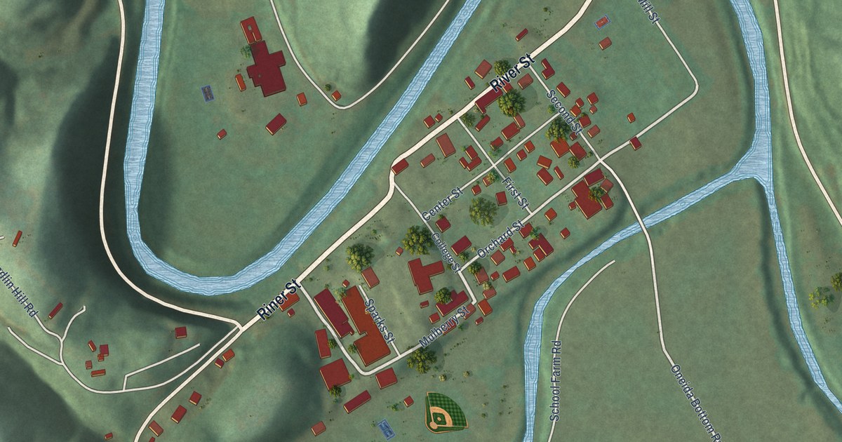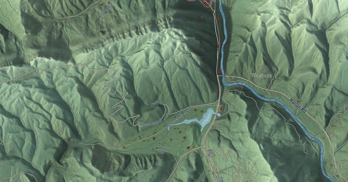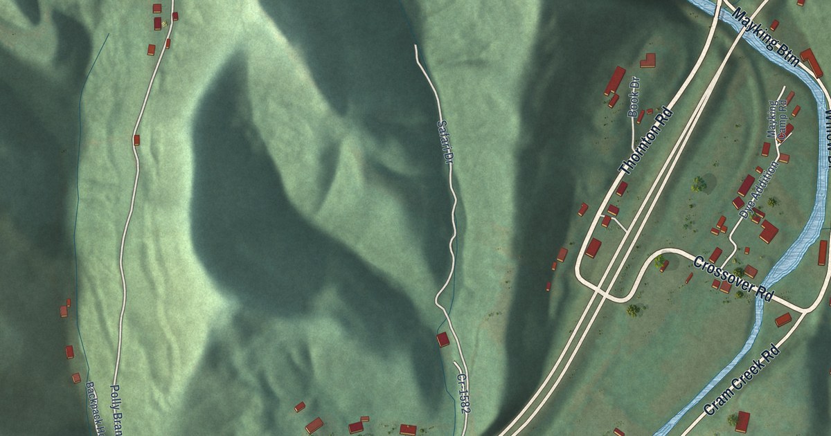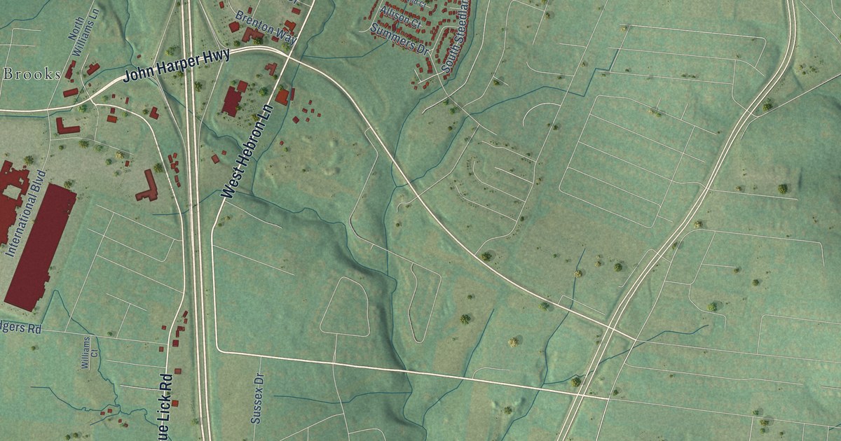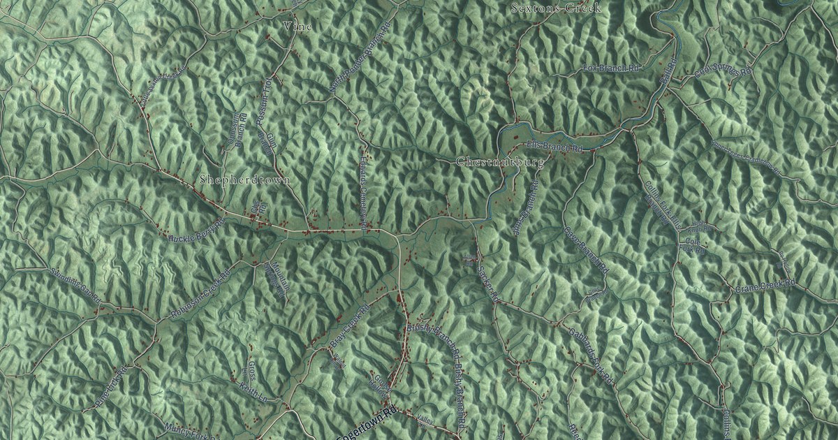
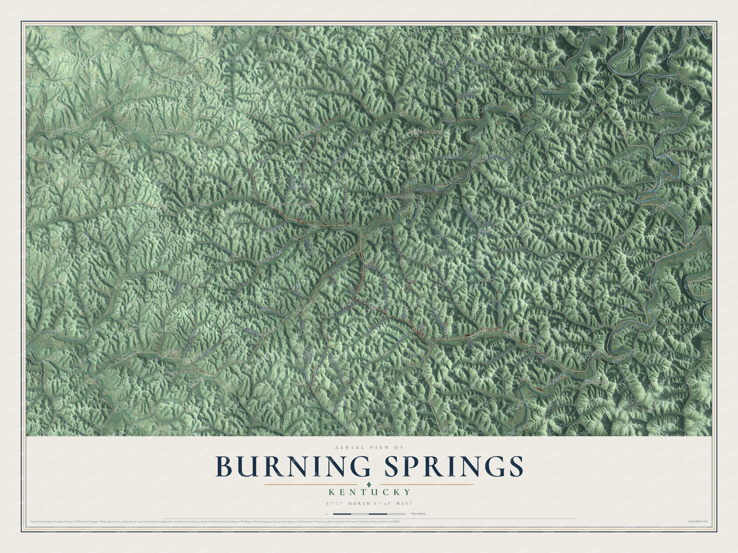
This beautifully detailed map of Burning Springs, Kentucky was created in 2026 using aerial imagery combined with modern topographical, census, street and landmark data. It’s a one-of-a-kind view of Burning Springs that combines accurate data with a vintage aesthetic. The map shows every building in its true location, many of the roads carry their names, and the shaded topographic relief shows the shape of the land.
Explore an aerial view of Burning Springs, Kentucky
On the map you’ll find Benge, Tanksley, Sextons Creek, Shepherdtown, Datha, Vine, Chestnutburg, Mill Pond, and Fogertown, along with Fogertown Road, Rawlings Road, Ells Branch Road, and more. If you look closely you can even find your house accurately drawn in its correct location. Zoom in on the preview to look for yours.
Did You Know?
From Internet Archive: "The Lower Teges coal is 3-4 inches thick, at elevation 946 feet, in natural exposure, 150 feet up a left branch (Post Office branch), at the town of Burning Springs."
Burning Springs is a community in Clay County.
Take a closer look at the Burning Springs map
Names on this map
These names are printed on this map.
Places: Benge, Tanksley, Sextons Creek, Shepherdtown, Datha, Vine, Chestnutburg, Mill Pond and Fogertown.
Streets and roads: Fogertown Road, Rawlings Road, Ells Branch Road, Robinson Creek Road, Ball Road, Sacker Road, Hogskin Road, Gabbards Fork Road, North Ponder Branch Road, Possum Trot, Cool Springs Road, Collins Fork Road.
More street names, A to Z
Alderson Branch Road, Allen Road, Arc Road, Blackeys Branch Road, Bray Creek Road, Bridge Branch Road, Brushy Branch Road, Buncomb Road, Bushy Branch Road, Cave Branch Road, Cbs Road, Charlie Rawlings Lane, Chicken Branch Road, Cole Fork Road, Collins Fork-Ellis Branch Road, Cove Branch Road, Crane Creek Road, Edwards Cemetery Road, Fox Branch Road, Frazier Road, Goose Hollow, Gross Lane, Gum Branch, Harris Hollow Road, High Knob Road, Hogskin Branch Road, Homer Baker Road, Huckle Berry Road, Jerrys Road, Jims Branch Road, Keith Lane, Laurel Heights Road, Little Sexton Creek Road, Lodge Hall Road, Mae Reid Road, Metcalf Hollow Road, Millpond Hollow Road, Mize Branch Road, Moore Road, Mountain Springs Road, Muncy Fork Road, Napier Hollow, Opossum Branch Road, Pine Lick Road, Po Hollow Road, Reed Branch Road, Rocky Branch, Shib Branch Road, Skull Branch Road, Spivey Branch Road, Swindling Gap Road, Upper Rader Road, Upper Teges-Cradlebow Road, Valley Lane, Walnut Hill Drive.
See it on a wall
The Burning Springs map as a framed print. Swipe for more.


This beautifully detailed map of Burning Springs makes an attractive addition to your office, library, or den, and it can even be used to teach children the geography and history of the area. It also makes a great gift for someone who left Burning Springs and still calls it home. When you’re done exploring, click here to get your copy of the Burning Springs map.