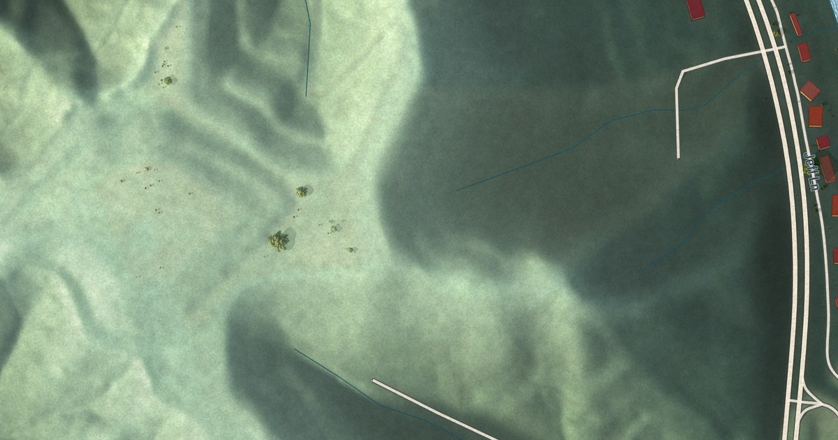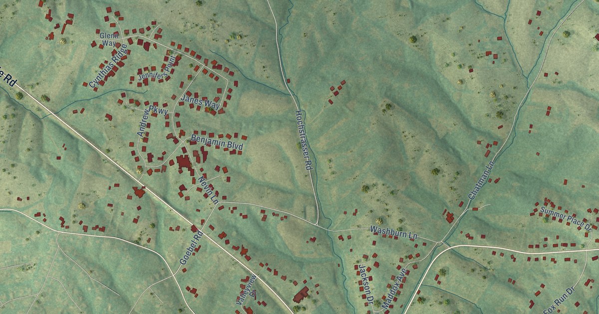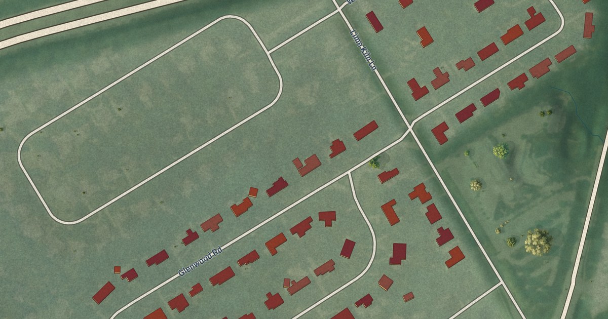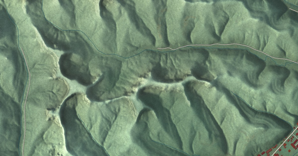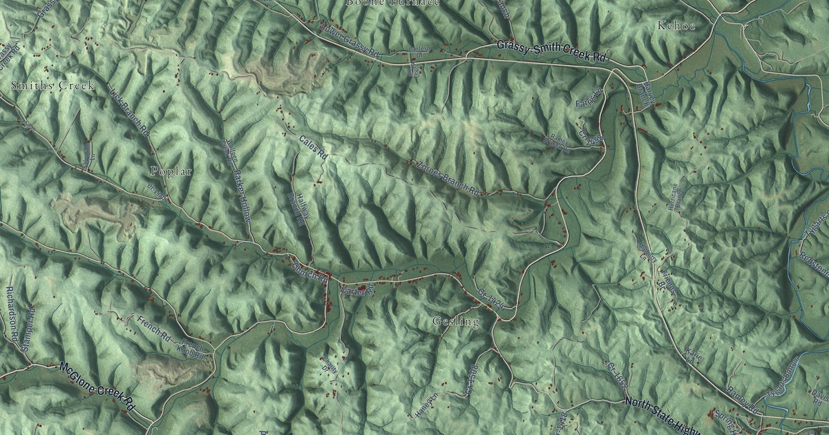
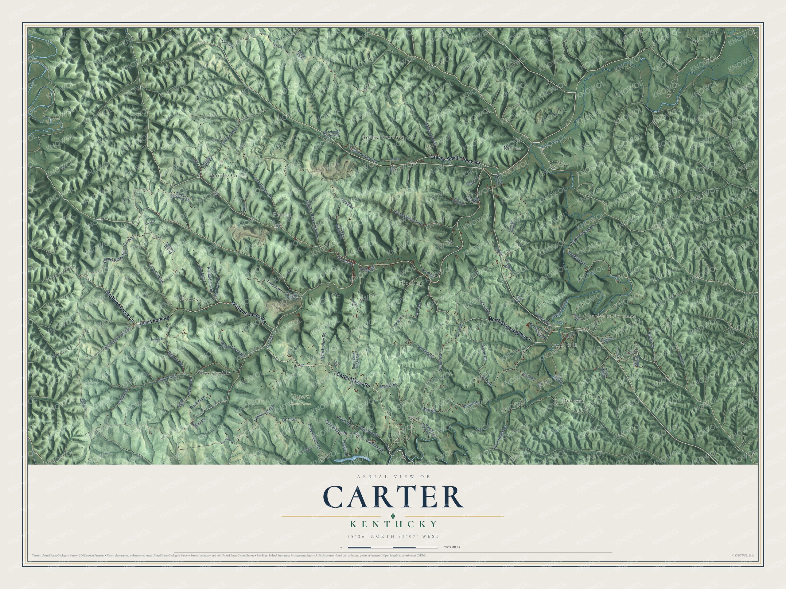
This beautifully detailed map of Carter, Kentucky was created in 2026 using aerial imagery combined with modern topographical, census, street and landmark data. It’s a one-of-a-kind view of Carter that combines accurate data with a vintage aesthetic. The map shows every building in its true location, many of the roads carry their names, and the shaded topographic relief shows the shape of the land.
Explore an aerial view of Carter, Kentucky
On the map you’ll find Charlotte Furnace, Tygarts State Forest, Smiths Creek, Kehoe, Boone Furnace, Deevert, Gesling, Eby, Wolf, Rooney, Poplar, Wesleyville, and more. If you look closely you can even find your house accurately drawn in its correct location. Zoom in on the preview to look for yours.
Did You Know?
From Internet Archive: "The Federal general, Carter, made a raid into Virginia from Kentucky in the winter of 1862-3, penetrating to the railroad at Bristol."
Carter is a community in Carter County.
Take a closer look at the Carter map
Names on this map
These names are printed on this map.
Places: Charlotte Furnace, Tygarts State Forest, Smiths Creek, Kehoe, Boone Furnace, Deevert, Gesling, Eby, Wolf, Rooney, Poplar, Wesleyville and Iron Hill.
Streets and roads: Davis Fork Road, North State Highway 7, Carter Caves Road, McGlone Creek Lane, Grassy-Smith Creek Road, McGlone Creek Road, Cooper Ridge Road, Cr-1440, Cr-1431, Grassy Creek, Cr-1419, Salem Road.
More street names, A to Z
Arvilla Lane, Beaver Creek Road, Big Run Road, Boone Ridge, Buckler Lane, Burge Road, Cales Road, Campground Drive, Carter Road, Carver Cemetery Road, Cave Branch, Cave Branch Road, Caveland Drive, Cave Road, Charity Drive, Church Road, Clearview Drive, Colen Branch, Cr-1081, Cr-1314, Cr-1418, Cr-1424, Cr-1432, Cr-1441, Cr-1444, Cr-1451, Cr-1480, Cr-1498, Cr-1508, Cr-1510, Cr-1626, Cr-1652, Cr-1657, Davis Road, Erwin Ridge Road, Farris Lane, French Knob Road, French Road, Friends Br, Fults Ridge Road, Gesling Road, Grassy Creek Road, Haleys Hill, Halfway Branch Road, Haney Lane, Harvey Branch, Horn Hollow Road, Hurricane Branch, Iron Hill Road, James Road, Jessie Road, Jordan Fork, Karie Lane, Kees Branch, Lantern Drive, Lena Road, Lick Branch Road, Lodge Road, Long Br, Long Fork Road, Lost Cavern Trail, Lower Grassy Road, Mc Glone Fork Road, Menix Road, Morgan Cemetery Road, Mulberry Lane, Mullins Road, North Sand Ridge Road, Oakland Ridge, Parker Hollow, Ramey Branch Road, Ramey Road, Redstone Drive, Richardson Road, Rock House Road, Rocky Road, Salvation Lane, Shyrock Road, Spring Hill Drive, Stafford Hill Road, Stamper Road, Starling Drive, Stump Run Road, Sunnyside Drive, Sutton Road, Swan Lane, Tiny Bush Lane, Tygarts Bottom, Tygarts Creek Road, Whitehouse Hollow Road, Wolfpen Creek Road, Wolf Road, Zornes Branch Road.
See it on a wall
The Carter map as a framed print. Swipe for more.


This beautifully detailed map of Carter makes an attractive addition to your office, library, or den, and it can even be used to teach children the geography and history of the area. It also makes a great gift for anyone with Carter roots. When you’re done exploring, click here to get your copy of the Carter map.