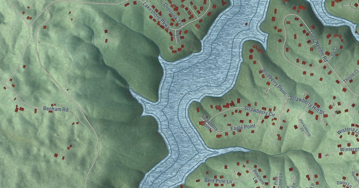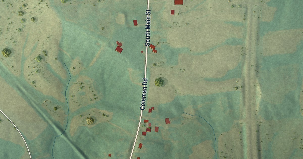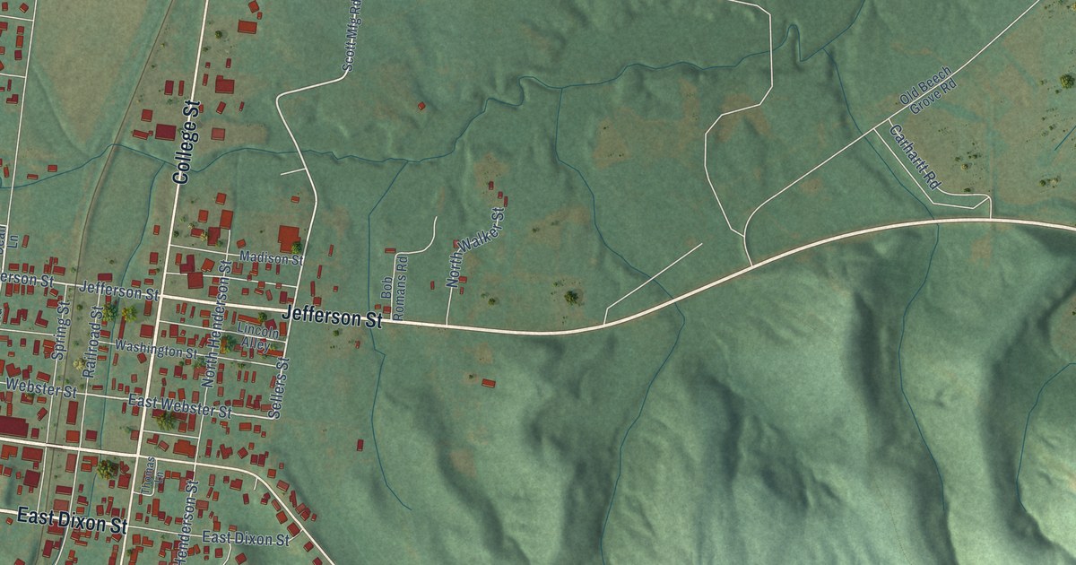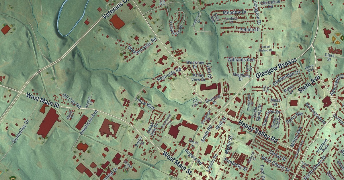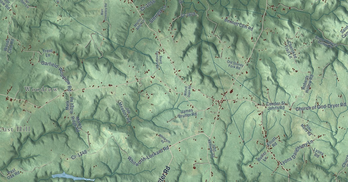
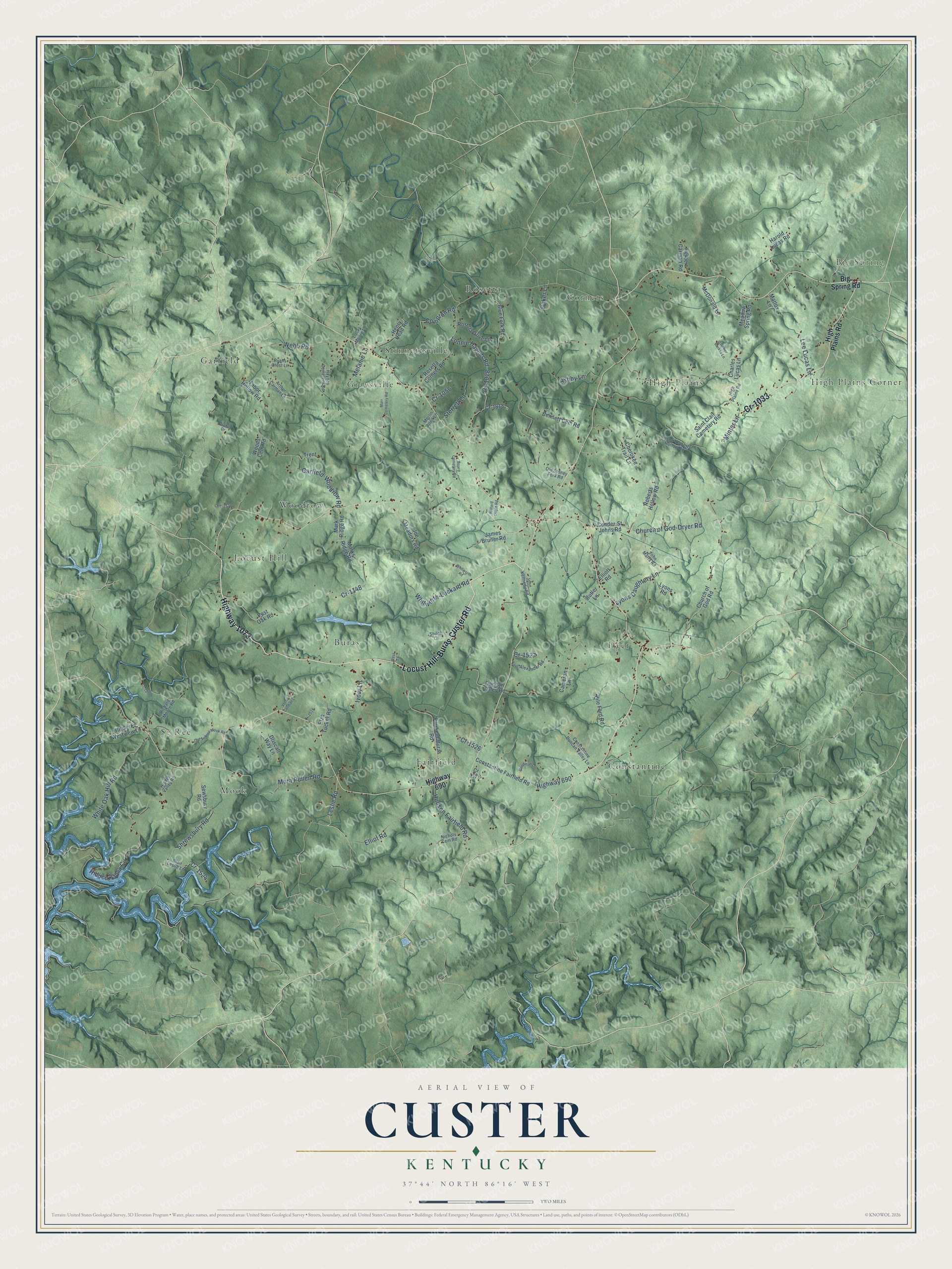
This beautifully detailed map of Custer, Kentucky was created in 2026 using aerial imagery combined with modern topographical, census, street and landmark data. It’s a one-of-a-kind view of Custer that combines accurate data with a vintage aesthetic. The map shows every building in its true location, many of the roads carry their names, and the shaded topographic relief shows the shape of the land.
Explore an aerial view of Custer, Kentucky
On the map you’ll find Big Spring, Se Ree, Dyer, Rosetta, Garfield, Locust Hill, Fairfield, High Plains Corner, Constantine, Woodrow, Graysville, Corners, and more. If you look closely you can even find your house accurately drawn in its correct location. Zoom in on the preview to look for yours.
Did You Know?
From Internet Archive: "While waiting his call he was named as one of the twenty-four appointed by Notre Dame for training in camp, and as such entered Camp Custer, but finished his training at Camp Lcc."
Custer is a community in Breckinridge County.
Take a closer look at the Custer map
Names on this map
These names are printed on this map.
Places: Big Spring, Se Ree, Dyer, Rosetta, Garfield, Locust Hill, Fairfield, High Plains Corner, Constantine, Woodrow, Graysville, Corners, Buras, High Plains, Mook and Stinnettsville.
Streets and roads: Locust Hill-Buras-Custer Road, Highway 1073, Cr-1033, Leslie Road, Church of God-Dryer Road, Lyons Daughtery Lane, Highway 690, Cr-1148, Garfield-Woodrow Road, Shrewsbury Road, Lonnie Haynes Road, Cr-1028.
More street names, A to Z
Arthur Carman Lane, Ashby Lane, Baker Lane, Bennett Cem Road, Big Spring Road, Blair Leslie Lane, Blue Fork Road, Board Cemetery Road, Bower Burkes Lane, Butler Lane, Cameron Lane, Charles Lucas Lane, Cherokee Trail Lane, Church of God Road, Compton Road, Conder-St Johns Road, Constantine Duncan Valley Lane, Constantine Fairfield Road, Cr-1056, Cr-1244, Cr-1518, Cr-1524, Cr-1526, Cr-1527, Cr-1548, Cr-1818, Cr 1178, Custer-Roberts Hollow Road, Drake Drive, Driscall Way Lane, Duncan Valley Road, Elliot Road, Elliott Road, Elza Tucker Road, Fairfield-Buras Road, Goodman Lane, Harold Lucas Road, Haynes Cemetery Road, Henry Head Road, Herbert Carman Road, Hidden Valley Circle, Hidden Valley Road, High Plains Road, Hudson Fairfield Road, Ivory Lane, James Bruner Road, Joe Meadors Road, John Kennedy Road, John Marrs Road, Lee Lucas Lane, Lucas Moore Lane, Lyons Road, Mark Ridge Road, Marks Ridge Road, Marr Cemetery Road, Mattox Lane, McDonald Lane, Meadow Spring Road, Melanie Lane, Merlin Allen Lane, Minter Lane, Mora Pullen Road, Nichols Cem Road, Old Sebree Mook Road, Old Seree Westview Lane, Old Stoney Fork Road, Paul Alexander Road, Pile Ford Road, Post Oak Road, Richard Moore Road, Roberts Hollow Road, Rosetta Corners Road, Rosetta Drive Lane, Ryans Crest Lane, Saint Clair Cemetery Road, Sewsbury Road, Shiloh Lane, Sterrett Lane, Tabor Hollow Road, Trent Lane, Vernon Carman Lane, Webb Road, West Lane, White Oak Hill Road, Whitworth-Lockard Road, Whitworth Road, Willard Dupin Road, Woods Cem Road.
See it on a wall
The Custer map as a framed print. Swipe for more.


This beautifully detailed map of Custer makes an attractive addition to your office, library, or den, and it can even be used to teach children the geography and history of the area. It also makes a great gift for anyone with Custer roots. When you’re done exploring, click here to get your copy of the Custer map.