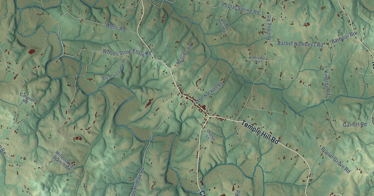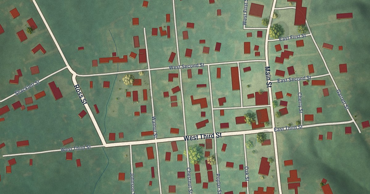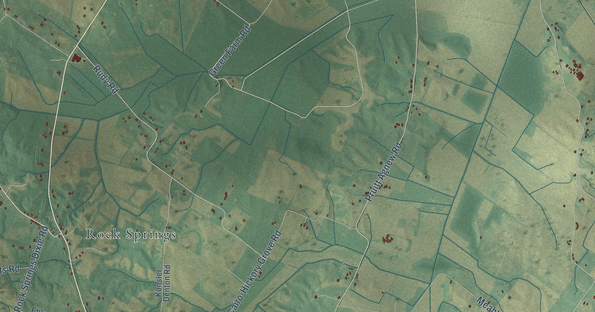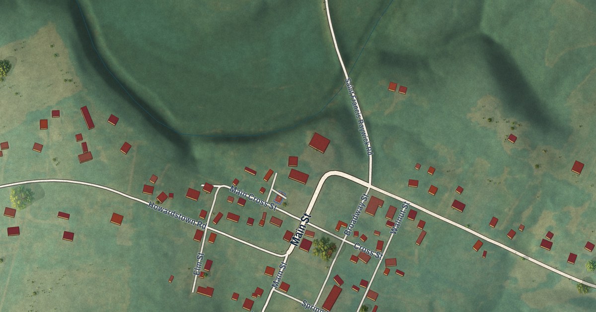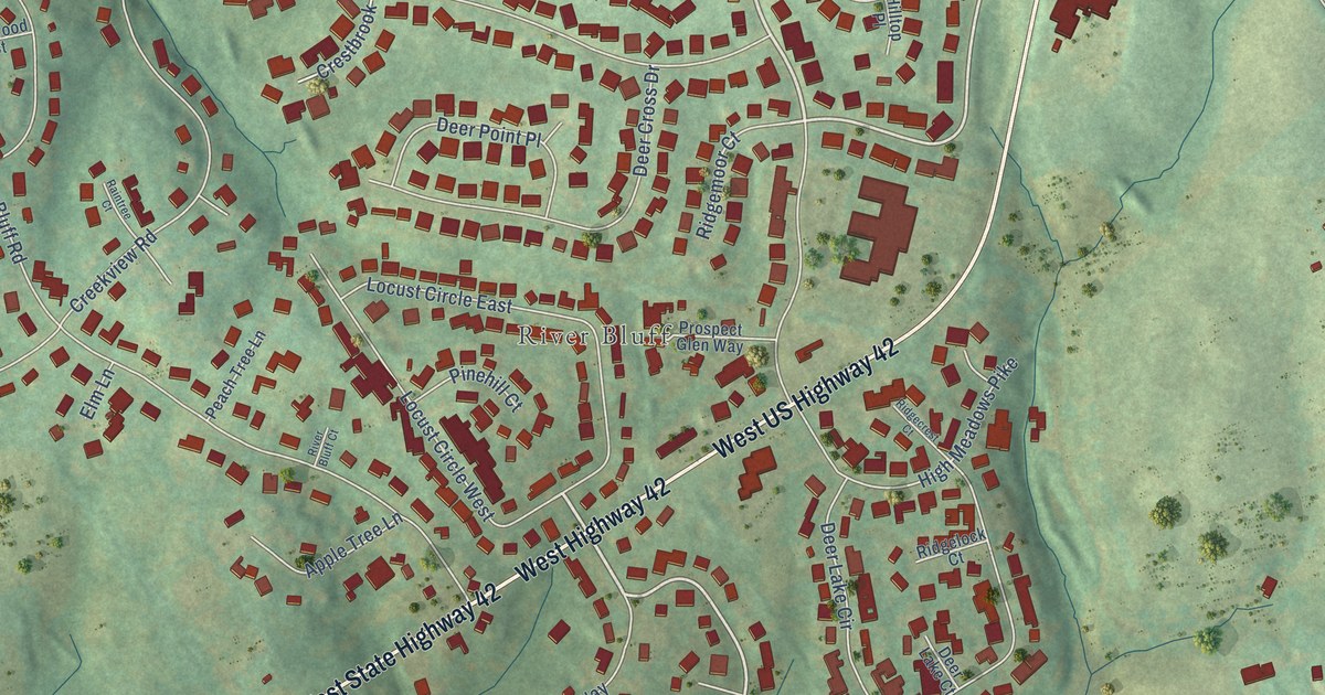
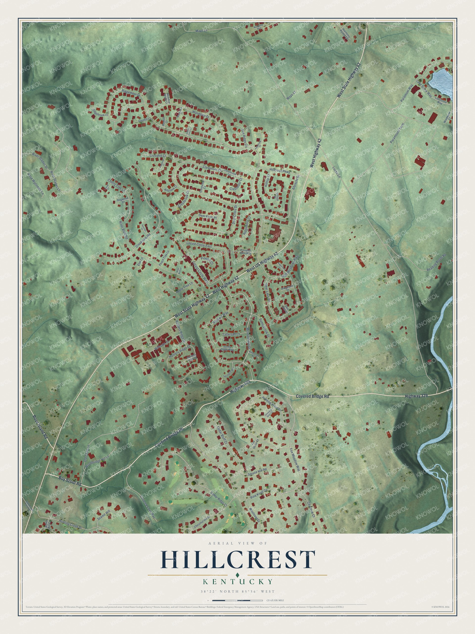
This beautifully detailed map of Hillcrest, Kentucky was created in 2026 using aerial imagery combined with modern topographical, census, street and landmark data. It’s a one-of-a-kind view of Hillcrest that combines accurate data with a vintage aesthetic. The map shows every building in its true location, many of the roads carry their names, and the shaded topographic relief shows the shape of the land.
Explore an aerial view of Hillcrest, Kentucky
On the map you’ll find River Bluff and Lion’s Club, along with West State Highway 42, West US Highway 42, West Highway 42, Covered Bridge Road, Highway 329, Boy Scout Road, Rose Island Road, Ridgemoor Drive, Meadowland Drive, Locust Circle East, and more. If you look closely you can even find your house accurately drawn in its correct location. Zoom in on the preview to look for yours.
Take a closer look at the Hillcrest map
Names on this map
These names are printed on this map.
Places: River Bluff and Lion's Club.
Streets and roads: West State Highway 42, West US Highway 42, West Highway 42, Covered Bridge Road, Highway 329, Boy Scout Road, Rose Island Road, Ridgemoor Drive, Meadowland Drive, Locust Circle East, Fox Meadow Way, Albrecht Drive.
More street names, A to Z
Apple Tree Lane, Boxhill Court, Cedar Bluff Court, Cedar Ridge Court, Charlock Court, Cherry Tree Lane, Chestnut Hill Drive, Chickory Glen Court, Circle Crest Court, Covered Cove Way, Creekbend Court, Creekview Road, Crestbrook Circle, Crestbrook Court, Crestmoor Circle, Crestmoor Court, Crestview Cv, Crosshill Court, Deer Cross Drive, Deer Lake Circle, Deer Lake Court, Deer Point Place, Doe Ridge Court, Dogwood Court, Elm Lane, Farmview Court, Fox Glove Court, Glenhill Court, Harmony Pointe Circle, Hayfield Way, High Meadows Pike, Hillcreek Court, Hillcross Parkway, Hilltop Court, Hilltop Place, Hunters Ridge Court, Hunters Ridge Drive, Hunters View Court, Hunting Creek Drive, Hunting Crest Drive, Lake Stone Way, Lakestone Way, Laurel Court, Locke Lane, Locust Circle West, Mayo Court, Mayo Lane, Meadow Wood Court, Old Clore Lane, Paramont Way, Paramount Farm, Peach Tree Lane, Pinehill Court, Pine Knoll Circle, Prospect Glen Way, Raintree Court, Reading Room Road, Ridgebrook Court, Ridgecrest Court, Ridgelock Court, Ridgemoor Court, River Bluff Court, River Bluff Road, River Glades Drive, River Glades Lane, Rose Wycombe Lane, Scenic Hill, Springhill Way, Spruce Hill Road, Sunnybrook Drive, Sunny Slope Way, Sutherland Farm Road, Tattersall Lane, Westbury Way, Westover Drive, Wilhoyte Court, Willowcreek Road, Windward Court, Woodbridge Hill Lane, Woodcrest Court, Woodside Drive, Wythe Hill Circle.
See it on a wall
The Hillcrest map as a framed print. Swipe for more.


This beautifully detailed map of Hillcrest makes an attractive addition to your office, library, or den, and it can even be used to teach children the geography and history of the area. It also makes a great gift for anyone with Hillcrest roots. When you’re done exploring, click here to get your copy of the Hillcrest map.