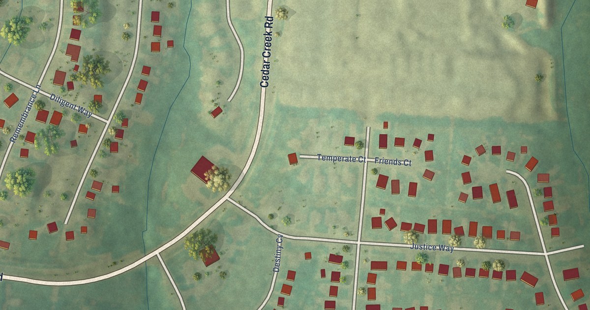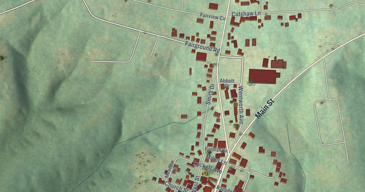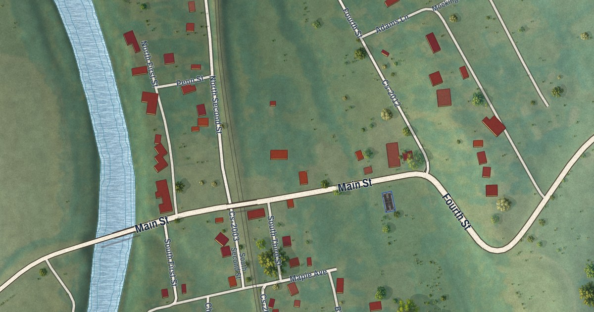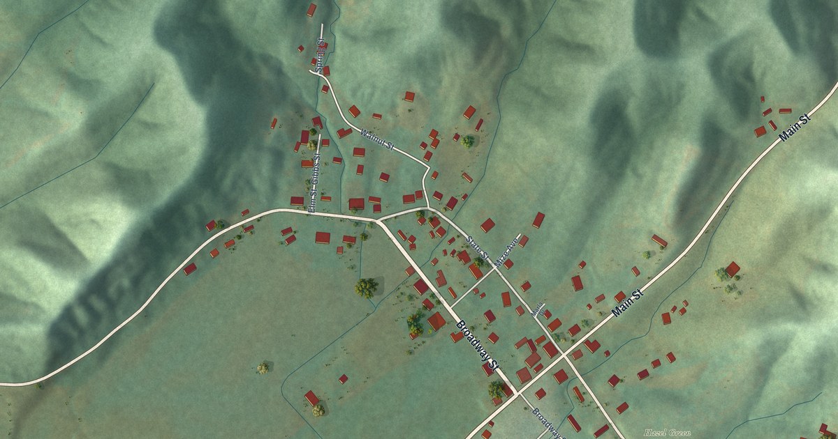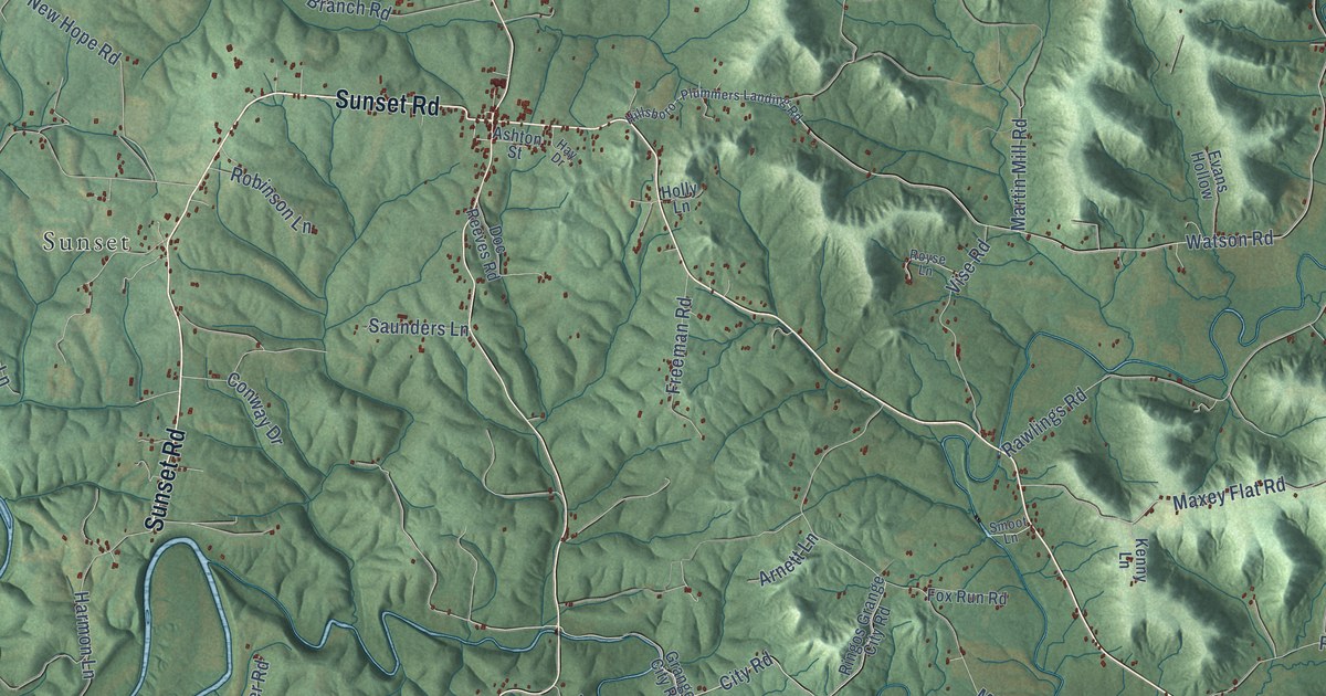
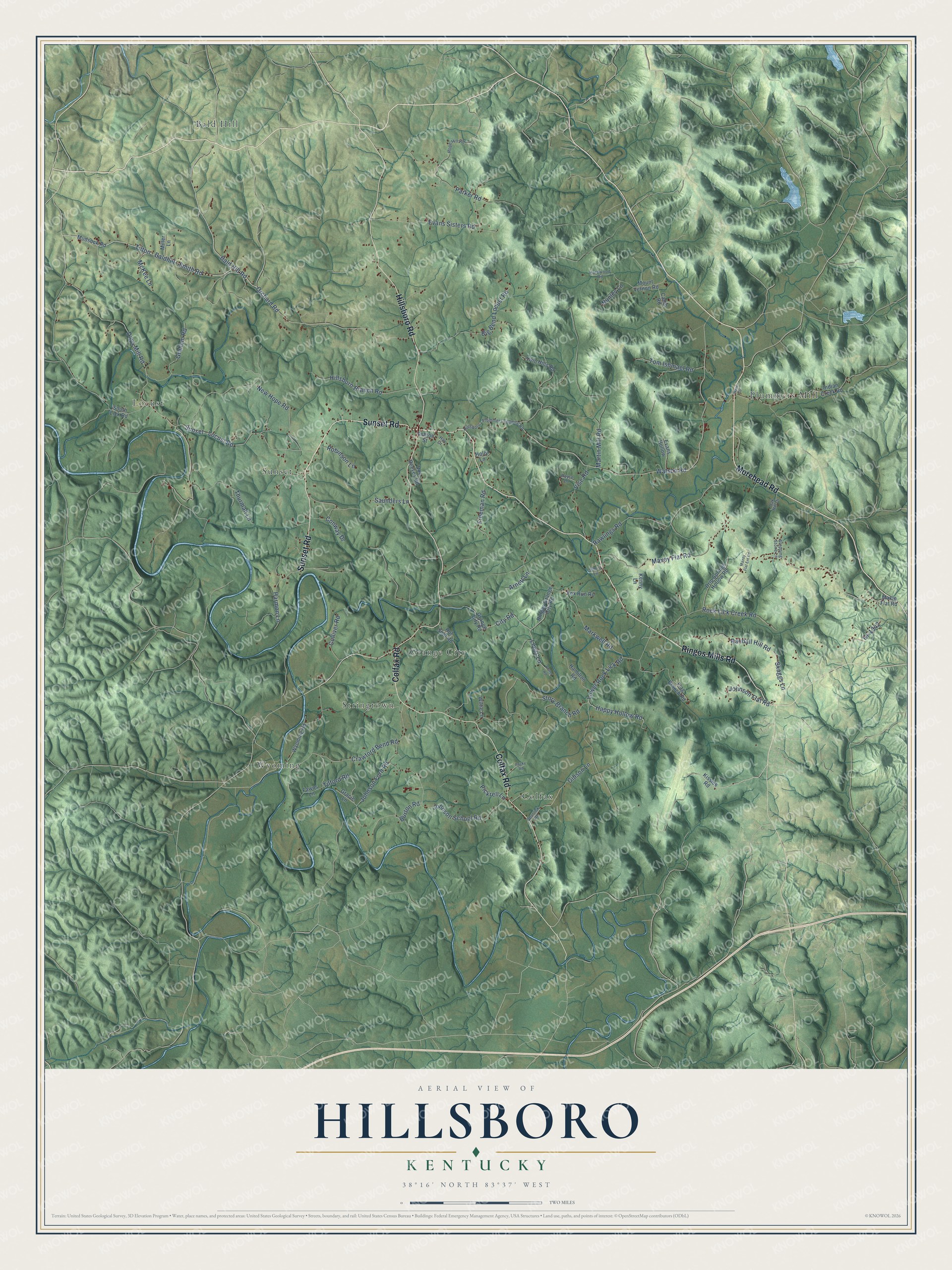
This beautifully detailed map of Hillsboro, Kentucky was created in 2026 using aerial imagery combined with modern topographical, census, street and landmark data. It’s a one-of-a-kind view of Hillsboro that combines accurate data with a vintage aesthetic. The map shows every building in its true location, many of the roads carry their names, and the shaded topographic relief shows the shape of the land.
Explore an aerial view of Hillsboro, Kentucky
On the map you’ll find Sunset, Plummers Mill, Wyoming, Bald Hill, Colfax, Grange City, Locust, and Stringtown, along with Morehead Road, Sunset Road, Hillsboro Road, Ringos Mills Road, and more. If you look closely you can even find your house accurately drawn in its correct location. Zoom in on the preview to look for yours.
Did You Know?
From Internet Archive: "Pleasant church, still retaining the care of Hillsboro.’ Besides these, he was, during his ministry, pastor of several other churches, at different periods."
Hillsboro is a community in Fleming County.
Take a closer look at the Hillsboro map
Names on this map
These names are printed on this map.
Places: Sunset, Plummers Mill, Wyoming, Bald Hill, Colfax, Grange City, Locust and Stringtown.
Streets and roads: Morehead Road, Sunset Road, Hillsboro Road, Ringos Mills Road, Colfax Road, Tilton - Baldhill - Smith Road, Bald Hill Road, Crawford Bend Road, Maxey Flat Road, Watson Road, Days Mill Road, Story Branch Road.
More street names, A to Z
Arnett Lane, Ashton Street, Big Bend Locust Road, Burton Road, Camp Road, City Road, Colliver Road, Conway Drive, Cr-1342, Doc Reeves Road, Drip Springs Hollow Road, Evans Hollow, Evans Sisters Road, Fawns Lane, Flag Branch Road, Fox Run Road, Freeman Road, Gibson Lane, Gracie Lane, Graham Road, Grange City Road, Hamilton Road, Happy Hollow Road, Hardwood Road, Harmon Lane, Hay Drive, Hillsboro - Plummers Landing Road, Hillsboro Branch Road, Holly Lane, Hope Hill Road, Hot Shot Road, Indian Creek Road, Johnson Flat Road, Johnson Ford Road, Johnson School Road, Kenny Lane, Kissick Road, Lewis Lane, Lower Rock Lick Road, Markwell Road, Martin Mill Road, Maxey Flat Ent Road, Maxie Flat Road, McKee Lane, Miller Lane, Mount Vernon Road, Mudsock Road, New Hope Road, Nunley Lane, Oak Hill Drive, Orchard Road, Parker Road, Pickrell Lane, Prater Road, Randall Hill Road, Rawlings Road, Ringos Grange City Road, Robinson Lane, Rock Lick Creek Road, Rocky Road, Royse Lane, Saunders Lane, Skaggs Lane, Smoot Lane, South Lick Road, Spurlick Road, Stepping Stone Lane, Sunset - Locust Road, Thurman Lane, Tilford Road, Tom Ishmael Road, Twin Hills Road, Vise Road, Ward Drive, Willie Lane, Wyoming Road.
See it on a wall
The Hillsboro map as a framed print. Swipe for more.


This beautifully detailed map of Hillsboro makes an attractive addition to your office, library, or den, and it can even be used to teach children the geography and history of the area. It also makes a great gift for someone who left Hillsboro and still calls it home. When you’re done exploring, click here to get your copy of the Hillsboro map.