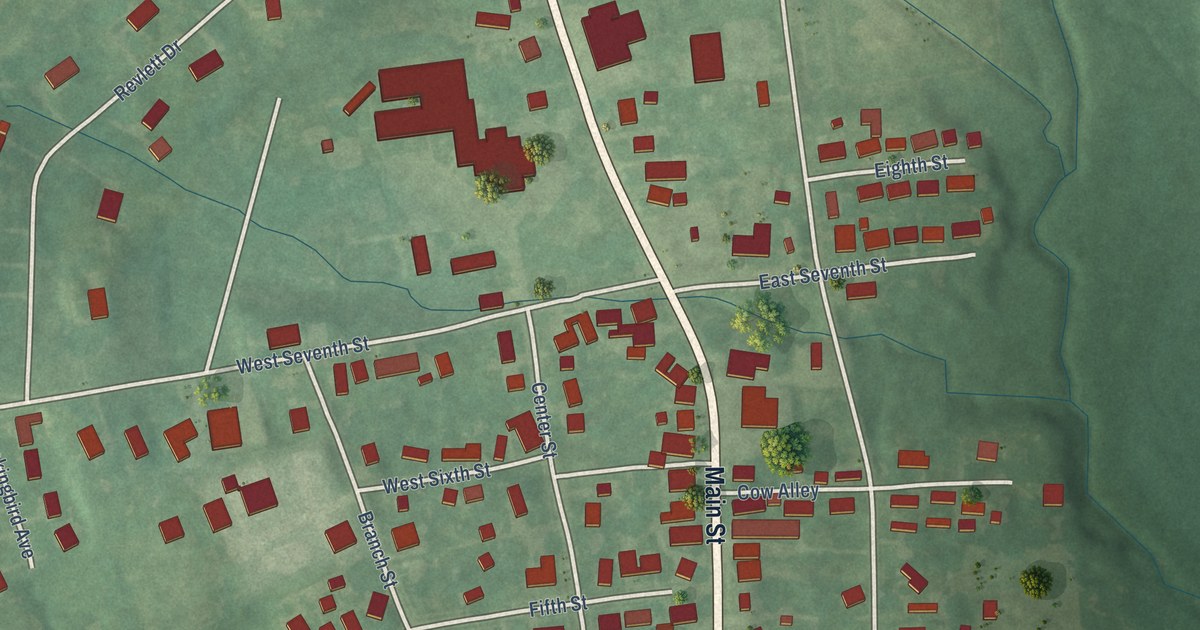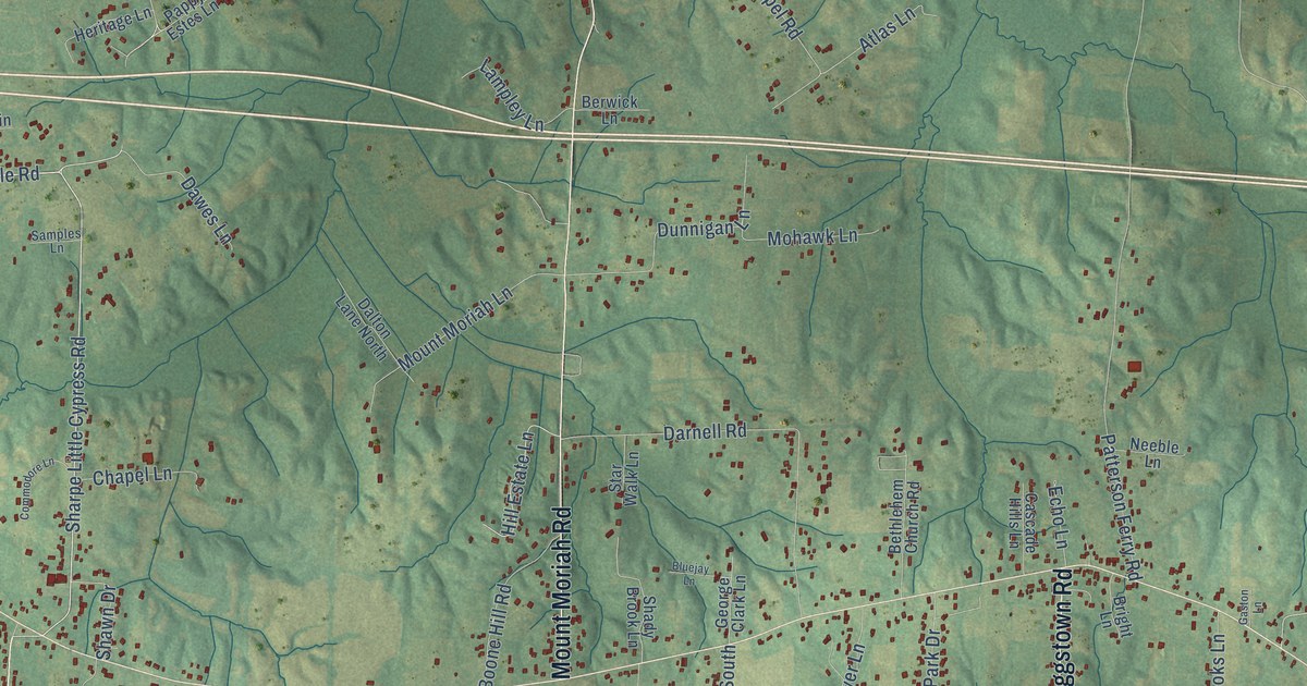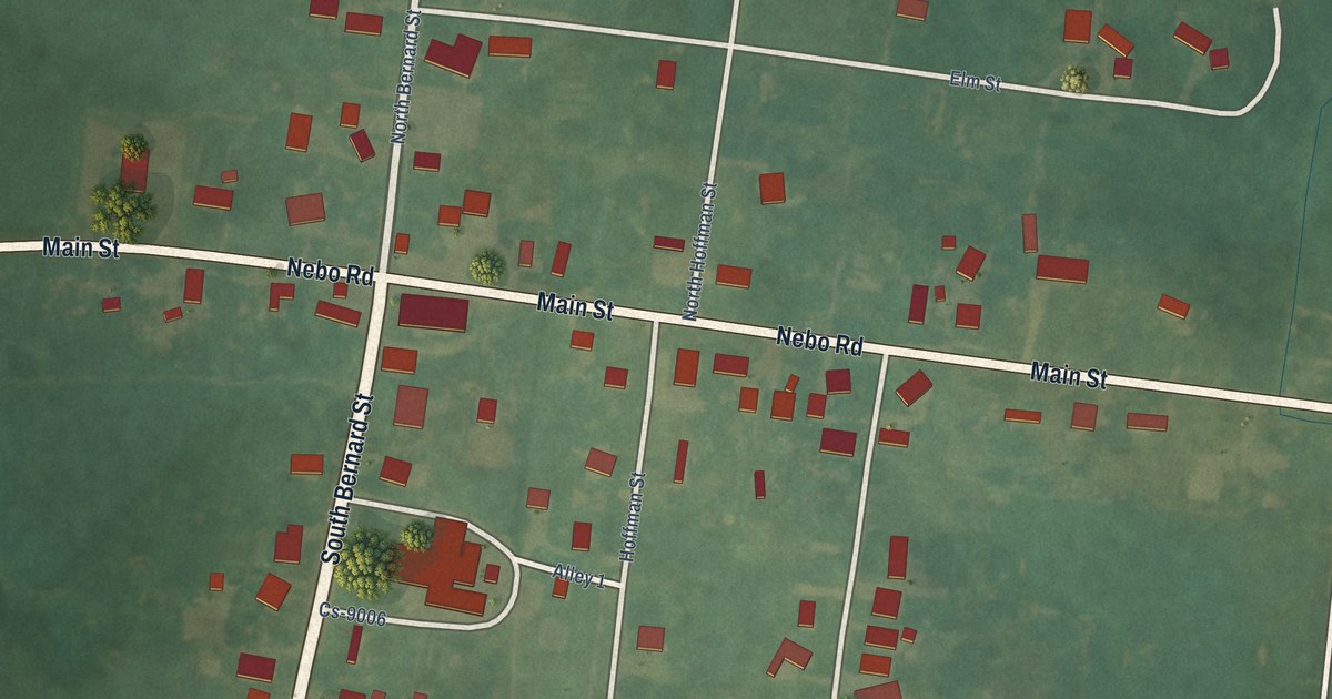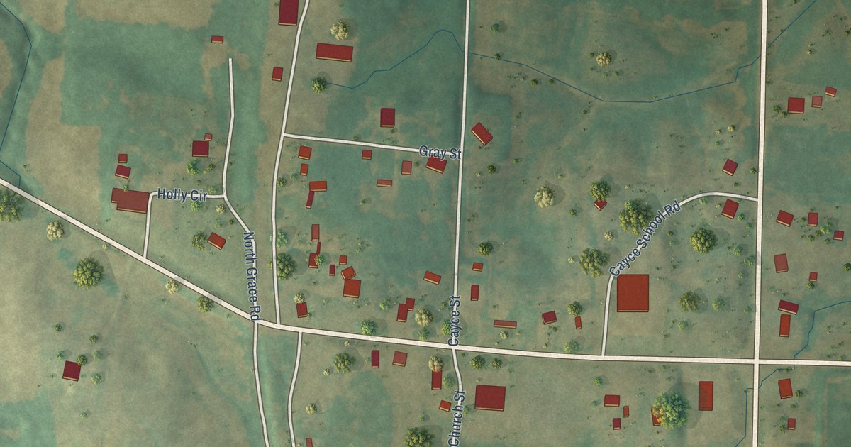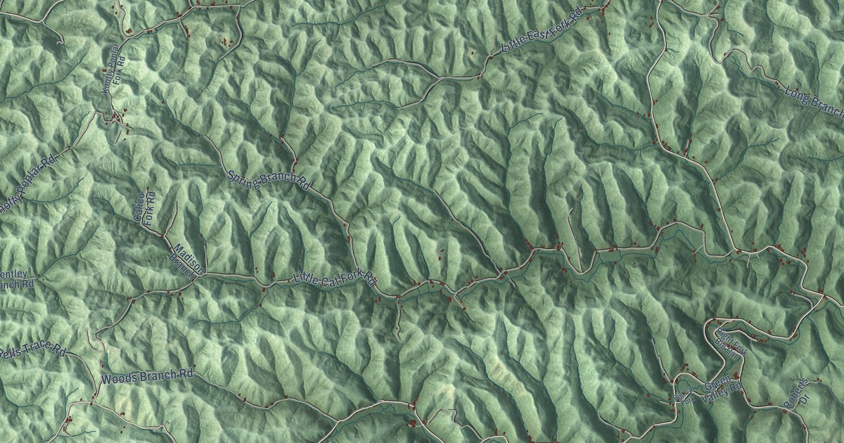
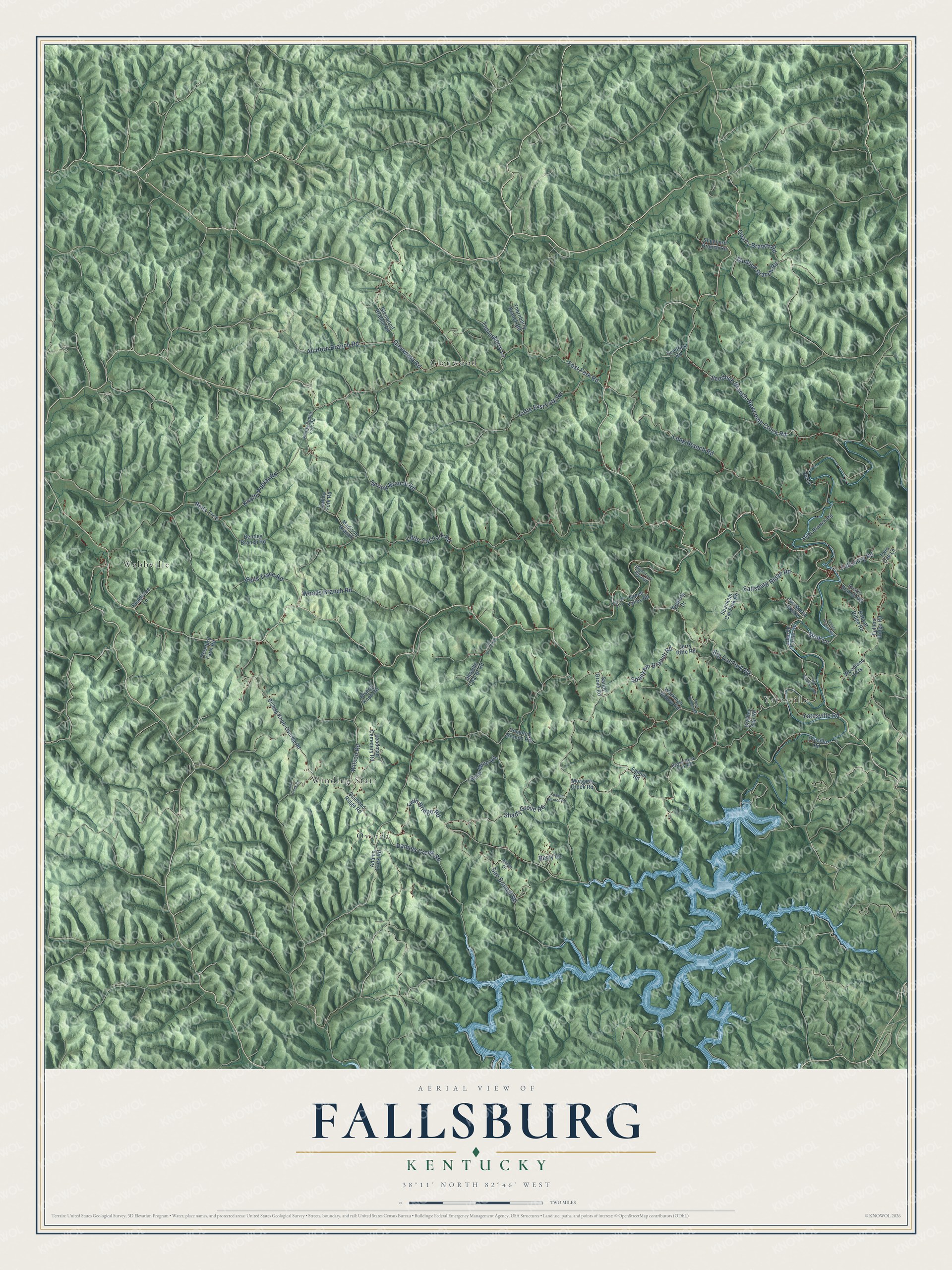
This beautifully detailed map of Fallsburg, Kentucky was created in 2026 using aerial imagery combined with modern topographical, census, street and landmark data. It’s a one-of-a-kind view of Fallsburg that combines accurate data with a vintage aesthetic. The map shows every building in its true location, many of the roads carry their names, and the shaded topographic relief shows the shape of the land.
Explore an aerial view of Fallsburg, Kentucky
On the map you’ll find Yatesville, Webbville, Glenwood, Overda, and Winding Stair, along with Spankem Branch Road, Yatesville Road, Big Cat Fork Road, East Fork Road, Glenwood Road, Fallsburg Road, Daniels Creek Road, and more. If you look closely you can even find your house accurately drawn in its correct location. Zoom in on the preview to look for yours.
Did You Know?
From Internet Archive: "Quite a number of young folks attended church at Fallsburg Saturday night."
Fallsburg is a community in Lawrence County.
Take a closer look at the Fallsburg map
Names on this map
These names are printed on this map.
Places: Yatesville, Webbville, Glenwood, Overda and Winding Stair.
Streets and roads: Spankem Branch Road, Yatesville Road, Big Cat Fork Road, East Fork Road, Glenwood Road, Fallsburg Road, Daniels Creek Road, Little Cat Fork Road, Shady Grove Road, Long Branch Road, Seedtick Branch-Newcomb Creek Road, San Branch Road.
More street names, A to Z
Aaron Drive, Adams Fork Road, All Horn Branch Road, Austin Branch Road, Bells Trace Road, Bells Trce, Bentley Branch Road, Berry Lane, Big Cat Fork, Bishop Knob-Overda Road, Bishop Knob Road, Bobcat Ridge Road, Bradley Gap Road, Calico Fork Road, Charlie Carter Road, Coal Branch Road, Compton Branch Road, Diamond Ridge Road, Drusilla Road, Dyer Branch Road, Fallsburg Ridge Road, Fannin Road, Fullers Ridge Road, Glenwood Branch Road, Green Valley Road, Hereford Farm Road, Irish Creek Road, Jerry Riffe Road, Jet Lane, Joe Martin Hollow, Knotty Poplar Fork Road, Knotty Poplar Road, Leadman Cemetery Road, Little East Fork Road, Madison Branch, Mink Lane, Morgans Creek Road, Moss Branch Road, Mudlick Branch Road, Old Fallsburg Road, Olioville Coal Br Road, Peachtree Lane, Quarry Branch Road, Raven Rock Fork Road, Right Fork Big Cat, Roberts Drive, Sandy Grove Road, Savage Branch Road, Seedtick Road, Shepherd Branch Road, Spakem Branch Road, Spankem Cat Fork Road, Spring Branch Road, Strip Mine Road, Thornberry Branch Road, Thornsberry Lane, Twin Bridge Road, Twin Oak Lane, Wilson Road, Woodland Ests, Woods Branch Road, Workman Hollow Road.
See it on a wall
The Fallsburg map as a framed print. Swipe for more.


This beautifully detailed map of Fallsburg makes an attractive addition to your office, library, or den, and it can even be used to teach children the geography and history of the area. It also makes a great gift for someone who left Fallsburg and still calls it home. When you’re done exploring, click here to get your copy of the Fallsburg map.