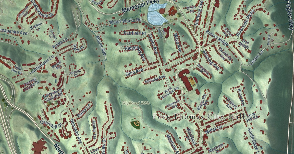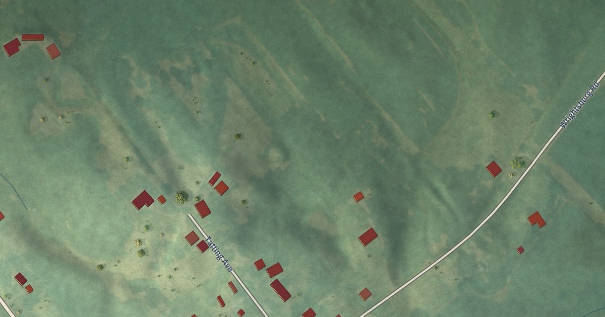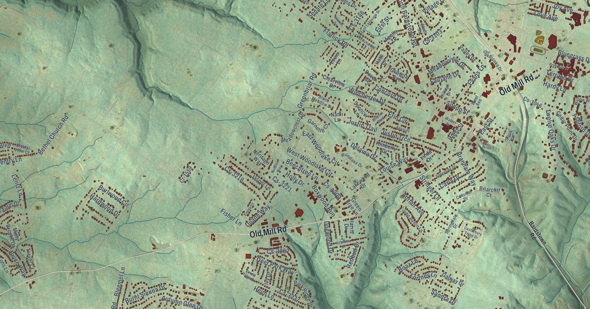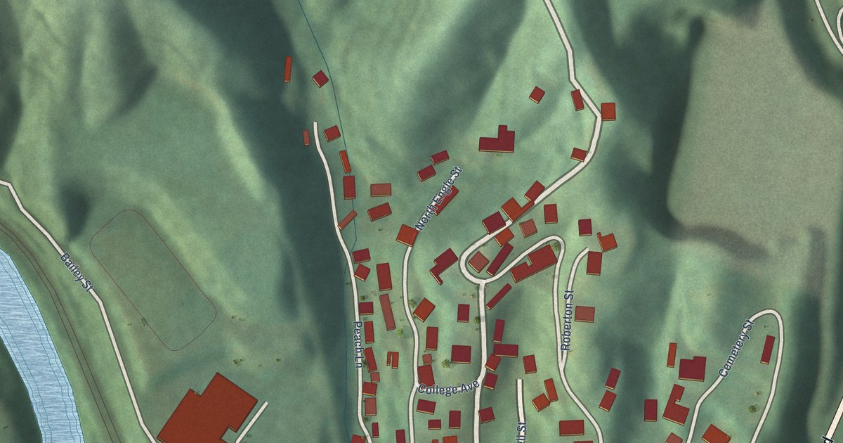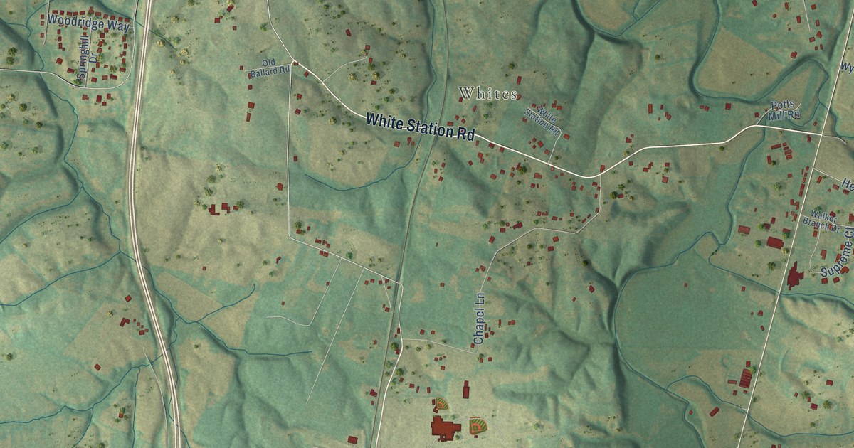
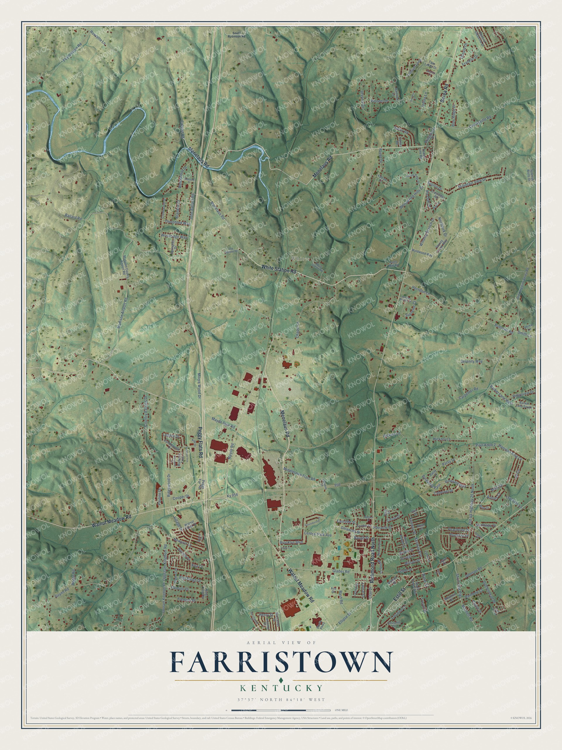
This beautifully detailed map of Farristown, Kentucky was created in 2026 using aerial imagery combined with modern topographical, census, street and landmark data. It’s a one-of-a-kind view of Farristown that combines accurate data with a vintage aesthetic. The map shows every building in its true location, many of the roads carry their names, and the shaded topographic relief shows the shape of the land.
Explore an aerial view of Farristown, Kentucky
On the map you’ll find Whites, along with Menelaus Road, White Station Road, Walnut Meadow Road, Peggy Flats Road, Berea Road, Richmond Road North, Estill Street, Mayde Road, Vineyard Way, Thorobred Way, Kenway Street, and more. If you look closely you can even find your house accurately drawn in its correct location. Zoom in on the preview to look for yours.
Take a closer look at the Farristown map
Names on this map
These names are printed on this map.
Places: Whites.
Streets and roads: Menelaus Road, White Station Road, Walnut Meadow Road, Peggy Flats Road, Berea Road, Richmond Road North, Estill Street, Mayde Road, Vineyard Way, Thorobred Way, Kenway Street, Patsy Drive.
More street names, A to Z
Ace Drive, Allie Court, Anderson Trce, Ashley Court, Ballard Road, Barker Lane South, Barker Lane West, Barnes Lane, Baugh Street, Blackberry Lane, Blossom Drive, Blue Ridge Drive, Blythe Court, Bobtown Road, Bocote Drive, Brandon Court, Bridgestone Drive, Brooklyn Boulevard, Brown Street, Burchwood Drive, Burgundy Pass, Cabernet Drive, Caleast Road, Candlewood Drive, Carpenter Road, Castle Drive, Central Park Avenue, Chapel Lane, Cherokee Lane, Churchill Drive, Circle Drive, Clay Drive, Cooper Drive, Country Estates Drive, Creekwood Drive, Crestview Road, Crooksville Road, Daisey Road, Delancey Street, Donald Drive, Eastside Street, Elkmont Drive, Ellipse Street, Elm Sleigh Drive, Exodus Drive, Falcon Court, Franklin Drive, Galloway Lane, General Cleburne Drive, Glades Road, Glade Street, Gladson Drive, Goldenhead Drive, Guynn Road, Harrison King Lane, Henry Street, Herndon Lane, Hickery Lane, Hickory Lane, Highland Drive, Indian Lane, Jd Circle, Jessica Circle, John Ballard Road, Johnson Road, Kenway Avenue, Kidd Drive, King Cross Drive, Koa Court, Ky 956, Laural Drive, Layne Court, Legacy Drive, Leslie Drive, Lorraine Court, Lynne Drive, Madison Airport Road, Madison County Airport Road, Maple Drive, Marcellus Drive, Mayde Spur Road, Meadow Drive, Meadowlark Drive, Melody Court, Middletown Flats Road, Misti Drive, Mitchell Road, Moore Wood Drive, Morgan Street, Mountain View Drive, Mulberry Trce, Newport Lane, Northfork Drive, North Powell Street, Northway Drive, Old Ballard Road, Old Kingston-Berea Road, Old US Highway 25 North, Opossum Kingdom Road, Oposum Kingdom Road, Otis Street, Patsy Lane, Pauline Drive, Peachtree Drive, Peggy Flat Spr, Pepper Drive, Peytontown Road, Pilot Knob 2, Pine Street, Pinnacle Street, Pin Oak Drive, Pioneer Drive, Pirate Parkway, Plumtree Drive, Potts Mill Road, Power Line Road, Queensborough Street, Quincy Court, Ragen Road, Rainbow Court, Rainbow Lane, Rash Road, Raven Drive, Ridgeview Drive, Ridgewood Drive, Rolling Ridge Drive, Rose Court, Rowlette Lane, Sage Grass Drive, Salter Road, Scruggs Street, Serenity Way, Short Line Pike, Smith Lane, South Powell Avenue, South Robinson Road, Spanish Wells Drive, Springhill Drive, Spurlin Drive, Stoney Creek Way, Supreme Court, Teachers Lane, Tremont Drive, Trevor Drive, Trillium Loop, Twin Lakes Drive, Verna Lane, Vervain Court, Village Drive, Walker Branch Drive, Walnut Creek Drive, Water Street, Welchwood Drive, Whispering Hills Drive, Whitehall Drive, Wilson Street, Winding Branch Drive, Woodridge Way, Wyldwood Way.
See it on a wall
The Farristown map as a framed print. Swipe for more.


This beautifully detailed map of Farristown makes an attractive addition to your office, library, or den, and it can even be used to teach children the geography and history of the area. It also makes a great gift for someone who left Farristown and still calls it home. When you’re done exploring, click here to get your copy of the Farristown map.