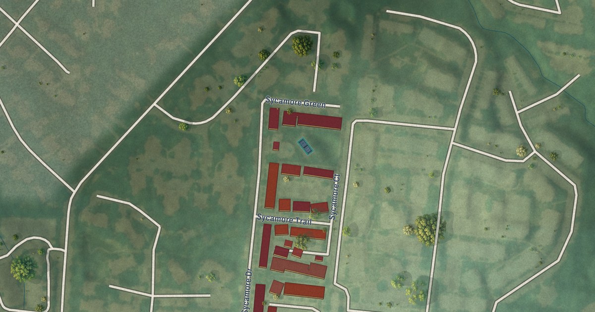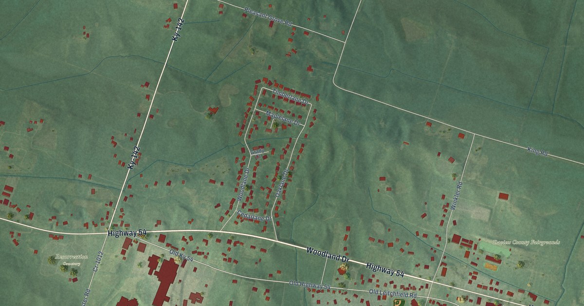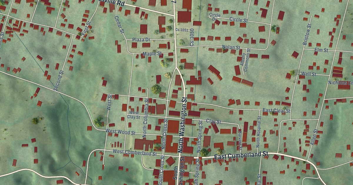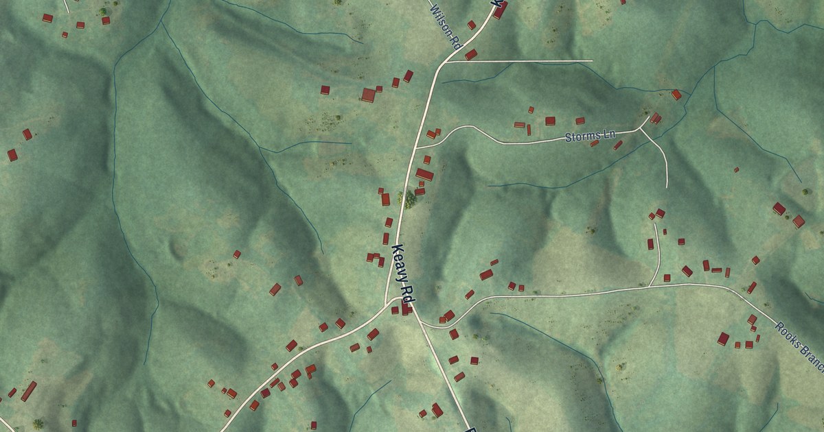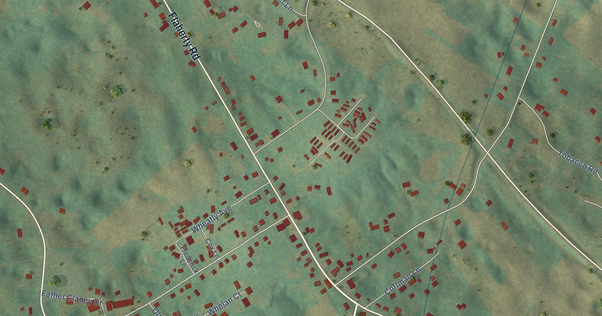
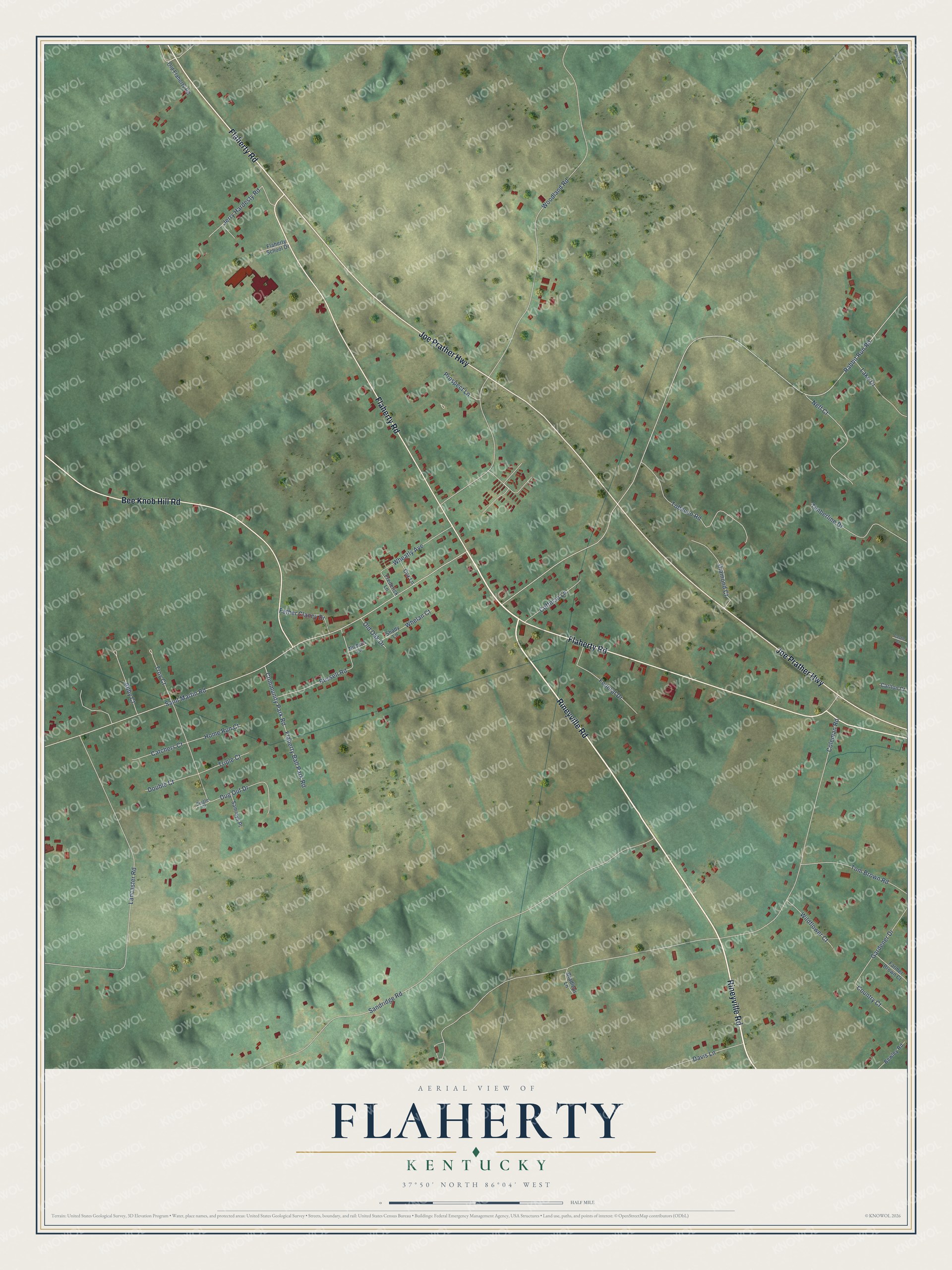
This beautifully detailed map of Flaherty, Kentucky was created in 2026 using aerial imagery combined with modern topographical, census, street and landmark data. It’s a one-of-a-kind view of Flaherty that combines accurate data with a vintage aesthetic. The map shows every building in its true location, many of the roads carry their names, and the shaded topographic relief shows the shape of the land.
Explore an aerial view of Flaherty, Kentucky
On the map you’ll find Flaherty Road, Joe Prather Highway, Rineyville Road, Bee Knob Hill Road, Coleman Road, Rabbit Run Road, Woodland Road, Saint Martin Road, Sandridge Road, Lancaster Road, Dug Out Drive, Tobacco Road, and more. If you look closely you can even find your house accurately drawn in its correct location. Zoom in on the preview to look for yours.
Did You Know?
From Internet Archive: "Miss Nettie Lancaster, of Flaherty, and liiirton Macy. of Vine drove were married at St Martin's church."
Flaherty is a community in Meade County.
Take a closer look at the Flaherty map
Names on this map
These names are printed on this map.
Streets and roads: Flaherty Road, Joe Prather Highway, Rineyville Road, Bee Knob Hill Road, Coleman Road, Rabbit Run Road, Woodland Road, Saint Martin Road, Sandridge Road, Lancaster Road, Dug Out Drive, Tobacco Road.
More street names, A to Z
Abby Court, Bewley Road, Bradleys Lane, Carlton Court, Castle Court, Catchers Court, Coffman Lane, Community Park Road, Country Court, Cox Lane, Davis Lane, Diamond Court, Double Court, Farmer Brown Court, Father Clancy Drive, Federal Drive, Flaherty Ball Park Road, Flaherty School Drive, Frederick Lane, Gardener Drive, Home Run Court, Jerry Hardesty Road, Lake Drive, Neff Court, Nichols Lane, Old Flaherty Road, Old Oak Drive, Prospect Lane, Russell Road, Sammys Place, Shady Lane, Shot Hunt Road, Single Court, Timberline Drive, Tom Brown Road, Triple Court, Troy Court, Wheatly Avenue, Whelan Court, Wildflower Court.
See it on a wall
The Flaherty map as a framed print. Swipe for more.


This beautifully detailed map of Flaherty makes an attractive addition to your office, library, or den, and it can even be used to teach children the geography and history of the area. It also makes a great gift for anyone with Flaherty roots. When you’re done exploring, click here to get your copy of the Flaherty map.