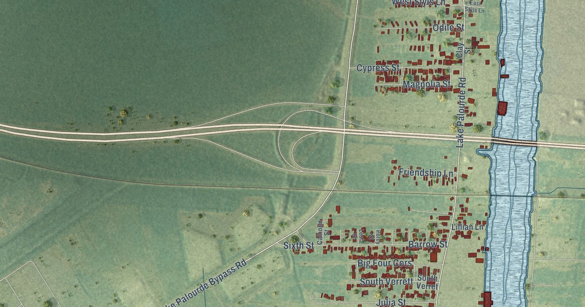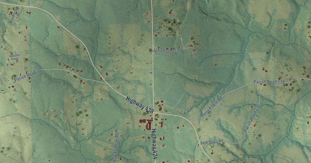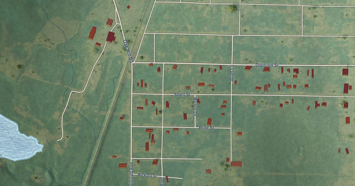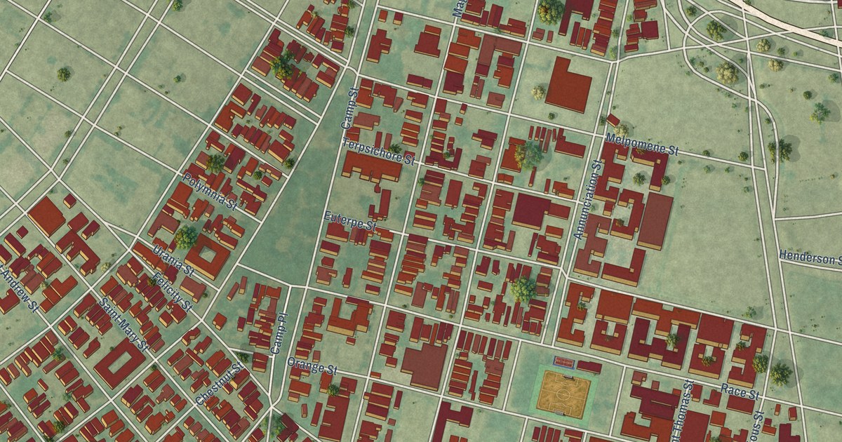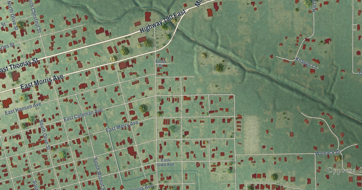
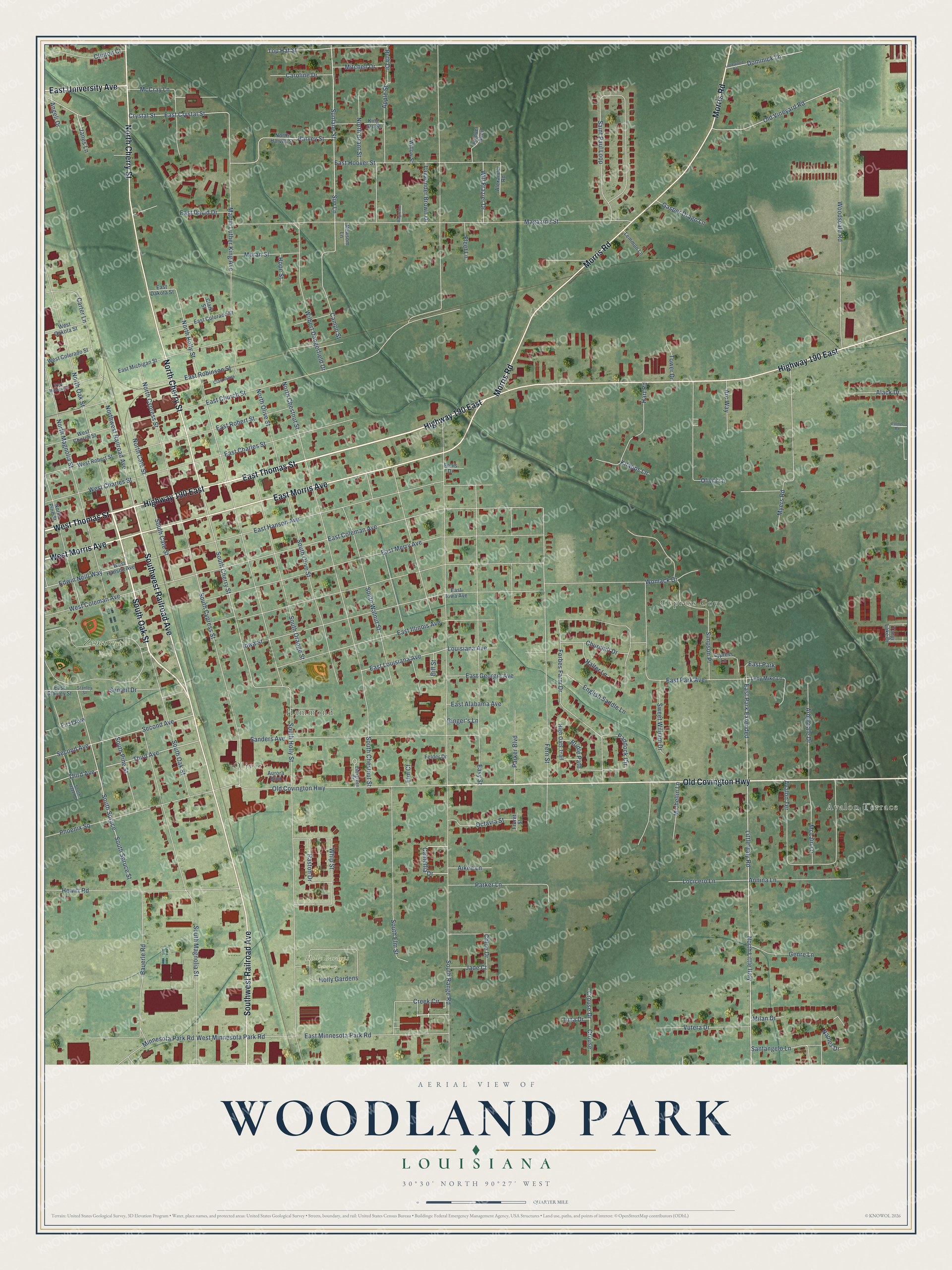
This beautifully detailed map of Woodland Park, Louisiana was created in 2026 using aerial imagery combined with modern topographical, census, street and landmark data. It’s a one-of-a-kind view of Woodland Park that combines accurate data with a vintage aesthetic. The map shows every building in its true location, many of the roads carry their names, and the shaded topographic relief shows the shape of the land.
Explore an aerial view of Woodland Park, Louisiana
On the map you’ll find Oliver, Hammond, Cypress Cove, Holly Gardens Cemetery, and Zemurray Park, along with Avalon Terrace, West Thomas Street, East Thomas Street, South Oak Street, Highway 190 East, Southwest Railroad Avenue, Old Covington Highway, and more. If you look closely you can even find your house accurately drawn in its correct location. Zoom in on the preview to look for yours.
Take a closer look at the Woodland Park map
Names on this map
These names are printed on this map.
Places: Avalon Terrace, Oliver, Hammond, Cypress Cove, Holly Gardens Cemetery, Zemurray Park and East Park.
Streets and roads: West Thomas Street, East Thomas Street, South Oak Street, Highway 190 East, Southwest Railroad Avenue, Old Covington Highway, North Cherry Street, Morris Road, East Morris Avenue, West Morris Avenue, East University Avenue, Little Italy Road.
More street names, A to Z
Aiken Lane, Alack Drive, Alexander Road, Angeli Drive, Annina Lane, Apple Street, Arbordale Drive, Arc Way, Aurora Boulevard, Bauerle Road, Bill Street, Bridle Path, Camellia Drive, Campo Street, Caroline Drive, Carter Lane, Chloe Drive, Churchill Drive, Clark Alley, Clark Street, Clinton Court, Creek Circle, Crouse, Crouse Drive, Crystal Street, Cypress Lane, Dominick Lane, East Alabama Avenue, East Charles Street, East Church Street, East Coleman Avenue, East Colorado Street, East Crystal Street, East Dakota Street, East David Drive, East Georgia Avenue, East Hanson Avenue, East Hoover Street, East Illinois Avenue, East Iowa Avenue, East Louisiana Avenue, East Merry Avenue, East Michigan Street, East Minnesota Park Road, East Park Avenue, East Park Extended, East Robert Street, East Robinson Street, East Stanley Street, Easy Street, Edwin Neill Way, Elm Court, English Saddle Lane, Ennis Drive, Evergreen Drive, Felder Drive, Fern Street, First Avenue, Fleet Lane, Forbes Farm Drive, Freret Street, Gasper Drago Lane, Genre Lane, Ginger's Lane, Halter Lane, Hart Road, Harvey Street, Hewitt Road, High Oats Trail, Holly Gardens, Hoover Alley, Hope Street, Iowa Street, Irma Drive, Jade Court, Janes Lane, King Ard Street, Knapps Lane, Lavannder Brown Drive, Lemmon Lane, Littlewood Road, Locicero Lane, Louisiana Avenue, Lucy Mike Lane, Magazine Lane, Magazine Street, Martin Luther King Avenue, McCray Lane, McLain Lane, Michellin Lane, Milan Drive, Minnesota Park Road, Mitchell Drive, Moran Street, Myers Road, Naples Drive, Newsom Lane, North Cate Street, North Chestnut Street, North Cypress Street, North Grant Street, North Harvey Street, North Holly Street, North Little Italy, North Magnolia Street, North Oak Street, North Olive Street, North Pine Street, Northwest Railroad Avenue, Octavia Street, Old Vineyard Road, Olivia Lane, Paddock Circle, Palmer Road, Parker Boulevard, Parker Lane, Phoenix Square, Raston Drive, Ruth Drive, Saint Paul Loop, Sanders Avenue, Santangelo Lane, Second Avenue, Sentell Drive, Simpson Place, South Cate Street, South Cherry Street, South Chestnut Street, South Cypress Street, South Elm Street, South Hazel Street, South Holly Street, South Magnolia Street, South Olive Street, South Orange Street, South Pine Street, South Range Road, South Spruce, South Spruce Street, South Walnut Street, Stanley Street, Sun Lane, Sunlane Street, Sweet William Drive, Tangi Lake Drive, Third Avenue, Top Hat Street, Tower Drive, Vutera Drive, West Charles Street, West Church Street, West Coleman Avenue, West Colorado Street, West Dakota Street, West Hanson Avenue, West Michigan Street, West Minnesota Park Road, West Robert Street, Whip Street, Wilbert Dangerfield Drive, Will Frazier Drive, Willow Street, Womack Drive, Woodscale Road.
See it on a wall
The Woodland Park map as a framed print. Swipe for more.


This beautifully detailed map of Woodland Park makes an attractive addition to your office, library, or den, and it can even be used to teach children the geography and history of the area. It also makes a great gift for anyone who grew up in Woodland Park or moved away. When you’re done exploring, click here to get your copy of the Woodland Park map.