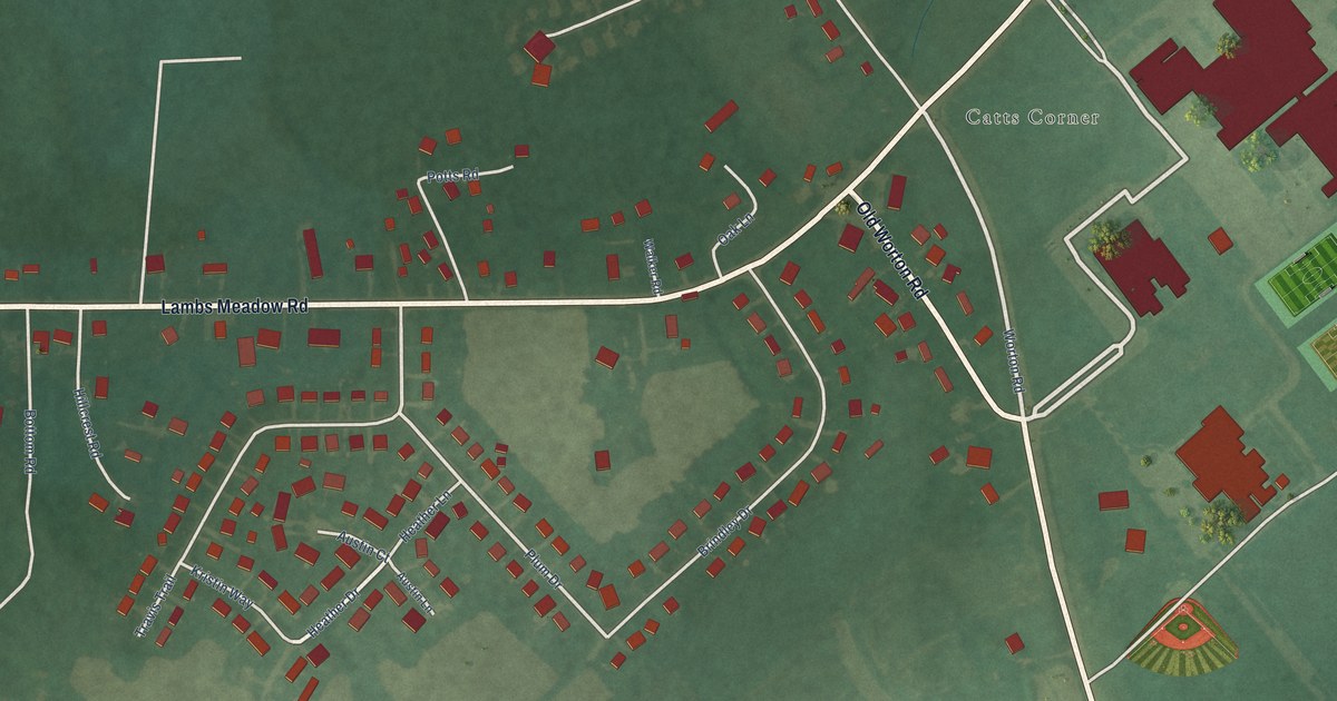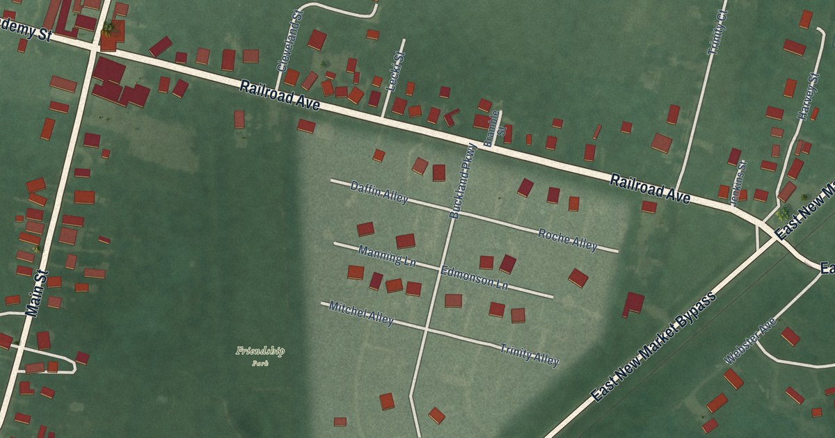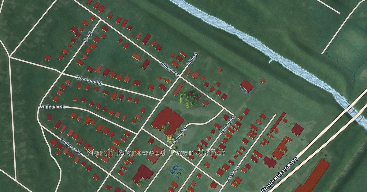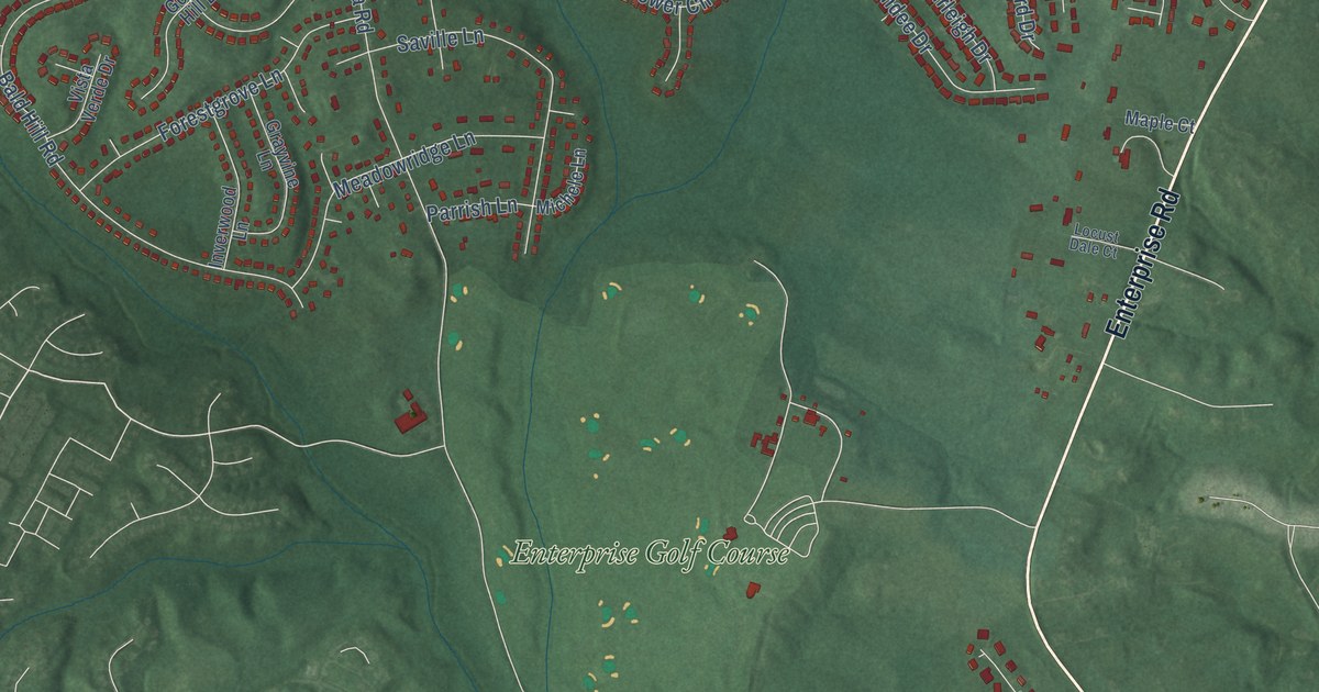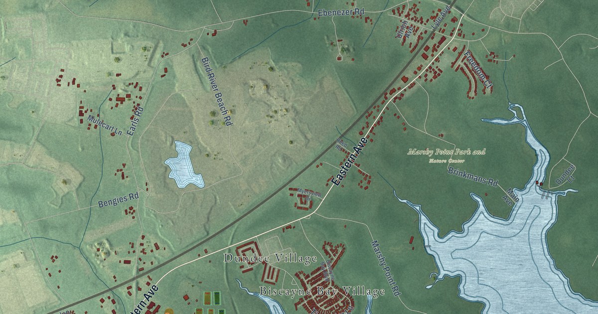
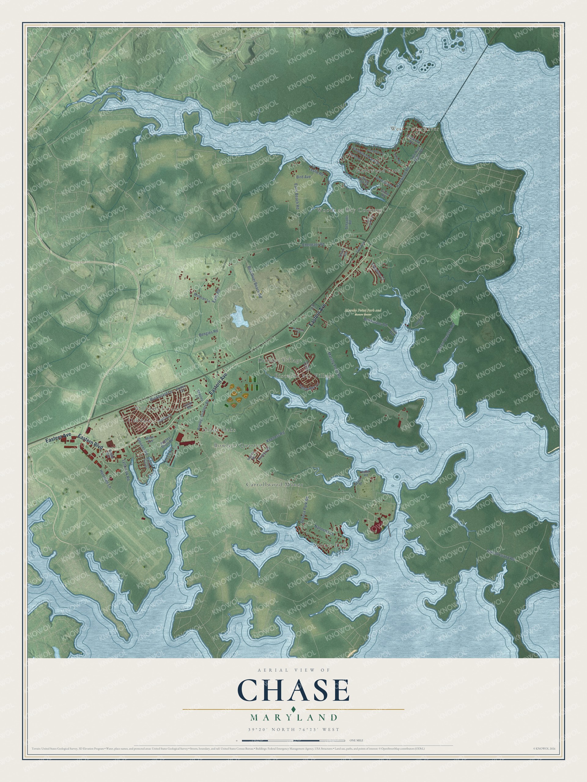
This beautifully detailed map of Chase, Maryland was created in 2026 using aerial imagery combined with modern topographical, census, street and landmark data. It’s a one-of-a-kind view of Chase that combines accurate data with a vintage aesthetic. The map shows every building in its true location, many of the roads carry their names, and the shaded topographic relief shows the shape of the land.
Explore an aerial view of Chase, Maryland
On the map you’ll find West Twin River, Marshy Point Park and Nature Center, Seneca Park, Woods at Bay Country, Oakdale, Biscayne Bay Village, Harewood Park, Bowleys Quarters, Carrollwood Manor, Williams Estates, Dundee Village, Shady Oaks, and more. If you look closely you can even find your house accurately drawn in its correct location. Zoom in on the preview to look for yours.
Take a closer look at the Chase map
Names on this map
These names are printed on this map.
Places: West Twin River, Marshy Point Park and Nature Center, Seneca Park, Woods at Bay Country, Oakdale, Biscayne Bay Village, Harewood Park, Bowleys Quarters, Carrollwood Manor, Williams Estates, Dundee Village and Shady Oaks.
Streets and roads: Eastern Avenue, Eastern Boulevard, Buckboard Lane, Ebenezer Road, Graces Quarters Road, Carroll Island Road, Keeners Road, Earls Road, Marshy Point Road, Bengies Road, Seneca Park Road, Bird River Beach Road.
More street names, A to Z
Asher Road, Beach Drive, Beasley Lane, Bird Avenue, Birdwood Avenue, Biscayne Bay Boulevard, Bowleys Quarters Road, Brinkmans Road, Circle Road, Cornell Road, Dahlia Lane, Dundee Court, Earls Beach Road, Emala Avenue, Freedom Court, Harewood Park Drive, Harewood Road, Hercules Lane, Hughes Shore Road, Issacs Road, Lariat Road, Leslie Road, Lyle Avenue, Lynbrook Road, Main Avenue, Mariners Point Drive, Miller Avenue, Mulecart Lane, Myersview Drive, Nannette Lane, North River Drive, Reed Road, Rodeo Circle, Rustico Road, Sand Dollar Way, Schaadts Road, South River Drive, Stevens Road, Tidewater Lane, Twin River Beach Road, Ulrich Avenue, University Drive, Yale Road.
See it on a wall
The Chase map as a framed print. Swipe for more.


This beautifully detailed map of Chase makes an attractive addition to your office, library, or den, and it can even be used to teach children the geography and history of the area. It also makes a great gift for someone who left Chase and still calls it home. When you’re done exploring, click here to get your copy of the Chase map.