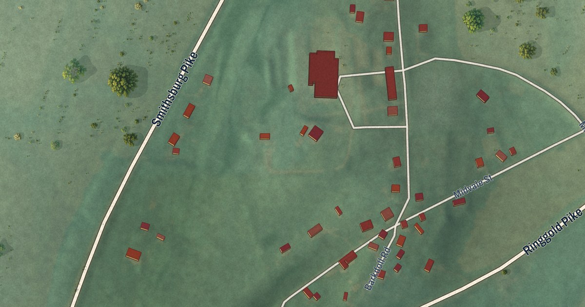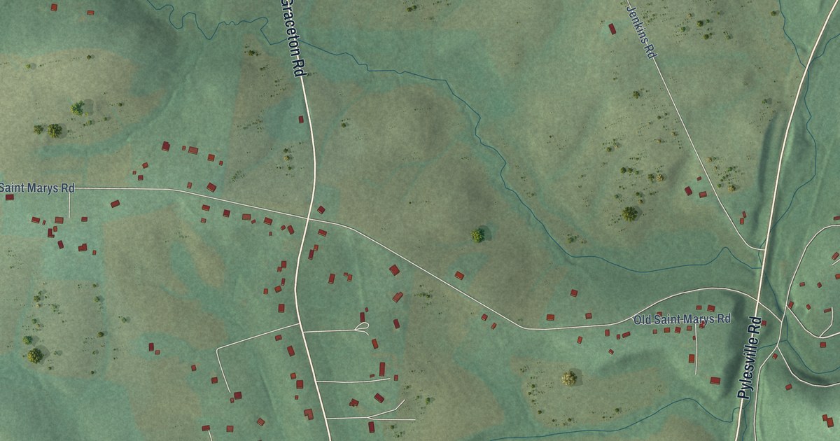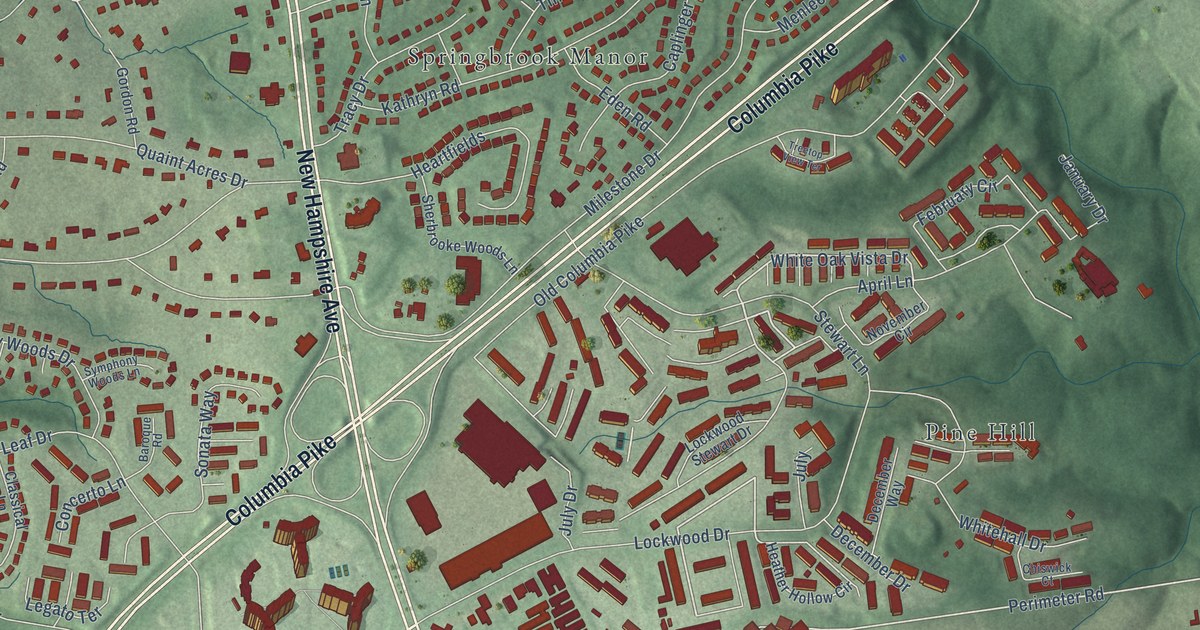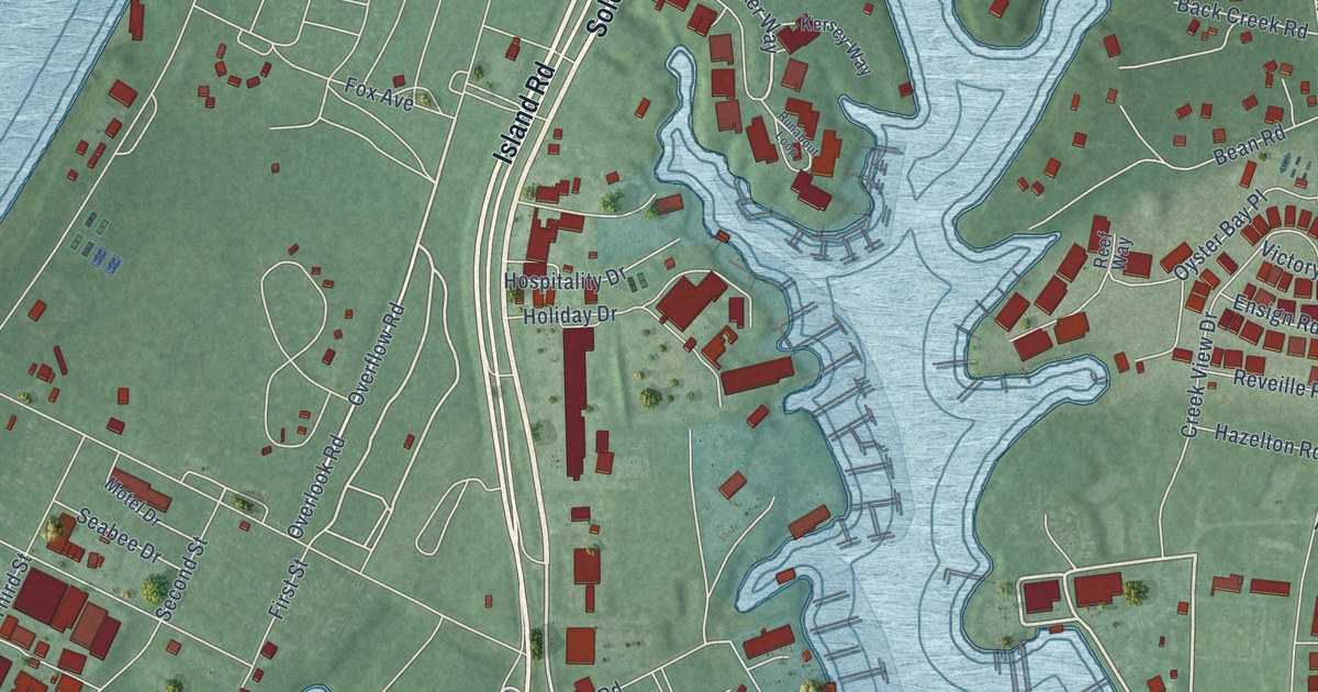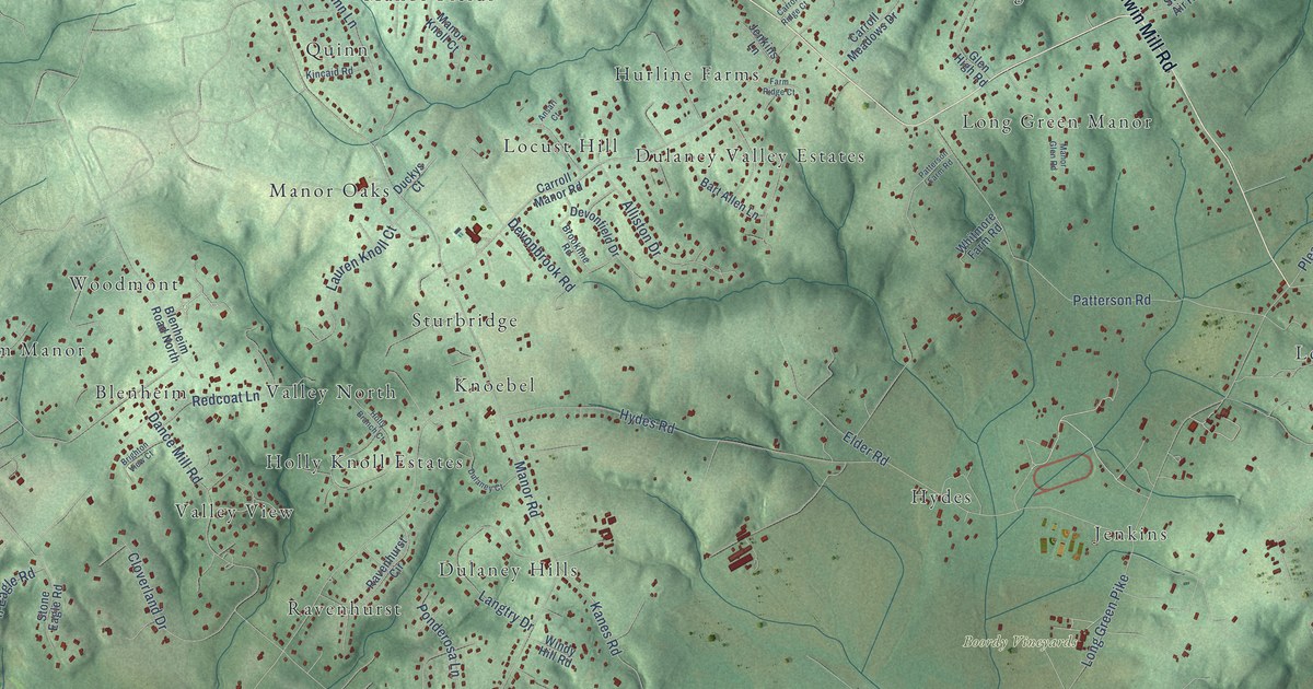
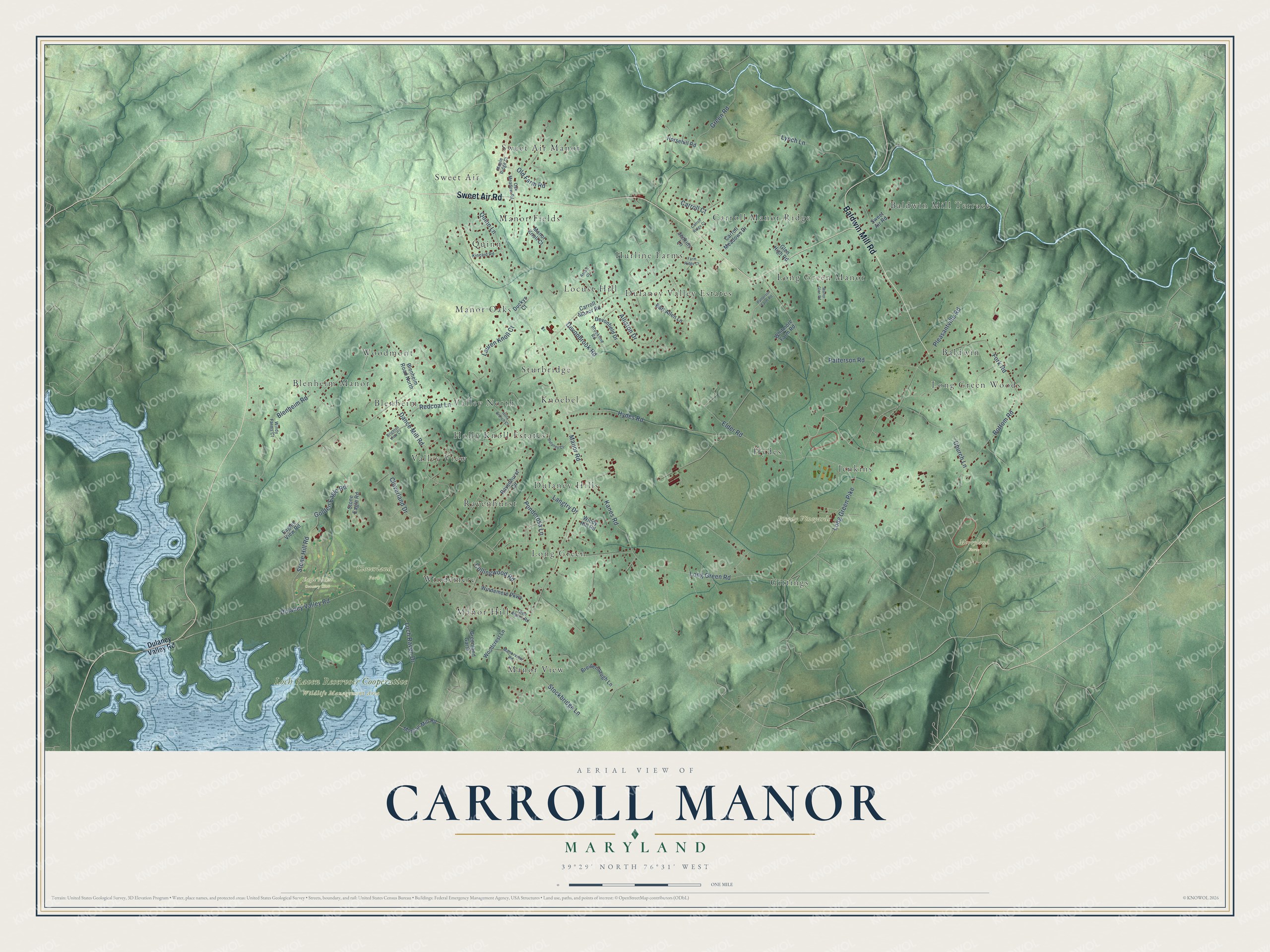
This beautifully detailed map of Carroll Manor, Maryland was created in 2026 using aerial imagery combined with modern topographical, census, street and landmark data. It’s a one-of-a-kind view of Carroll Manor that combines accurate data with a vintage aesthetic. The map shows every building in its true location, many of the roads carry their names, and the shaded topographic relief shows the shape of the land.
Explore an aerial view of Carroll Manor, Maryland
On the map you’ll find Boordy Vineyards, Cloverland Park, Eagle’s Nest Country Club, Loch Raven Reservoir Cooperative Wildlife Management Area, Merryland Farm, Sweet Air Manor, Woodmont, Long Green, Quinn, Long Green Woods, and Dulaney Valley Estates, along with Baldwin Mill Terrace, and more. If you look closely you can even find your house accurately drawn in its correct location. Zoom in on the preview to look for yours.
Take a closer look at the Carroll Manor map
Names on this map
These names are printed on this map.
Places: Boordy Vineyards, Cloverland Park, Eagle's Nest Country Club, Loch Raven Reservoir Cooperative Wildlife Management Area, Merryland Farm, Sweet Air Manor, Woodmont, Baldwin Mill Terrace, Long Green, Quinn, Long Green Woods, Dulaney Valley Estates, Knoebel, Manor View, Long Green Manor, Valley View, Dulaney Hills, Gittings, Jenkins, Carroll Manor Ridge, Manor Oaks, Blenheim Manor, Locust Hill, Hydes, Manor Fields, Windemere, Holly Knoll Estates, Hurline Farms, Blenheim, Sweet Air, Ravenhurst, Valley North, Baldwin, Manor Hill and Sturbridge.
Streets and roads: Sweet Air Road, Baldwin Mill Road, Manor Road, Dulaney Valley Road, Hydes Road, Long Green Road, Long Green Pike, Patterson Road, Blenheim Road, Bottom Road, Lynch Lane, Loch Raven Drive.
More street names, A to Z
Alliston Drive, Ansari Court, Bart Allen Lane, Blenheim Road North, Breidenbaugh Lane, Brighton View Court, Brookline Road, Carroll Court, Carroll Manor Road, Carroll Meadows Drive, Carroll Ridge Court, Church Lane, Cloverland Drive, Collingwood Road, Dance Mill Road, Devonbrook Road, Devonfield Drive, Duckys Court, Dulaney Court, Eagles View Road, Elder Road, Farm Ridge Court, Fork Road, Glen Alpine Road, Glen High Road, Golden Eagle Road, Greenland Garth, Green Road, Holly Branch Court, Horsehill Road, Jenkins Lane, Kanes Road, Kincaid Road, Langtry Drive, Lauren Knoll Court, Manor Glen Road, Manor Knoll Court, Manorview Road, Maple Ridge Court, Morgan Mill Road, Oak Meadow Road, Old Farm Road, Patterson Farm Road, Pleasantville Road, Ponderosa Lane, Quinn Lane, Ravenhurst Circle, Redcoat Lane, Stockbridge Lane, Stone Eagle Road, Stone Hill Road, Whitmore Farm Road, Windemere Parkway, Windy Farms Court, Windy Hill Road, Woodcrest Lane.
See it on a wall
The Carroll Manor map as a framed print. Swipe for more.


This beautifully detailed map of Carroll Manor makes an attractive addition to your office, library, or den, and it can even be used to teach children the geography and history of the area. It also makes a great gift for anyone with Carroll Manor roots. When you’re done exploring, click here to get your copy of the Carroll Manor map.