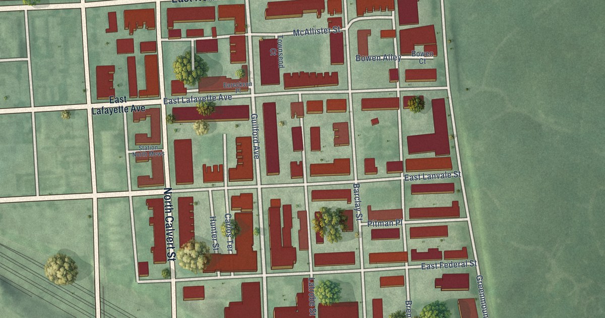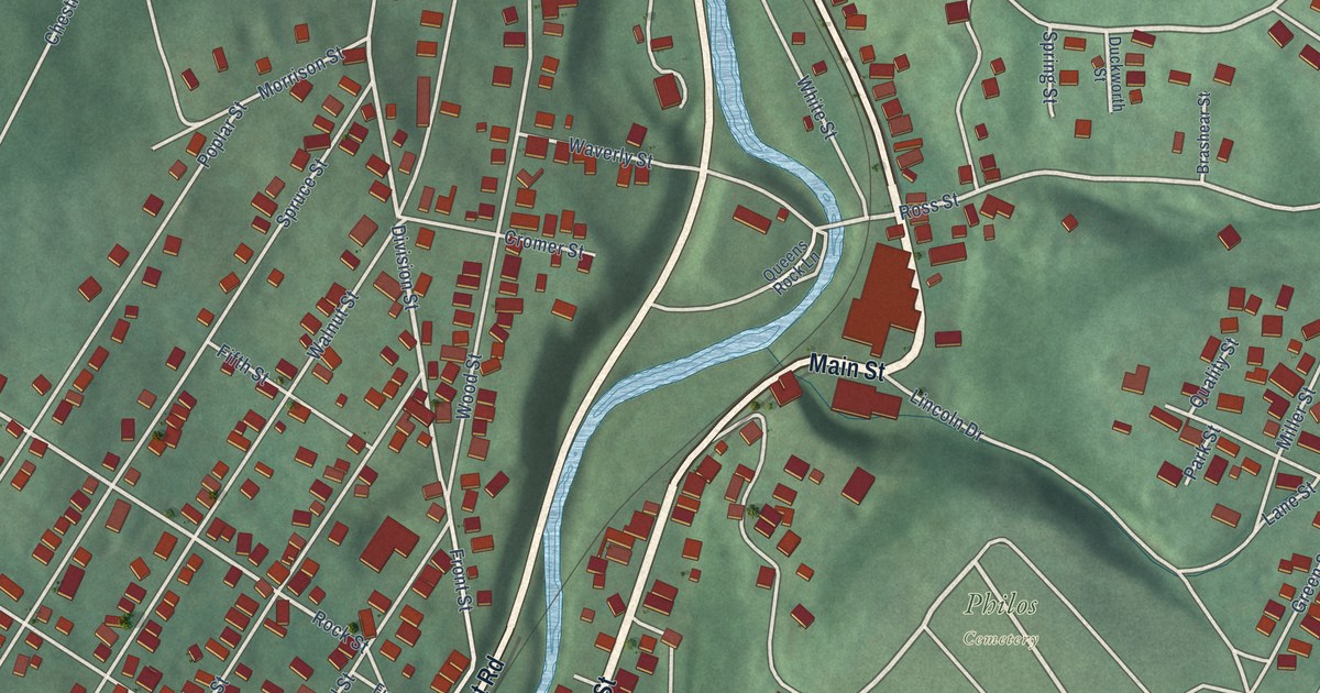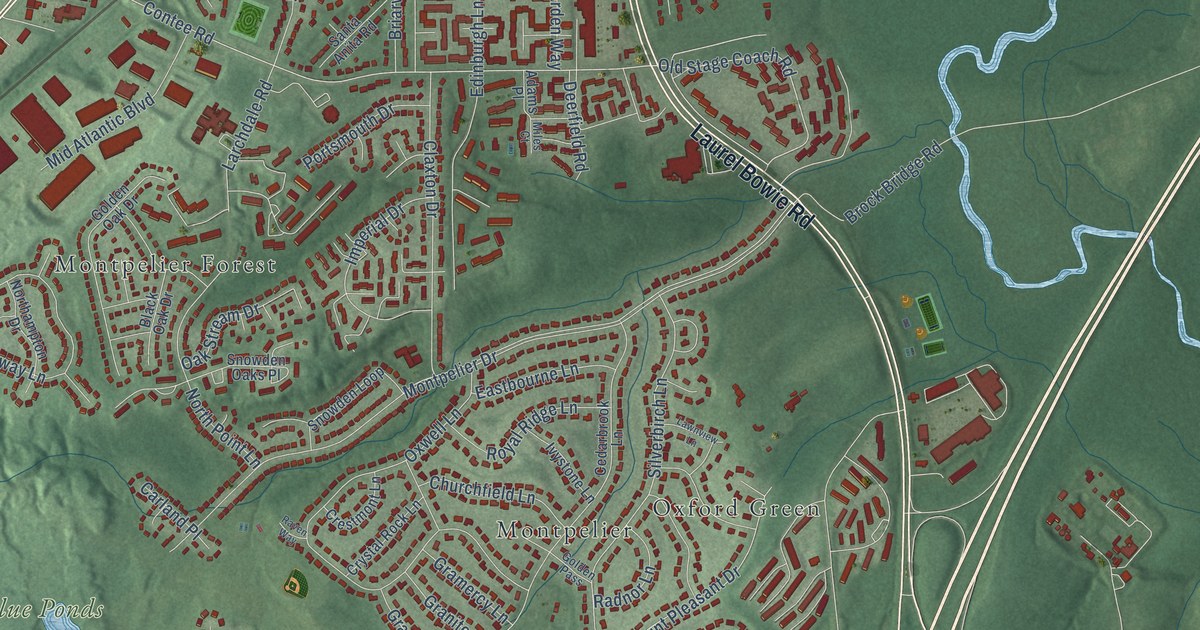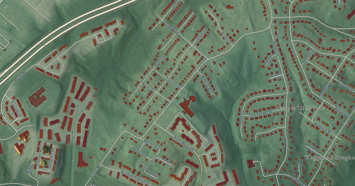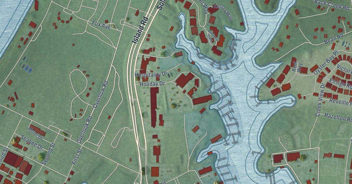
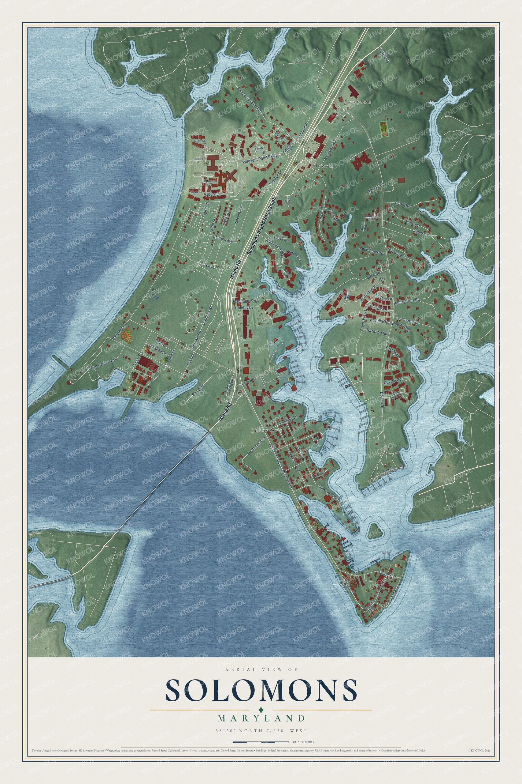
This beautifully detailed map of Solomons, Maryland was created in 2026 using aerial imagery combined with modern topographical, census, street and landmark data. It's a modern aerial view of Solomons in Calvert County, Maryland, that combines modern data with a vintage aesthetic. The roads feature printed names, and if you look closely you can find your exact house accurately shown in its correct location.
Explore an aerial view of Solomons, Maryland
On this map you'll find Dowell, Johnstown, Newtown, Solomons Island Road South, Island Road, Overlook Road, Overflow Road, Patuxent Street, Spinnaker Way, Asbury Circle, Swaggers Point Road, Dowell Road, and more. Each red shape is a building, so zoom in on the preview and look for yours.
Solomons is a community in Calvert County. The Census Bureau counted 2,650 people here in 2020. Solomons sits about 2 miles northwest of Drum Point, 2 miles southwest of Lusby and 3 miles southwest of Chesapeake Ranch Estates. The map prints the town name in its title panel, with the coordinates below it.
Take a closer look at the Solomons map
Names on this map
These names are printed on this map.
Places: Dowell, Johnstown and Newtown.
Streets and roads: Solomons Island Road South, Island Road, Overlook Road, Overflow Road, Patuxent Street, Spinnaker Way, Asbury Circle, Swaggers Point Road, Dowell Road, Patuxent Drive, Patuxent Point Parkway, Newtown Road.
More street names, A to Z
Aldersgate Court, Alexander Street, Appel Lane, Back Creek Loop, Back Creek Road, Bean Road, Belle Field Road, Calvert Marina Pier, Calvert Street, Charles Avenue, Charles Street, Clipper Circle, Creek View Drive, Creston Lane, Curtis Road, Danielle's Way, Ensign Road, Epworth Court, Farran Avenue, Fifth Street, First Street, Fourth Street, Fox Avenue, Foxhall Road, Gideon Lane, Hamit Road, Hazelton Road, Hg Trueman Road, Holiday Drive, Hospitality Drive, Hutchins Road, Kersey Way, Langley Lane, Lore Pines Lane, Lore Road, Motel Drive, Osprey Lane, Otterbein Court, Oyster Bay Place, Patuxent Avenue, Pelagic Lane, Pier 66, Point Lane, Point Patience Drive, Ramp Road, Reef Way, Reveille Road, Rolling Hills Road, Runabout Loop, Ruxton Road, Sammys Place, Schooner Loop, Seabee Drive, Second Street, Sedwick Avenue, Seventh Street, Sixth Street, Strathmore Lane, Swaggers Point, Third Street, Thomas Johnson Road, Twin Cove Lane, Victory Lane, Wards Road, Wesley Court, Williams Street, Windrush Court.
See it on a wall
The Solomons map as a framed print. Swipe for more.


Created by KNOWOL in 2026. The buildings are small red shapes, the roads carry their printed names, and shaded relief shows the shape of the land. The title panel reads "AERIAL VIEW OF SOLOMONS, MARYLAND" with 38°20' NORTH 76°28' WEST.
It looks right in a kitchen, an office or a den, and it's a gift for anyone who grew up in Solomons or moved away. Open the preview and find your street. See sizes and frames for the Solomons map.