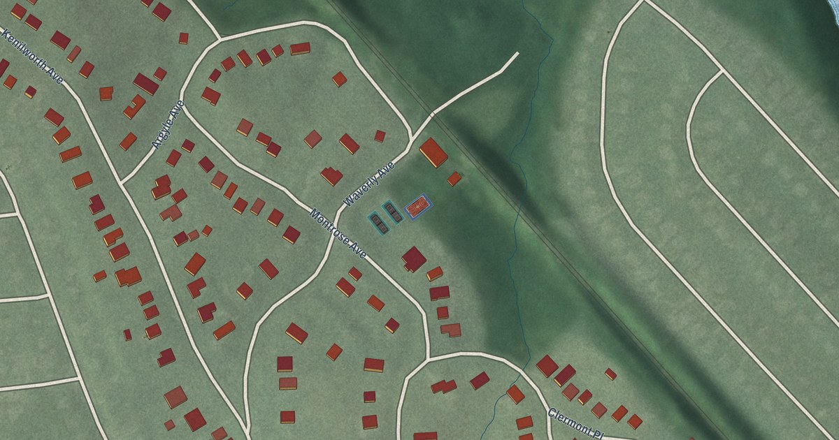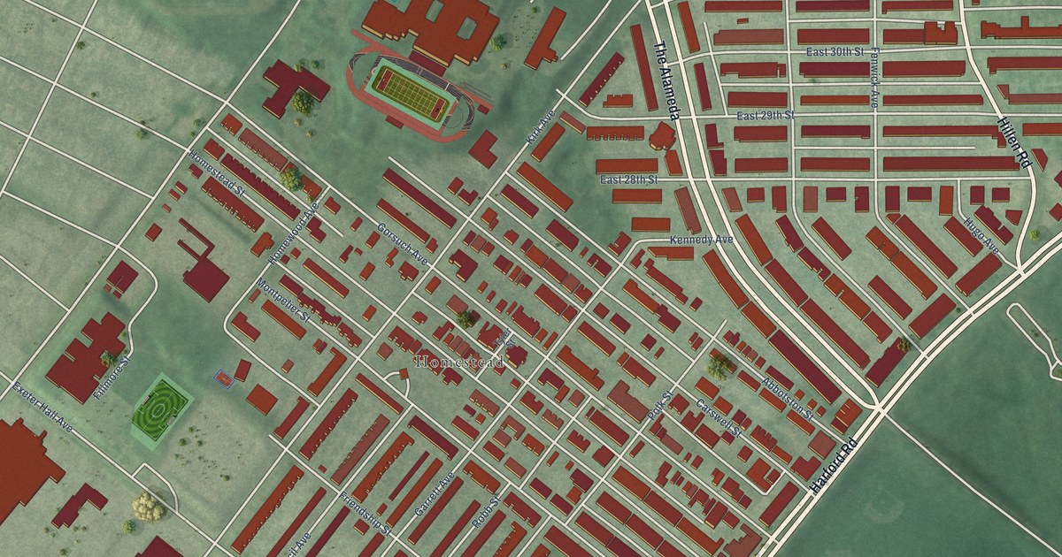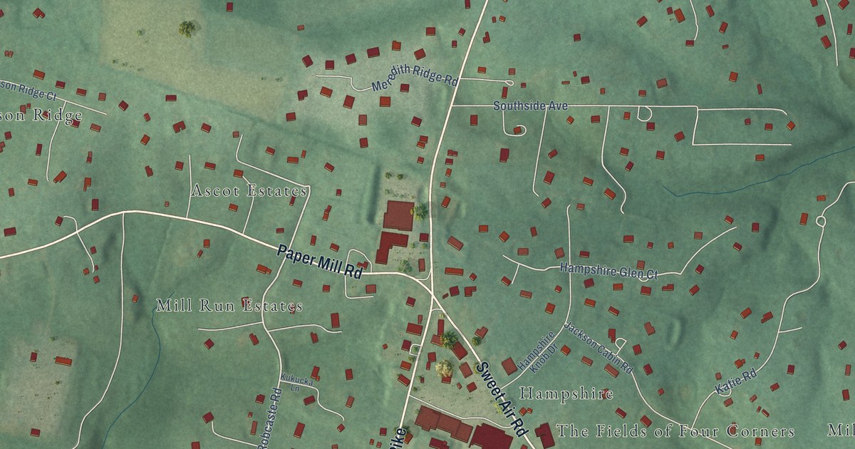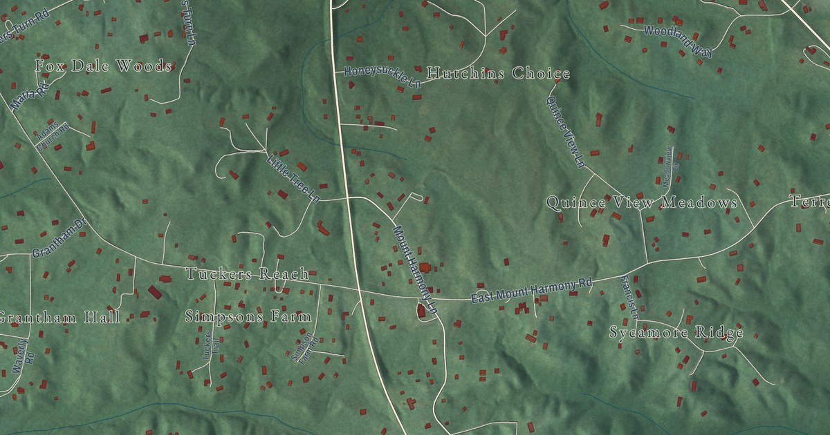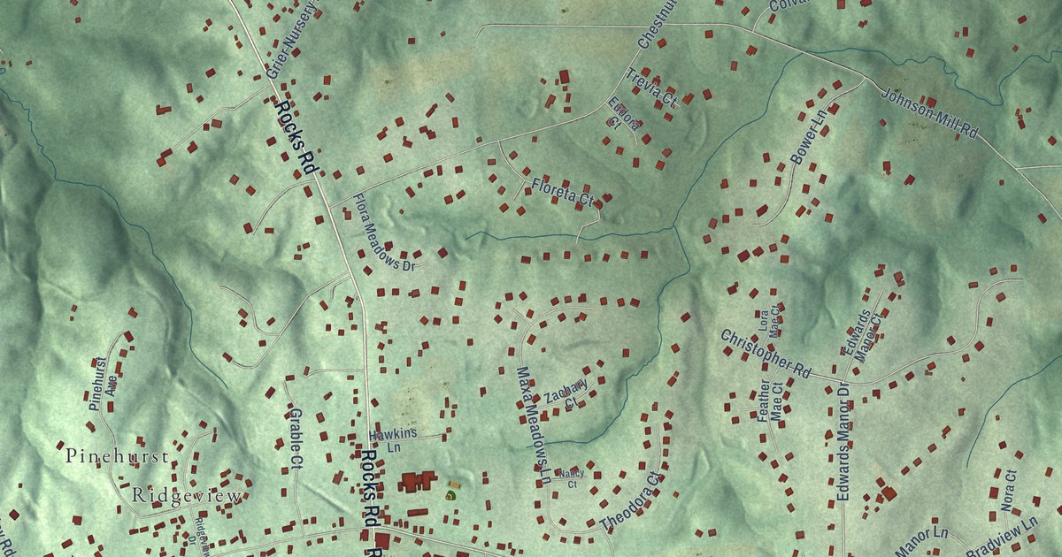
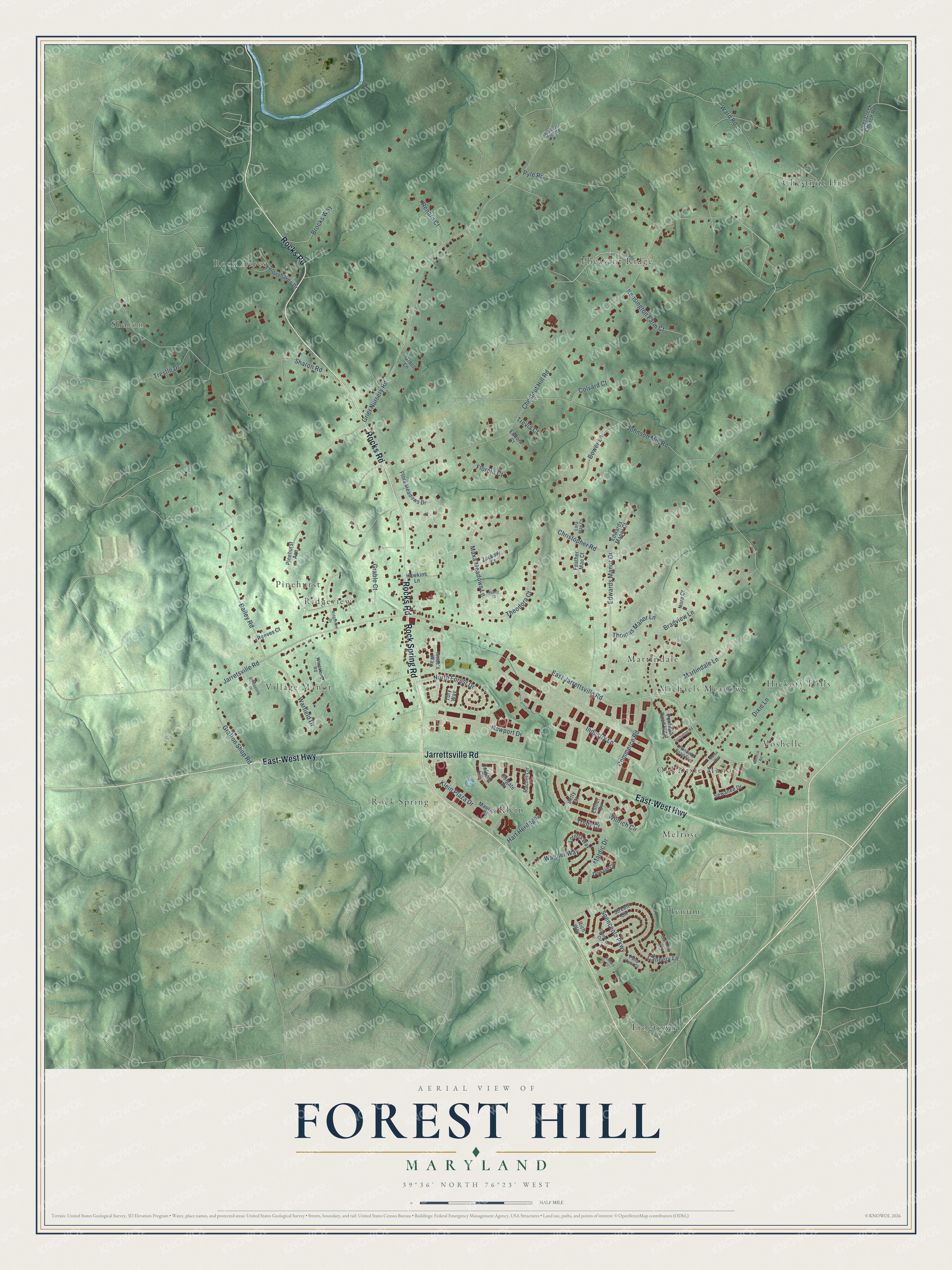
This beautifully detailed map of Forest Hill, Maryland was created in 2026 using aerial imagery combined with modern topographical, census, street and landmark data. It’s a one-of-a-kind view of Forest Hill that combines accurate data with a vintage aesthetic. The map shows every building in its true location, many of the roads carry their names, and the shaded topographic relief shows the shape of the land.
Explore an aerial view of Forest Hill, Maryland
On the map you’ll find Hickory Hills, Chestnut Hill, Frogtown, Sharon, Village Manor, Melrose, Pheasant Ridge, Rock Acres, Klein, Pinehurst, Martindale, Bynum, and more. If you look closely you can even find your house accurately drawn in its correct location. Zoom in on the preview to look for yours.
Take a closer look at the Forest Hill map
Names on this map
These names are printed on this map.
Places: Hickory Hills, Chestnut Hill, Frogtown, Sharon, Village Manor, Melrose, Pheasant Ridge, Rock Acres, Klein, Pinehurst, Martindale, Bynum, Old Dixie Manor, Voshelle, Rock Spring, Michaels Meadows and Ridgeview.
Streets and roads: Rocks Road, East-West Highway, Rock Spring Road, Jarrettsville Road, East Jarrettsville Road, Edwards Manor Drive, Warfield Drive, Chestnut Hill Road, Johnson Mill Road, Grier Nursery Road, Sharon Road, Bailey Road.
More street names, A to Z
Betty Court, Bower Lane, Bradview Lane, Brocks Way, Cannery Court, Cannery Lane, Carya Way, Christopher Road, Colgate Circle, Colgate Drive, Colvard Court, Commerce Road, Deer Creek Church Road, Dixie Lane, Donald Circle, Edwards Manor Court, Esther Drive, Eudora Court, Feather Mae Court, Flora Meadows Drive, Floreta Court, Grable Court, Grafton Shop Road, Gross Lane, Hart Heritage, Hawkins Lane, Industry Lane, Issac's Way, Jarretsville Road, Kensington Farm Court, Kimary Court, Klein Plaza Drive, Lora Mae Court, Loretta Way, Mardic Drive, Martindale Lane, Maurice Drive, Maxa Meadows Lane, Minnick Road, Nancy Court, Newport Drive, Nora Court, North Forest Drive, Pinehurst Avenue, Pond View Court, Ponfield Road East, Ponfield Road West, Pyle Road, Rachel Circle, Reeves Court, Renard Court, Rich Way, Ridgeview Drive, Sewanee Drive, Spenceola Parkway, Spencer Circle, Stonehaven Drive, Streett Circle, Theodora Court, Thomas Manor Lane, Tory Way, Trestle Drive, Trevia Court, Trudy Court, Tuchahoe Road, Wagner Way, Walters Mill Road, Ward Road, Whetstone Road, Whispering Drive, Willrich Circle, Zachary Court.
See it on a wall
The Forest Hill map as a framed print. Swipe for more.


This beautifully detailed map of Forest Hill makes an attractive addition to your office, library, or den, and it can even be used to teach children the geography and history of the area. It also makes a great gift for anyone with Forest Hill roots. When you’re done exploring, click here to get your copy of the Forest Hill map.