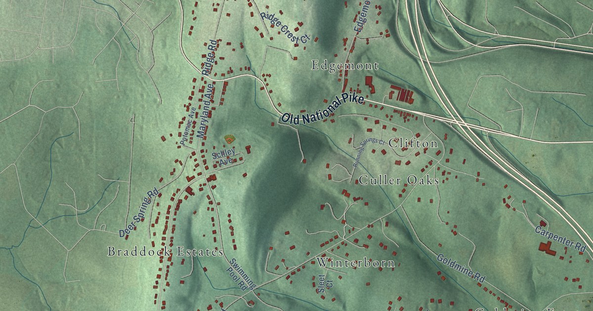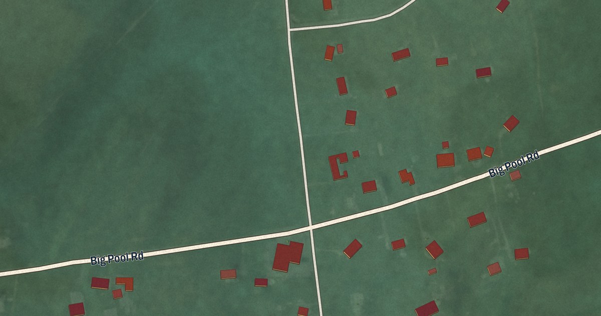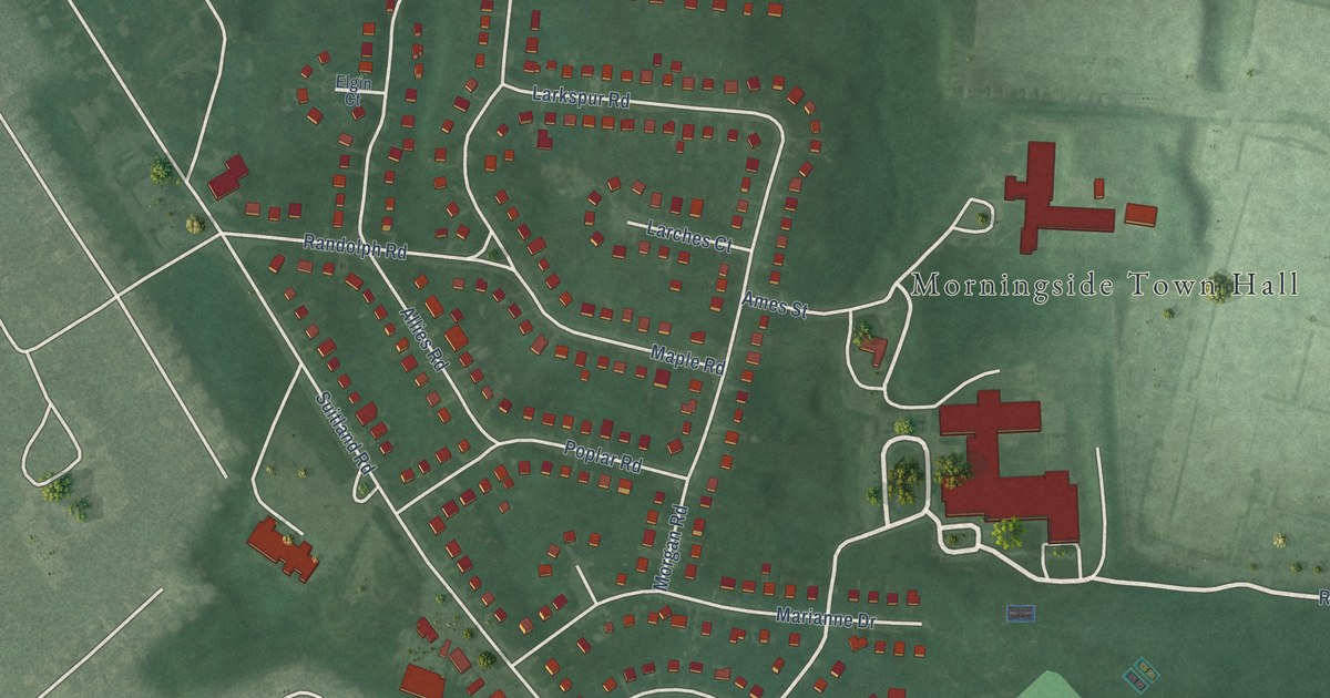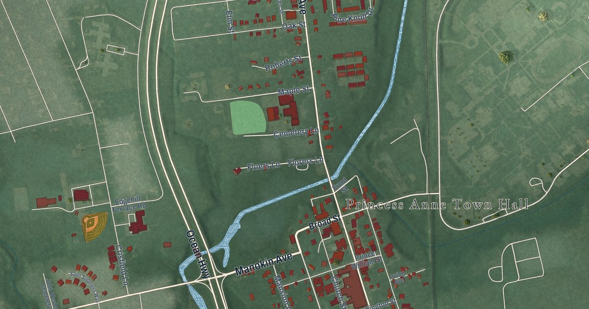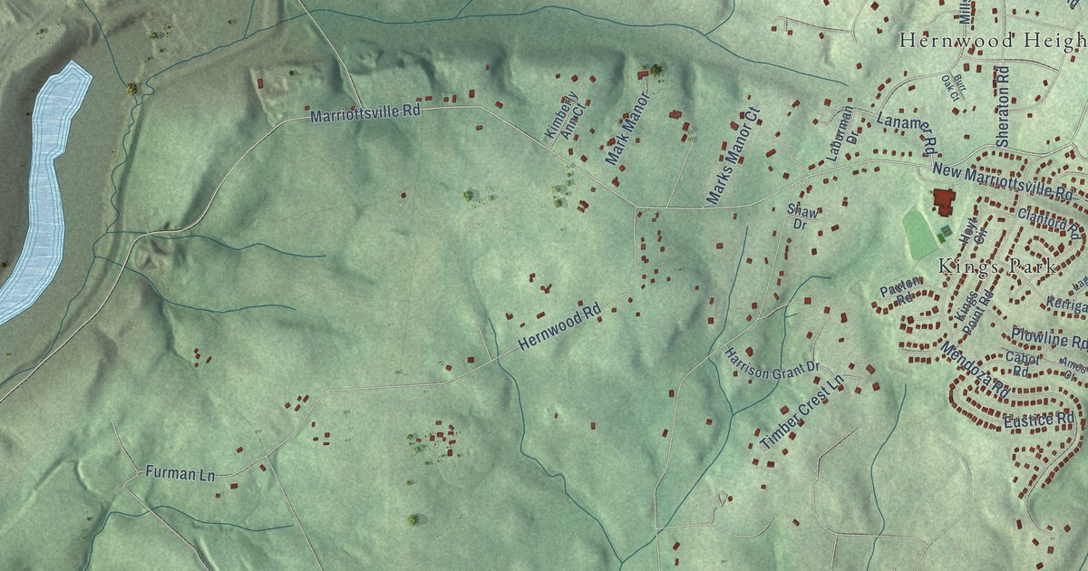
This beautifully detailed map of Hernwood, Maryland was created in 2026 using aerial imagery combined with modern topographical, census, street and landmark data. It’s a one-of-a-kind view of Hernwood that combines accurate data with a vintage aesthetic. The map shows every building in its true location, many of the roads carry their names, and the shaded topographic relief shows the shape of the land.
Explore an aerial view of Hernwood, Maryland
On the map you’ll find Patapsco Valley State Park Woodstock Area, Harrisonville, Fields of Harvest, Kings Park, Holbrook, Granite, and Hernwood Heights, along with Liberty Road, Marriottsville Road, Lanamer Road, Hernwood Road, Wards Chapel Road, and more. If you look closely you can even find your house accurately drawn in its correct location. Zoom in on the preview to look for yours.
Take a closer look at the Hernwood map
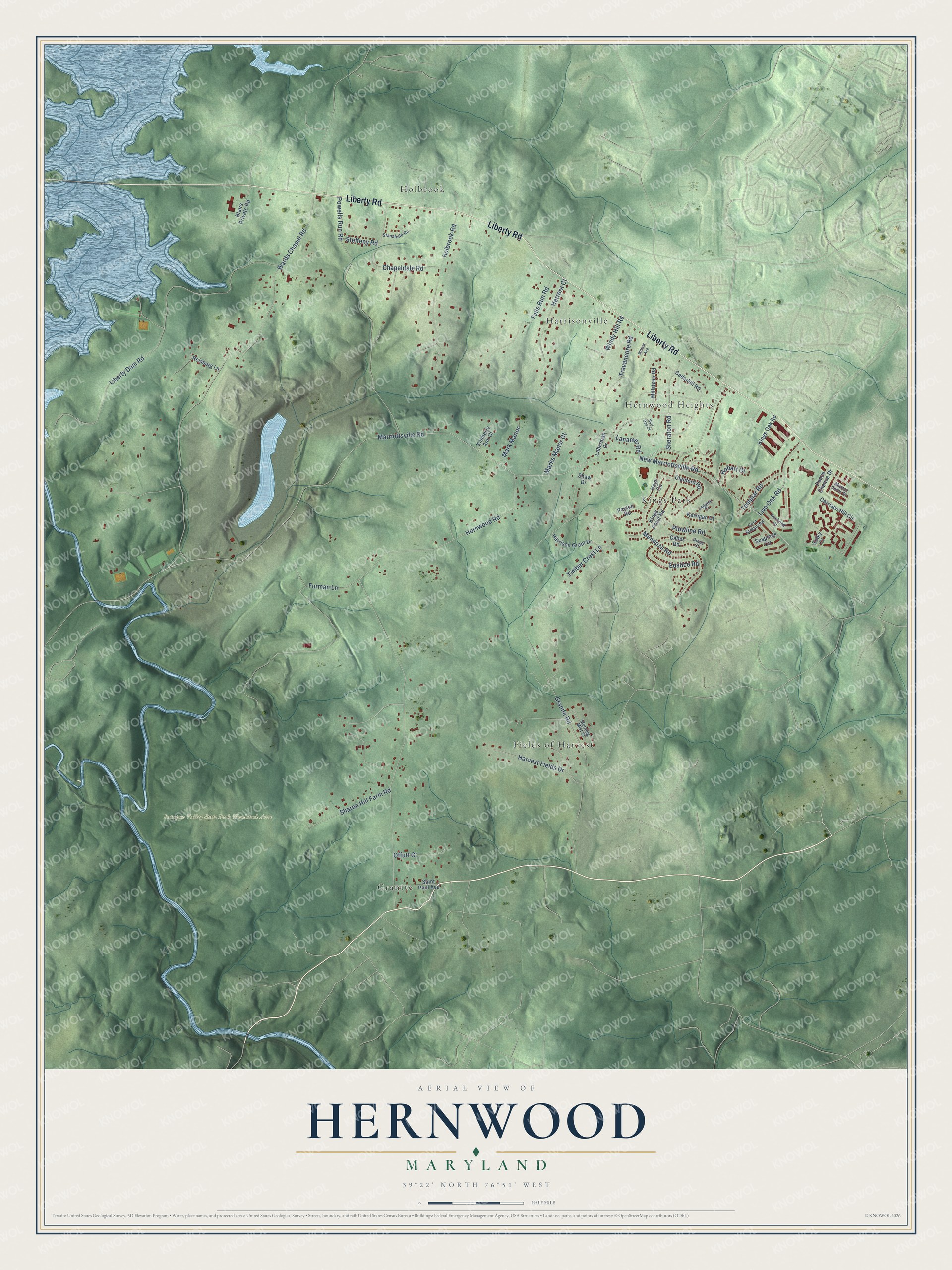
Names on this map
These names are printed on this map.
Places: Patapsco Valley State Park Woodstock Area, Harrisonville, Fields of Harvest, Kings Park, Holbrook, Granite and Hernwood Heights.
Streets and roads: Liberty Road, Marriottsville Road, Lanamer Road, Hernwood Road, Wards Chapel Road, Granite Road, Liberty Dam Road, Furman Lane, Powells Run Road, New Marriottsville Road, Holbrook Road, Mendoza Road.
More street names, A to Z
Ames Court, Axehead Court, Blairs Private Road, Burr Oak Court, Cabot Road, Carriage Hill Circle, Cedarhill Road, Chapeldale Road, Clanford Road, Corn Stream Road, Eustice Road, Falls Run Road, Harrison Grant Drive, Harvest Fields Drive, Herrera Court, Hobart Court, Hoyt Circle, Kerrigan Court, Kimberly Ann Court, Kings Oak Road, Kings Point Road, Laburman Drive, Laguna Court, Live Oak Road, Mark Manor, Marks Manor Court, Master Derby Drive, Millstone Road, Morning Mist Court, Offutt Court, Paxton Road, Peace Chance Drive, Plowline Road, Reisberg Lane, Saint Paul Avenue, Seapines Circle, Sharon Hill Farm Road, Shaw Drive, Sheraton Road, Stansfield Road, Steffeny Road, Sulky Court, Templar Road, Timber Crest Lane, Travancore Road, Wilmar Avenue, Windy Hill Road.
See it on a wall
The Hernwood map as a framed print. Swipe for more.


This beautifully detailed map of Hernwood makes an attractive addition to your office, library, or den, and it can even be used to teach children the geography and history of the area. It also makes a great gift for anyone who grew up in Hernwood or moved away. When you’re done exploring, click here to get your copy of the Hernwood map.