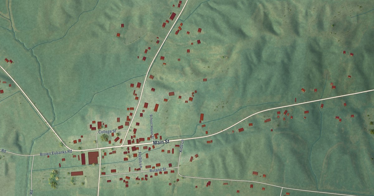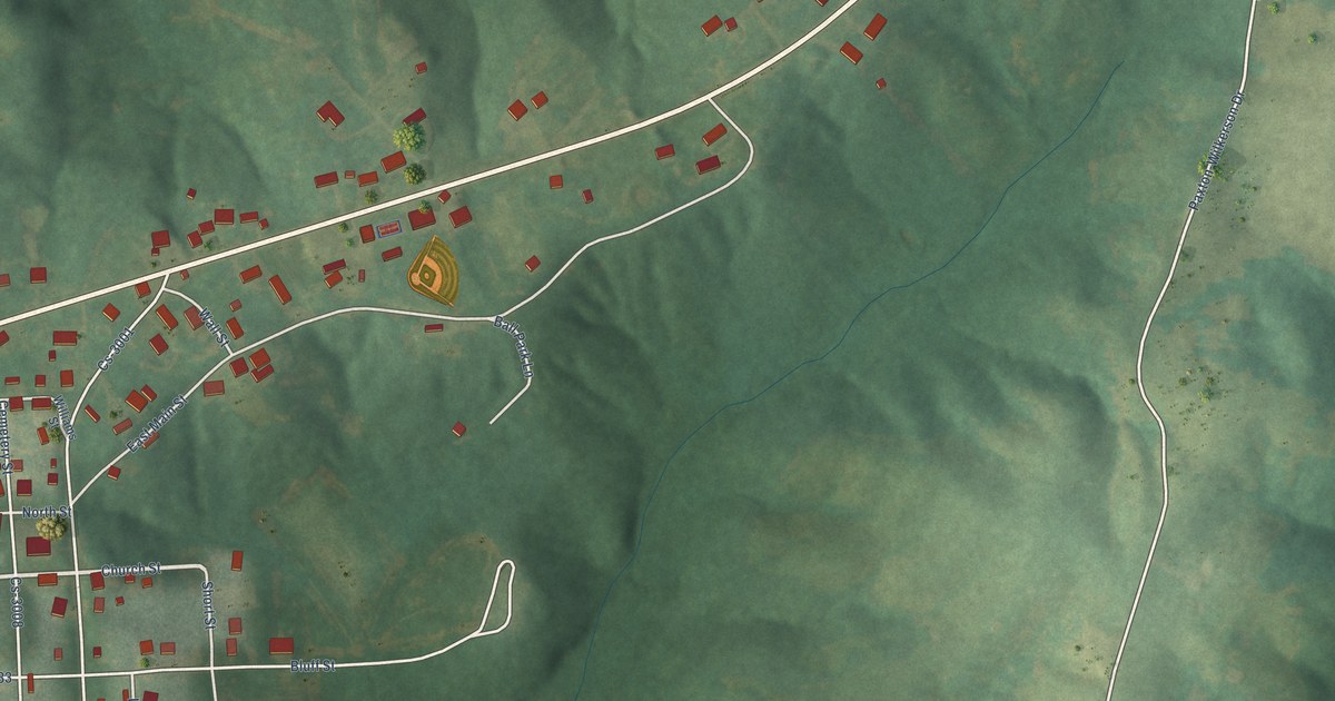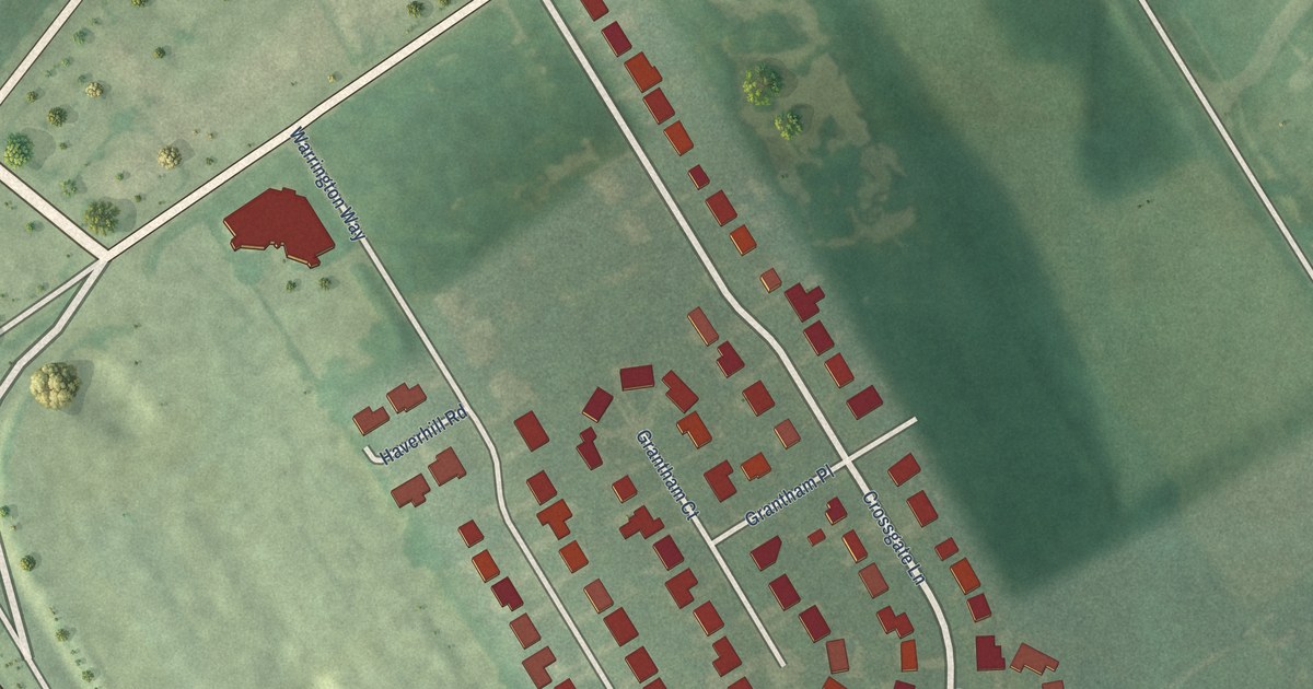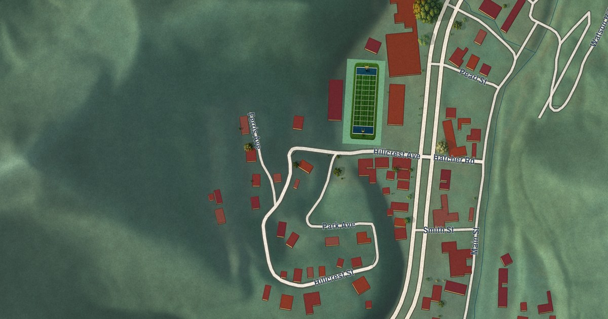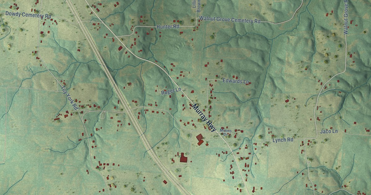
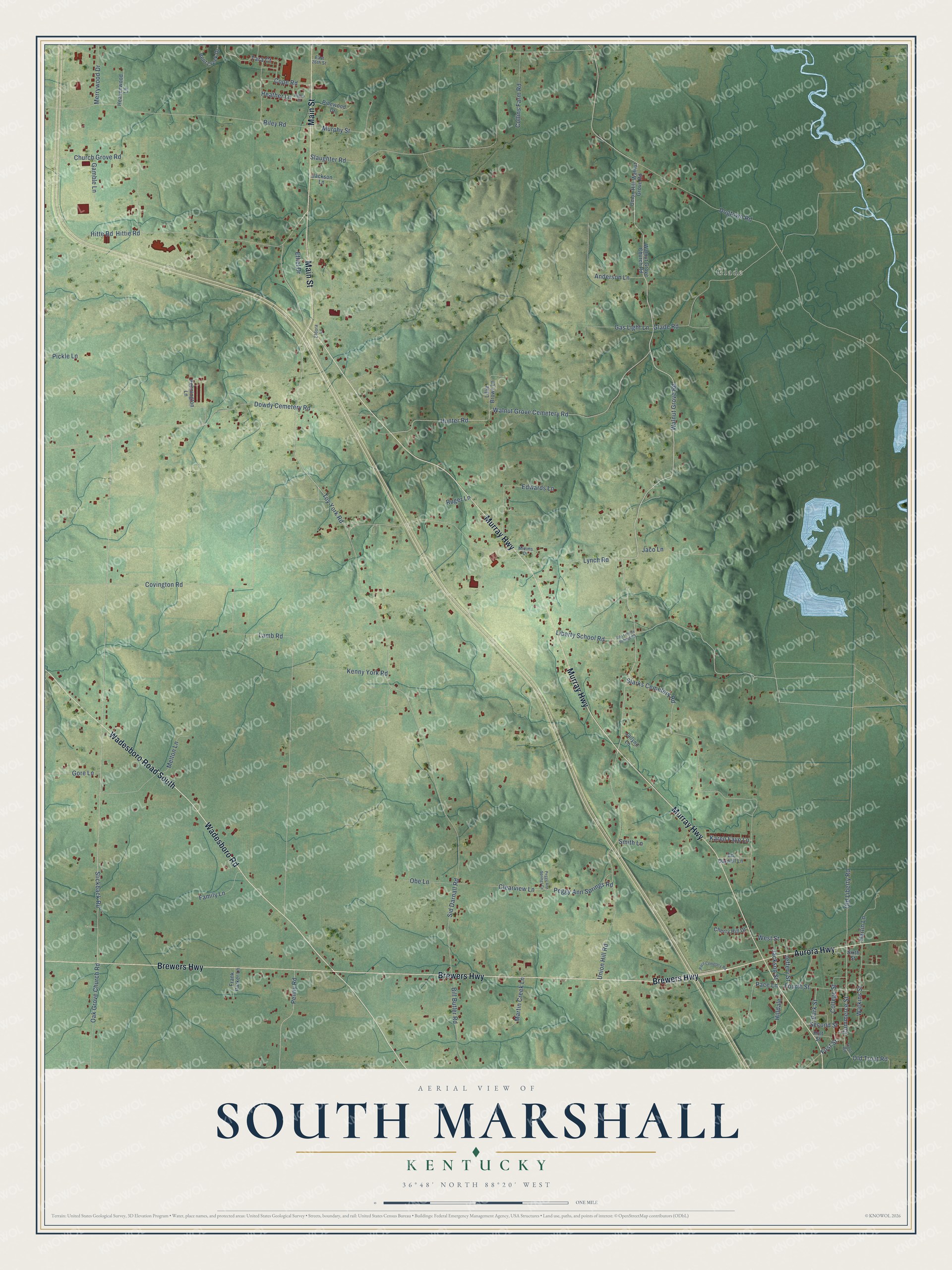
This beautifully detailed map of South Marshall, Kentucky was created in 2026 using aerial imagery combined with modern topographical, census, street and landmark data. It’s a one-of-a-kind view of South Marshall that combines accurate data with a vintage aesthetic. The map shows every building in its true location, many of the roads carry their names, and the shaded topographic relief shows the shape of the land.
Explore an aerial view of South Marshall, Kentucky
On the map you’ll find Glade, along with Brewers Highway, Murray Highway, Wadesboro Road South, Wadesboro Road, Main Street, Aurora Highway, Walnut Grove Road, Liberty School Road, Commerce Street, Old Liberty Road, First Street, and more. If you look closely you can even find your house accurately drawn in its correct location. Zoom in on the preview to look for yours.
Take a closer look at the South Marshall map
Names on this map
These names are printed on this map.
Places: Glade.
Streets and roads: Brewers Highway, Murray Highway, Wadesboro Road South, Wadesboro Road, Main Street, Aurora Highway, Walnut Grove Road, Liberty School Road, Commerce Street, Old Liberty Road, First Street, Sid Darnall Road.
More street names, A to Z
Anderson Lane, Bent Creek Drive, Bill Butler Road, Cherry Hill Drive, Church Grove Road, Clearview Lane, College Street, Collins Farm Road, Cope Road, Covington Road, Dogtown Road, Dowdy Cemetery Road, East 26th Street, Ed Darnall Lane, Edwards Lane, Eldora Lane, Ethel Drive, Family Lane, Fourth Street, Frank Parker Lane, Gamble Lane, Gas Light Lane, Glade Road, Gore Lane, Harlin Lane, Heather Lane, Heavenwood Lane, Hilldale, Hitte Road, Hittie Road, Holt Street, Hunter Road, Jackson Lane, Jackson Street, Jaco Lane, Jailynn Lane, Jeffery Street, Karen Faye Lane, Kenny York Road, Lamb Road, Lillie Brown Lane, Lynch Road, Martin Creek Lane, Melton Lane, Merrywood Drive, Mimms Drive, Murphy Street, Oak Grove Church Road, Obe Lane, Old Liberty School Road, Old Trout Road, Pace Cemetery Road, Pace Lane, Park Street, Peggy Ann Springs Cv, Peggy Ann Springs Road, Pennington Lane, Penny Road, Pickle Lane, Pinewood Drive, Riley Road, Robyn Drive, Ruger Lane, Second Street, Sixth Street, Slaughter Road, Slickback Road, Smith Lane, Starks Cemetery Road, Tara Court, Toy York Road, Trout Road, Union Hill-Walnut Grove Road, Union Hill Road, Walnut Grove Cemetery Road, Walnut Grove Church Road, Watkins Street, West Street.
See it on a wall
The South Marshall map as a framed print. Swipe for more.


This beautifully detailed map of South Marshall makes an attractive addition to your office, library, or den, and it can even be used to teach children the geography and history of the area. It also makes a great gift for anyone who grew up in South Marshall or moved away. When you’re done exploring, click here to get your copy of the South Marshall map.