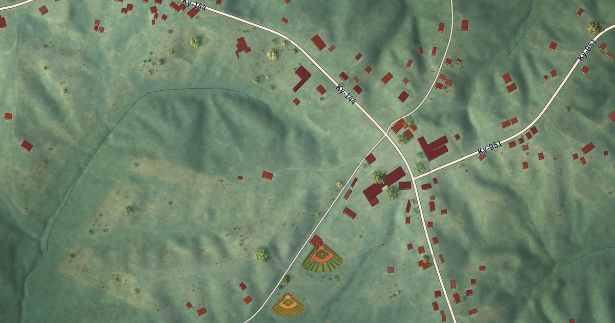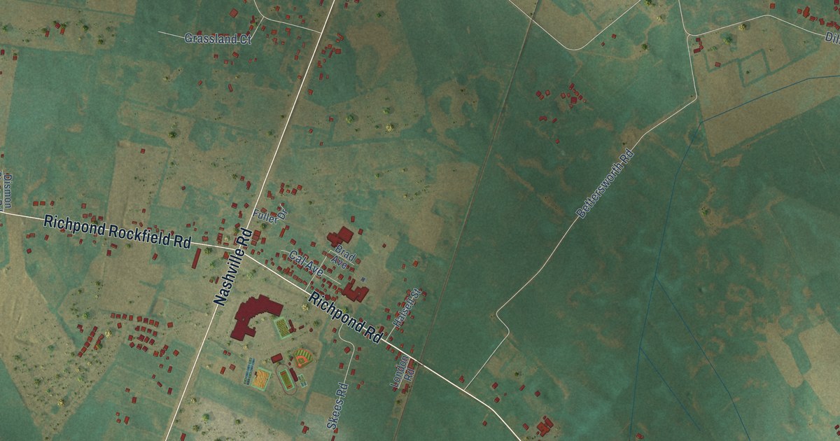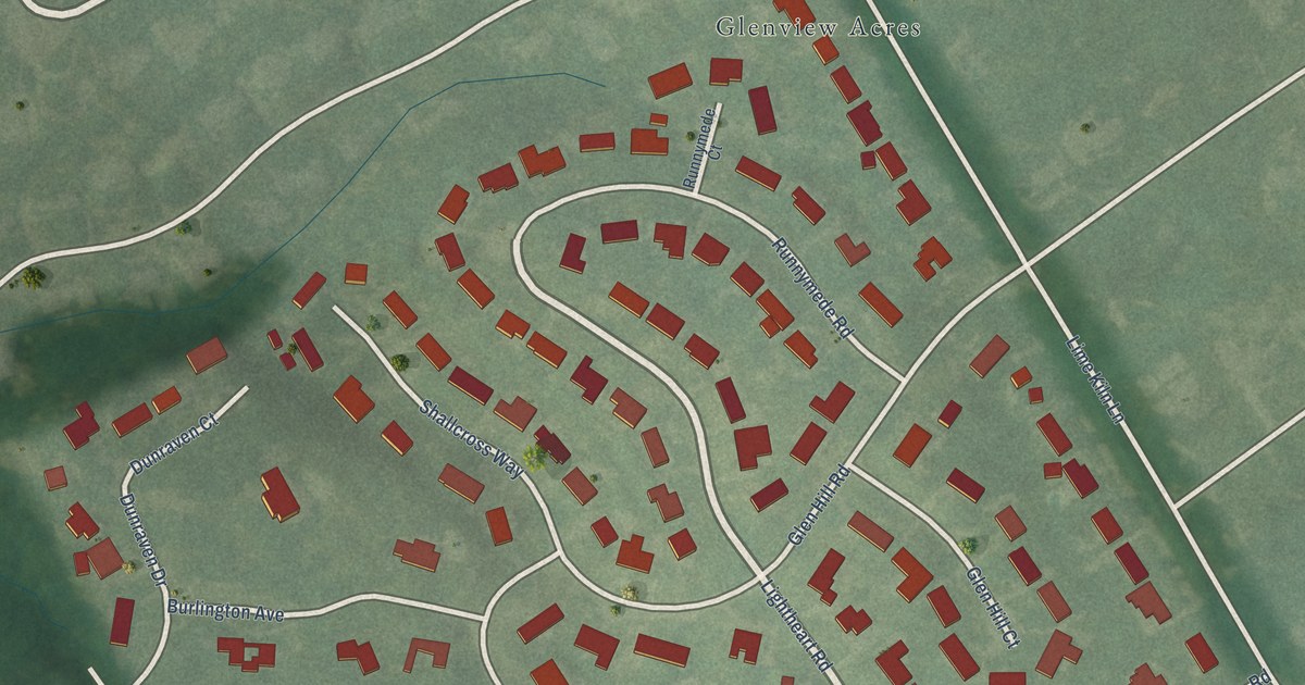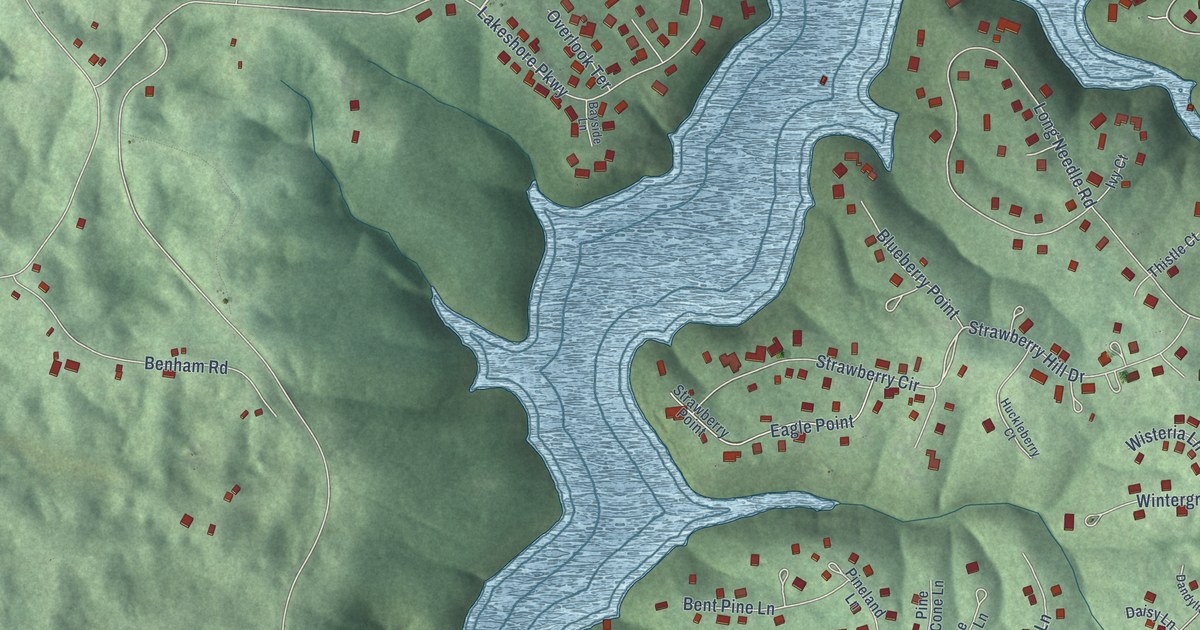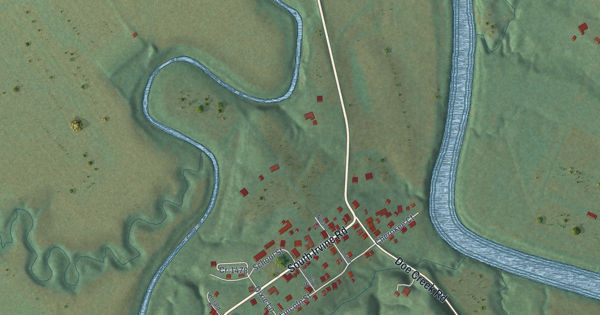
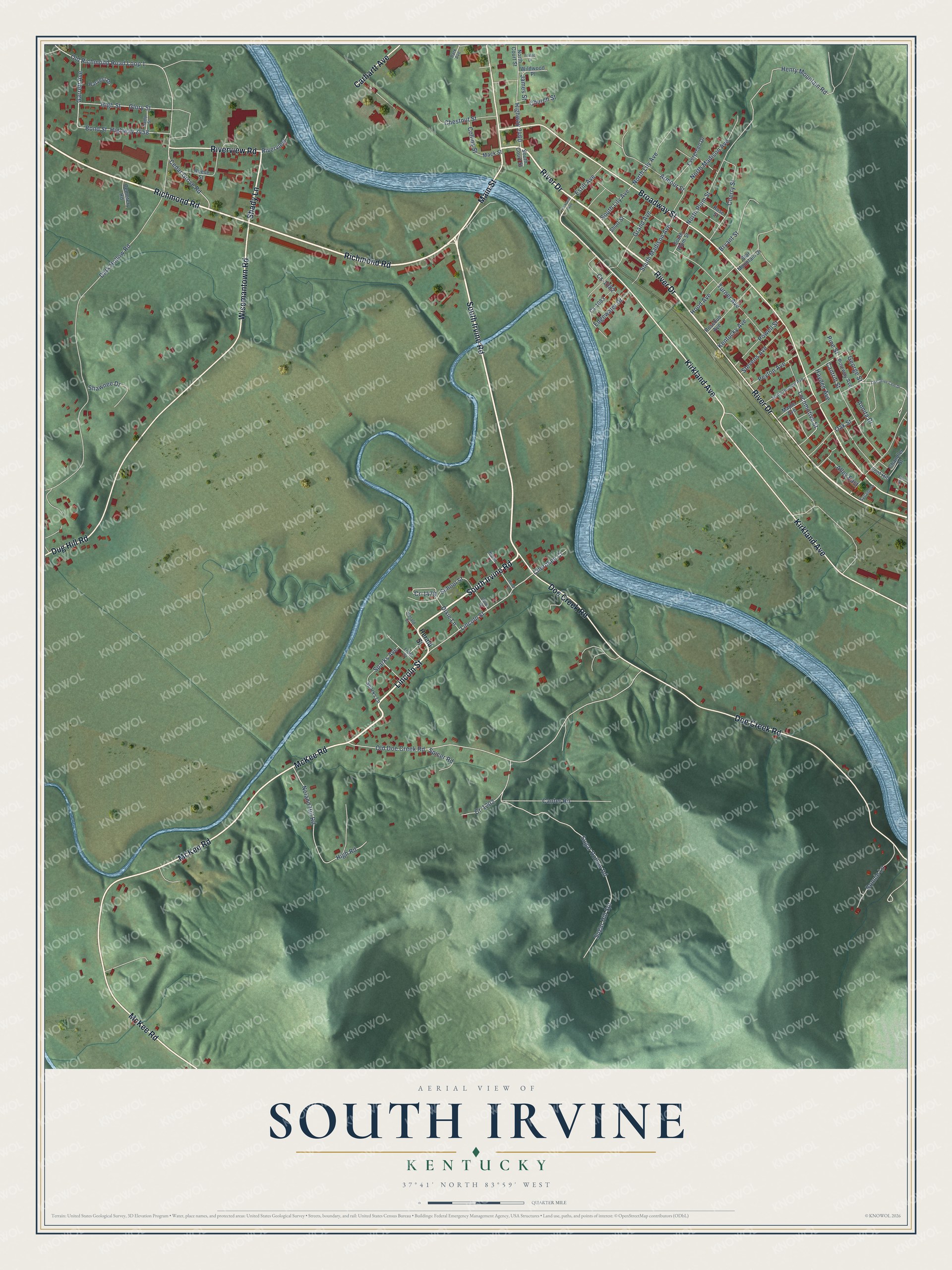
This beautifully detailed map of South Irvine, Kentucky was created in 2026 using aerial imagery combined with modern topographical, census, street and landmark data. It’s a one-of-a-kind view of South Irvine that combines accurate data with a vintage aesthetic. The map shows every building in its true location, many of the roads carry their names, and the shaded topographic relief shows the shape of the land.
Explore an aerial view of South Irvine, Kentucky
On the map you’ll find South Irvine Road, Richmond Road, Lincoln Street, Main Street, Shady Lane, Wisemantown Road, Broadway Street, Kirkland Avenue, River Drive, McKee Road, Doe Creek Road, Riverview Road, and more. If you look closely you can even find your house accurately drawn in its correct location. Zoom in on the preview to look for yours.
Take a closer look at the South Irvine map
Names on this map
These names are printed on this map.
Streets and roads: South Irvine Road, Richmond Road, Lincoln Street, Main Street, Shady Lane, Wisemantown Road, Broadway Street, Kirkland Avenue, River Drive, McKee Road, Doe Creek Road, Riverview Road.
More street names, A to Z
Alley East, Annita Drive, Armour Street, Bond Street, Bonnie Lane, Bryant Street, Camp Street, Canter Road, Cantrill Street, Carhartt Avenue, Cedar Grove Road, Cemetery Road, Chandler Street, Cherokee Court, Cherry Street, Chestnut Street, Church Street, Collins Street, Cr-1202, Cr-1478, Cs-1082, Cs-1083, Dark Hollow Road, Dixie Lane, Dug Hill Road, Edgewater Drive, Elm Street, Estill Avenue, Evergreen Drive, Foot Hill, Friend Drive, Front Street, Garrett Avenue, George Street, Glory Street, Grand Avenue, Harvest Drive, Hayden Avenue, Henry Mountain Road, Herald Street, High Road, High Street, Highway 2458, Highway 2460, Hood Avenue, James Street, Kentucky Avenue, Locomotive Street, Mack Street, Maple Avenue, Minor Lane, Noland Hill Road, Nolan Lane, North Court Street, North Lily Avenue, North Madison Avenue, North Plum Street, Oak Drive Cem Drive, Oak Street, Old Doe Creek Road, Old Richmond Road Loop 1, Olive Street, Park Avenue, Peyton Avenue, Pine Street, Pineway Avenue, Powell Street, Reese Street, Riverview, Rosebud Avenue, Rose Street, School Street, Shawnee Drive, Short Street, South Court Street, South Hudson Avenue, South Lily Avenue, South Madison Avenue, South Plum Street, Sparks Avenue, Sparks Lane, Spicer Road, Star Mountain Drive, Stevens Avenue, Sugar Hill Spr, Sugar Hollow Road, Sycamore, Turner Avenue, Wildwood Place.
See it on a wall
The South Irvine map as a framed print. Swipe for more.


This beautifully detailed map of South Irvine makes an attractive addition to your office, library, or den, and it can even be used to teach children the geography and history of the area. It also makes a great gift for someone who left South Irvine and still calls it home. When you’re done exploring, click here to get your copy of the South Irvine map.