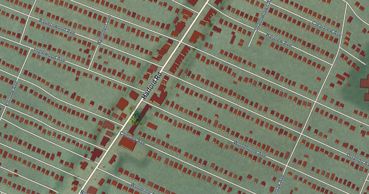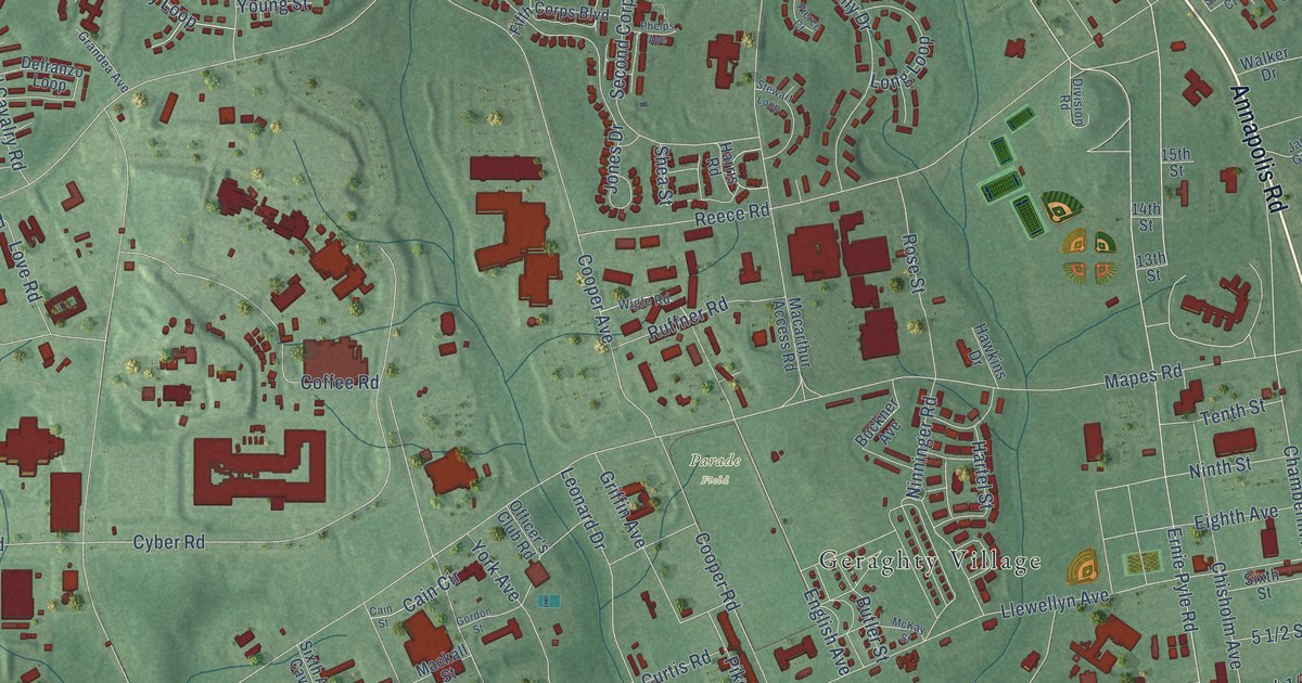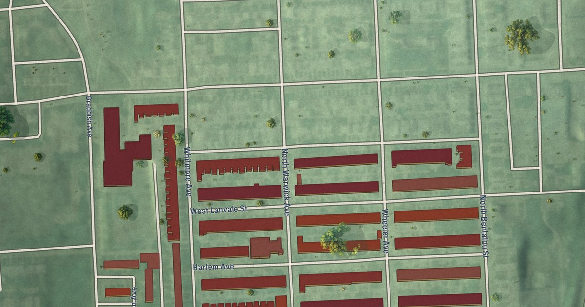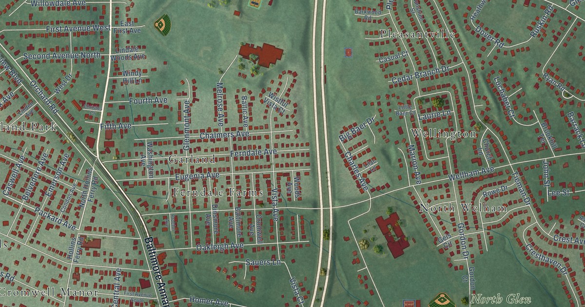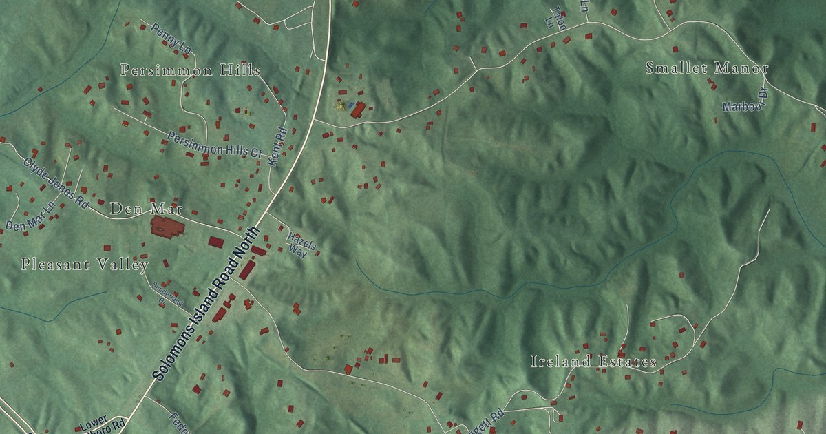
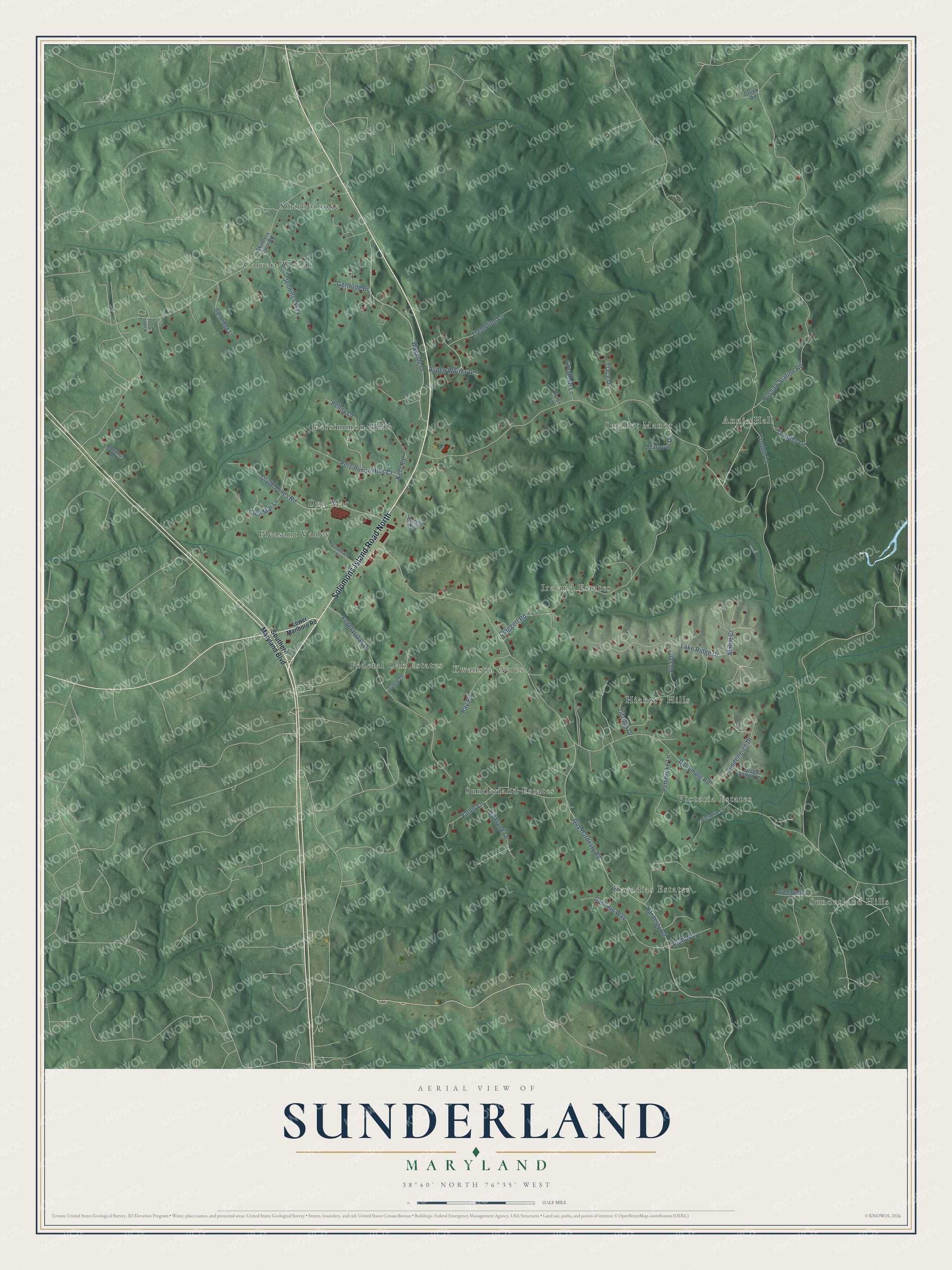
This beautifully detailed map of Sunderland, Maryland was created in 2026 using aerial imagery combined with modern topographical, census, street and landmark data. It’s a one-of-a-kind view of Sunderland that combines accurate data with a vintage aesthetic. The map shows every building in its true location, many of the roads carry their names, and the shaded topographic relief shows the shape of the land.
Explore an aerial view of Sunderland, Maryland
On the map you’ll find Ireland Estates, Smithbrooke, Kavadias Estates, Annie Hall, Federal Oak Estates, Sunderland Hills, Persimmon Hills, Pleasant Valley, Sunderland Estates, Victoria Estates, Smallet Manor, Hickory Hills, and more. If you look closely you can even find your house accurately drawn in its correct location. Zoom in on the preview to look for yours.
Take a closer look at the Sunderland map
Names on this map
These names are printed on this map.
Places: Ireland Estates, Smithbrooke, Kavadias Estates, Annie Hall, Federal Oak Estates, Sunderland Hills, Persimmon Hills, Pleasant Valley, Sunderland Estates, Victoria Estates, Smallet Manor, Hickory Hills, Calvert Woods, Kwanson Acres and Den Mar.
Streets and roads: Solomons Island Road North, Alpine Court, Trembling Lane, Pushaw Station Road, Dalrymple Road, Guy Hardesty Road, Hardesty Road, Clyde Jones Road, Claggett Road, Wayside Drive, Federal Oak Drive, Lake Ridge Drive.
More street names, A to Z
Alta Drive, Aspen Woods Drive, Busters Lane, Creek Road, Crestmar Lane, Danbridge Lane, Den Mar Lane, Dorothy Lane, Foggy Bottom Court, Gabriels Way, Gertrude Drive, Goah Way, Gordon Drive, Greenvalley Drive, Hazels Way, Highland Lane, Jennings Way, Kent Road, Lower Marlboro Road, Marbour Drive, Pembroke Lane, Penny Lane, Persimmon Hills Court, Ray Road, Shade Tree Court, Skinners Turn Road, Southern Maryland Boulevard, Sunderland Drive, Sunderleigh Drive, Talon Lane, Trace Drive, Troop Court, Trouble Lane, Valley Lane, Victoria Lane.
See it on a wall
The Sunderland map as a framed print. Swipe for more.


This beautifully detailed map of Sunderland makes an attractive addition to your office, library, or den, and it can even be used to teach children the geography and history of the area. It also makes a great gift for someone who left Sunderland and still calls it home. When you’re done exploring, click here to get your copy of the Sunderland map.