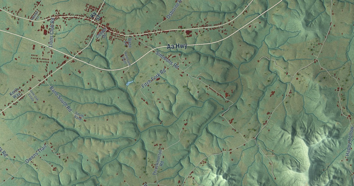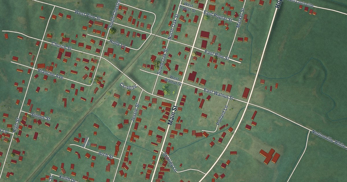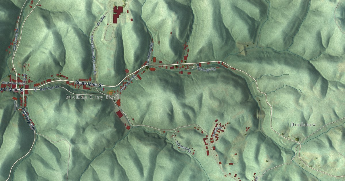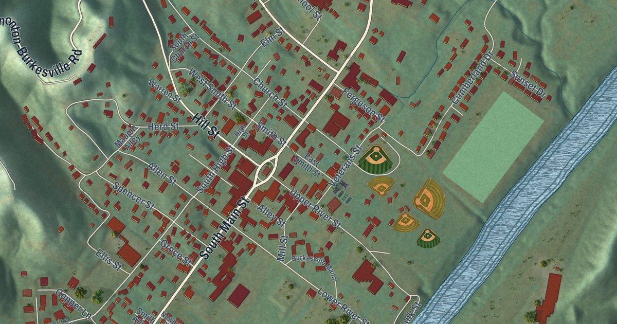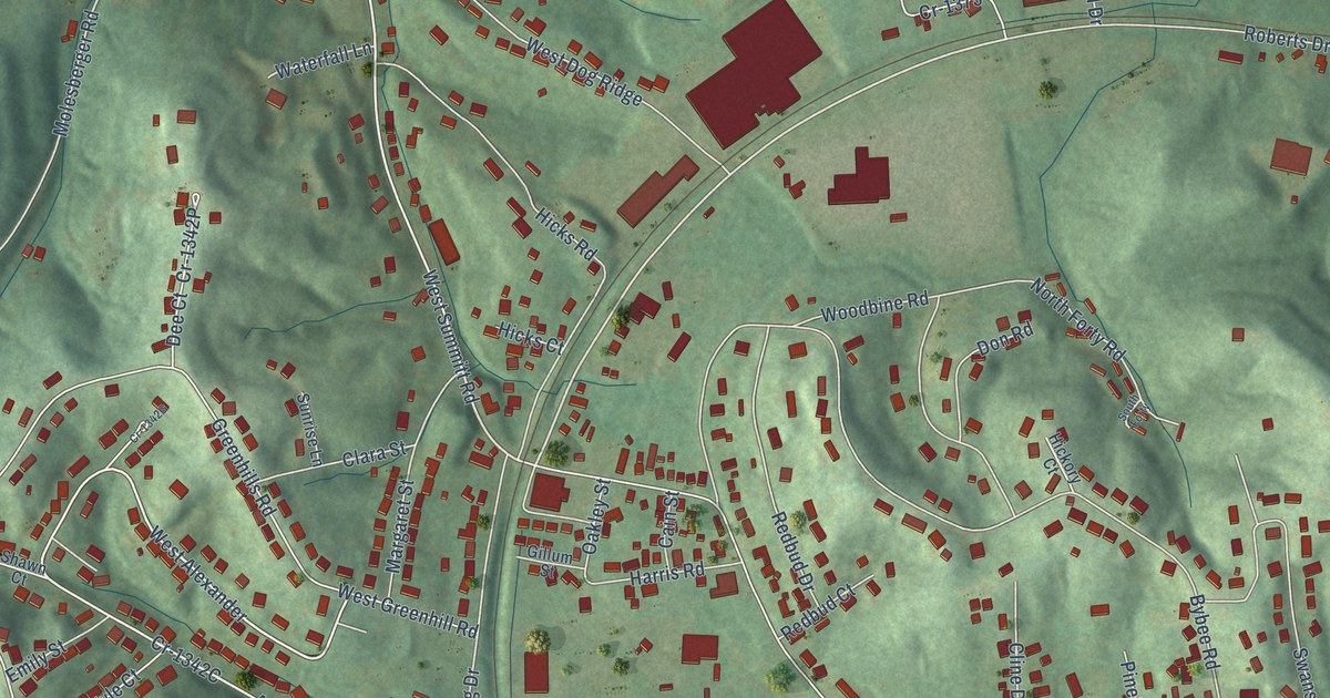
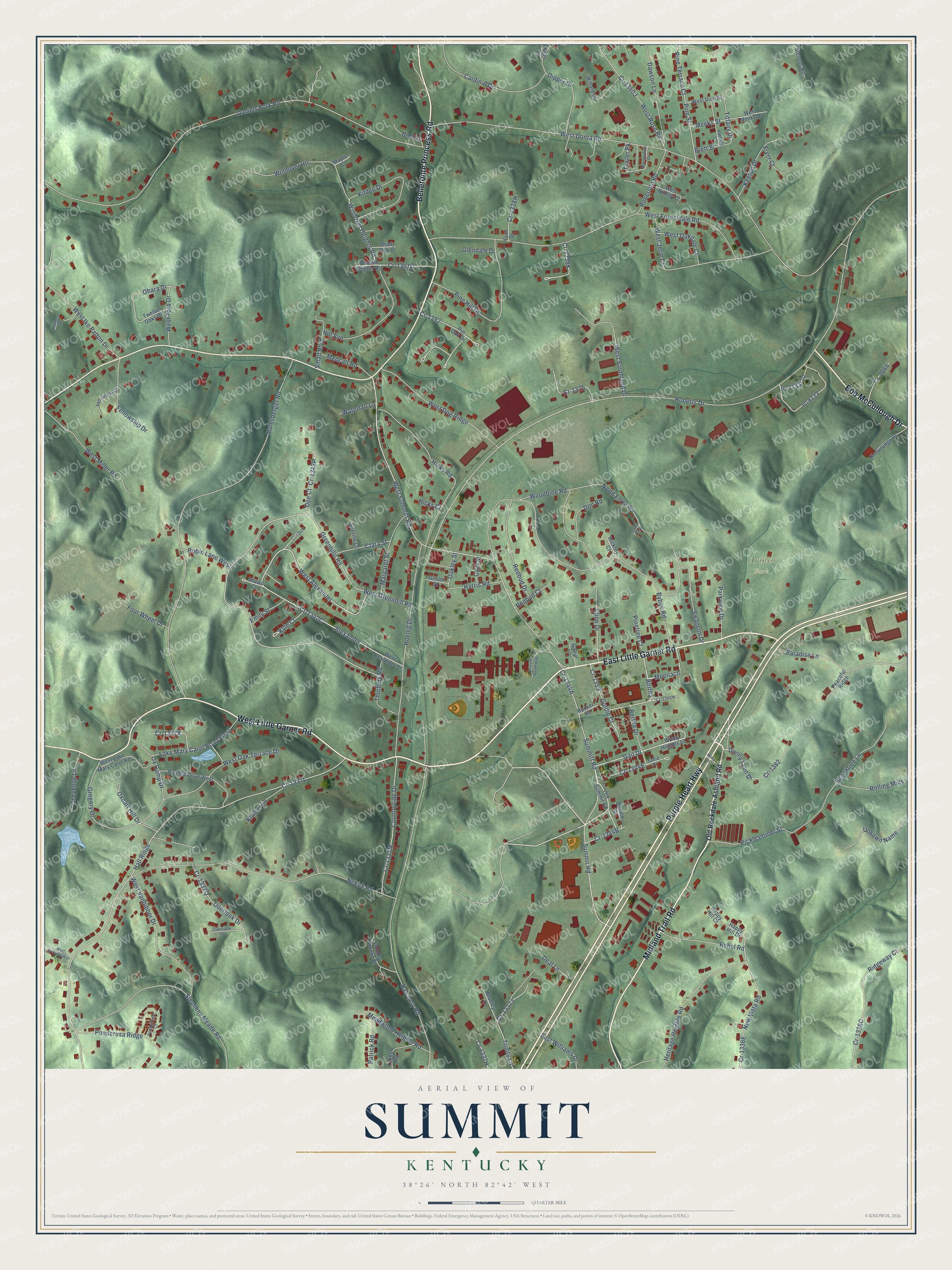
This beautifully detailed map of Summit, Kentucky was created in 2026 using aerial imagery combined with modern topographical, census, street and landmark data. It’s a one-of-a-kind view of Summit that combines accurate data with a vintage aesthetic. The map shows every building in its true location, many of the roads carry their names, and the shaded topographic relief shows the shape of the land.
Explore an aerial view of Summit, Kentucky
On the map you’ll find Armco Park, Bertha, Meenach, and Alexander, along with East Little Garner Road, Purple Heart Highway, Bellefonte Princess Road, West Little Garner Road, Midland Trail Road, Bob McCullough Drive, Gail Drive, West Summitt Road, and more. If you look closely you can even find your house accurately drawn in its correct location. Zoom in on the preview to look for yours.
Did You Know?
From Internet Archive: "Reports from Summit Station state that the storm was the most severe in many years. ■slat's Ab andoned Farm*."
Summit is a community in Boyd County.
Take a closer look at the Summit map
Names on this map
These names are printed on this map.
Places: Armco Park.
Streets and roads: East Little Garner Road, Purple Heart Highway, Bellefonte Princess Road, West Little Garner Road, Midland Trail Road, Bob McCullough Drive, Gail Drive, Bertha, Meenach, Alexander, West Summitt Road, Summit Road.
More street names, A to Z
Barnhart Lane, Beechtree Lane, Bertha Drive, Bob Lane, Bradley Lane, Brett Street, Bybee Road, Cain Street, Cardinal Drive, Cheyenne Lane, Clara Street, Cline Drive, Country Brooke Drive, Countryside Drive, Cr-1066, Cr-1353, Cr-1375, Cr-1382, Cr-1392, Daniels Fork Road, Danny Lynn Drive, Dawson Lane, Deal Lane, Dee Court, Dipper Drive, Donald Street, Don Road, Dorcliff Heights Road, East Williams Drive, Emily Street, Federal Circle, Fellowship Court, Fellowship Drive, Four Wheel Drive, Friel Drive, Fryer Court, Gillum Street, Glendale Drive, Goldie Court, Greenhills Road, Gregory Drive, Hall Ridge, Happy Hill Court, Happy Hill Drive, Harris Road, Hatchery Road, Hatfield Street, Heritage Heights Road, Hickory Court, Hicks Court, Hicks Road, Hill Avenue, Hoenig Drive, Horseshoe Drive, Ic-8133, Ic-8133-70, Keeton Drive, Kildee Drive, Kiser Lane, Klaiber Lane, Knowledge Drive, Kyle Court, Lake Mary Carol Road West, Maple Court, Margaret Street, Meadwood Heights Road, Medcalf Road, Meeks Street, Misty Lane, Molesberger Road, Nekirk Road, New Vista Road, North Forty Road, Oakley Street, Ohara Drive, Old Rockdale-Ashland Road, Old Summit Road, Overlook Court, Overlook Drive, Ox Camp Drive, Oxcart Hill Drive, Pamela Drive West, Paradise Lane, Parkview Drive, Patrick Road, Peaceful Ridge, Picklesminer Street, Pine Hill Drive, Pine Street, Pine Terrace Court, Pinetree Court, Pin Oak Drive, Ponderosa Court, Ponderosa Ridge, Prison Driveway, Rebel Road, Redbud Court, Redbud Drive, Ridgeway Court, Roberson Road, Roberts Drive, Robin Lane West, Rolling Mills, Rucker Road, Sallie Drive, Shady Oak Drive, Shawn Court, Small Boulevard, South Forty, Stephens Meade Road, Stevens Road, Summitt Road, Sunrise Lane, Swanson Drive, Thurbury Road, Tiffany Drive, Trailer Pk, Trinity Lane, Tucker Road, Twelve Oaks Drive, Unkown Name, Waterfall Lane, West Alexander, West Alexander Drive, West Arrowhead Drive, West Dog Ridge, West Donta Road, West Forestdale Road, West Greenhill Road, West Ike Patton Drive, West Jerie Court, West Lake Mary Carol Road, West Meeks Drive, West Miller Road, West Nunley Court, West Oakdale Court, West Oak Terrace Drive, West Rose Road, West Southland Drive, West Tara Drive, West Vanbibber Drive, West Vine Street, Willard Drive, Windover Heights, Windover Heights Road, Windy Heights Lane, Woodbine Road.
See it on a wall
The Summit map as a framed print. Swipe for more.


This beautifully detailed map of Summit makes an attractive addition to your office, library, or den, and it can even be used to teach children the geography and history of the area. It also makes a great gift for someone who left Summit and still calls it home. When you’re done exploring, click here to get your copy of the Summit map.