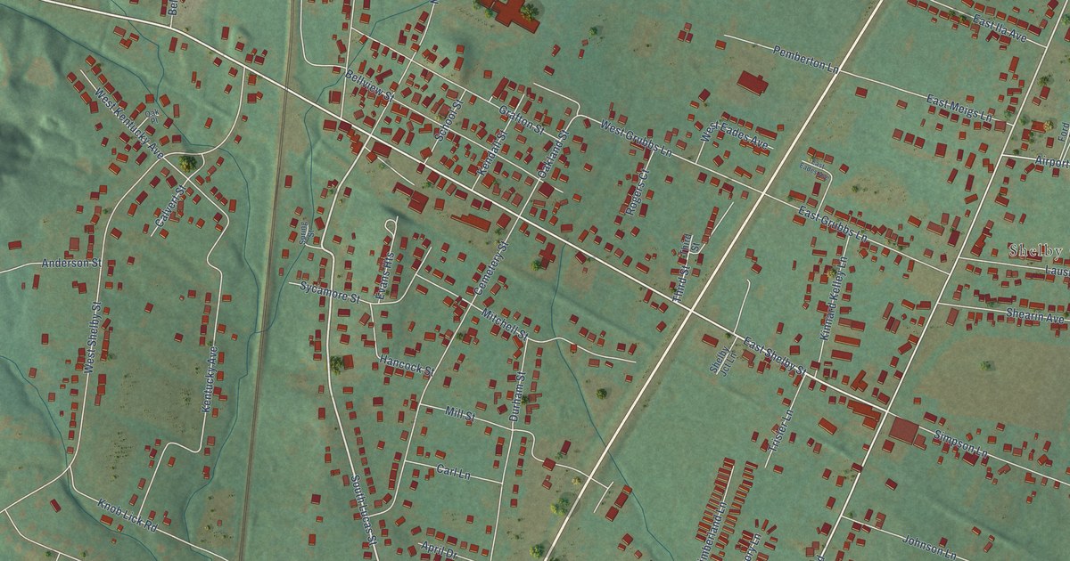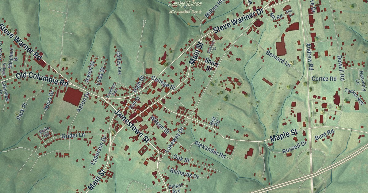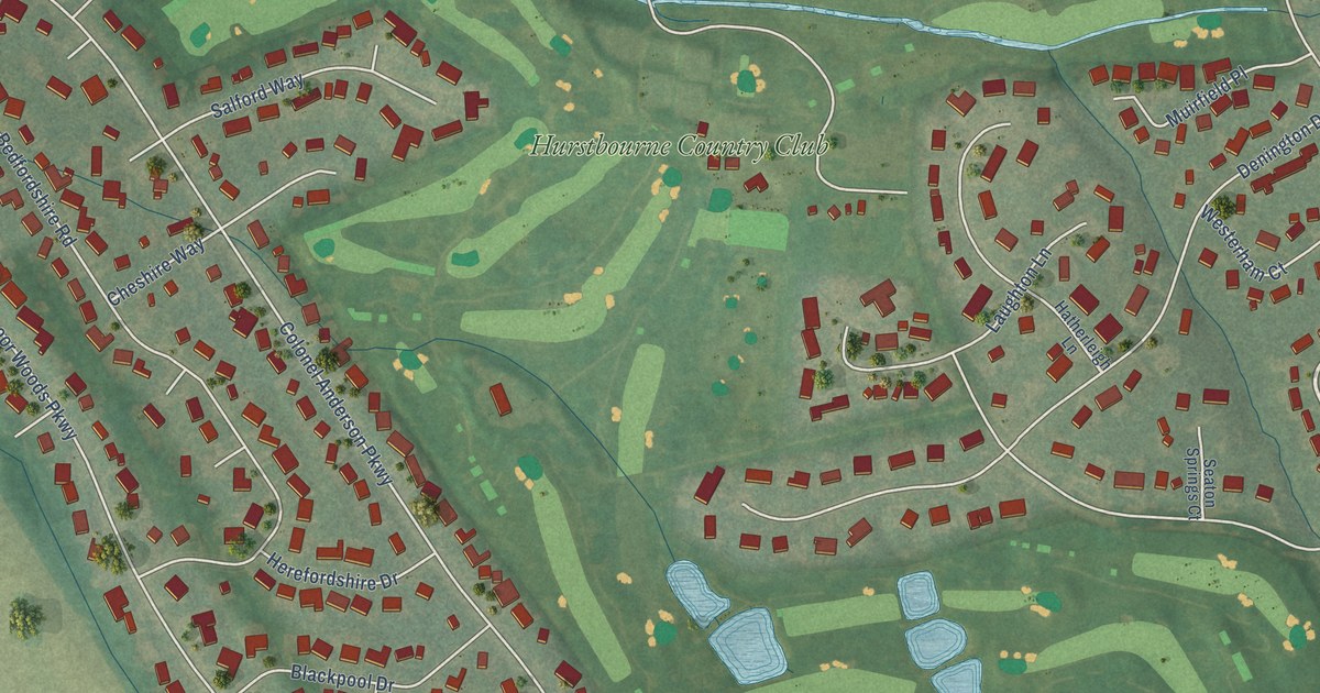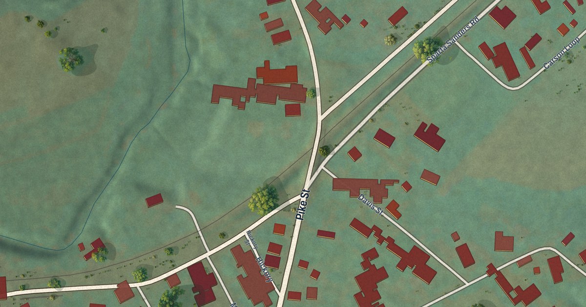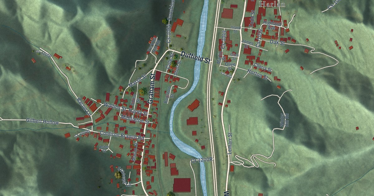
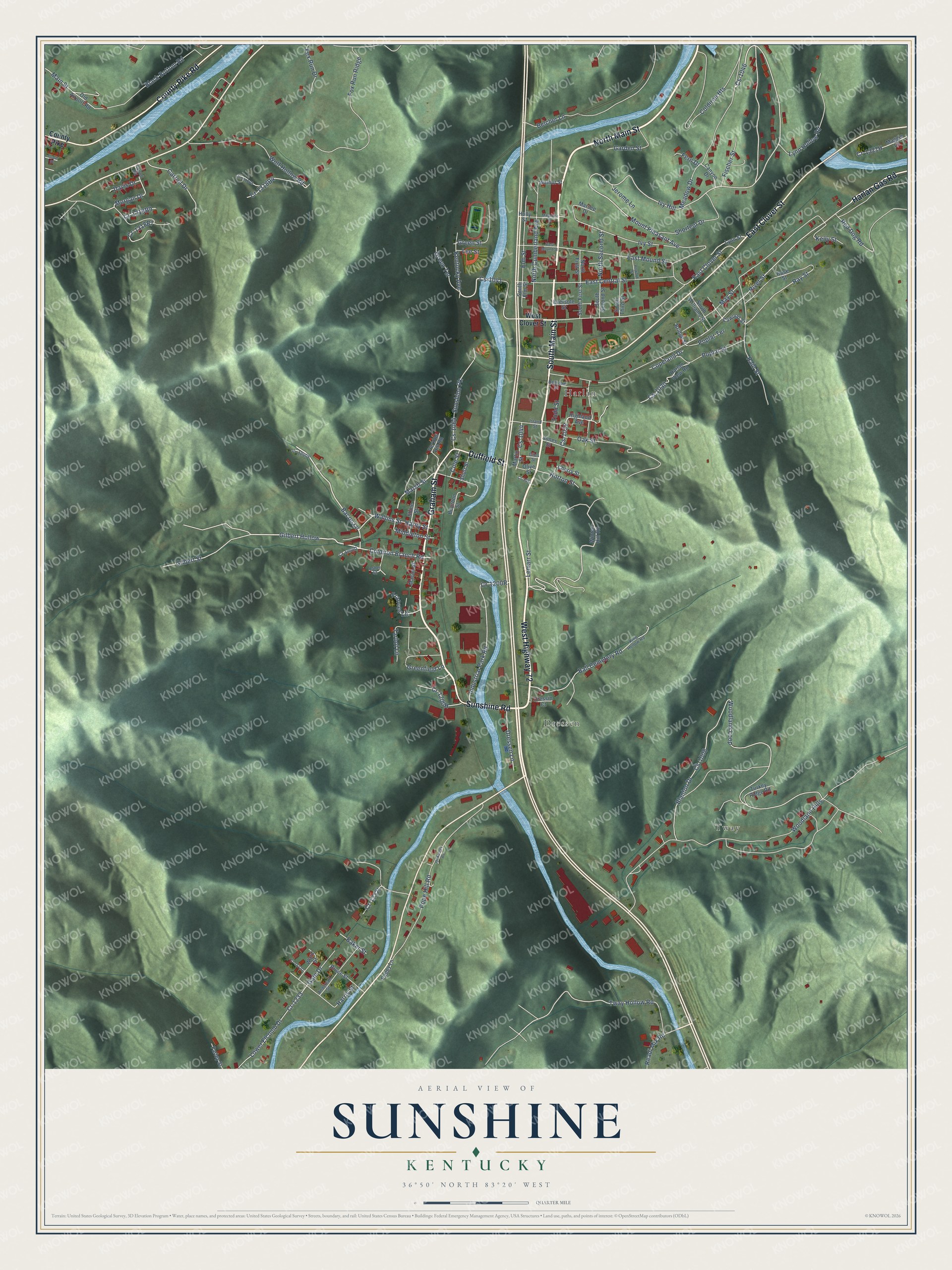
This beautifully detailed map of Sunshine, Kentucky was created in 2026 using aerial imagery combined with modern topographical, census, street and landmark data. It’s a one-of-a-kind view of Sunshine that combines accurate data with a vintage aesthetic. The map shows every building in its true location, many of the roads carry their names, and the shaded topographic relief shows the shape of the land.
Explore an aerial view of Sunshine, Kentucky
On the map you’ll find Tway, Dressen, and Harlan, along with South Main Street, North Main Street, Sunshine Road, Graham Street, West Highway 72, County Pike Road, East Clover Street, Duffield Street, Harlan Gas Road, and more. If you look closely you can even find your house accurately drawn in its correct location. Zoom in on the preview to look for yours.
Take a closer look at the Sunshine map
Names on this map
These names are printed on this map.
Places: Tway, Dressen and Harlan.
Streets and roads: South Main Street, North Main Street, Sunshine Road, Graham Street, West Highway 72, County Pike Road, East Clover Street, Duffield Street, Harlan Gas Road, Bacon Lane, Gilbert Street, Gilbert Hollow.
More street names, A to Z
Anderson Street, Asher Street, Baker Street, Ball Cemetery Road, Belcher Lane, Black Bottom Road, Blanton Drive, Bourbon Street, Bridge Street, Bruce Street, Canyon Drive, Carroll Drive, Carroll Road, Cawood Street, Cedar Street, Cherry Street, Coldiron Branch Road, Coldiron Heights, Cole Street, Copeland Drive, County Pike, Cr-1233, Cs-1008, Cs-1030, Cs-1032, Cs-1041, Cs-1044, Cs-1046, Cs-1051, Cs-1064, Davis Drive, Dressen Lane, Dressin Court, East Central Street, East Mound Street, Elm Street, Eversole Street, Farley Street, Fern Drive, Fischer Street, Fox Run Drive, Fox Run Ridge, Frances Lane, Garden Street, Gate Drive, Giles Street, Greenfield Lane, Green Street, Green Terrace, Hardy Street, Harlan View Road, Harris Street, Highland Avenue, Holly Street, Horton Street, Howard Street, Industrial Park Road, Island Street, Ivy Hill, Ivy Street, Jerome Lane, Jones Street, Kelly Street, Kentucky Avenue, King Hollow Road, Lee Street, Lemarr Street, Lower Elcomb Drive, Lynn Hollow Road, Lynn Street, Macon Street, Maggie Lane, Magnolia Street, Main Street, Marsee Drive, Marsh Street, Martin Street, May Street, McKinney Road, Meadow Drive, Middleton Street, Morgan Drive, Mount Pleasant Avenue, North Cumberland Avenue, North First Street, North Second Street, Oak Street, Old Airport Road, Olive Street, Pappy Lane, Perkins Hill Road, Pope Hill Road, Poplar Street, Poplar Terrace, Railroad Street, Rain Street, Ray Street, Readi Mix Road, Red Dog Road, River Street, Rose Street, Shine Street, Shortcut Drive, Short Street, South Elm Street, South First Street, South Second Street, South Third Street, South Williams Street, Sunshine Pk, Tarbot Lane, Todd Street, Turkey Ridge Road, Tway Hollow Road, Wallins Street, Walnut Street, Ward Street, West Clover Street, West Mound Street, Winter Hill Road, Wolf Hollow Road, Woodland Hills, Woodland Loop.
See it on a wall
The Sunshine map as a framed print. Swipe for more.


This beautifully detailed map of Sunshine makes an attractive addition to your office, library, or den, and it can even be used to teach children the geography and history of the area. It also makes a great gift for anyone who grew up in Sunshine or moved away. When you’re done exploring, click here to get your copy of the Sunshine map.