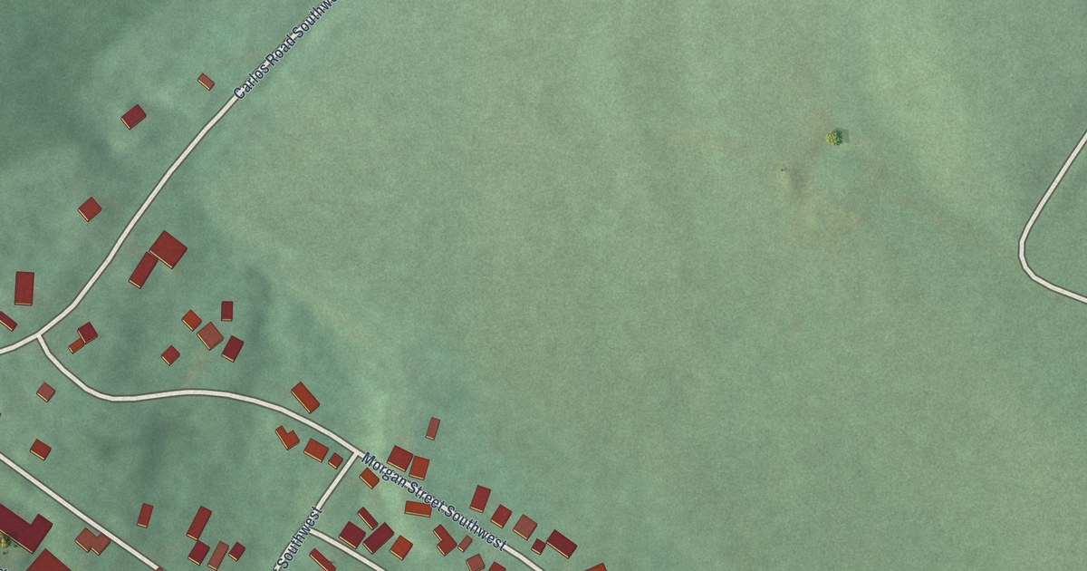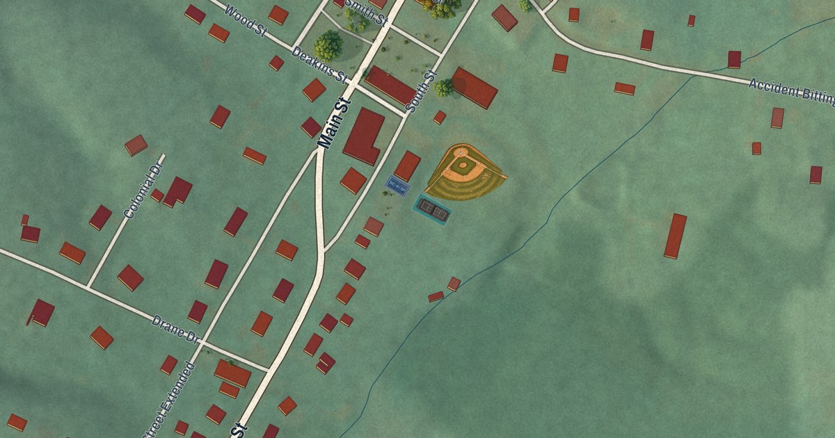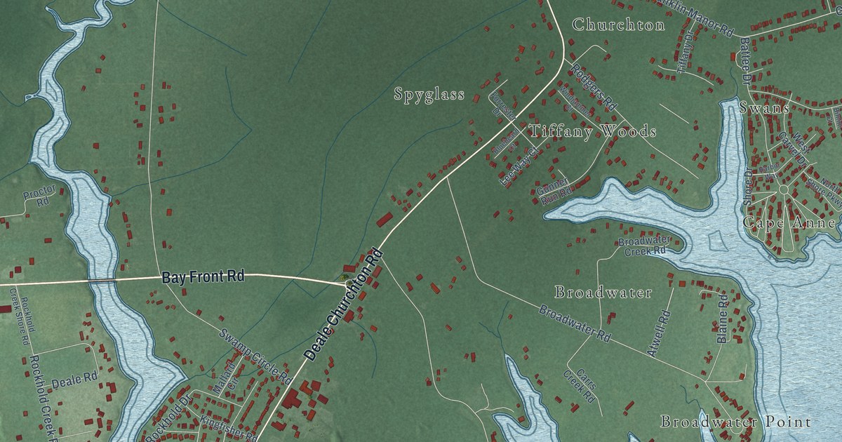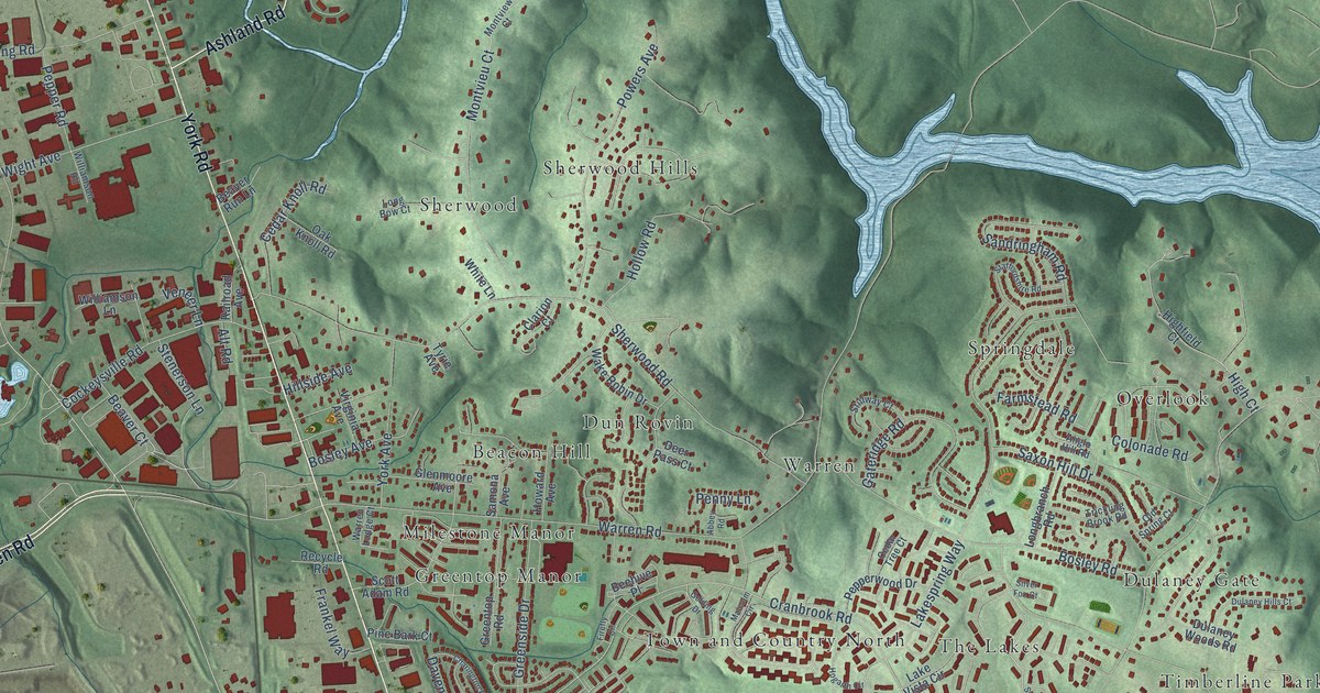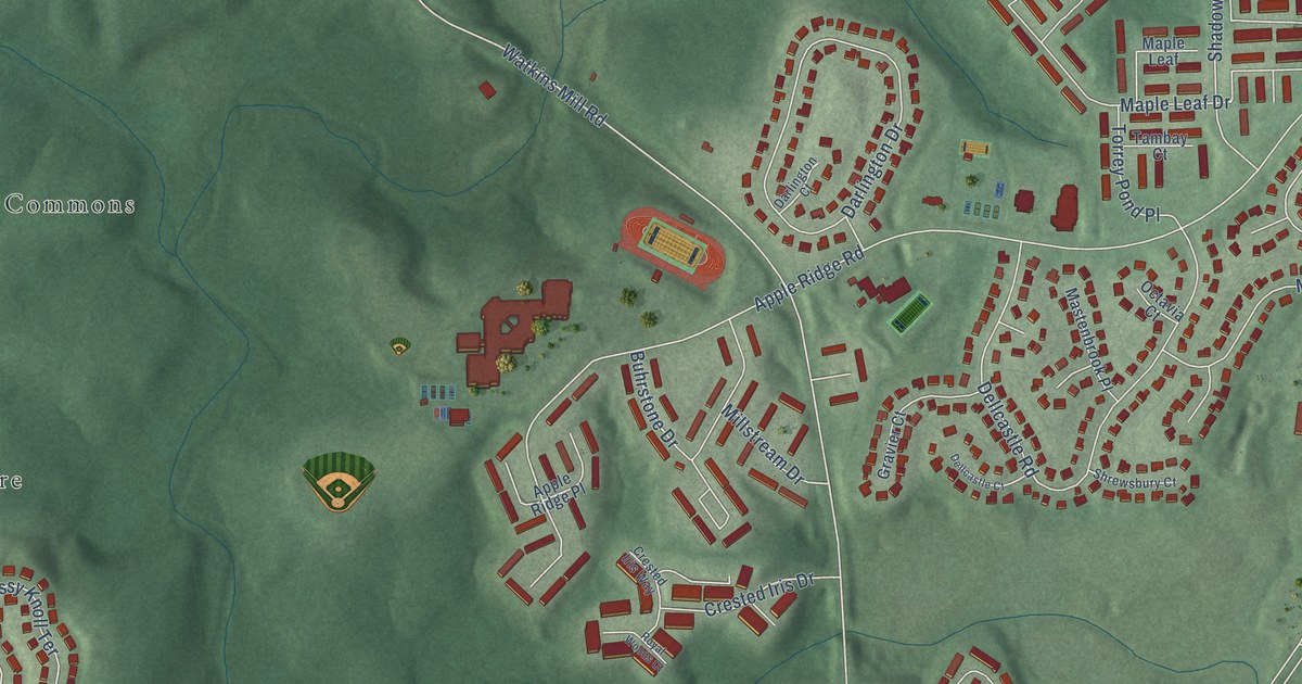
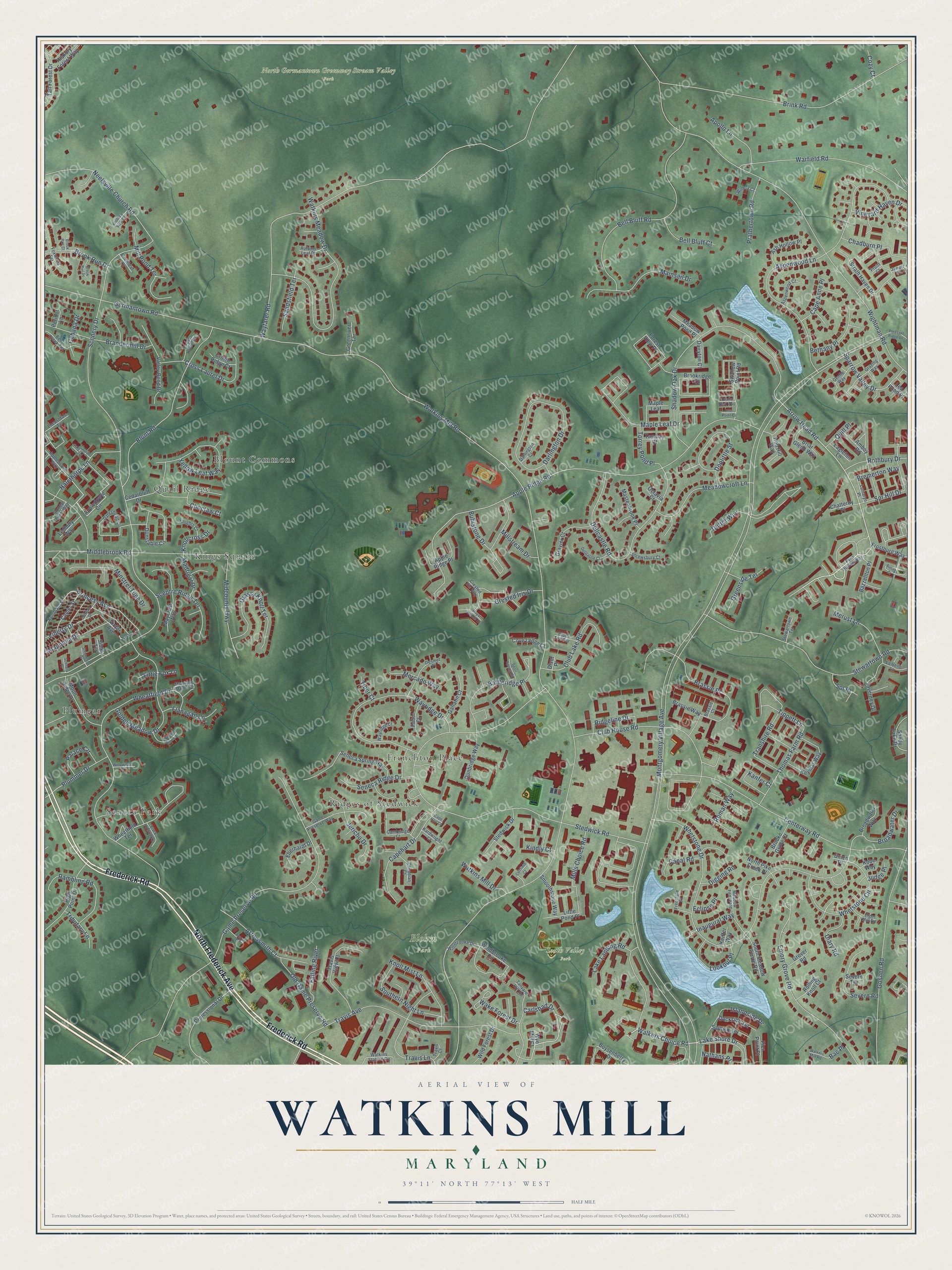
This beautifully detailed map of Watkins Mill, Maryland was created in 2026 using aerial imagery combined with modern topographical, census, street and landmark data. It’s a one-of-a-kind view of Watkins Mill that combines accurate data with a vintage aesthetic. The map shows every building in its true location, many of the roads carry their names, and the shaded topographic relief shows the shape of the land.
Explore an aerial view of Watkins Mill, Maryland
On the map you’ll find Blohm Park, North Germantown Greenway Stream Valley Park, South Valley Park, Blount Commons, Plumgar, Frenchton Place, Kings Square, Seneca Park, Ridges of Stedwick, and Quail Ridge, along with North Frederick Avenue, Frederick Road, and more. If you look closely you can even find your house accurately drawn in its correct location. Zoom in on the preview to look for yours.
Take a closer look at the Watkins Mill map
Names on this map
These names are printed on this map.
Places: Blohm Park, North Germantown Greenway Stream Valley Park, South Valley Park, Blount Commons, Plumgar, Frenchton Place, Kings Square, Seneca Park, Ridges of Stedwick and Quail Ridge.
Streets and roads: North Frederick Avenue, Frederick Road, Walkers Choice Road, Lake Shore Drive, Arrow Head Road, Carlsbad Drive, Princess Avenue, Montgomery Village Avenue, Watkins Mill Road, Scenery Drive, Stedwick Road, Apple Ridge Road.
More street names, A to Z
Amboy Road, Apollo Lane, Appledowre Circle, Appledowre Way, Apple Ridge Place, Ararat Drive, Arrowleaf Court, Arrowsmith Court, Ash Hollow Place, Aspenwood Court, Aspenwood Lane, Autumn Leaf Place, Bac Place, Battleridge Place, Bazzellton Place, Bell Bluff Court, Bell Bluff Road, Bent Creek Terrace, Bethany Place, Billings Court, Black Forest Way, Blue Tee Terrace, Blunt Road, Boysenberry Drive, Brandermill Drive, Brassie Court, Brassie Place, Brassie Way, Bremerton Way, Briar Glenn Way, Brink Road, Broadwater Drive, Broadwater Way, Brooke Grove Court, Brookridge Court, Brook Run Court, Brook Run Drive, Brook Run Place, Buhrstone Drive, Cabana Drive, Cambridge Court, Canadian Court, Canal Road, Cape Anne Place, Cape Hart Court, Capehart Drive, Cedarbluff Drive, Centerway Road, Chadburn Place, Chatteroy Place, Choctaw Court, Club House Road, Club Lake Road, Coltfield Court, Comer Street, Cove Ledge Court, Cozy Court, Crested Iris Drive, Crested Iris Way, Cross Laurel Court, Cross Laurel Drive, Crown Ridge Court, Dairyton Court, Darlington Court, Darlington Drive, Dellcastle Court, Dellcastle Road, Desmet Place, Diary Road, Digging Road, Divot Place, Dockside Terrace, Doolittle Street, Duffer Way, Dunbridge Way, Dunstable Circle, Eagleton Lane, Eberhardt Drive, Eclipse Place, Elger Mill Road, Emory Grove Road, Faber Court, Falling River, Fern Hollow Way, Flanagan Lane, Forest View Place, Foxwood Terrace, Freestate Place, Frostburg Way, Gallatin Court, Game Preserve Road, Game Preserve Way, Garway Street, Gateshead Circle, Gentle Way, Germantown Road, Golden Meadow Drive, Goshen Road, Grassy Knoll Terrace, Gravier Court, Grazing Way, Greenriver Terrace, Greenside Terrace, Grover Road, Halethorpe Lane, Halethorpe Terrace, Hickory Forest Way, High Point Drive, Hob Hill Way, Inaugural Way, Inlet Point Court, Islandside Drive, Jarrett Court, Jericho Drive, Judge Place, Kanfer Court, Kardwright Court, Keiffer Way, Keymar Way, Kindly Court, Knights Court, Knollcross Drive, Knoll Mist Lane, Knolltop View Court, Kobe Way, La Belle Lane, Lake Landing Road, Lea Pond Place, Ledbury Way, Liberty Drive, Little Fox Lane, Little Pond Place, Locustdale Terrace, Lookout Place, Lumaryn Place, Madrigal Drive, Magnolia Drive, Mainsail Drive, Maple Leaf, Maple Leaf Drive, Maryland Manor Court, Mastenbrook Place, Maycrest Way, Meadowcroft Lane, Meadow Fence Road, Meadow Pond Place, Mercado Way, Merust Lane, Midcounty Highway, Middlebrook Road, Mill Pond Terrace, Mills Choice Road, Millstream Drive, Minstrel Tune Drive, Moon Ridge Drive, Nashua Drive, Nathans Place, Neelsville Church Road, North Pike Creek Place, Octavia Court, Old Game Preserve Road, Palace Circle, Peridot Lane, Pier Point Place, Pleasant Ridge Drive, Plummer Drive, Prathertown Road, Professional Drive, Pruitt Court, Quails Nest Way, Quill Place, Rambling Road, Rembrant Street, Ridgeline Drive, Rolling Knoll Court, Roman Way, Rothbury Drive, Royal Woods Court, Sailfish Terrace, Sandsfield Terrace, Sandy Lake Drive, Scenery Place, Sceptre Ridge Terrace, Seneca Ridge Drive, Seneca Spring Way, Severn Road, Severn Terrace, Shadow Oak Drive, Shrewsbury Court, Sibley Terrace, Smoothstone Way, Sol Place, Southern Night Lane, South Meadow Fence Road, Sparrow Valley Drive, Sparr Spring Road, Spr Hill Drive, Stedwick Drive, Stevenson Drive, Stewartown Road, Stewartown Terrace, Stoney Point Way, Strath Haven Drive, Swallow Point Road, Tall Forest Drive, Tambay Court, Tanyard Hill Road, Taverney Drive, Thomas Farm Road, Tiber Court, Tippett Lane, Torrey Pond Place, Transhire Road, Travis Avenue, Travis Court, Travis Lane, Travis View Court, Tributary Lane, Union Place, Valley Bend Drive, Victor Avenue, Vineyard Haven Drive, Wake Forest Drive, Walkers Mill Road, Warfield Road, Watkins Meadow Drive, Watkins Mill Drive, Watkins Station Circle, Wayfarer Road, Wayridge Court, Wayridge Drive, Wheatfield Drive, Wheatfield Terrace, Whetstone Circle, Whetstone Drive, Wightman Road, Wild Forest Drive, Willowdale Drive, Windbrooke Circle, Windbrooke Drive, Winding Brook Lane, Winery Court, Wye Mill Court, Yellow Leaf Way.
See it on a wall
The Watkins Mill map as a framed print. Swipe for more.


This beautifully detailed map of Watkins Mill makes an attractive addition to your office, library, or den, and it can even be used to teach children the geography and history of the area. It also makes a great gift for anyone with Watkins Mill roots. When you’re done exploring, click here to get your copy of the Watkins Mill map.