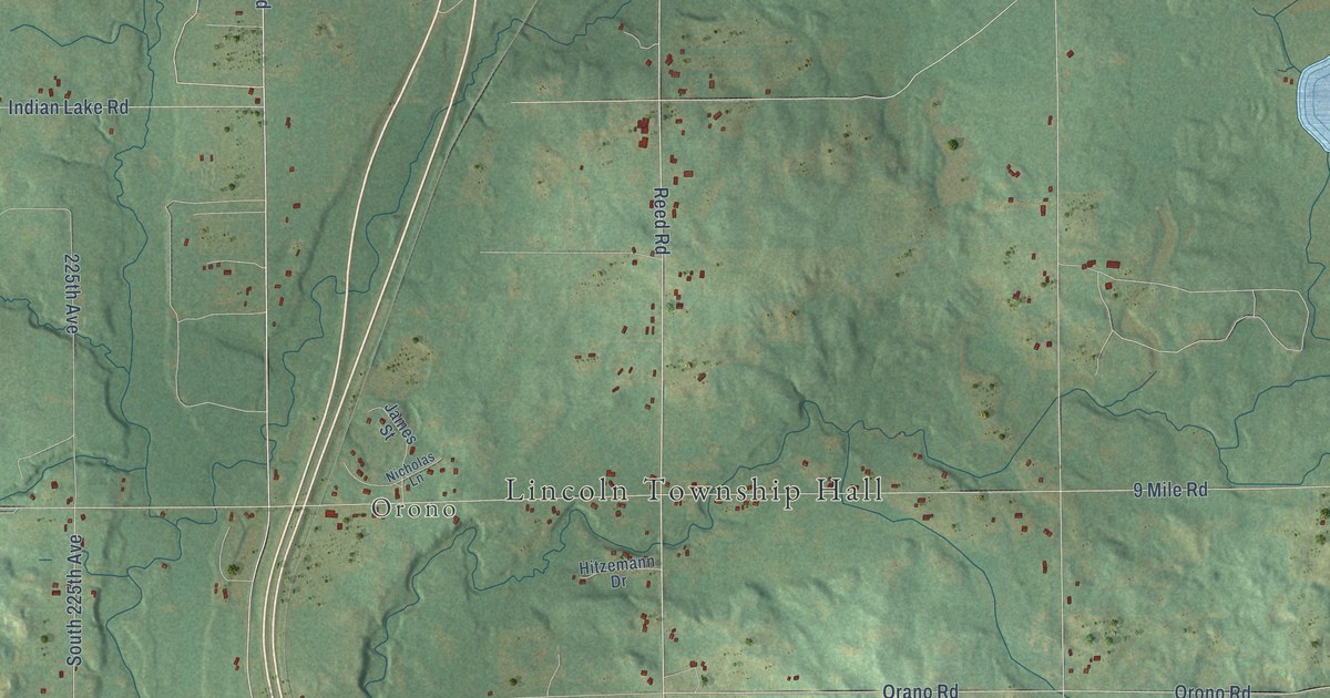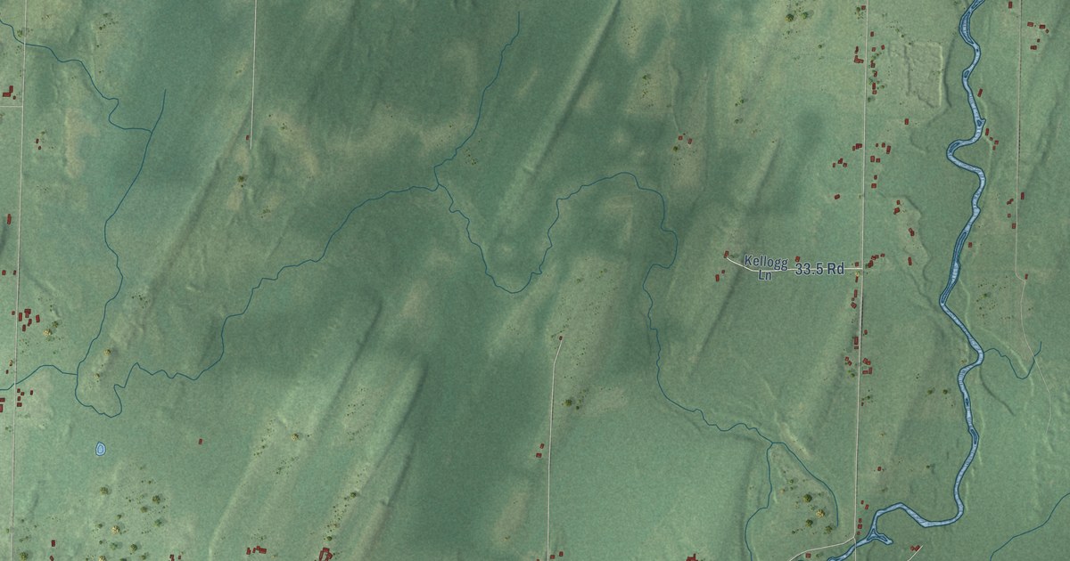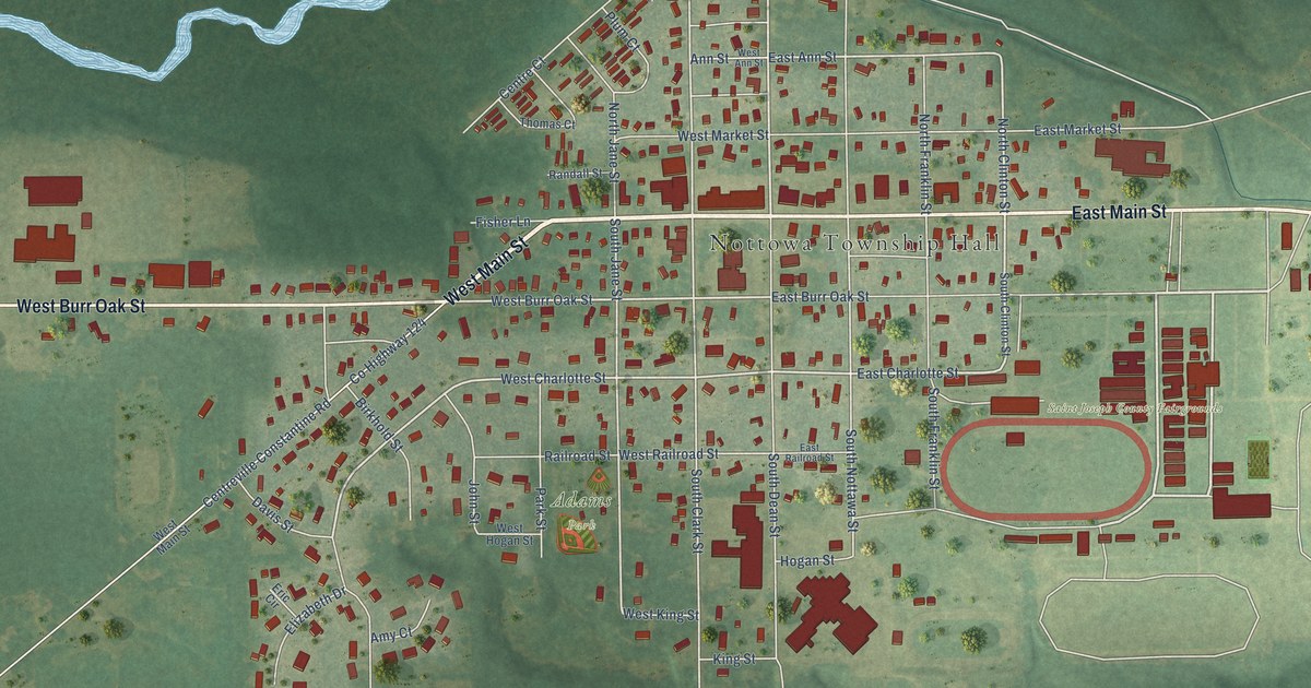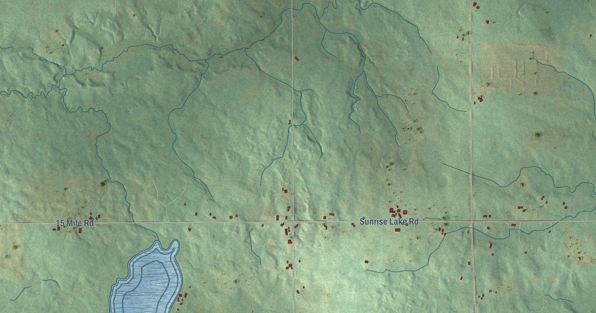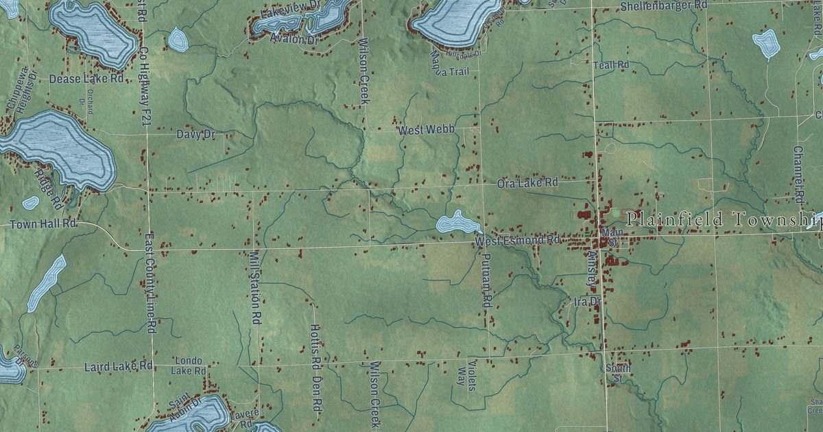
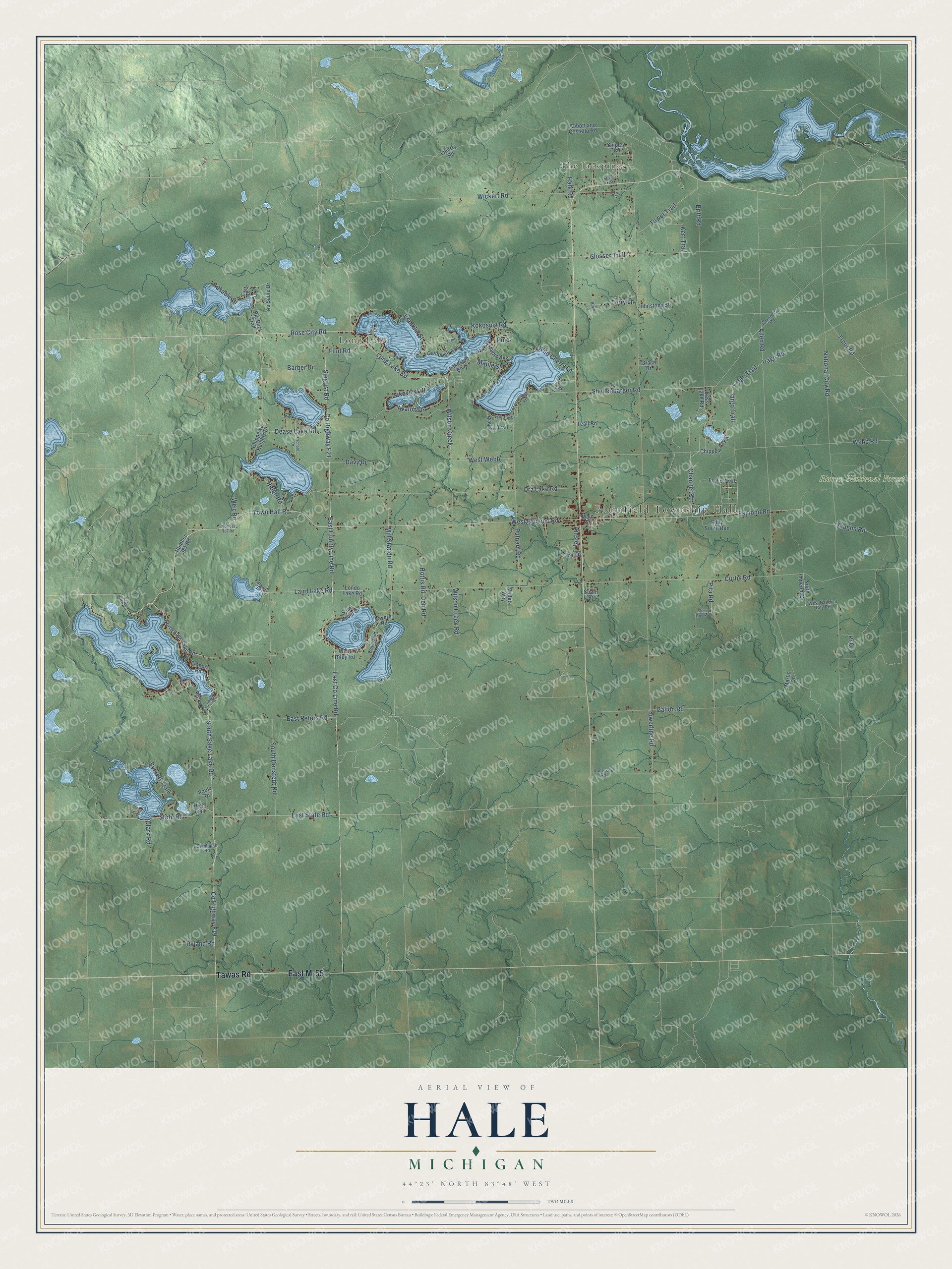
This beautifully detailed map of Hale, Michigan was created in 2026 using aerial imagery combined with modern topographical, census, street and landmark data. It’s a one-of-a-kind view of Hale that combines accurate data with a vintage aesthetic. The map shows every building in its true location, many of the roads carry their names, and the shaded topographic relief shows the shape of the land.
Explore an aerial view of Hale, Michigan
On the map you’ll find Plainfield Township Hall, The Jackpines, Long Lake, Huron National Forest, and East M-55, along with Tawas Road, Town Hall Road, West Esmond Road, Long Lake Road, Iargo Trail, Esmond Road, Rose City Road, and more. If you look closely you can even find your house accurately drawn in its correct location. Zoom in on the preview to look for yours.
Did You Know?
From Internet Archive: "Pantland, Joseph Sturgis, Marshall Hale and Uriah Conger, and together they conducted a thriving saw mill and lumber business under the firm name of Dyckman, Sturgis & Company."
Hale is a community in Iosco County.
Take a closer look at the Hale map
Names on this map
These names are printed on this map.
Places: Plainfield Township Hall, The Jackpines, Long Lake and Huron National Forest.
Streets and roads: East M-55, Tawas Road, Town Hall Road, West Esmond Road, Long Lake Road, Iargo Trail, Esmond Road, Rose City Road, Kokosing Road, Shellenbarger Road, Vaughn Road, Wilson Creek.
More street names, A to Z
Abbott and Costello Road, Ainsley, Allen Road, Anderson Road, Ausable Drive, Au Sable Drive, Avalon Drive, Barber Drive, Bass Lake Road, Big Buck Trail, Birch Lane, Bliss Drive, Britt Road, Campbell Avenue, Campbell Street, Canal Drive, Channel Road, Channels Road, Chippewa Heights Drive, Chippewa Trail, Clark Road, County Highway F19, County Highway F21, Curtis Road, Davy Drive, Dease Lake Road, Den Road, Diehl Trail, East County Line Road, East Peters Road, East State Road, Eddy South Run, Errett, Everett Trail, Flint Road, Francis Road, Franklin Street, Frolic Trail, Galion Road, Grace Drive, H-4 Drive, Hale Road, Hillsdale Drive, Hottis Road, Hy Drive, Ira Drive, Irago Road, Johnstone Street, Kerr Trail, Laird Lake Road, Lakeside Boulevard, Lake Street, Lakeview Drive, Largo Trail, Lavere Road, Liberty Road, Lisa Lane, Londo Lake Road, Main Street, Maple Avenue, Maple Street, Maqua Trail, Martin Drive, Mill Station Road, National City Road, North Imperial Drive, North Sage Lake Road, Number 381 Road, Number 387 Road, O'Connor Road, Ora Lake Road, Orchard Drive, Parsons Drive, Paula Drive, Pine, Pita Road, Pr Drive, Putnam Road, Ridge Road, Ryland Road, Sage Lake Road, Saint Aubin Drive, Shanty Creek Road, Shipley Trail, Siegrist Road, Slosser Trail, South Denstedt Road, South Sage Lake Road, South Street, Stahlbush Road, State Road, Sunset Drive, Teall Road, Terry Lane, Towerline Road, Tower Trail, Trout Road, Violets Way, Webb Drive, Webb Road, Weir Road, West National City Road, West Riley Road, West Webb, Wickert Road, Wild Cherry Lane, Wilson Creek Road, Woodland Street.
See it on a wall
The Hale map as a framed print. Swipe for more.


This beautifully detailed map of Hale makes an attractive addition to your office, library, or den, and it can even be used to teach children the geography and history of the area. It also makes a great gift for anyone with Hale roots. When you’re done exploring, click here to get your copy of the Hale map.