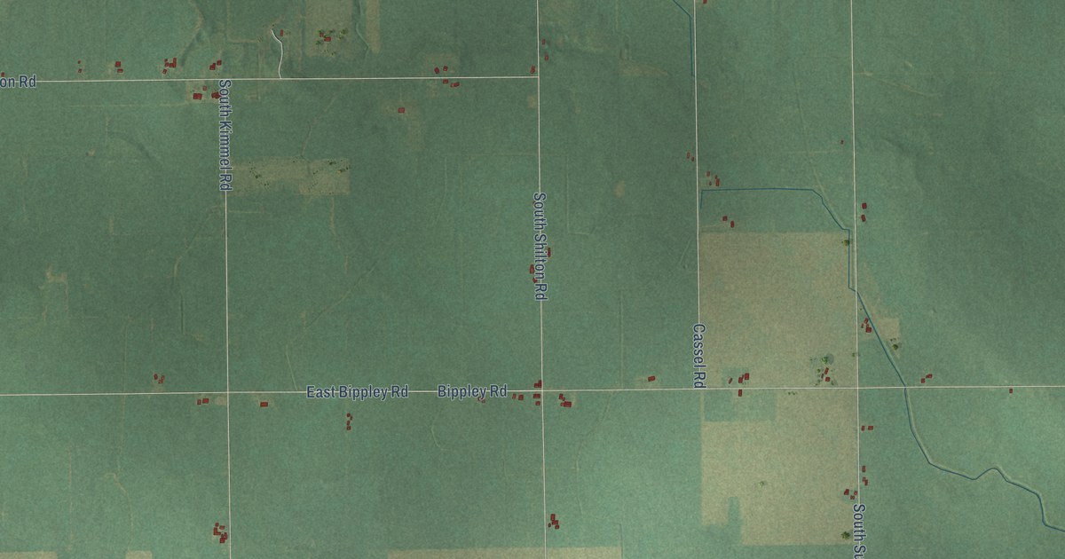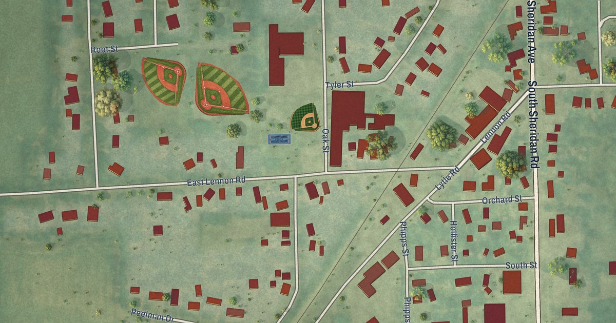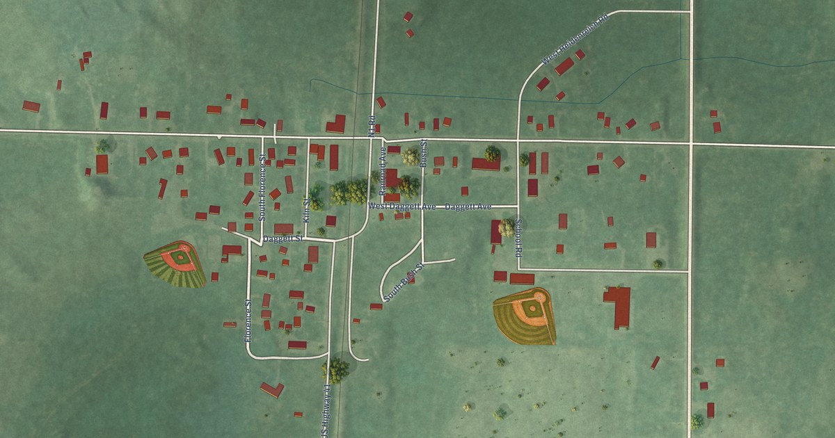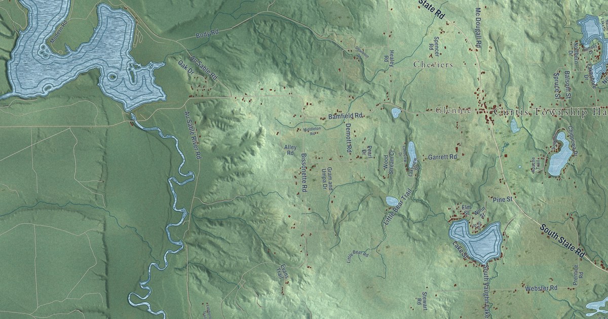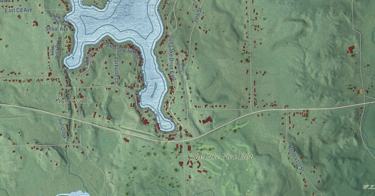
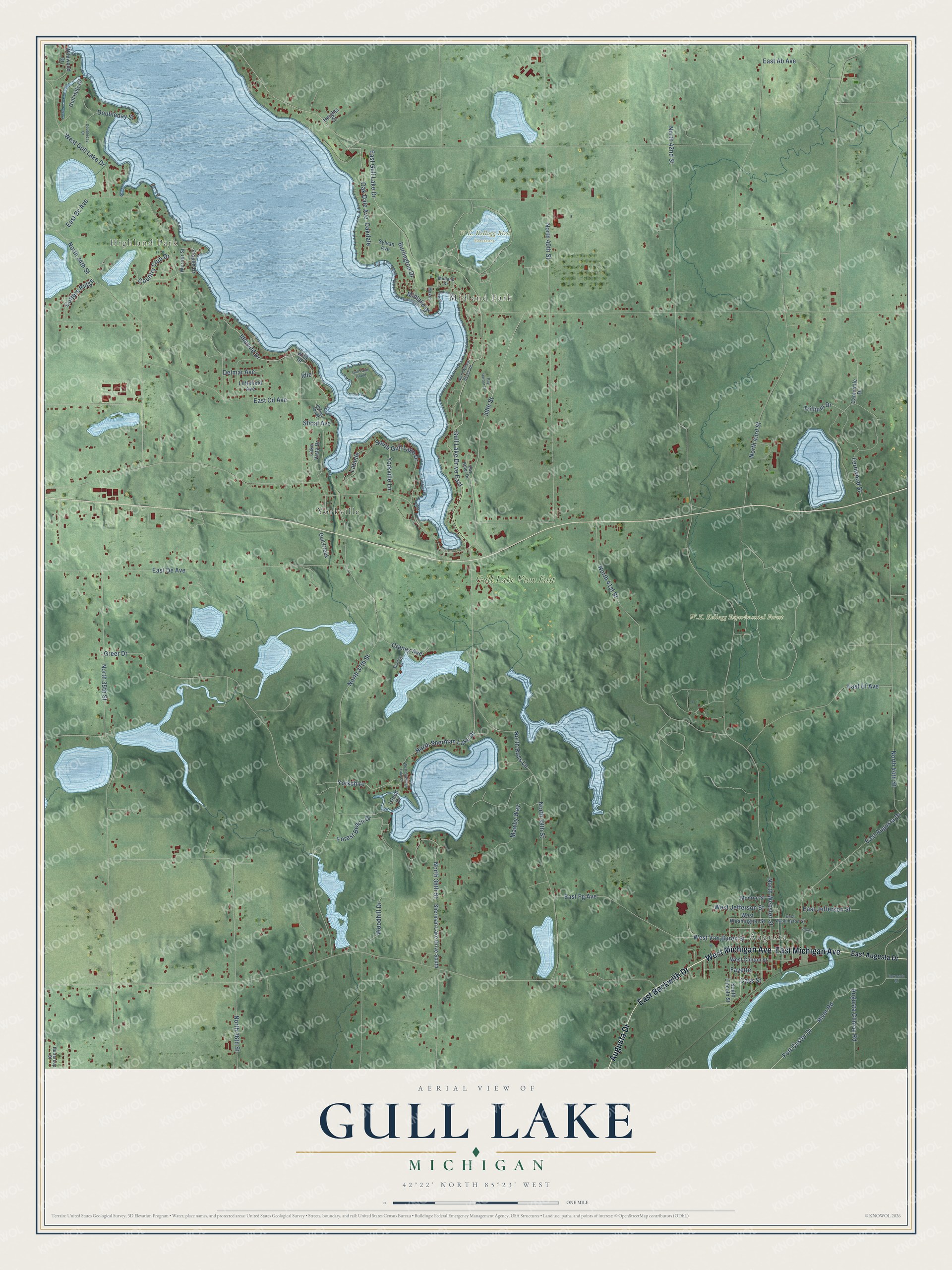
This beautifully detailed map of Gull Lake, Michigan was created in 2026 using aerial imagery combined with modern topographical, census, street and landmark data. It’s a one-of-a-kind view of Gull Lake that combines accurate data with a vintage aesthetic. The map shows every building in its true location, many of the roads carry their names, and the shaded topographic relief shows the shape of the land.
Explore an aerial view of Gull Lake, Michigan
On the map you’ll find Highland Park, Midland Park, Augusta, Yorkville, Gull Lake View East, and Yorkshire, along with Augusta Drive, West Michigan Avenue, East Michigan Avenue, East Beckwith Drive, North Webster Street, Burlington Drive, and more. If you look closely you can even find your house accurately drawn in its correct location. Zoom in on the preview to look for yours.
Did You Know?
From Internet Archive: "The Cook road extended from the base-line, in the vicinity of Jones' Mill, situated on the outlet of Long Lake, northeast around Gull Lake, and thence east through sections 31 and 32, in Barry township."
Gull Lake is a community in Kalamazoo County.
Take a closer look at the Gull Lake map
Names on this map
These names are printed on this map.
Places: Highland Park, Midland Park, W.K. Kellogg Bird Sanctuary, W.K. Kellogg Experimental Forest, Augusta, Yorkville and Gull Lake View East.
Streets and roads: Augusta Drive, West Michigan Avenue, East Michigan Avenue, East Beckwith Drive, Gull Lake Drive East, North Webster Street, Burlington Drive, Yorkshire, North 38th Street, 39th Street, North 37th Street, West Van Buren Street.
More street names, A to Z
Augusta Climax Road, Bay Arbor Drive, Bay Harbor Drive, Buttercup Street, Camomile Drive, Cass Street, Convis, Cotters Ridge, Country Club Drive, Cranes Avenue, Delmar Avenue, Doubleday Drive, Doubleday Street, East Ab Avenue, East Augusta Drive, East Bc Avenue, East Cd Avenue, East De Avenue, East Ef Avenue, East Fg Avenue, East Gull Lake Drive, East Jefferson Street, East Washington Street, Fayette, Fernwood Street, Forest Beach Drive, Fort Custer Drive, Fraulin Drive, Greer Drive, Gull Creek, Gull Hills Drive, Gull Lake Island, Harmonia Road, Heights Drive, Idle, Idlewild Drive, Indian Point, Island Drive, Labelle, Lake Vista Drive, Littlefield Avenue, Makin, Mawby Way, Midlake Drive, Midland Drive, Monroe Street, North 34th Street, North 35th Street, North 36th Street, North 39th Street, North 40th Street, North 41st Street, North 42nd Street, North 43rd Street, North 44th Street, North Ross Lane, North Sherman Lake Drive, North Willow Beach Road, Oakdale, Oak Dale Avenue, River Road, Sherman Lake Drive South, Shoal Avenue, South Gull Lake Drive, South Lincoln Street, Spurline Street, Sylvan Avenue, Trillium Drive, Werner Street, West Clinton Street, West Gull Lake Drive, West Jefferson Street, West Sherman Lake Drive, West Washington Street, Wild Drive, Wildwood Drive, Woodhill Drive, Yorkville Lane.
See it on a wall
The Gull Lake map as a framed print. Swipe for more.


This beautifully detailed map of Gull Lake makes an attractive addition to your office, library, or den, and it can even be used to teach children the geography and history of the area. It also makes a great gift for anyone with Gull Lake roots. When you’re done exploring, click here to get your copy of the Gull Lake map.