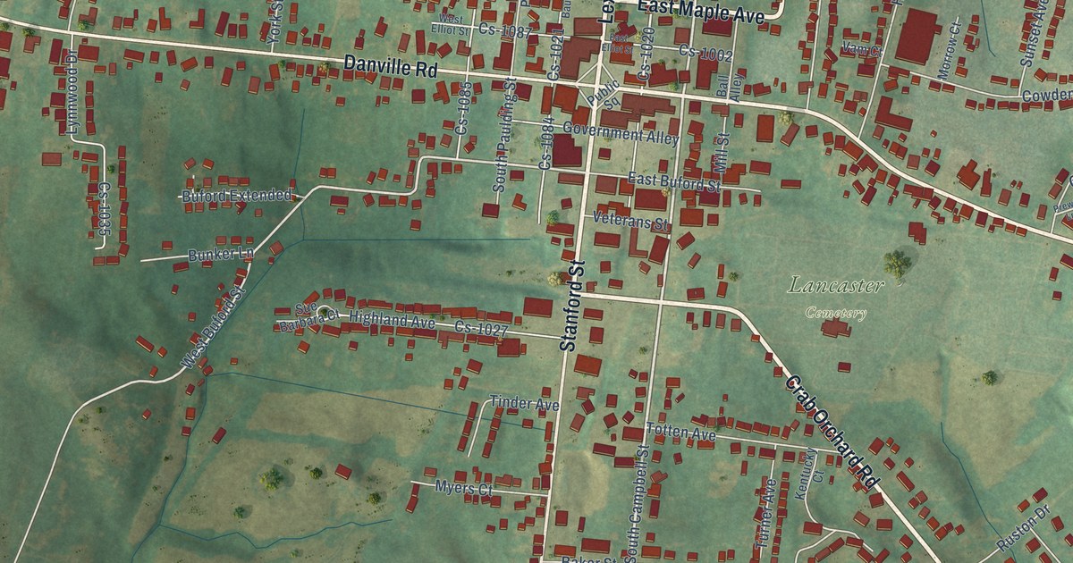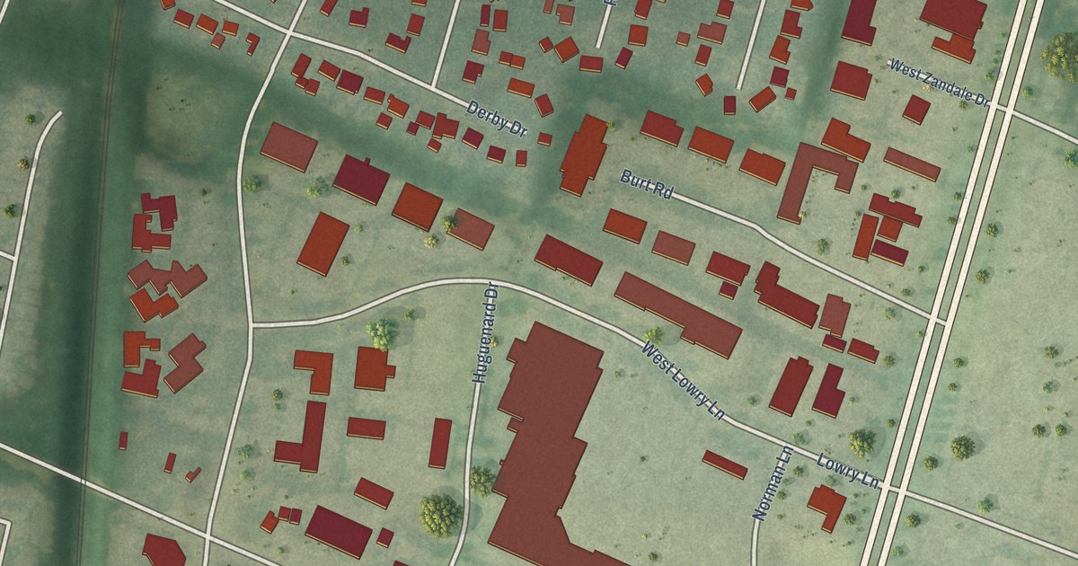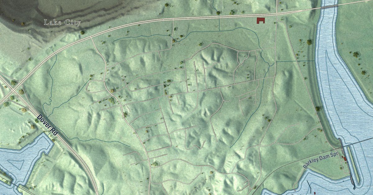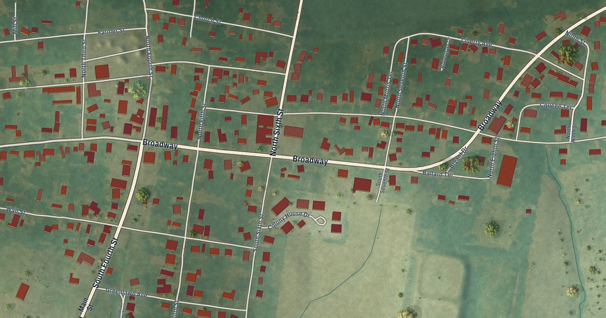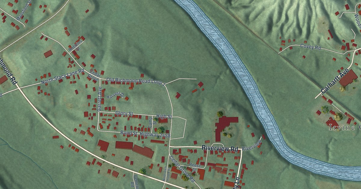
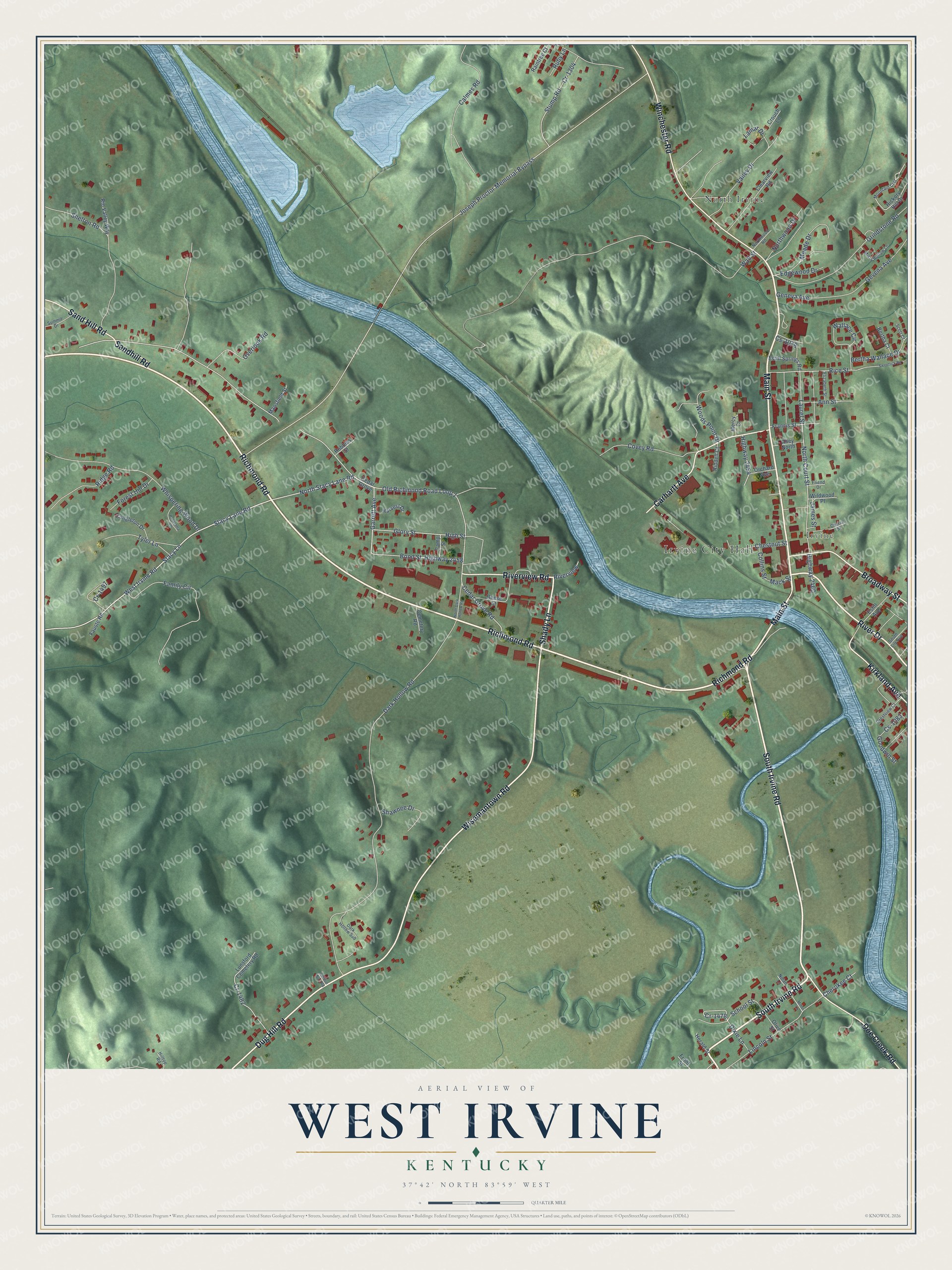
This beautifully detailed map of West Irvine, Kentucky was created in 2026 using aerial imagery combined with modern topographical, census, street and landmark data. It’s a one-of-a-kind view of West Irvine that combines accurate data with a vintage aesthetic. The map shows every building in its true location, many of the roads carry their names, and the shaded topographic relief shows the shape of the land.
Explore an aerial view of West Irvine, Kentucky
On the map you’ll find Irvine City Hall, Irvine, and North Irvine, along with Richmond Road, South Irvine Road, Main Street, Shady Lane, Wisemantown Road, Winchester Road, Dug Hill Road, Carhartt Avenue, River Drive, and more. If you look closely you can even find your house accurately drawn in its correct location. Zoom in on the preview to look for yours.
Take a closer look at the West Irvine map
Names on this map
These names are printed on this map.
Places: Irvine City Hall, Irvine and North Irvine.
Streets and roads: Richmond Road, South Irvine Road, Main Street, Shady Lane, Wisemantown Road, Winchester Road, Dug Hill Road, Carhartt Avenue, River Drive, Broadway Street, Doe Creek Road, Riverview Road.
More street names, A to Z
Alley North, Ann Street, Bertha Court, Bertha Wallace Drive, Bond Street, Calmes Road, Camp Street, Cedar Grove, Cedar Grove Road, Cemetery Road, Cherokee Court, Chestnut Street, Church Street, Clearview Road, Collins Street, Congleton Drive, Covey Road, Cr-1304, Cr-1457, Cr-1478, Cr-1482, Crestview Court, Crouch Lane, Cs-1078, Cs-1083, Dark Hollow Road, Dark Hollow Sub, Dixie Lane, Edgewood Drive, Elizabeth Street, Estill Avenue, Estill Springs Road, Family Circle, Fauste Road, Forest Hill Drive, Francis Street, Friend Drive, Front Street, Garrett Avenue, Geneva Avenue, Gevena Avenue, Glory Street, Goodwin Street, Gordon No 2 Road, Grindstone Road, Harvest Drive, Herald Street, Hickory Hill Drive, High Street, Highway 2454, Highway 2458, Highway 2460, Hilltop Road, James Street, Joseph Proctor Memorial Bypass, Kirkland Avenue, Lamar Drive, Laurel Street, Lincoln Street, Lunsford Cemetery Road, Mack Street, Mansfield Street, Meade Drive, Mercy Court, Minor Lane, Misty Hollow Lane, Mountain Crst, Nolan Lane, North Court Street, North Dark Hollow Road, North Stacy Lane Road, Northwood Drive, Northwood Road, Old Richmond Road Loop 1, Olive Street, Orchard Avenue, Overlook Road, Panarama Vw, Raintree Court, Reese Street, Rice Street, Riddell Court, Ridge Road, Rio Valley Way, Riverview, Robbins Street, Ruby Lane, Sand Hill Road, Sandhill Road, School Street, Scott Court, Shawnee Drive, Shelton Road, South Lily Avenue, Stacy Lane, Stacy Lane Road, Stump Road, Summit Drive, Sweetlick Road, Tyler Lane, Valley Drive, Wallace Circle, Wall Street, West Irvine Road, Whispering Wood Drive, Wildwood Place, Woods Point Drive.
See it on a wall
The West Irvine map as a framed print. Swipe for more.


This beautifully detailed map of West Irvine makes an attractive addition to your office, library, or den, and it can even be used to teach children the geography and history of the area. It also makes a great gift for anyone with West Irvine roots. When you’re done exploring, click here to get your copy of the West Irvine map.