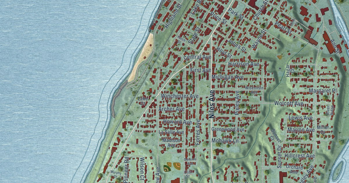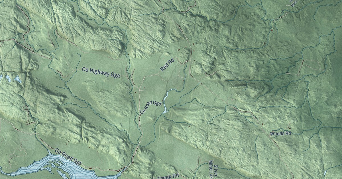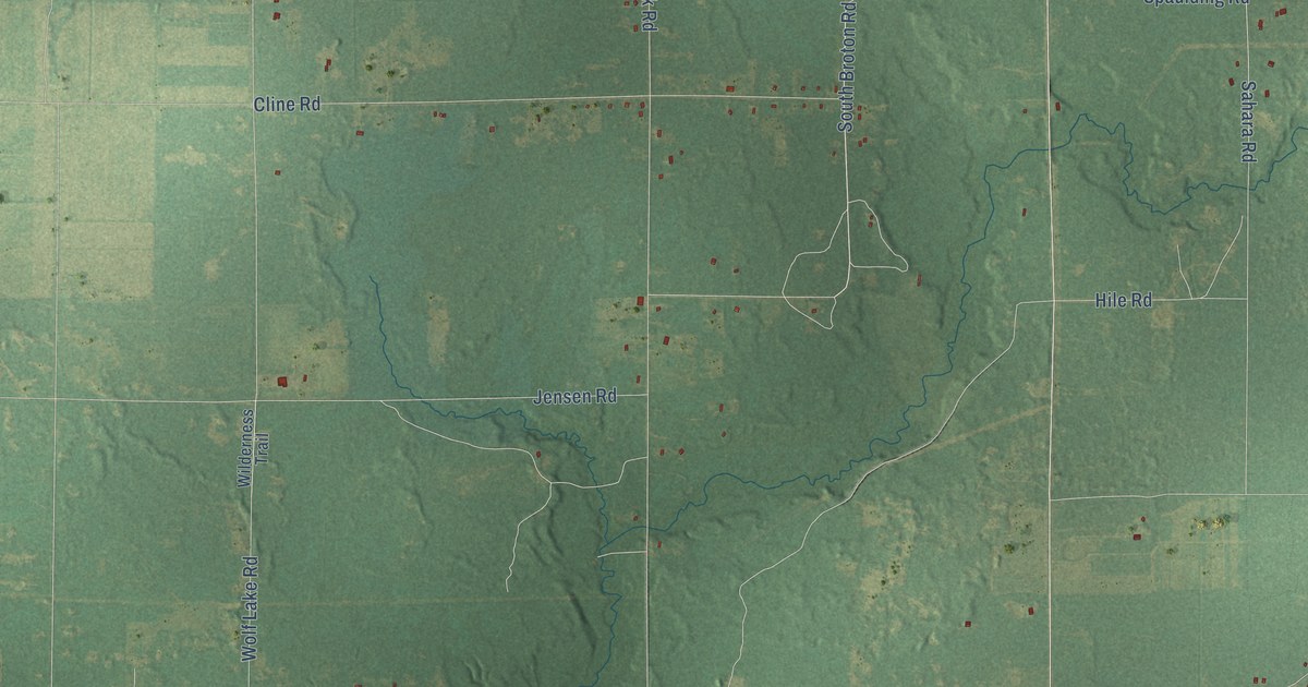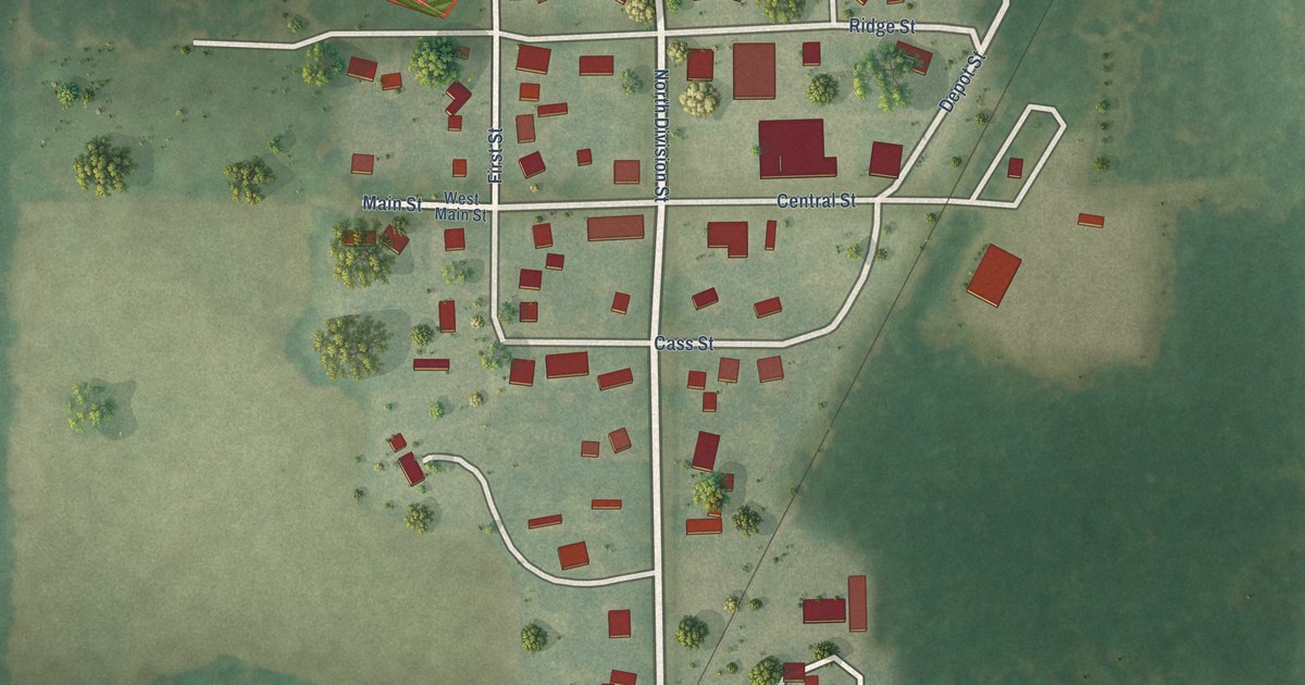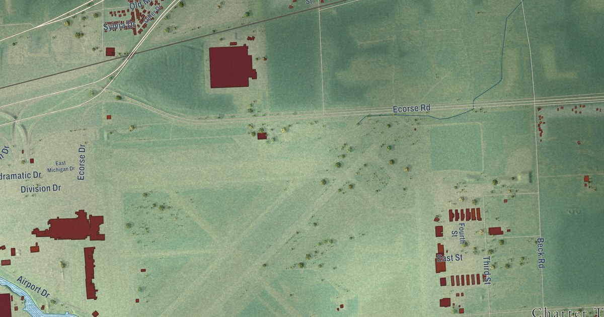
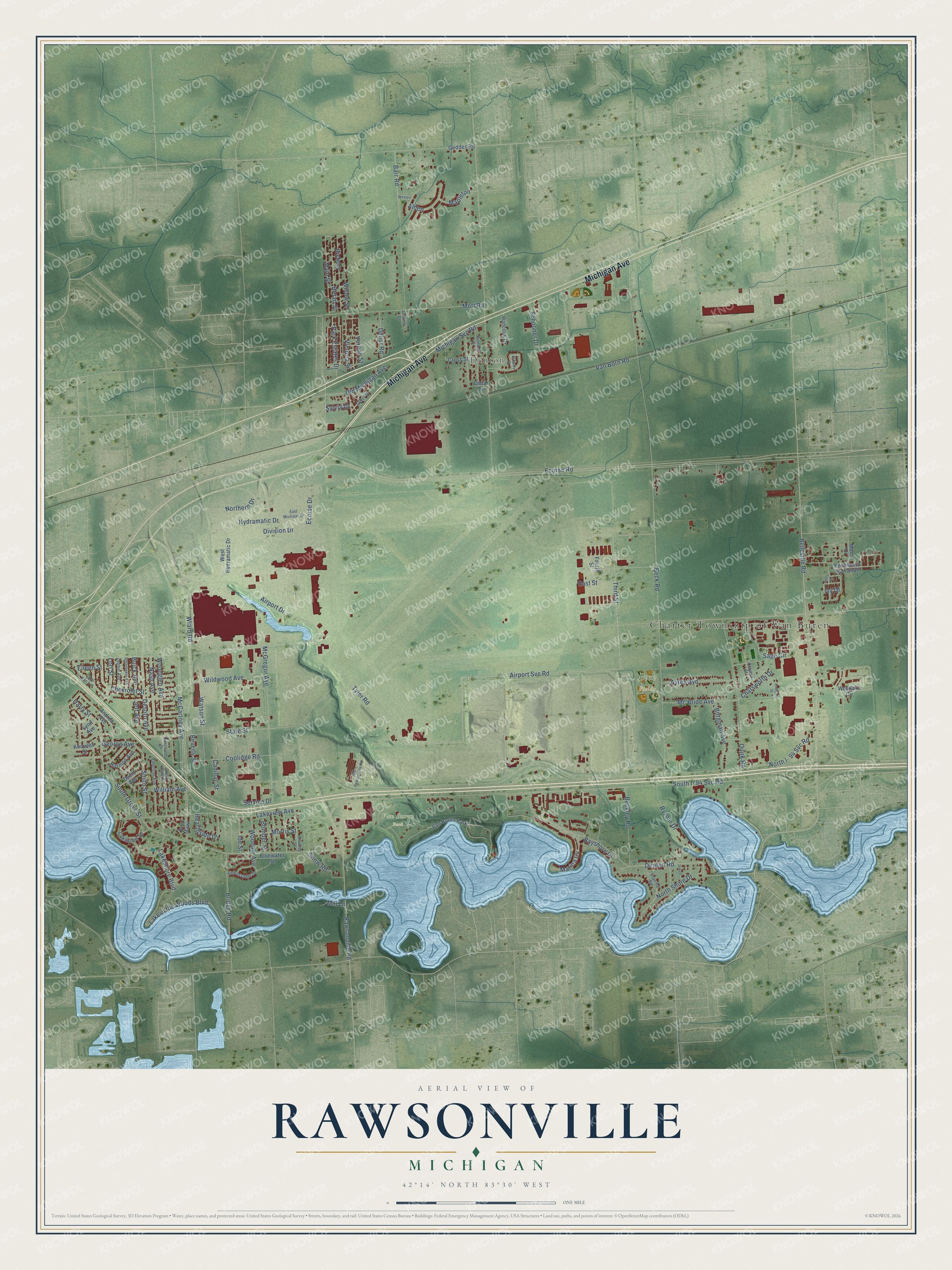
This beautifully detailed map of Rawsonville, Michigan was created in 2026 using aerial imagery combined with modern topographical, census, street and landmark data. It’s a one-of-a-kind view of Rawsonville that combines accurate data with a vintage aesthetic. The map shows every building in its true location, many of the roads carry their names, and the shaded topographic relief shows the shape of the land.
Explore an aerial view of Rawsonville, Michigan
On the map you’ll find Charter Township of Van Buren, Beck Fields, Van Buren Park, and Denton, along with Michigan Avenue, Belleville Road, Rawsonville Road, Airport Svc Road, Sage Circle, Desoto Avenue, Ecorse Road, Denton Road, and more. If you look closely you can even find your house accurately drawn in its correct location. Zoom in on the preview to look for yours.
Did You Know?
From Internet Archive: "Stanley who now lives just south of Rawsonville, came to Michigan in Oct., 1883, from western New York, and settled on the farm where he now resides."
Rawsonville is a community in Washtenaw County.
Take a closer look at the Rawsonville map
Names on this map
These names are printed on this map.
Places: Charter Township of Van Buren, Beck Fields, Van Buren Park and Denton.
Streets and roads: Michigan Avenue, Belleville Road, Rawsonville Road, Airport Svc Road, Sage Circle, Desoto Avenue, Ecorse Road, Denton Road, Third Street, George Avenue, Tyler Road, Wiard Road.
More street names, A to Z
Airport Drive, Alden, Ambassador Drive, Andrea Avenue, Ashbury Drive, Ayres Avenue, Barr Road, Bayshore Drive, Beckley Road, Beck Road, Beverly Street, Bluewater Street, Bomber Street, Borgman Avenue, Bradley Street, Bridge Road, Broad Street, Bryn Mawr, Buick Avenue, Cadillac Street, Carol Ann Avenue, Cedar Street, Chatsworth Drive, Chevrolet Street, Clayton Street, Coolidge Road, Cross Street, David Avenue, Dellor Road, Division Drive, East Michigan Drive, East Street, Ecorse Drive, Eileen Street, Emerson Avenue, Endicott Street, Fourth Street, Geddes Road, Gilmore Street, Hancock Drive, Harmon Avenue, Harry Street, Hearthside Drive, Hickory, Holly Lane, Hydramatic Drive, Ide Street, Ivy Drive, Jeff Avenue, Jewell, Justine Street, Knowles Street, Lake in the Woods Boulevard, Lakeshore Boulevard, Lakeview Avenue, Lakeview Drive, Lori Street, Lynn Avenue, Main Street, Mapleton, Marina Cv, Mc Bride Avenue, McCartney Avenue, McGregor Avenue, Michigan Svc Road, Mill Lane, Moms Drive, Morris Street, Mott Road, Nash Avenue, Northern Drive, North I- 94 Svc Road, North Shore Drive, Old Michigan Avenue, Old Rawsonville Road, Outer Drive, Outer Lane Drive, Outerlane Drive, Park Estates Drive, Ponderosa Trail South, Quirk Road, Ryznar Drive, Schooner Drive, Service Drive, Smith Street, Snow Road, South Grove Street, South I- 94 Svc Road, Stanley Road, State Street, Studebaker Avenue, Sylvia Drive, Van Born Road, Vernon Street, Victoria Street, Watson Street, West Hydramatic Drive, Westlake Circle, Weston, Wildwood Avenue, William Avenue, Willow Street, Woodale Avenue, Woodglen Avenue, Zephyr Avenue.
See it on a wall
The Rawsonville map as a framed print. Swipe for more.


This beautifully detailed map of Rawsonville makes an attractive addition to your office, library, or den, and it can even be used to teach children the geography and history of the area. It also makes a great gift for someone who left Rawsonville and still calls it home. When you’re done exploring, click here to get your copy of the Rawsonville map.