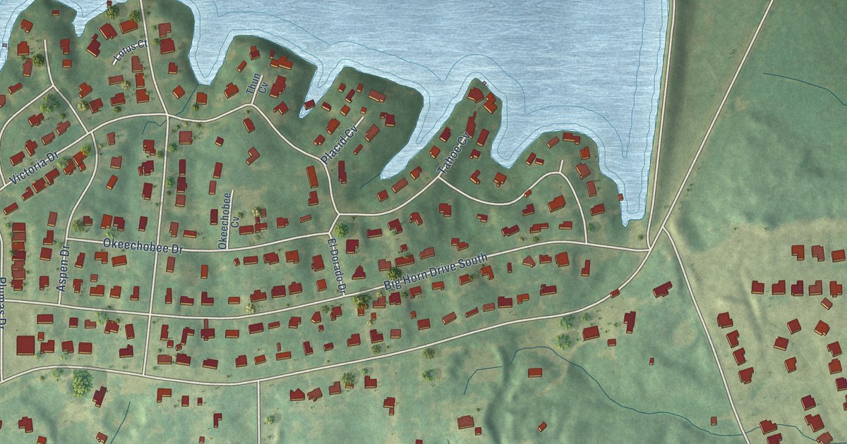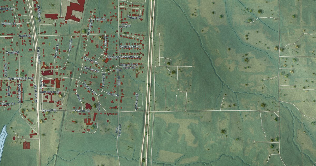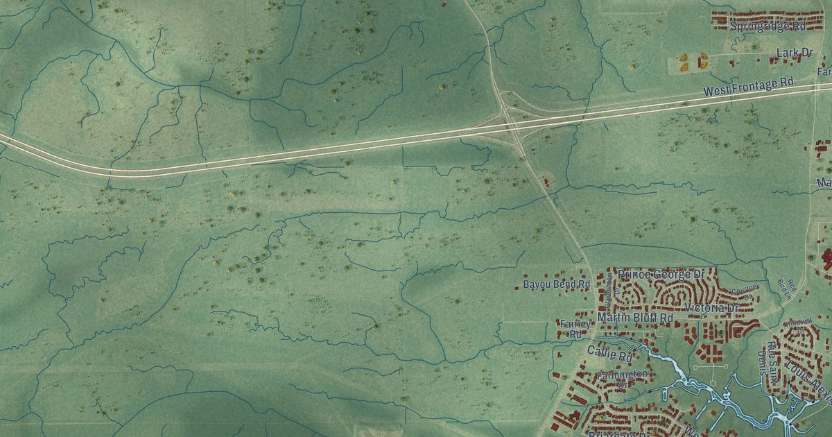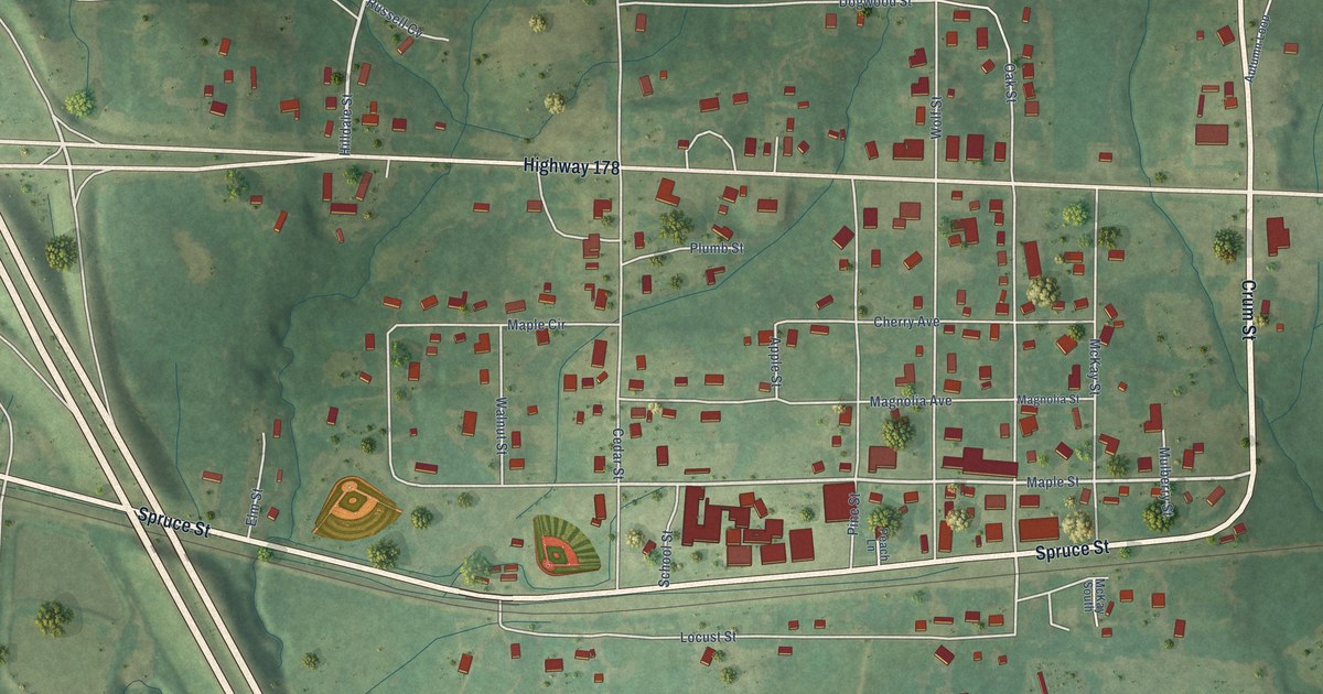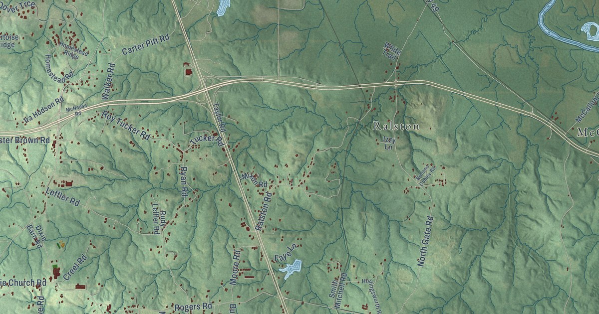
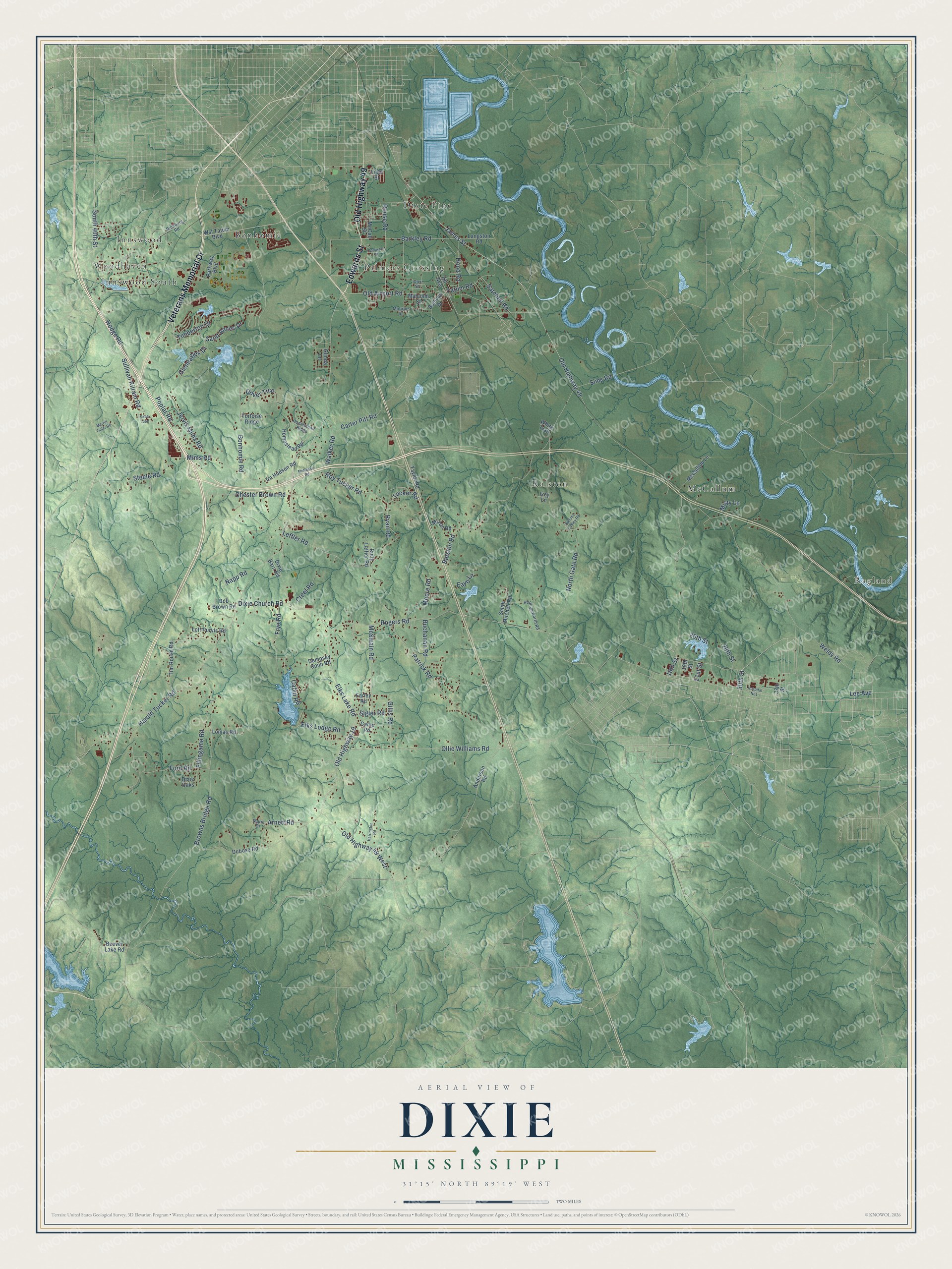
This beautifully detailed map of Dixie, Mississippi was created in 2026 using aerial imagery combined with modern topographical, census, street and landmark data. It’s a one-of-a-kind view of Dixie that combines accurate data with a vintage aesthetic. The map shows every building in its true location, many of the roads carry their names, and the shaded topographic relief shows the shape of the land.
Explore an aerial view of Dixie, Mississippi
On the map you’ll find Ragland, Dixie Pine, Ralston, McCallum, Palmers Crossing, Woodhaven, Bonhomie, Innswood, and Innswood South, along with Edwards Street, Veterans Memorial Drive, Old Highway 49, and more. If you look closely you can even find your house accurately drawn in its correct location. Zoom in on the preview to look for yours.
Did You Know?
From Internet Archive: "The crime of the negroes, mulattoes, quadroons, and octoroons was endeavoring to escape from Dixie-land and the Iron Furnace of slavery, via the underground railroad."
Dixie is a community in Forrest County.
Take a closer look at the Dixie map
Names on this map
These names are printed on this map.
Places: Ragland, Dixie Pine, Ralston, McCallum, Palmers Crossing, Woodhaven, Bonhomie, Innswood and Innswood South.
Streets and roads: Edwards Street, Veterans Memorial Drive, Old Highway 49, 30th Street, Elks Lake Road, Old Highway 19, Old Airport Road, Roy Tucker Road, Old Highway 49 West, Jervis Mims Road, Dixie Church Road, James Street.
More street names, A to Z
16th Street, 19th Street, 21st Street, 26th Street, 28th Street, 37th Street, Anderson Road, Arnett Road, Att Avenue, Barkley Road, Beaver Lake Road, Bob Brown Road, Bonhomie Road, Breland Conley Road, Browns Bridge Road, Buchanan Road, Cabin Road, Camp Road, Carter Pitt Road, Chester Brown Road, Cox Street, Creel Road, Dempsey Conn Road, Dixie Barn Road, Dixie Oaks, Dover Trce, Dubose Road, Elks Lodge Road, Farley Road, Faye Lane, Fillingame Road, Ford Road, Frye Road, Gillis Road, Gleneagles Drive, Glinda Lane, Harold Tucker Road, Harrington Road, Hodge Road, Hollingsworth Road, Homestead Ridge, Homestead Road, Hood Road, Hospital No1, Ira Hudson Road, Izzy Lane, Johnston Street, Langston Road, Lee Avenue, Leffler Road, Lilac Street, Lomas Road, Lott Purvis Road, Malcolm Street, Marie Drive, McCall Street, McCallum Lane, McNease Road, McSwain Road, Merrill Fuller Road, Mims Road, Misty Lane, Mixon Road, Monroe Street, Moore Road, Napp Road, North Gate Road, Ollie Williams Road, Parkway Boulevard, Patrick Road, Poplar Road, Ralston Road, Richburg Road, Rogers Road, Rouse Road, Rudy Leffler Road, Ryan Road, Saba Loop, Saint Annes Drive, Satchell Road, Sigler Road, Sims Road, Smith Mitchell Road, South 40th Street, Steele Road, Sullivan Drive, Sullivan Kilrain Road, Tatum Road, Taylor Road, Timberton Drive, Tim Rouse Road, Tortoise Ridge, Tucker Road, Walker Road, Weldy Road, White Trail, Wsf Tatum Boulevard.
See it on a wall
The Dixie map as a framed print. Swipe for more.


This beautifully detailed map of Dixie makes an attractive addition to your office, library, or den, and it can even be used to teach children the geography and history of the area. It also makes a great gift for anyone with Dixie roots. When you’re done exploring, click here to get your copy of the Dixie map.