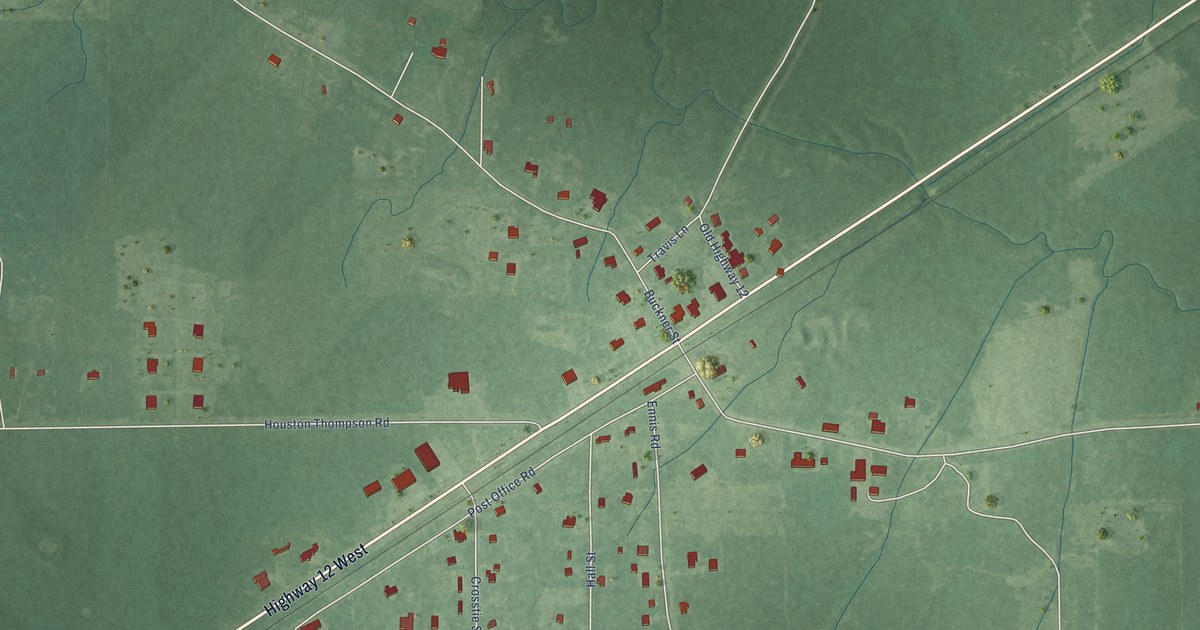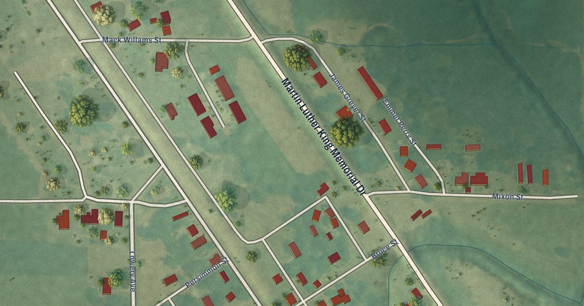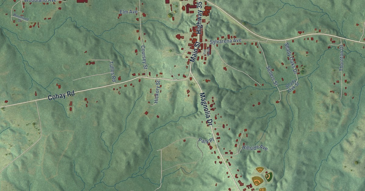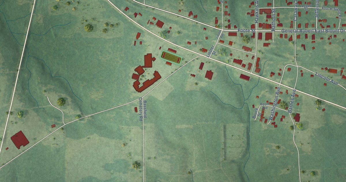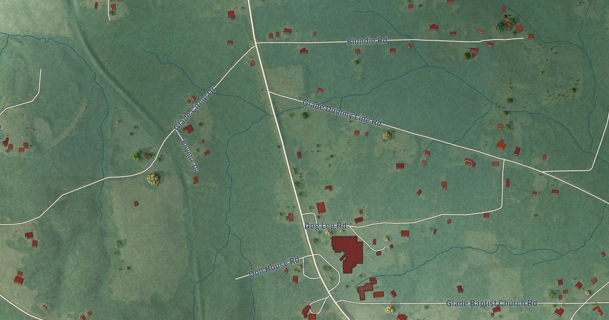
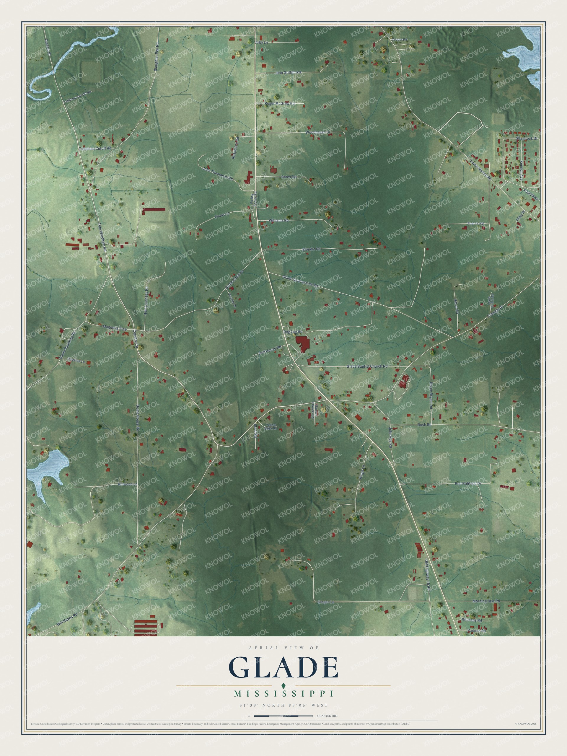
This beautifully detailed map of Glade, Mississippi was created in 2026 using aerial imagery combined with modern topographical, census, street and landmark data. It’s a one-of-a-kind view of Glade that combines accurate data with a vintage aesthetic. The map shows every building in its true location, many of the roads carry their names, and the shaded topographic relief shows the shape of the land.
Explore an aerial view of Glade, Mississippi
On the map you’ll find Lower Myrick Road, Tom Windham Road, Country Circle, Will Hayes Road, Triangle Drive, Glade Dummy Line Road, Dome House Road, Slaughter Pen Road, Ginger Lane, Glade Circle Drive, Shamrock Drive, Bush Road, and more. If you look closely you can even find your house accurately drawn in its correct location. Zoom in on the preview to look for yours.
Take a closer look at the Glade map
Names on this map
These names are printed on this map.
Streets and roads: Lower Myrick Road, Tom Windham Road, Country Circle, Will Hayes Road, Triangle Drive, Glade Dummy Line Road, Dome House Road, Slaughter Pen Road, Ginger Lane, Glade Circle Drive, Shamrock Drive, Bush Road.
More street names, A to Z
Arby Lane, Bates Road, Blondie Road, Bond Road, Boyette Drive, Bruce Bryant Road, Cooper Road, Custom Street, Dog Leg Road, Doll House Road, Evans Lane, Glade Baptist Church Road, Glade Paulding Road, Henry Lindsey Road, Hillwood Lane, Hilton Road, John Griffith Road, John Guy Road, John Thompson Road, Kennon Avenue, Kings Lane, Kitchens Road, Lewis Griffin Road, Magnolia Tree, Maurice Flowers Road, Morning Dew Road, Old Highway 15 Road, Parkers Road, Pineview Lane, Po Bay Cooley Road, Raspberry Road, Red Holifield Drive, Riley Drive, Roger McGraw Road, Tailahala Cut Off Road, Tallahala Cutoff Road, Theo's Road, Williams Road, Woodhaven Drive, Yellow Brick Road, Yost Parkway.
See it on a wall
The Glade map as a framed print. Swipe for more.


This beautifully detailed map of Glade makes an attractive addition to your office, library, or den, and it can even be used to teach children the geography and history of the area. It also makes a great gift for anyone who grew up in Glade or moved away. When you’re done exploring, click here to get your copy of the Glade map.