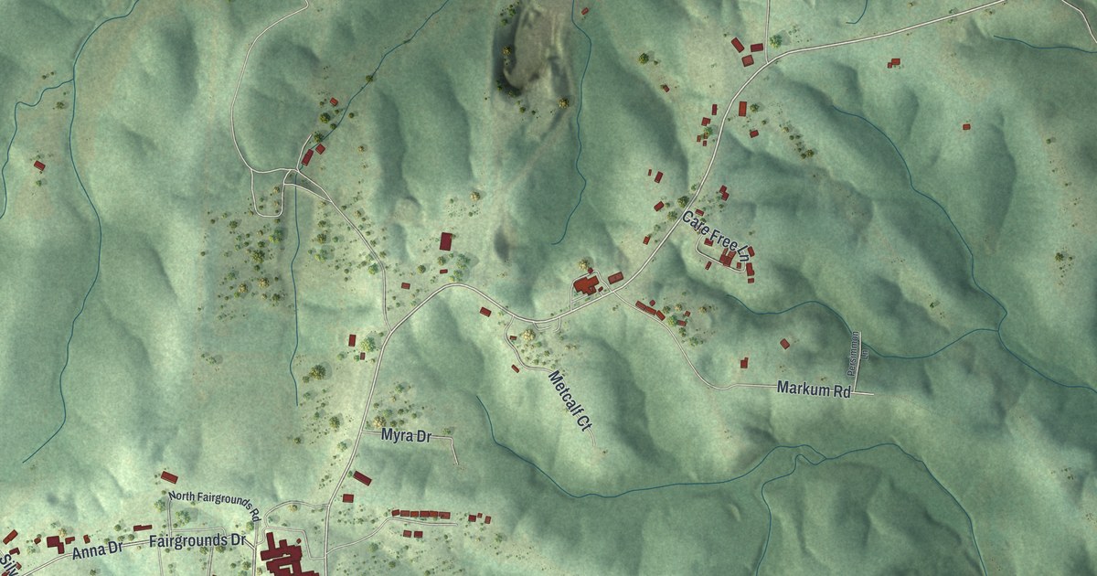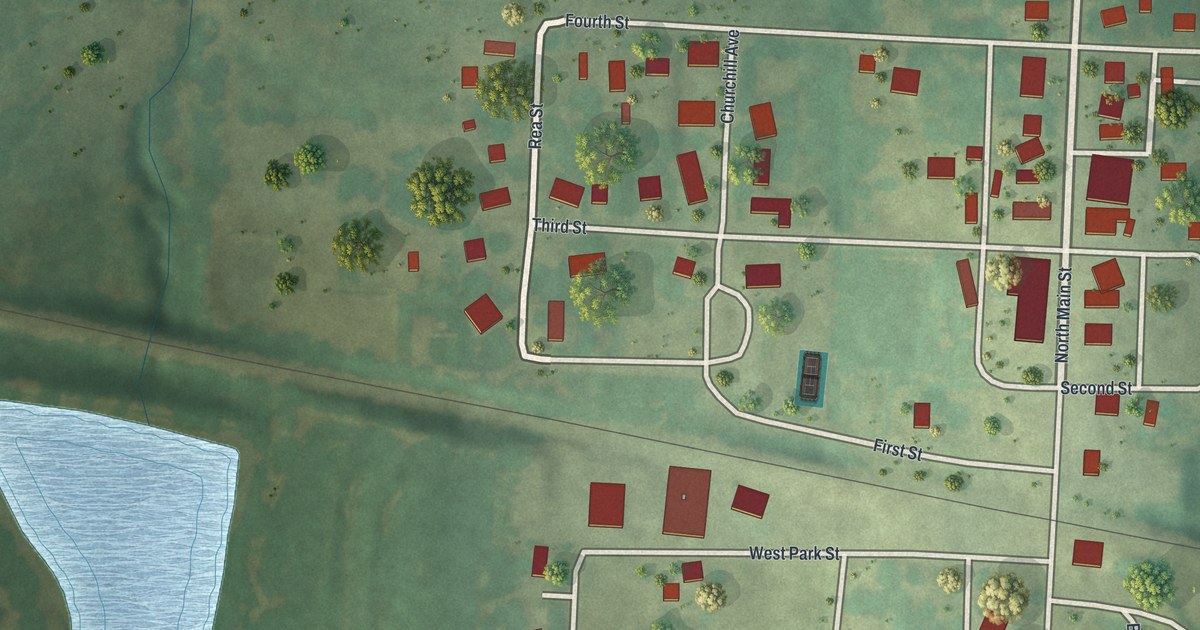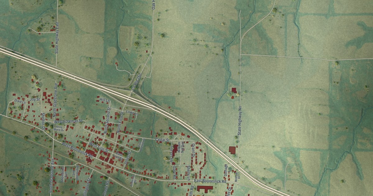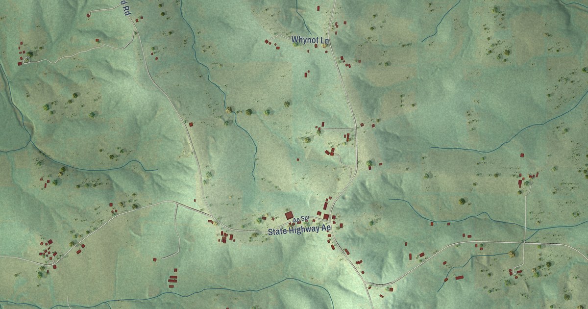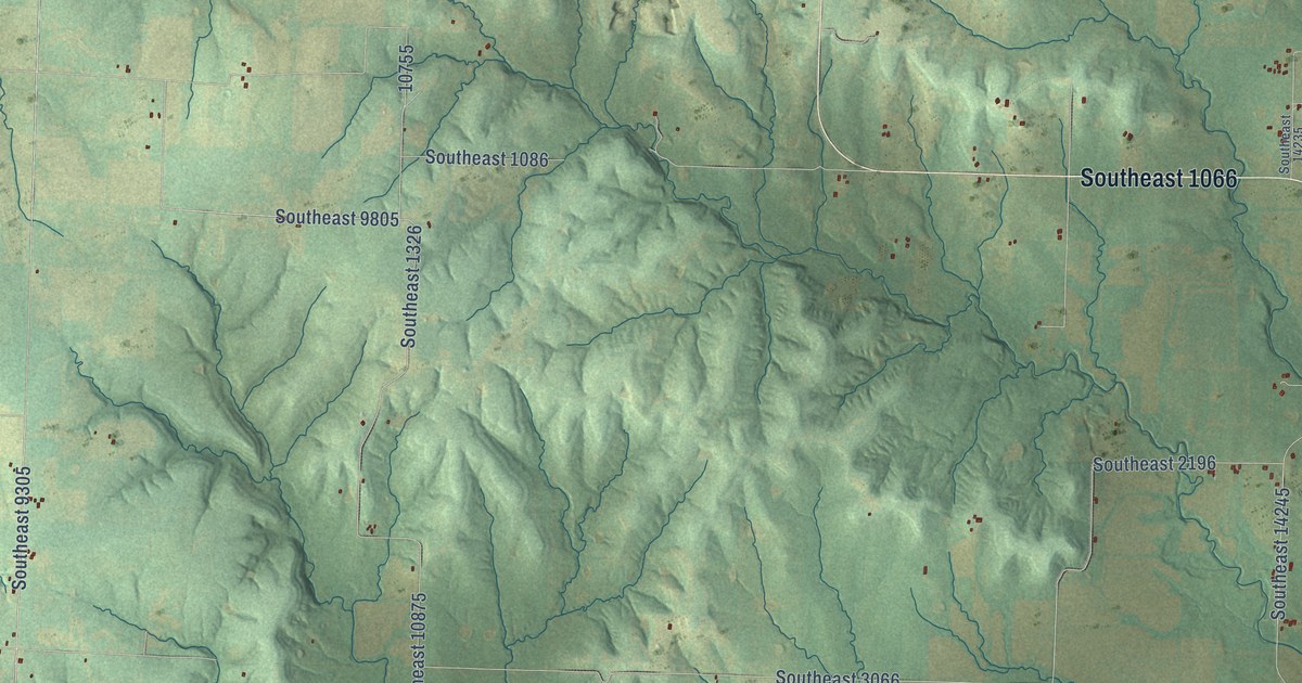
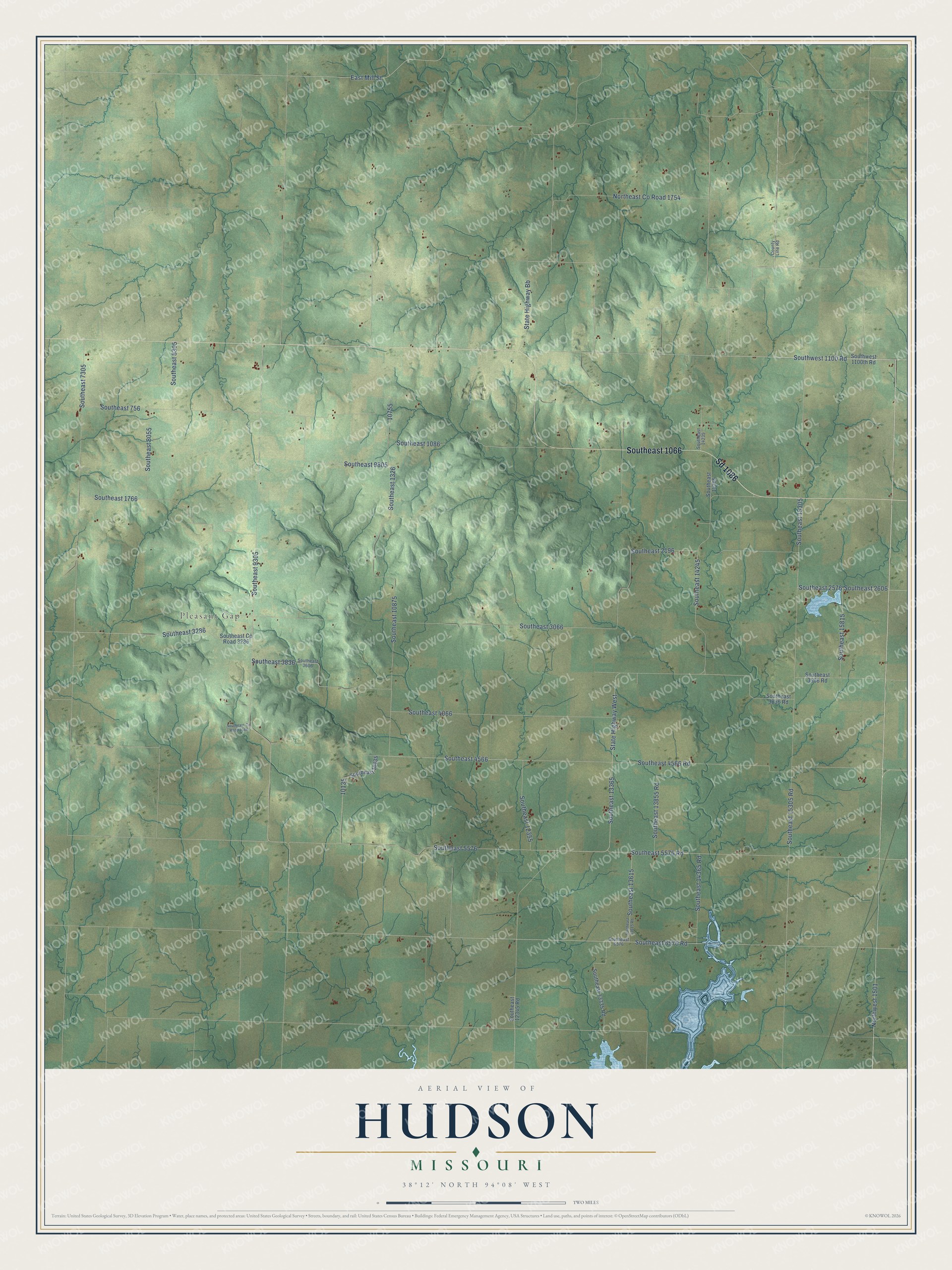
This beautifully detailed map of Hudson, Missouri was created in 2026 using aerial imagery combined with modern topographical, census, street and landmark data. It’s a one-of-a-kind view of Hudson that combines accurate data with a vintage aesthetic. The map shows every building in its true location, many of the roads carry their names, and the shaded topographic relief shows the shape of the land.
Explore an aerial view of Hudson, Missouri
On the map you’ll find Pleasant Gap, Southeast 1066, Sd 1086, Northwest 1501, Southeast 5576, Southeast 13615, Southeast 13365, Southeast 756, and Southeast 15815, along with Southwest 1100 Road, Southeast 6576 Road, Southeast 5576 Road, and more. If you look closely you can even find your house accurately drawn in its correct location. Zoom in on the preview to look for yours.
Did You Know?
From Internet Archive: "Like the early Spanish explorers, it is not certain where these men traveled, i. e., how far south and west they went These remarkable men later served England and founded the great Hudson Bay Company."
Hudson is a community in Bates County.
Take a closer look at the Hudson map
Names on this map
These names are printed on this map.
Places: Pleasant Gap.
Streets and roads: Southeast 1066, Sd 1086, Southwest 1100 Road, Southeast 6576 Road, Northwest 1501, Southeast 5576 Road, Southeast 5576, Southeast 13615, Southeast 13365, Southeast 756, Southeast 15815, Southeast 9805.
More street names, A to Z
County Line Road, East Mill Street, Northeast County Road 1754, Southeast 1086, Southeast 1326, Southeast 1766, Southeast 2196, Southeast 2576, Southeast 2606, Southeast 3066, Southeast 3286, Southeast 3586 Road, Southeast 3606, Southeast 3836, Southeast 3836 Road, Southeast 4066, Southeast 4566, Southeast 4566 Road, Southeast 6576, Southeast 7305, Southeast 8055, Southeast 8305, Southeast 9305, Southeast 10135, Southeast 10875, Southeast 12345 Road, Southeast 12355, Southeast 13335 Road, Southeast 13615 Road, Southeast 13855 Road, Southeast 14235, Southeast 14245, Southeast 14365, Southeast 14365 Road, Southeast 15305, Southeast 15305 Road, Southeast County Road 3286, Southeast County Road 4366, Southwest 1100th Road, State Highway Bb, State Highway West.
See it on a wall
The Hudson map as a framed print. Swipe for more.


This beautifully detailed map of Hudson makes an attractive addition to your office, library, or den, and it can even be used to teach children the geography and history of the area. It also makes a great gift for anyone who grew up in Hudson or moved away. When you’re done exploring, click here to get your copy of the Hudson map.