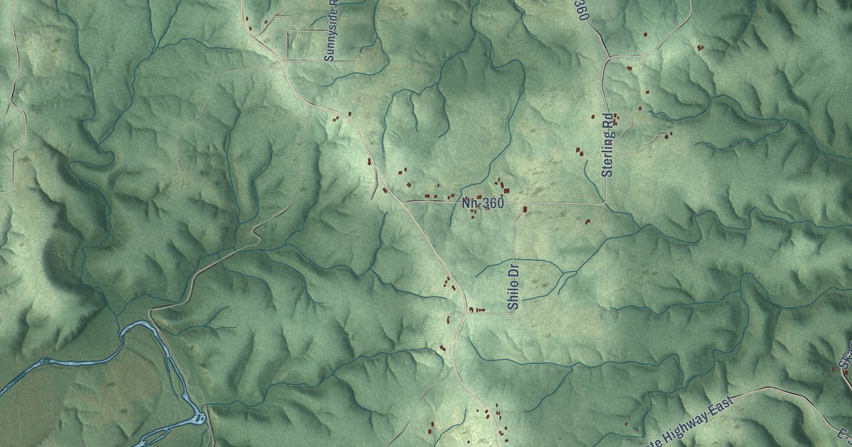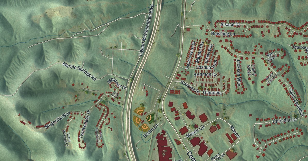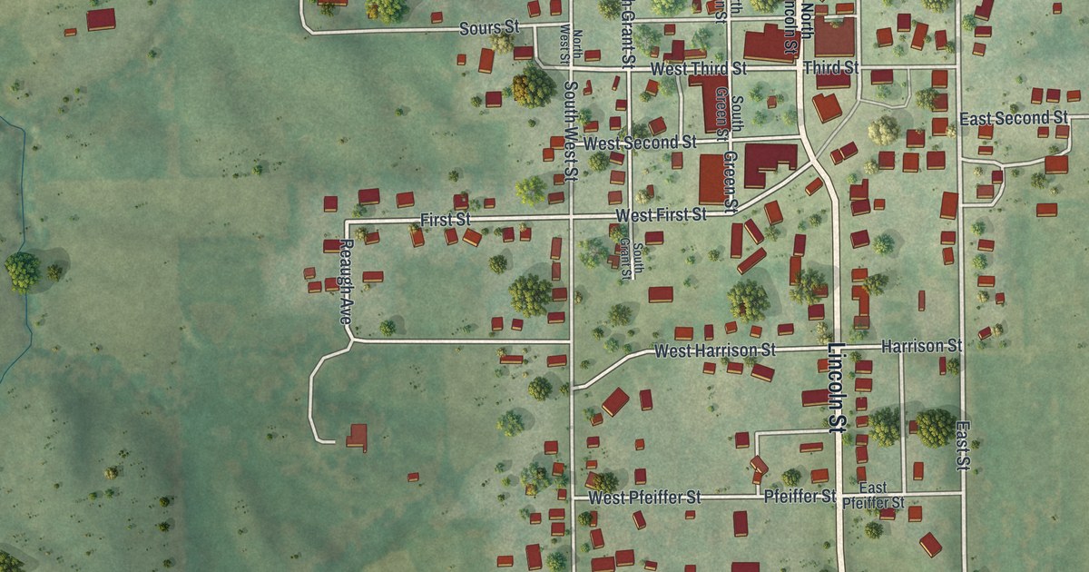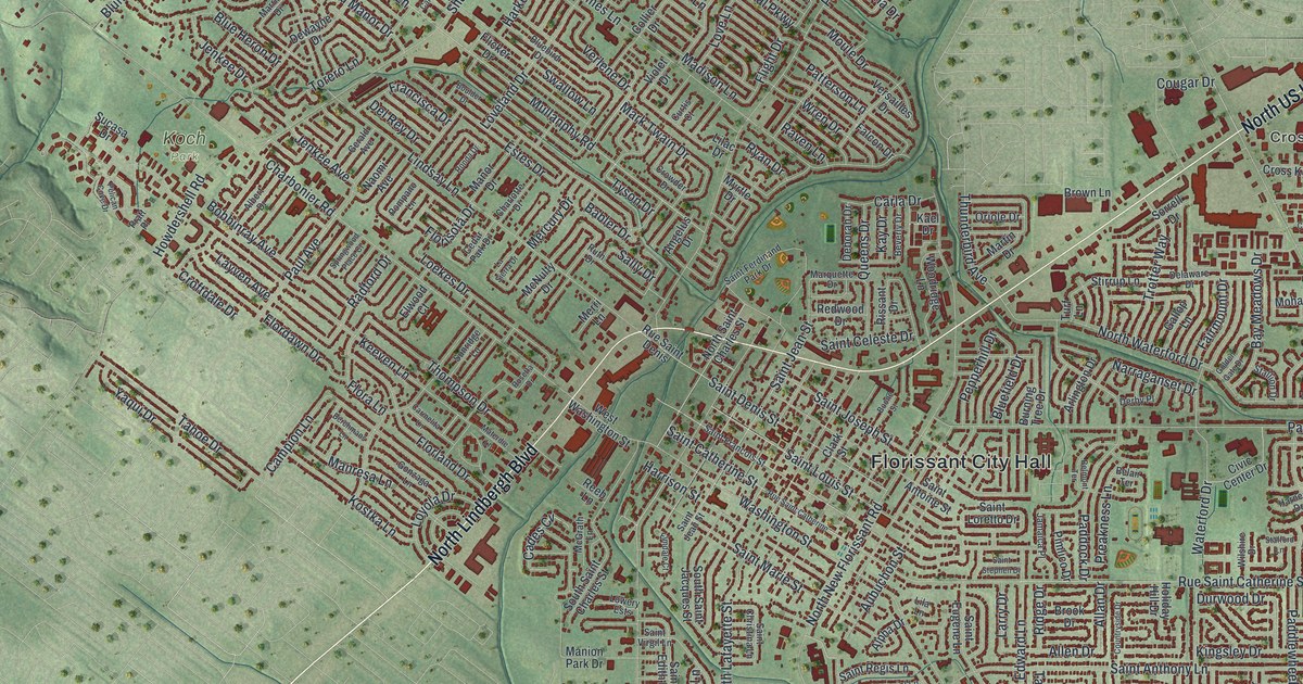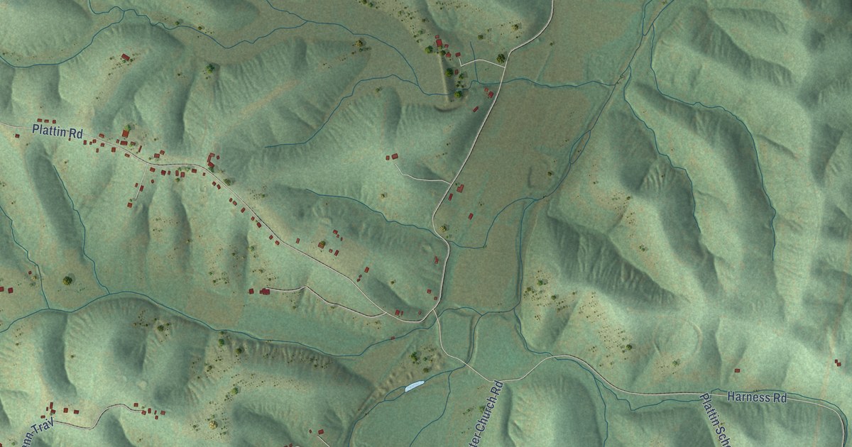
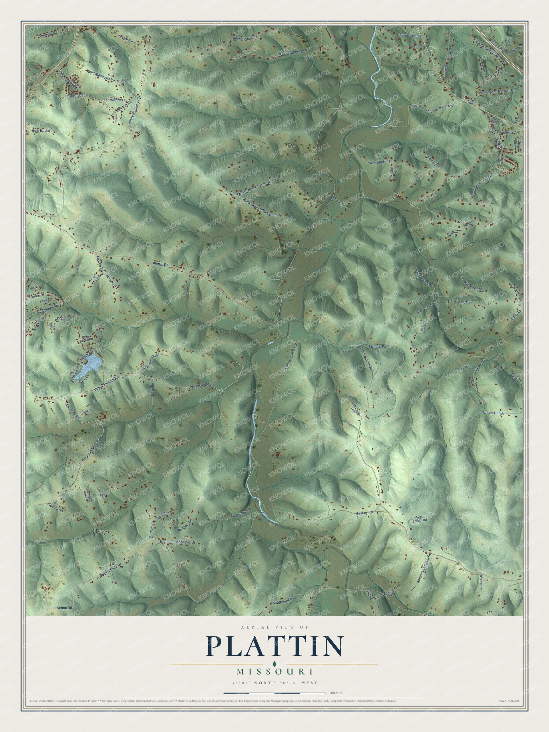
This beautifully detailed map of Plattin, Missouri was created in 2026 using aerial imagery combined with modern topographical, census, street and landmark data. It’s a one-of-a-kind view of Plattin that combines accurate data with a vintage aesthetic. The map shows every building in its true location, many of the roads carry their names, and the shaded topographic relief shows the shape of the land.
Explore an aerial view of Plattin, Missouri
On the map you’ll find Flucom, along with Wegman Road, Lifestyle Court, Upper Flucom Road, Flucom School Road, Canepa Estates Road, Lee Pyle Road, Boreas Drive, McKee Road, Selma Road, Plattin Road, Plattin School Road, and more. If you look closely you can even find your house accurately drawn in its correct location. Zoom in on the preview to look for yours.
Did You Know?
From Internet Archive: "Other early settlers in the county besides tliose mentioned, were Peter McCormack who settled on the Plattin in 1802, James Head, who built a cabin near House's spring in 1805."
Plattin is a community in Jefferson County.
Take a closer look at the Plattin map
Names on this map
These names are printed on this map.
Places: Flucom.
Streets and roads: Wegman Road, Lifestyle Court, Upper Flucom Road, Flucom School Road, Canepa Estates Road, Lee Pyle Road, Boreas Drive, McKee Road, Selma Road, Plattin Road, Plattin School Road, Charter Church Road.
More street names, A to Z
Aberdeen, American Legion Road, Barrington Place, Benson Road, Big Valley Road, Boyce Lane, Brenda Drive, Bridle Ridge Road, Bridlewood, Brighton Place, Caneda Place, Canepa Road, Castle Acres, Circle Drive, Country Lane, Coventry Place, Emily Lane, Eva Way, Fawn Meadow Road, Flucom Road, Furaway Lane, Gate Road, Glass Workers Country Club Road, Harness Road, Haverstick Road, Hellespont Drive, High Hill Lane, Highland Meadows Drive, Howe Crossing, Huntington Trails Road, Huskey Road, Jester Drive, Kensington Place, Kronos Drive, Lakeview Drive, Little Valley Road, Maple Ridge Road, Mc Carty Road, Mc Kee Road, Meadow Lane, Meredith Drive, Meyer Road, Montauk Drive, Morgan Lake Road, Morgan Vw, North Selma Drive, North Woods, Oakland Hill Drive, Oakland Woods, Oak Ridge Trail, Outer Road, Paulanna Est, Phidias Place, Platten School Road, Plattin View Drive, Plutus Place, Poncet Road, Remington Road, Rock North Horse Farms Drive, Rock North Horse South Drive, Scheidle Lane, Selma Farm Lane, Selma Heights, Silo Road, Sirius Road, Somerset Place, South Ridge, Spiker Drive, Spiker Lane, State Highway CC, State Highway Tt, Sugar Springs Road, Victoria Heights, Victoria Road, Waldon Lane, Wegmann Trail, West Meadows Court, West Meadows Road, Wild Deer Drive, Wild Lake Lane, Wild Raven Road, Wilson Hill Drive, Wilson Hill Road, Wimbledon Estates Drive, Windy Hill Road, Zeus Place.
See it on a wall
The Plattin map as a framed print. Swipe for more.


This beautifully detailed map of Plattin makes an attractive addition to your office, library, or den, and it can even be used to teach children the geography and history of the area. It also makes a great gift for someone who left Plattin and still calls it home. When you’re done exploring, click here to get your copy of the Plattin map.