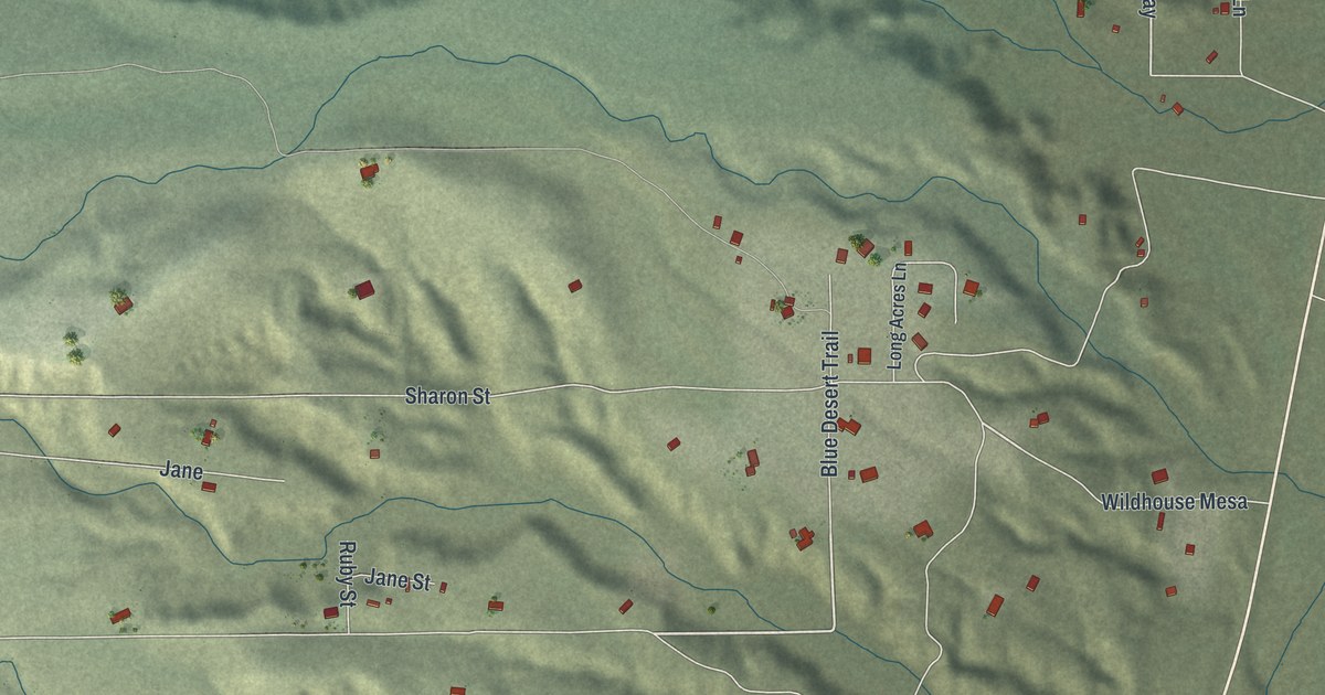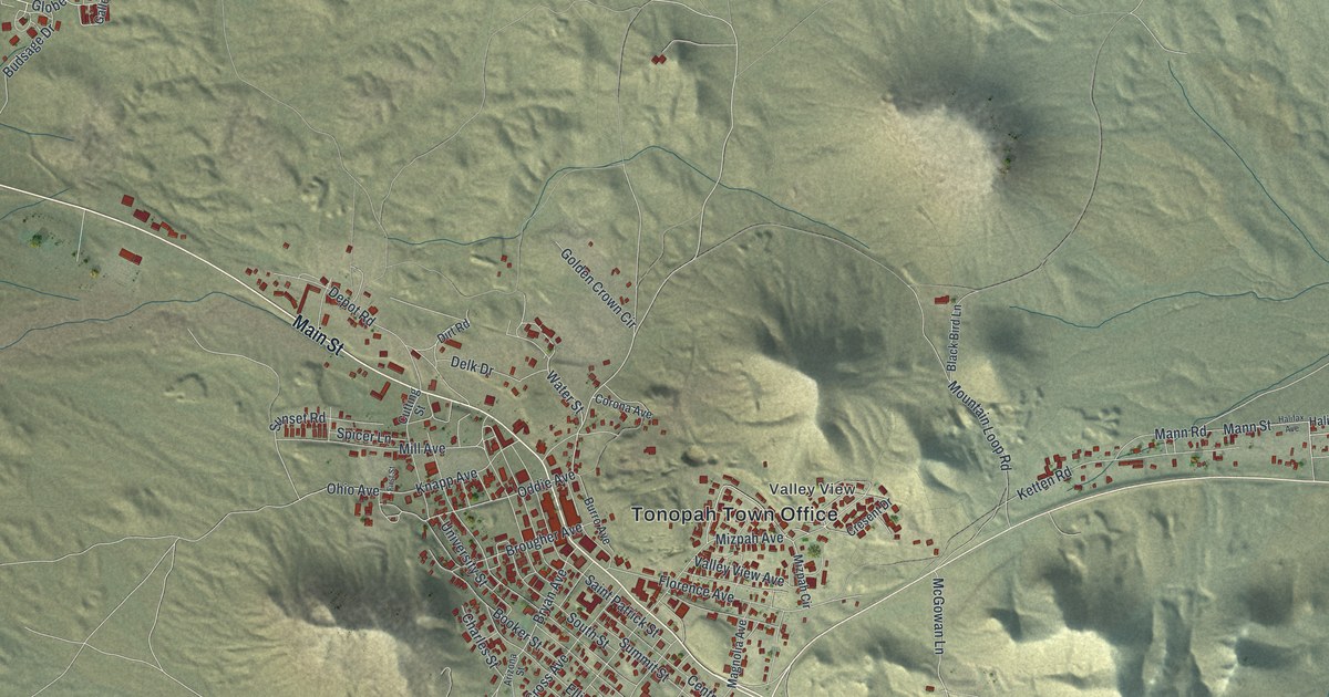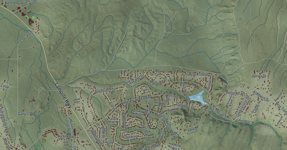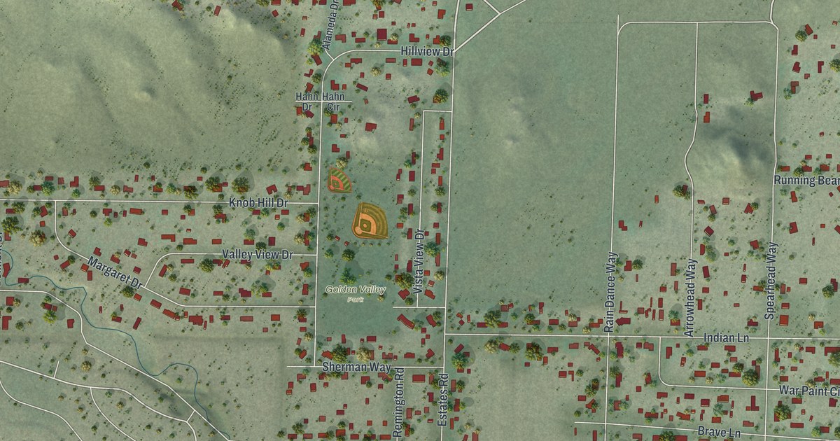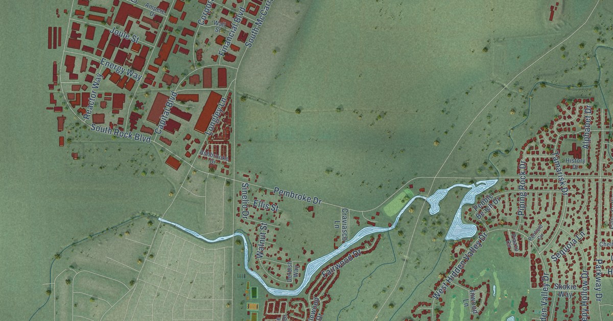
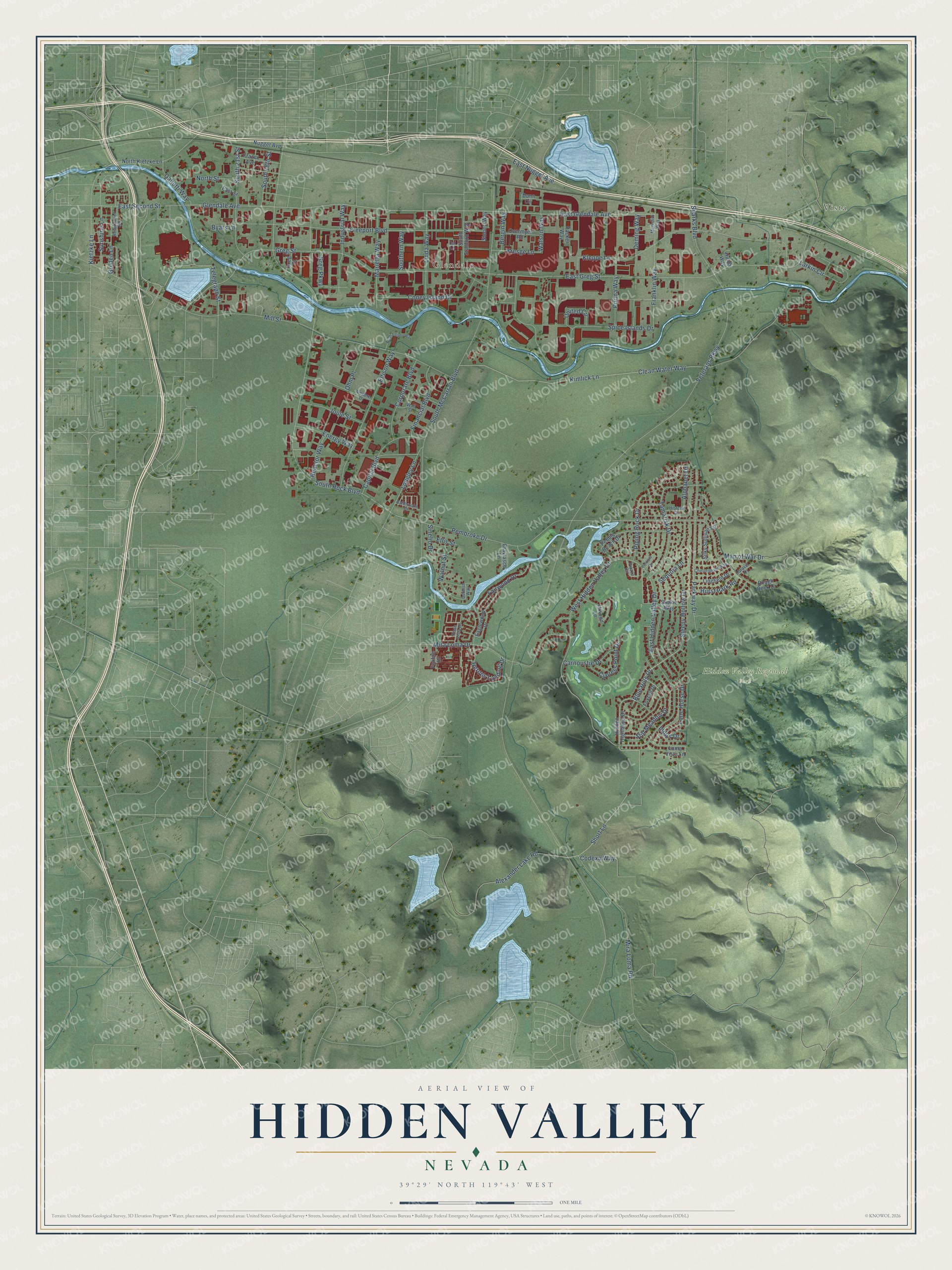
This beautifully detailed map of Hidden Valley, Nevada was created in 2026 using aerial imagery combined with modern topographical, census, street and landmark data. It’s a one-of-a-kind view of Hidden Valley that combines accurate data with a vintage aesthetic. The map shows every building in its true location, many of the roads carry their names, and the shaded topographic relief shows the shape of the land.
Explore an aerial view of Hidden Valley, Nevada
On the map you’ll find Vista, Glendale, and Hidden Valley Regional Park, along with Short Lane, Blue Hills Drive, East Hidden Valley Drive, Tamarisk Drive, Sleepy Hollow Drive, Glendale Avenue, East Glendale Avenue, Telegraph Street, South Rock Boulevard, and more. If you look closely you can even find your house accurately drawn in its correct location. Zoom in on the preview to look for yours.
Take a closer look at the Hidden Valley map
Names on this map
These names are printed on this map.
Places: Vista, Glendale and Hidden Valley Regional Park.
Streets and roads: Short Lane, Blue Hills Drive, East Hidden Valley Drive, Tamarisk Drive, Sleepy Hollow Drive, Glendale Avenue, East Glendale Avenue, Telegraph Street, South Rock Boulevard, Greg Street, West Hidden Valley Drive, East Greg Street.
More street names, A to Z
Alexander Lake Road, Alphabet Drive, Ampere Drive, Ashbrooke Drive, Bergin Way, Byars Lane, Cal Lane, Capital Boulevard, Carnoustie Drive, Cheltenham Way, Clean Water Way, Codexa Way, Coney Island Drive, Corporate Boulevard, Craviasco Lane, Cypress Point Drive, Deming Way, Derbish Way, Dunn Circle, Eaglewood Drive, East Nugget Avenue, East Second Street, East Street, Edison Way, Ellis Street, Energy Way, Fairwood Drive, Financial Boulevard, Foxfire Drive, Foxtail Drive, Franklin Way, Frazer Avenue, Freeport Boulevard, Galletti Way, Golden Lane, Gravel Court, Greg Court, Greg Parkway, Herons Landing Drive, Hidden Highlands Drive, History Drive, Hulda Way, Hurst Park Road, Indus Drive, Industrial Way, Inwood Lane, Joule Street, Kietzke Lane, Kimlick Lane, Kleppe Lane, Kresge Lane, Larkin Circle, Linda Way, Lingfield Drive, Loma Vista Lane, Lone Horse Drive, Longley Lane, Man of War Drive, Marietta Way, Meredith Way, Mill Street, Mira Loma Drive, Mira Loma Road, North Edison Way, North Kietzke Lane, North Street, Nugget Avenue, Ohm Place, Overmyer Road, Packer Way, Parkway Drive, Pebble Beach Drive, Pembroke Drive, Penfield Circle, Piazzo Circle, Piping Rock Drive, Purina Way, Reactor Way, Reservation Road, Rose Vista Drive, Rough Rock Drive, Sequoia Lane, Silky Sullivan Lane, Sinelio Drive, Skokie Way, South 18th Street, South 21st Street, Southern Way, South McCarran Boulevard, South Stanford Way, Sparks Boulevard, Spice Islands Drive, Steneri Way, Still Meadow Drive, Sunshine Lane, United Circle, Veterans Parkway, Wall Street, Walnut Street, Watson Way.
See it on a wall
The Hidden Valley map as a framed print. Swipe for more.


This beautifully detailed map of Hidden Valley makes an attractive addition to your office, library, or den, and it can even be used to teach children the geography and history of the area. It also makes a great gift for someone who left Hidden Valley and still calls it home. When you’re done exploring, click here to get your copy of the Hidden Valley map.