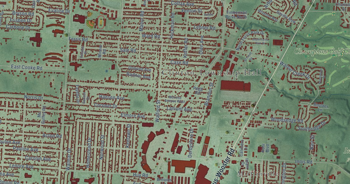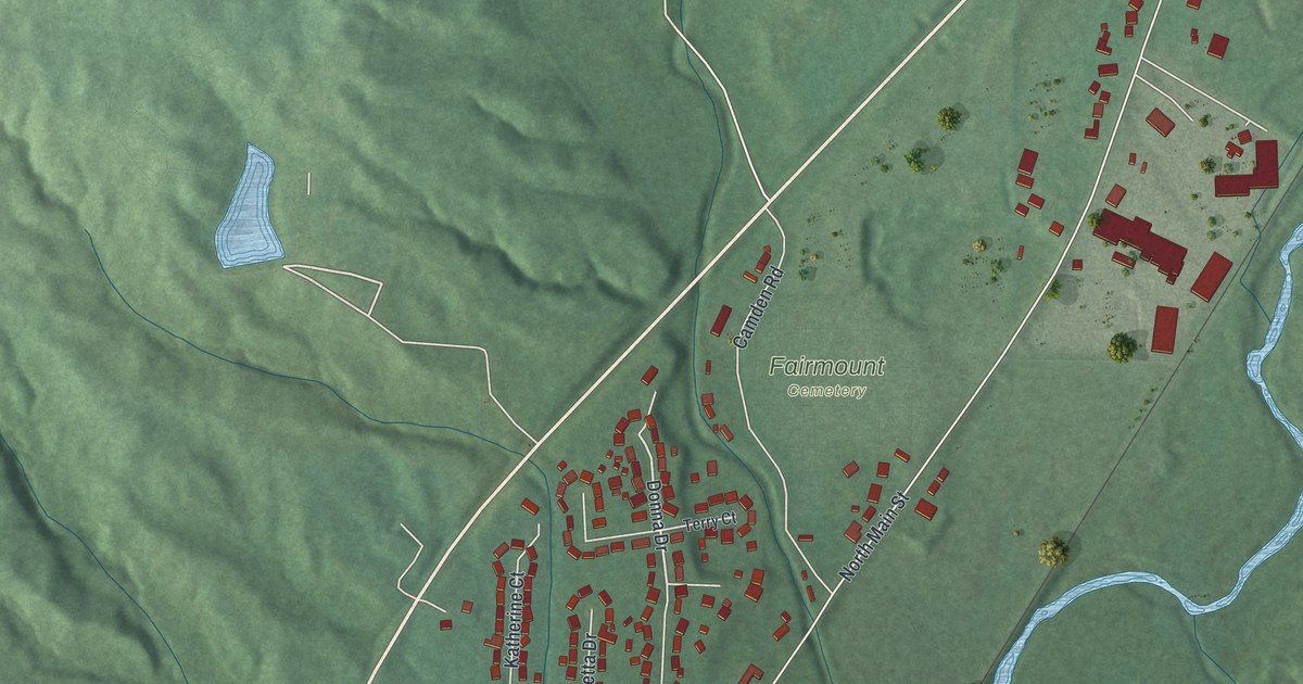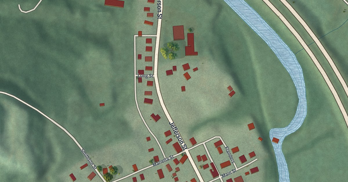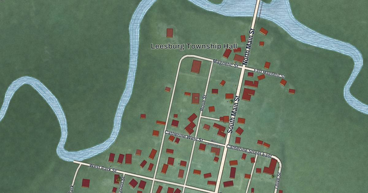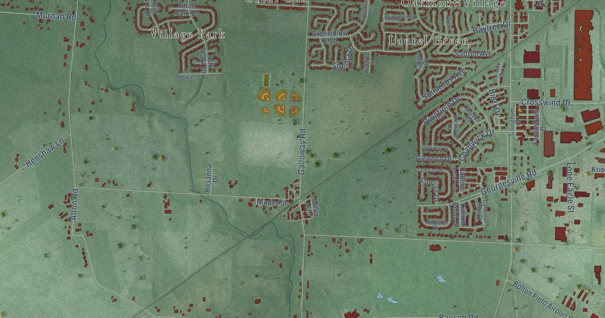
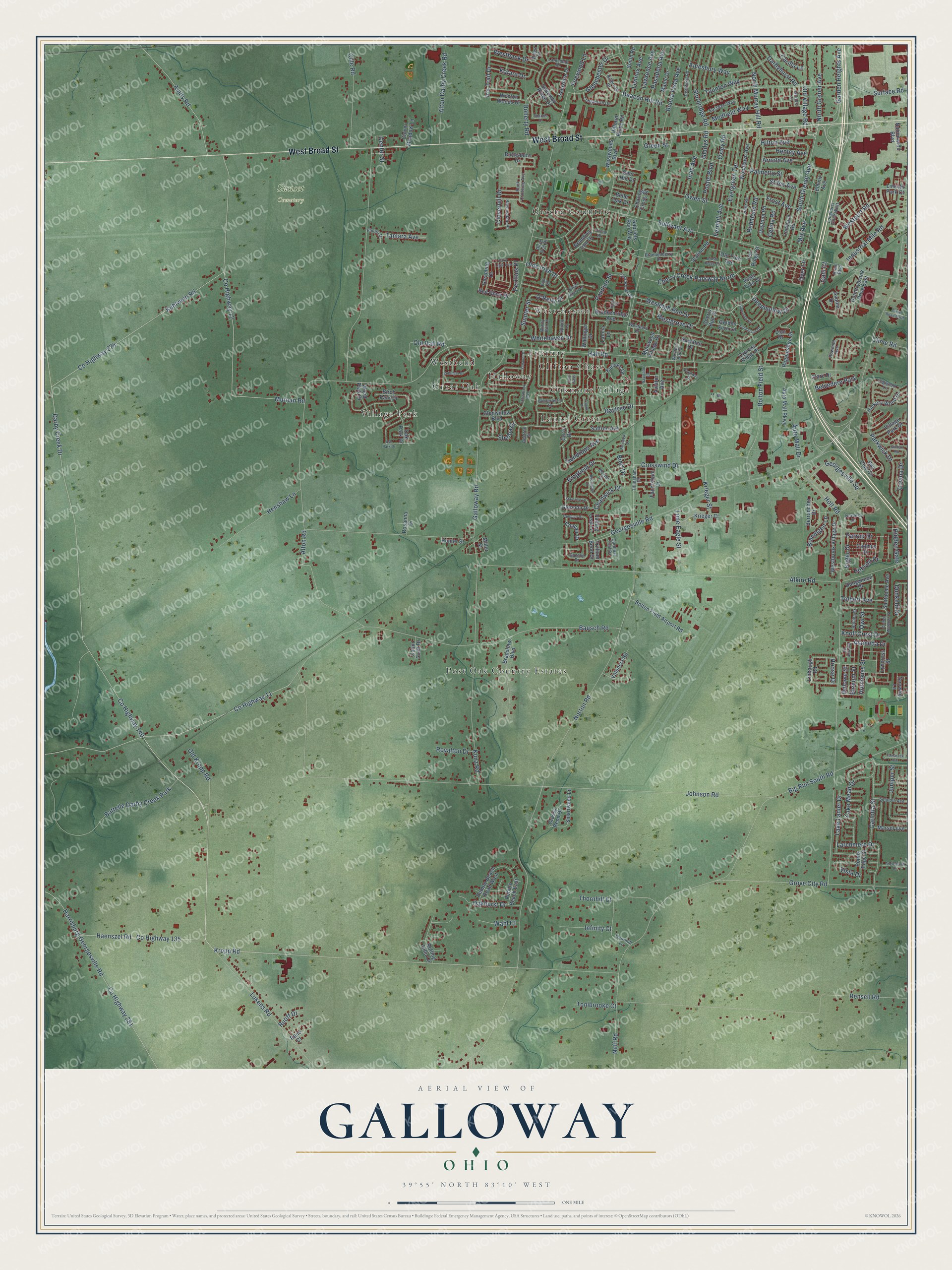
This beautifully detailed map of Galloway, Ohio was created in 2026 using aerial imagery combined with modern topographical, census, street and landmark data. It’s a one-of-a-kind view of Galloway that combines accurate data with a vintage aesthetic. The map shows every building in its true location, many of the roads carry their names, and the shaded topographic relief shows the shape of the land.
Explore an aerial view of Galloway, Ohio
On the map you’ll find Sunset Cemetery, Post Oak Country Estates, Greene Countrie, Village Park, Clifton Chase, Westbend, Laurel Green, Westchester, Halloway, Great Oak, Epernay, Oakmont Village, and more. If you look closely you can even find your house accurately drawn in its correct location. Zoom in on the preview to look for yours.
Did You Know?
From Internet Archive: "The first settler within the limits of the territory now comprised in Mad River Township was James Galloway, on Section 5, Range 8."
Galloway is a community in Franklin County.
Take a closer look at the Galloway map
Names on this map
These names are printed on this map.
Places: Sunset Cemetery, Post Oak Country Estates, Greene Countrie, Village Park, Clifton Chase, Westbend, Laurel Green, Westchester, Halloway, Great Oak, Epernay, Oakmont Village, Battelle Darby Creek Park and Belvedere Park.
Streets and roads: West Broad Street, Kropp Road, South Grener Avenue, Westgrove Drive, County Highway 140, Darby Creek Drive, Cherry Creek Parkway North, Alameda Drive, Firewood Lane, Hobson Drive, Norton Road, Alkire Road.
More street names, A to Z
Alton Darby Creek Road, Alton Road, Amesbury Way, Amity Road, Anglebrook Drive, Arnold Avenue, Ash Park Drive, Auto Mall Drive, Auto Mall Parkway, Aviator Avenue, Avonia Drive, Bairstow Court, Bausch Road, Bay Club Circle, Baytree Drive, Beacon Hill Road, Beetree Street, Belle Oak Drive, Bellinger Drive, Berrancher Drive, Bierl Drive, Big Run South Road, Birch Park Drive, Bloxom Street, Bolton Field Airport Road, Bolton Field Street, Brackenridge Avenue, Bradshaw Boulevard, Brandenberry Drive, Brandigen Lane, Branding Iron Drive, Brent Boulevard, Brush Ridge Court, Bucksburn Drive, Bucksglen Drive, Buena Vista Avenue, Burlake Drive, Burson Street, Cabin Croft Drive, Cadmus Drive, Cardinal Trail Drive, Carilla Lane, Carlotta Street, Celina Road, Center Street, Chanwick Drive, Charing Cross Street, Cherry Bud Drive, Clairbrook Avenue, Clare Drive, Clime Road, Clime Road North, Cloverhill Drive, Clover Meadow Lane, Cole Road, Convair Drive, Countrybrook Drive East, County Highway 11, County Highway 12, County Highway 135, County Highway 274, County Highway 281, Covina Drive, Crossbrook Boulevard, Crosswind Drive, Curry Drive, Cypress Ridge Place, Darbyhurst Road, Daytona Road, Deephollow Drive, Deerfield Road, Deer Hill Drive, Delowe Street, Dlyn Street, Doherty Road, Dove Tree Drive, Dungannon Drive, Dunkeld Drive, Dyer Lane, Early Light Avenue, Eastham Way, Elnora Drive, Emmit Avenue, Evergreen Terrace, Falene Place, Falling Leaf Lane, Faversham Drive, Fernhill Avenue, Fox Ridge Street, Frost Avenue, Gabriels Run Way, Galli Court, Galloway Ridge Drive, Galloway Road, Garden Heights Avenue, Gazelle Drive, Georgesville Road, Georgesville Square, Gilman Road, Gladys Road, Gleaming Drive, Glenchester Drive, Glennon Drive, Glenwillow Boulevard, Golden Fern Lane, Golden Meadows Street, Grants Lane, Grassy Bend Drive, Green Street, Grove City Road, Haenszel Road, Hall Road, Harrisburg Georgesville Road, Henley Avenue, Henshaw Lane, Hickory Wood Drive, Hidden Gate, Hiler Road, Hillbrook Drive, Hilliard Rome Road, Hilton Avenue, Holt Road, Hoose Drive, Hotchkiss Street, Hunter Street, Inah Avenue, Industrial Mile Road, Infinity Court, Iris Trail Drive, Iverness Drive, Johnson Road, Juniper Street, Katara Drive, Knoll Crest Drive, Krieger Court, Krieger Street, Kuhlwein Road, Kunz Road, Kyger Drive, Lake Lanier Drive, Lake Mead Drive, Lancia Lane, Larchmere Drive, Larksdale Drive, Lawrence Avenue, Lennox Avenue, Linbaugh Road, Lincoln Park Court, Lion Drive, Logwood Lane, Lombard Road, Lone Eagle Street, Longhurst Drive West, Longworth Drive, Lukens Road, Lyncross Street, Maple Drive, Marsol Avenue, Medfield Way, Miller Street, Millett Drive, Mix Avenue, Morton Court, Muirwood Village Drive, Murnan Road, Nationwide Boulevard, Navigator Drive, Neff Road, North Grener Avenue, North Murray Hill Road, O'Reily Drive, Oakhurst Drive, Oak Park Drive, Olde Irish Drive, Old Hall Road, Old Kropp Road, Old Tree Avenue, Old Village Road, Oslo Pass, Owen Street, Owl Street, Oxley Road, Palmetto Street, Pamlico Street, Parkwick Drive, Parrau Drive, Pasadena Avenue, Pebble Beach East, Pebble Beach Road West, Perilous Place, Plumway Drive, Ponds Edge Street, Postle Boulevard, Pub Street, Ravensdale Place, Red Glare Drive, Redmond Road, Regentshire Drive, Rene Court, Rensch Road, Ringfield Drive, River Trail Court, Rock Crossing Avenue, Rolling Hills Lane, Rolling Street, Rosanna Drive, Rowland Avenue, Royalton Drive, Ruoff Drive, Saffron Avenue, Sanderson Drive, Santuomo Avenue, Sawatch Drive, Schauer Drive, Sequoia Avenue, Sharets Drive, Shelba Drive, Silver Spurs Lane, Smartweed Lane, Smith Road, Snowtip Lane, Spivey Lane, Starcrest Drive, Station Road, Stiles Avenue, Sturbridge Road, Sullivant Avenue, Sumter Street, Sundrops Avenue, Surface Road, Tamara Avenue, Tamarack Avenue, Tampico Drive, Taunton Way, Thornhill Court, Thornhill Lane, Tillingham Drive, Tolbert Avenue, Tonibrooke Court, Tricia Drive, Trillium Bend Drive, Upwoods Drive, Valencia Road, Village Park Drive, Vista Drive, Wahl Court, Wallinger Drive, Wesleigh Run Drive, Westbank Drive, Westbrook Village Drive, Westbury Drive, Western Run Drive, Weston Woods Drive, Westport Road, Westwoods Boulevard, Whitehaven Drive, Windy Hill Lane, Winterberry Drive, Woodlawn Avenue, Wood Park Drive, Yehlshire Drive.
See it on a wall
The Galloway map as a framed print. Swipe for more.


This beautifully detailed map of Galloway makes an attractive addition to your office, library, or den, and it can even be used to teach children the geography and history of the area. It also makes a great gift for anyone who grew up in Galloway or moved away. When you’re done exploring, click here to get your copy of the Galloway map.