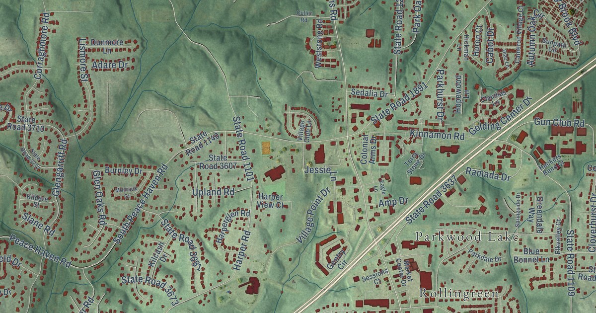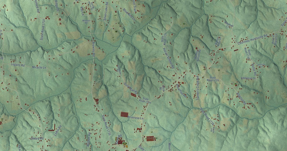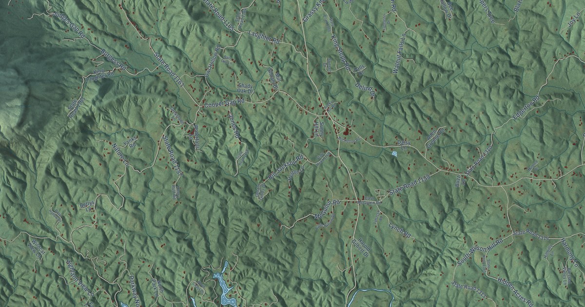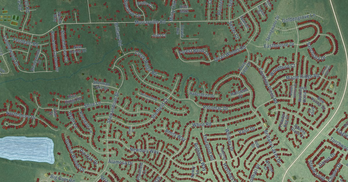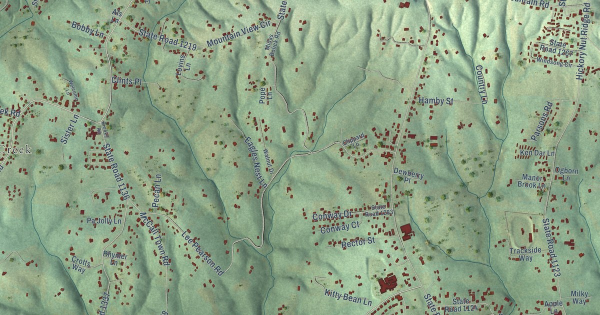
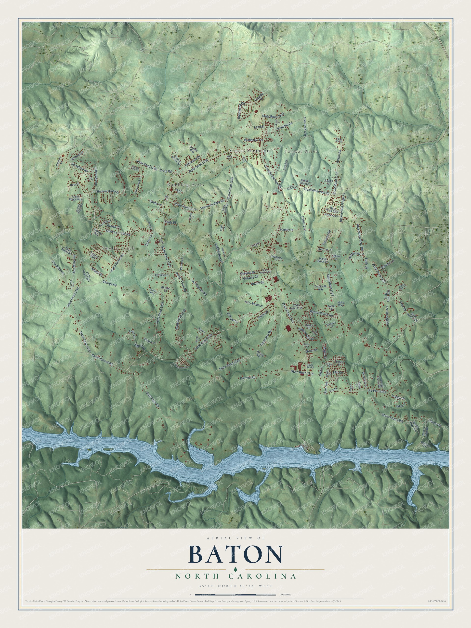
This beautifully detailed map of Baton, North Carolina was created in 2026 using aerial imagery combined with modern topographical, census, street and landmark data. It’s a one-of-a-kind view of Baton that combines accurate data with a vintage aesthetic. The map shows every building in its true location, many of the roads carry their names, and the shaded topographic relief shows the shape of the land.
Explore an aerial view of Baton, North Carolina
On the map you’ll find Fairway Acres, Smokey Creek, Rambling Acres, and Cajahs Mountain, along with State Road 1134, Union Grove Road, Baton School Road, State Road 1139, Smokey Creek Road, State Road 1141, Goat Farm Road, Lee Pearson Road, and more. If you look closely you can even find your house accurately drawn in its correct location. Zoom in on the preview to look for yours.
Did You Know?
From Internet Archive: "The capital Wft.s at first *^nd is now New Orleans, but between 1840 and 18*18 the ^eat of government was at Baton Rouge."
Baton is a community in Caldwell County.
Take a closer look at the Baton map
Names on this map
These names are printed on this map.
Places: Fairway Acres, Smokey Creek, Rambling Acres, Cajahs Mountain and Trenton Park.
Streets and roads: State Road 1134, Union Grove Road, Baton School Road, State Road 1139, Smokey Creek Road, State Road 1141, Goat Farm Road, Lee Pearson Road, Troy Road, State Road 1001, Connelly Springs Road, State Road 1123.
More street names, A to Z
Almonta Lane, Als Lane, Angelic Way, Annas Farm Lane, Apple Lane, Austin Road, Azalea Lane, Baton Church Road, Beech Street, Bobby Lane, Bradshaw Terrace, Brandon Road, Brentwood Circle, Brooks Road, Brookwood Place, Cajah Mountain Road, Carpenter Road, Castle Bridge Drive, Catawba Terrace, Charlotte Lane, Clints Place, Clippard Lane, Conway Court, Conway Drive, Country Lane, Craig Road, Crotts Way, Crown Court, Dayton Place, Dewberry Place, Dry Ponds Road, Dugger Street, Dusty Oak Lane, Eagles Nest Lane, Elm Circle, Faith Lane, Family Ridge Way, Fence Street, Frank Trail, Free Mason Road, Gallatin Lane, Gentry Circle, George Road, Greenbriar Lane, Greer Street, Grindstone Lane, Hamby Street, Hickory Nut Ridge Road, Hidden Lake Drive, Horace Bolick Road, Horseford Road, Horseshoe Bend Road, Iris Place, Jenna Lane, Justin Lane, Kaylor Drive, Ken Dar Lane, Kitty Bean Lane, Knight Street, Land Street, Liberty Road, Lovins Lane, Macy Lane, Manor Brook Lane, Maple Street, McCall Town Road, Mica Lane, Midas Bolick Road, Milky Way, Monte Vista Lane, Mountain View Circle, Northside Church Road, Ogborn Lane, Orlandos Way, Pa Jolly Lane, Parkwood Drive, Parsons Road, Pecan Lane, Pope Lane, Potts Lane, Premier Road, Rector Street, Reflection Point, Rhymer Lane, River Road, River Run Road, Rose Place, Ruby Red Drive, Scarlett Ridge Way, Serenity Lane, Shadow Brook Drive, Shale Lane, Shook Place, Sister Lane, Smokey Lane, Sports Lane, State Road 1115, State Road 1124, State Road 1126, State Road 1127, State Road 1130, State Road 1132, State Road 1135, State Road 1136, State Road 1138, State Road 1140, State Road 1195, State Road 1203, State Road 1212, State Road 1219, State Road 1232, State Road 1240, State Road 1245, State Road 1267, State Road 1283, State Road 1286, State Road 1293, State Road 1337, Stilwell Lane, Stone Creek Court, Stones Throw Court, Sumac Lane, Summer Way, Thad Miller Road, Thad Mullis Road, Trackside Way, Trinity Place, Triplett Drive, Twin Lake Drive, Urban Lane, Walnut Drive, Waters Edge Avenue, Waters Edge Drive, Wayno Lane, Welcome Lane, Westwood Drive, Whitetail Drive, Windsong Circle, Wrong Way.
See it on a wall
The Baton map as a framed print. Swipe for more.


This beautifully detailed map of Baton makes an attractive addition to your office, library, or den, and it can even be used to teach children the geography and history of the area. It also makes a great gift for anyone who grew up in Baton or moved away. When you’re done exploring, click here to get your copy of the Baton map.