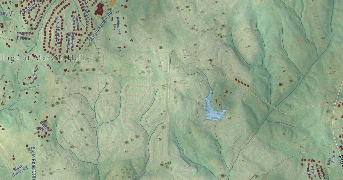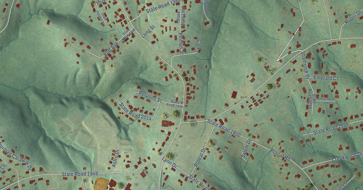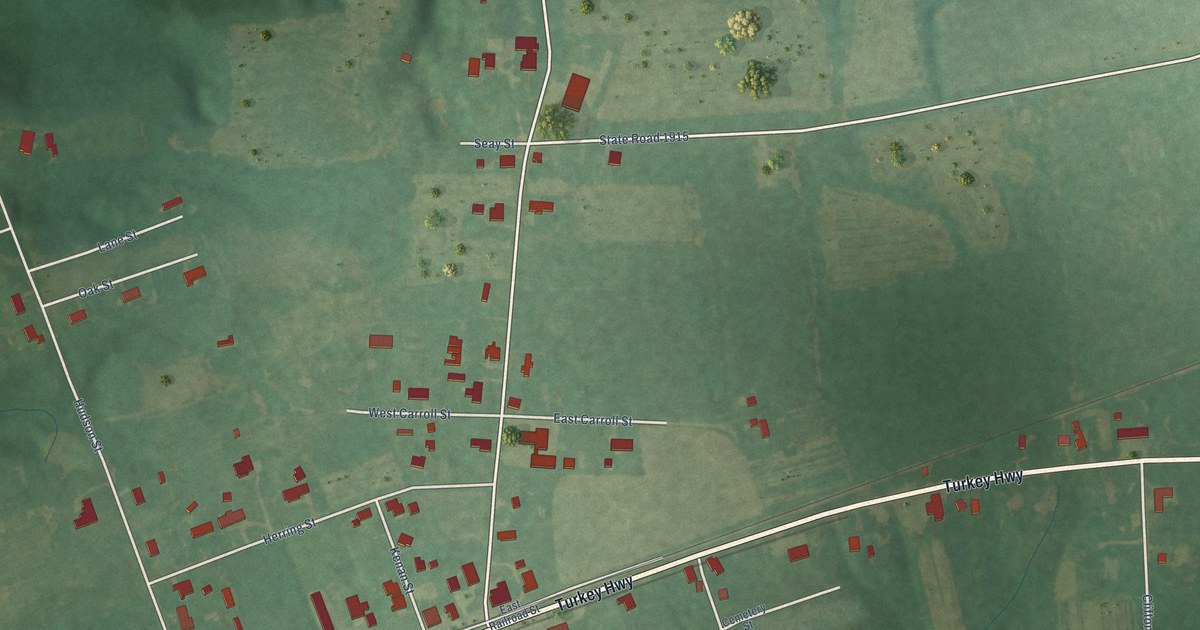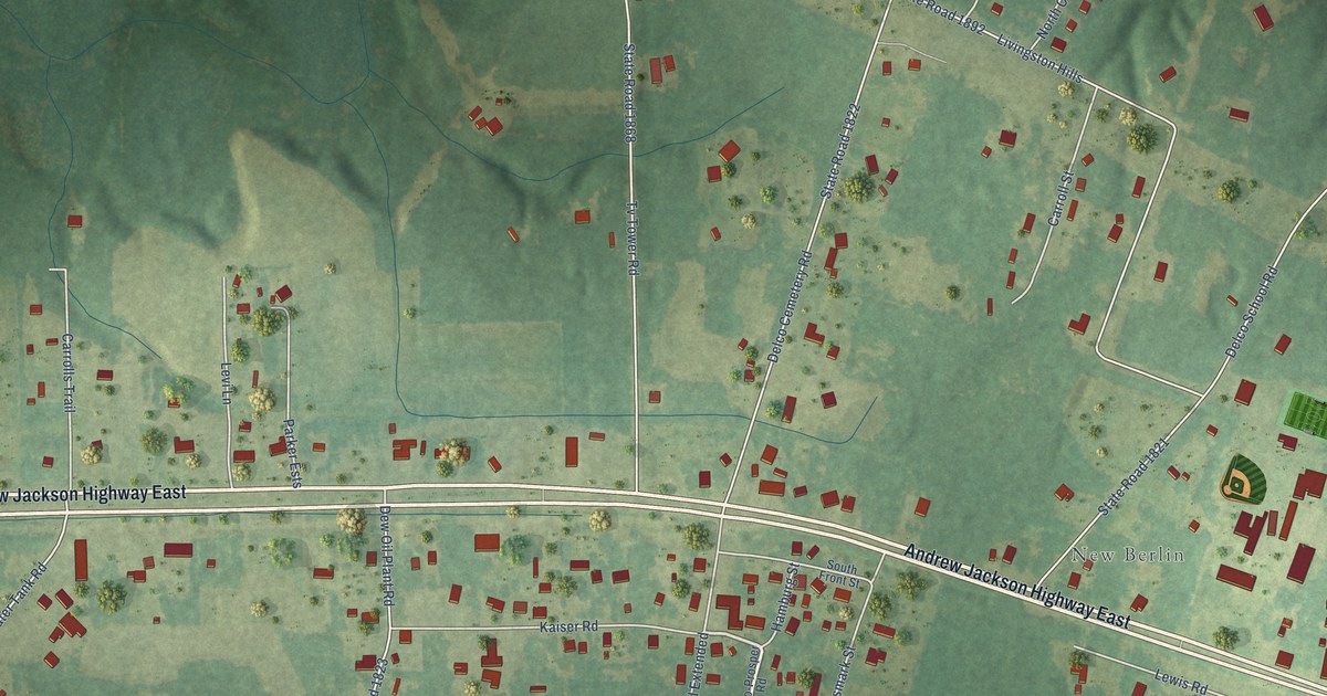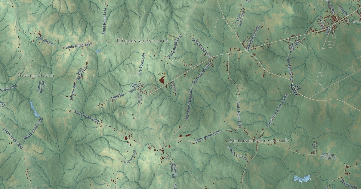
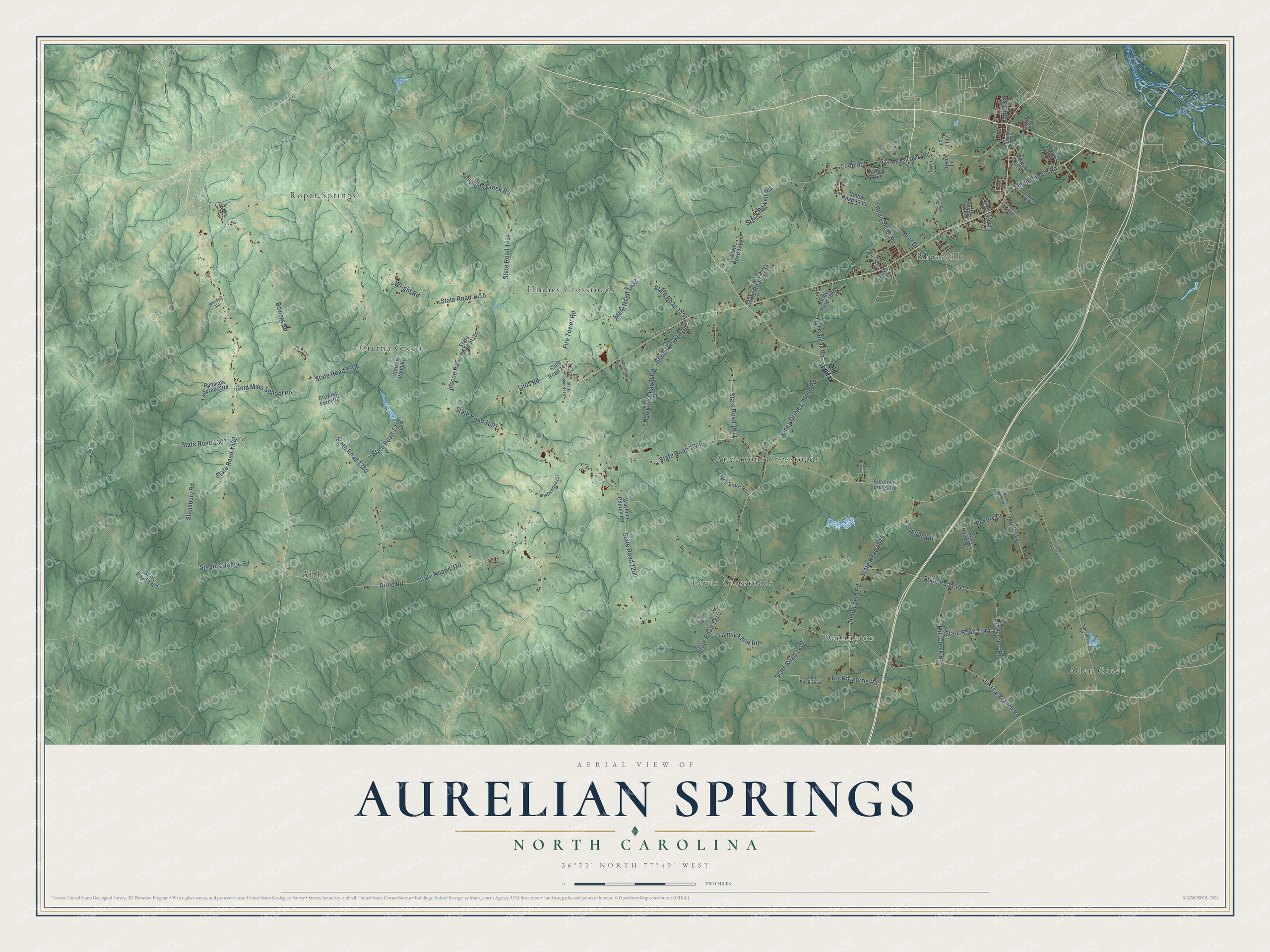
This beautifully detailed map of Aurelian Springs, North Carolina was created in 2026 using aerial imagery combined with modern topographical, census, street and landmark data. It’s a one-of-a-kind view of Aurelian Springs that combines accurate data with a vintage aesthetic. The map shows every building in its true location, many of the roads carry their names, and the shaded topographic relief shows the shape of the land.
Explore an aerial view of Aurelian Springs, North Carolina
On the map you’ll find Darlington, Rheasville, Airlie, Roper Springs, Allen Grove, Hinnes Crossroads, Andersons Crossroads, Gretna Green, and Lewis Crossroads, along with Loop Road, Hux Road, Justice Branch Road, and more. If you look closely you can even find your house accurately drawn in its correct location. Zoom in on the preview to look for yours.
Did You Know?
From Internet Archive: "Farmwell Grove Academy, somewhere in the Aurelian Springs section, was established in 1820, and flourished until 1837."
Aurelian Springs is a community in Halifax County.
Take a closer look at the Aurelian Springs map
Names on this map
These names are printed on this map.
Places: Darlington, Rheasville, Airlie, Roper Springs, Allen Grove, Hinnes Crossroads, Andersons Crossroads, Gretna Green and Lewis Crossroads.
Streets and roads: Loop Road, Hux Road, Justice Branch Road, State Road 1001, State Road 1600, Bowers Road, State Road 1300, State Road 1434, Ridgecrest Road, State Road 1612, State Road 1415, Wright Road.
More street names, A to Z
Airlie Road, American Legion Road, Aurelian Springs Road, Booth Street, Britt Drive, Butterwood Lane, Clover Lane, Crawley Farm Road, Crocus Lane, Dahlia Lane, Daniel Street, Dickens Store Road, Family Farm Road, Farley Circle, Fire Tower Road, Frank Road, Gilbert Lane, Glover Street, Gold Mine School Road, Graham-Scott Road, Grant Drive, Grapevine Road, Hamilton Street, Haven Drive, Hawkins Chapel Road, Hawkins Drive, Hedgepeth Road, Hickory Drive, Inscoe Road, Joy Drive, Keener Drive, Kyle Road, Liles Road, Mill Creek Road, Myrtlewood Circle, Old Halifax, Old Halifax Road, Ollie Lane, Panacea Springs Road, Pearson Hill Road, Piney Grove Church Road, Poplar Lane, Pot Drive, Rhea Smith Road, Roberson Road, Runway Drive, Sam Powell Dairy Road, Shelton Road, Simmons Creek Road, Smith Church Road, Sorrie Road, Southgate Drive, Spruills Bridge Road, Stack Powell Road, Stansbury Road, State Road 1200, State Road 1210, State Road 1304, State Road 1306, State Road 1307, State Road 1308, State Road 1309, State Road 1310, State Road 1414, State Road 1416, State Road 1417, State Road 1418, State Road 1429, State Road 1431, State Road 1432, State Road 1433, State Road 1602, State Road 1603, State Road 1610, State Road 1611, State Road 1613, State Road 1614, State Road 1615, State Road 1617, State Road 1618, State Road 1665, Wagner Street, Warren Pond Road, Wayman Church Road, Wonder Road.
See it on a wall
The Aurelian Springs map as a framed print. Swipe for more.


This beautifully detailed map of Aurelian Springs makes an attractive addition to your office, library, or den, and it can even be used to teach children the geography and history of the area. It also makes a great gift for someone who left Aurelian Springs and still calls it home. When you’re done exploring, click here to get your copy of the Aurelian Springs map.