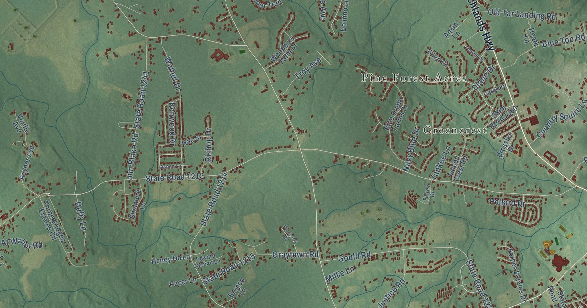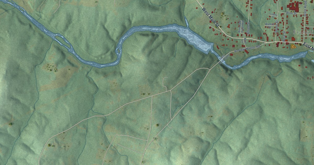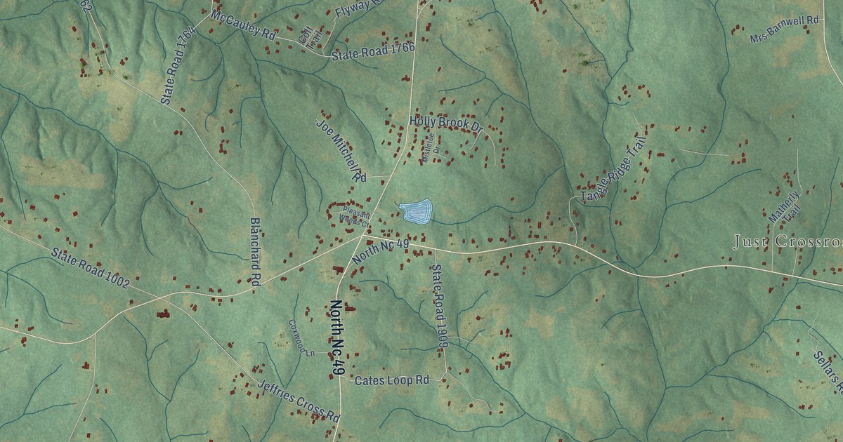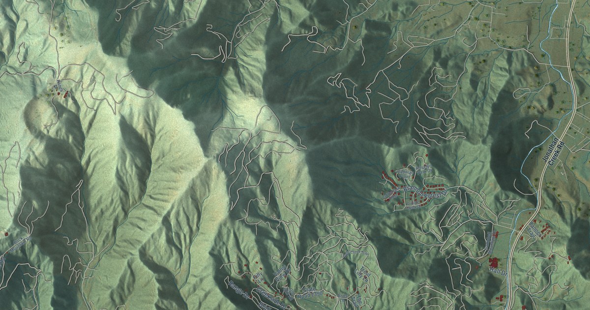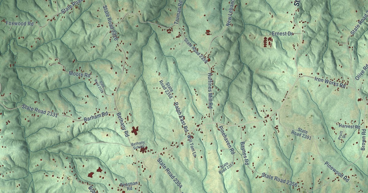
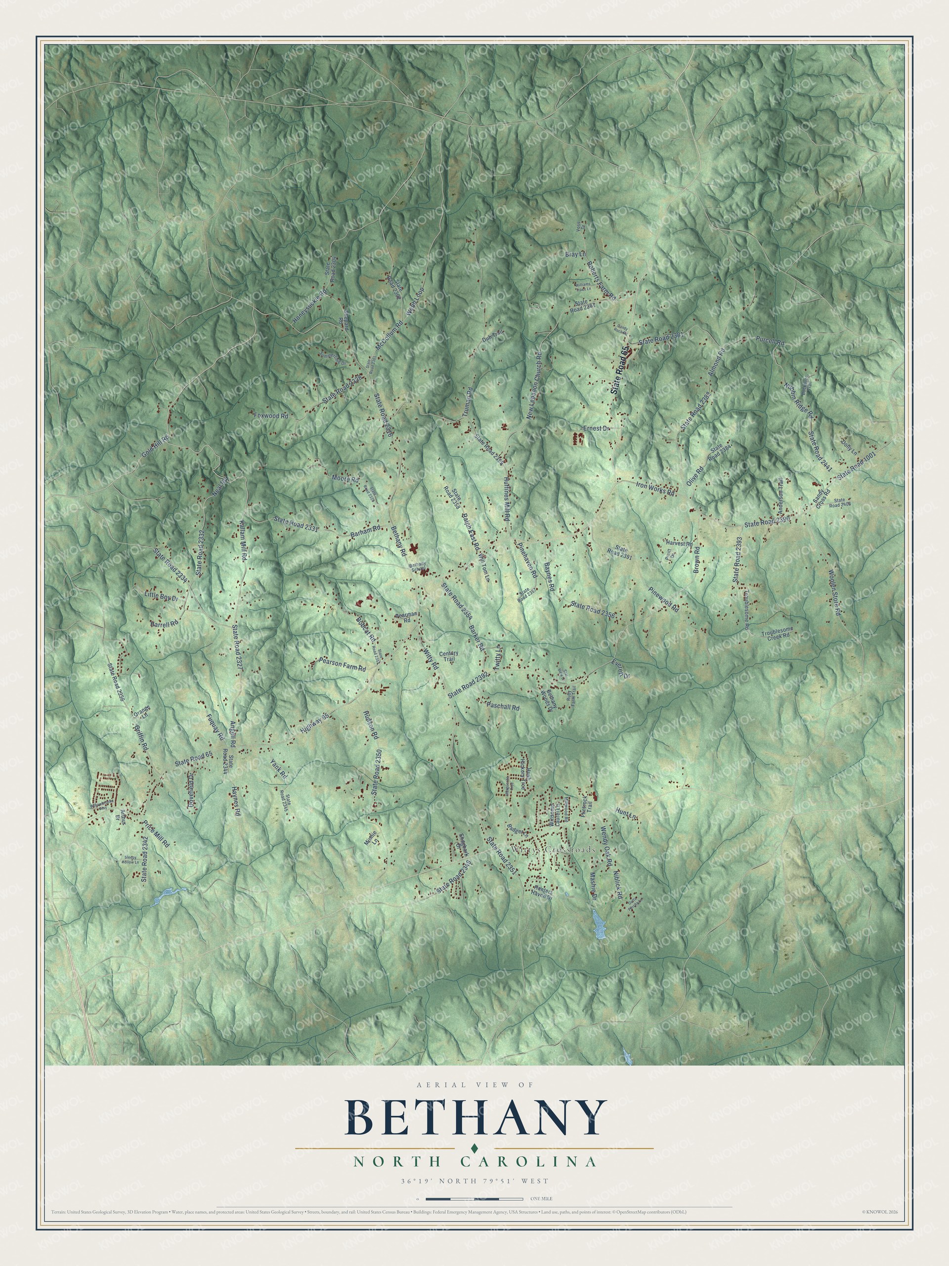
This beautifully detailed map of Bethany, North Carolina was created in 2026 using aerial imagery combined with modern topographical, census, street and landmark data. It’s a one-of-a-kind view of Bethany that combines accurate data with a vintage aesthetic. The map shows every building in its true location, many of the roads carry their names, and the shaded topographic relief shows the shape of the land.
Explore an aerial view of Bethany, North Carolina
On the map you’ll find Wittys Crossroads, along with State Road 65, State Road 2327, Kallam Mill Road, Highway 65, Angell Road, Gold Hill Road, State Road 2332, State Road 1001, Iron Works Road, State Road 2390, Woolen Store Road, and more. If you look closely you can even find your house accurately drawn in its correct location. Zoom in on the preview to look for yours.
Did You Know?
From Internet Archive: "At Bethany Church in Davidson in 1855, petitions from the Newton and Catawba charges were laid before the Classis praying it to effect an ecclesiastical relation with the Protestant Reformed Dutch Synod."
Bethany is a community in Rockingham County.
Take a closer look at the Bethany map
Names on this map
These names are printed on this map.
Places: Wittys Crossroads.
Streets and roads: State Road 65, State Road 2327, Kallam Mill Road, Highway 65, Angell Road, Gold Hill Road, State Road 2332, State Road 1001, Iron Works Road, State Road 2390, Woolen Store Road, McCollum Road.
More street names, A to Z
Almond Road, Anderson Trail, Arthur Drive, Badger Lane, Barham Road, Barker Road, Baynes Road, Bethany Road, Bethany School, Bethany Woods Drive, Bobcat Road, Bray Lane, Brown Road, Buckhorn Trail, Candy Rock Road, Century Trail, Dolly Lane, Dovefield Drive, Dub Trail, Ernest Drive, Everett Drive, Flintrock Trail, Foxwood Road, Fuquay Road, Griffin Road, Gutta Percha Lane, Harrell Road, Harvest Road, Haynes Road, Honeysuckle Road, Hudson Road, Huffines Mill Road, Hunters Haven Drive, Hunt Lane, Hush Hickory Trce, Little Boy Drive, Marguerite Trce, Mashie Drive, Millwood Road, Minnie Lane, Moore Road, Neal Road, New Lebanon Church Road, Niblick Road, Nubbin Ridge Road, Olive Road, Orange Lane, Paschall Road, Pearman Road, Pearson Farm Road, Pinehaven Road, Pinewood Road, Price Mill Road, Pruitt Drive, Purcell Road, Ralph East Road, Roberts Farm Road, Ruby Farm Trail, Sandy Cross Road, Shagbark Drive, Shepard Road, Sleepy Hollow Lane, Star View Lane, State Road 2301, State Road 2302, State Road 2304, State Road 2316, State Road 2328, State Road 2329, State Road 2331, State Road 2334, State Road 2336, State Road 2342, State Road 2344, State Road 2345, State Road 2349, State Road 2350, State Road 2351, State Road 2353, State Road 2354, State Road 2356, State Road 2357, State Road 2358, State Road 2359, State Road 2361, State Road 2381, State Road 2382, State Road 2384, State Road 2391, State Road 2392, State Road 2393, State Road 2406, State Road 2441, Summertime Drive, Troublesome Creek Road, Troublesome Road, Truman Road, Twitty Lane, Voss Drive, Webb Loop, Wendy Oak Road, Williams Trace Lane, Willowbrooke Way, Will Tom Lane, Winsome Laurel Lane, Witty Road, Yank Road.
See it on a wall
The Bethany map as a framed print. Swipe for more.


This beautifully detailed map of Bethany makes an attractive addition to your office, library, or den, and it can even be used to teach children the geography and history of the area. It also makes a great gift for someone who left Bethany and still calls it home. When you’re done exploring, click here to get your copy of the Bethany map.