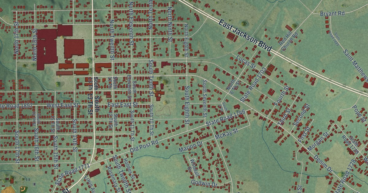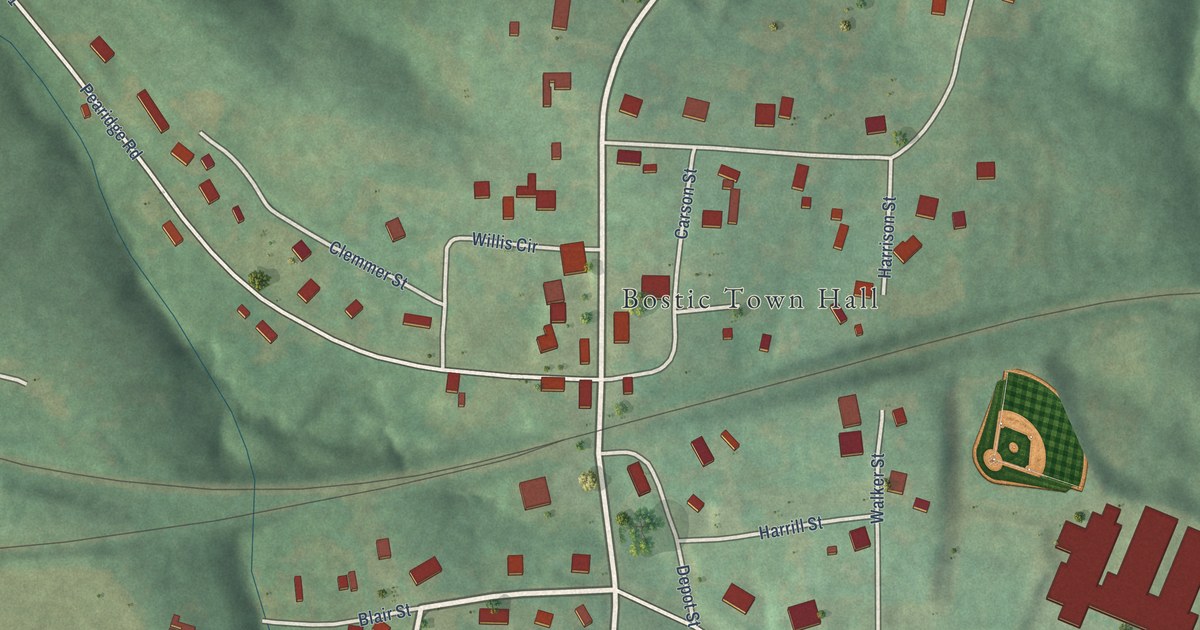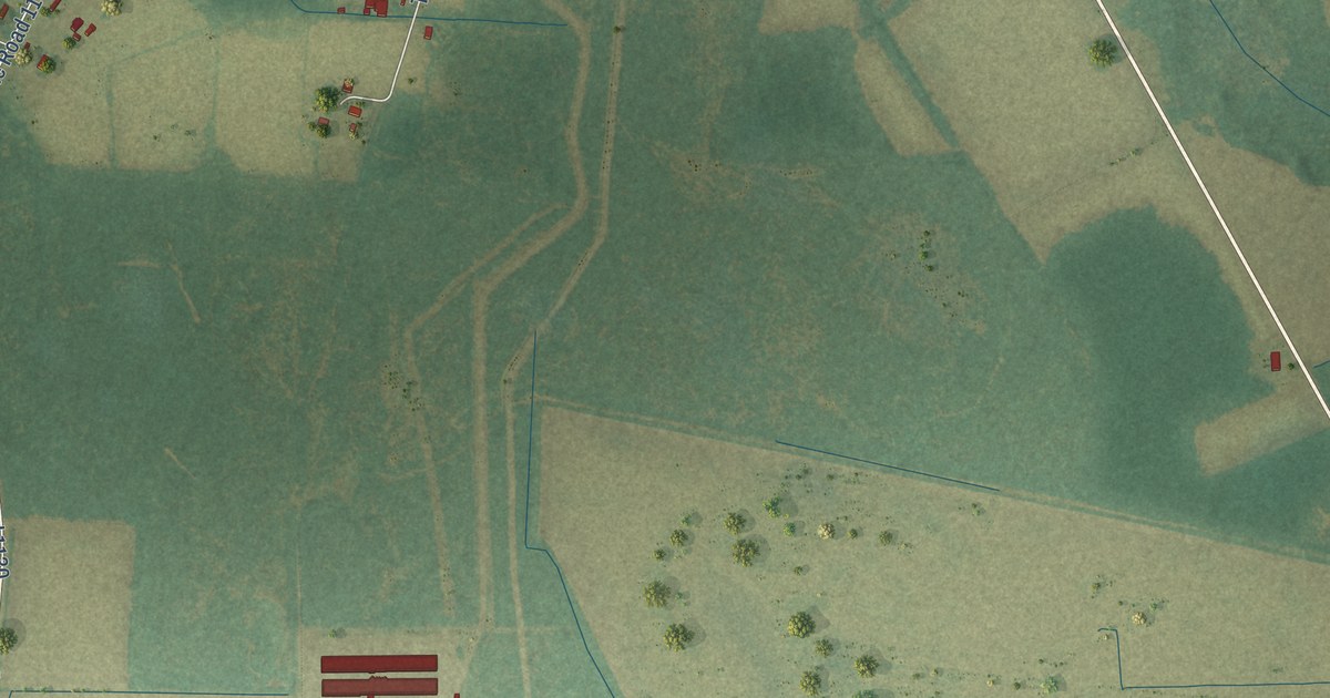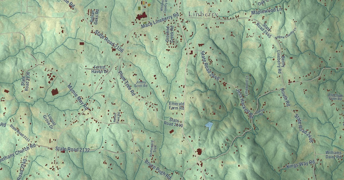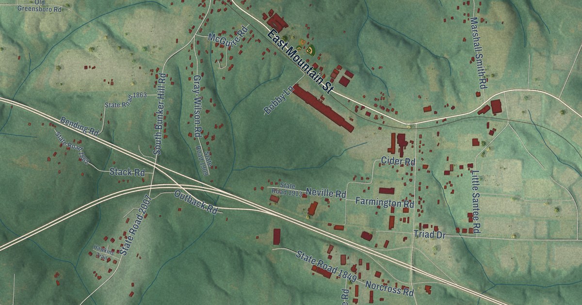
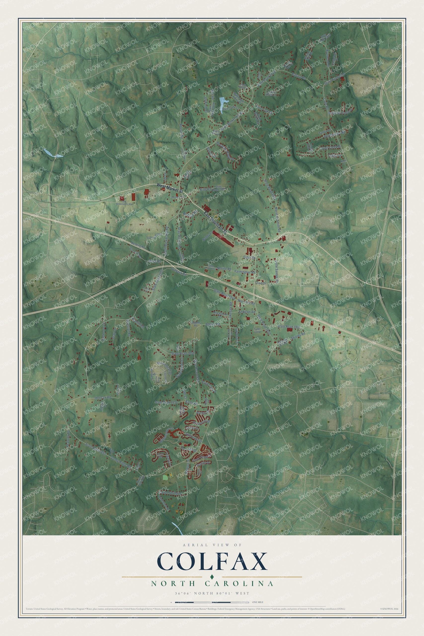
This beautifully detailed map of Colfax, North Carolina was created in 2026 using aerial imagery combined with modern topographical, census, street and landmark data. It’s a one-of-a-kind view of Colfax that combines accurate data with a vintage aesthetic. The map shows every building in its true location, many of the roads carry their names, and the shaded topographic relief shows the shape of the land.
Explore an aerial view of Colfax, North Carolina
On the map you’ll find East Mountain Street, West Market Street, State Road 2007, State Road 1849, Shields Road, Cude Road, Sandy Ridge Road, South Bunker Hill Road, State Road 1850, North Bunker Hill Road, State Road 1852, Marshall Smith Road, and more. If you look closely you can even find your house accurately drawn in its correct location. Zoom in on the preview to look for yours.
Did You Know?
From Internet Archive: "The roll was called; protests from the Democrats because of the exclusion of the Southern states, as at the opening of the Thirty-ninth Congress, were heard and Speaker Colfax was returned to the chair."
Colfax is a community in Guilford County.
Take a closer look at the Colfax map
Names on this map
These names are printed on this map.
Streets and roads: East Mountain Street, West Market Street, State Road 2007, State Road 1849, Shields Road, Cude Road, Sandy Ridge Road, South Bunker Hill Road, State Road 1850, North Bunker Hill Road, State Road 1852, Marshall Smith Road.
More street names, A to Z
Adkins Road, Alamar Drive, Atkins Lake Lane, Backwoods Lane, Ballard Farm Road, Ballard Road, Bame Road, Barton Court, Bayron Drive, Beeson Road, Bending Road, Blackstone Drive, Bobby Lane, Boylston Road, Brant Rock Lane, Brotherstwo Road, Brynwood Drive, Bull Road, Caffey Drive, Castleford Drive, Castle Way, Cedar Spring Drive, Cider Road, Clybran Lane, Cross Pond Drive, Dover Church Road, Edgartown Street, Endicott Road, Farmington Road, Geneva Te, Gray-Wilson Road, Gray Lane, Hawkins Trail, Hedge Lane, Idol Cox Road, Idol Wind Lane, Ira Drive, John Knox Drive, Johnson Street, Joywood Court, Kidd Road, Lakedale Circle, Lakedale Road, Laurel Acres Court, Legacy Drive, Little Santee Road, Maple Creek Drive, Maple Tree Court, Marblehead Drive, McGuire Road, National Svc Road, Nellis Lane, Neville Road, Noble View Drive, Norcross Road, Oakbluffs Drive, Old Greensboro Road, Outback Road, Peabody Road, Pheasant Ridge Drive, Point Oak Drive, Quail Creek Drive, Rosemont Drive, Royclift Road, Sam Court, Sandy Village Drive, Sanfords Creek Drive, Shady Hill Court, Sherfield Road, Skyview Trail, Smith Ridge Court, Squire Davis Road, Stacey Lane, Stack Road, Staples Road, Starfall Drive, State Road 1843, State Road 1845, State Road 1854, State Road 1855, State Road 1857, State Road 1858, State Road 1859, State Road 1862, State Road 1863, State Road 1906, State Road 1909, State Road 1913, State Road 1917, State Road 2004, State Road 2008, State Road 2010, State Road 2016, State Road 2063, Tanya Lane, The Links Drive, Thetford Court, Triad Drive, Tyner Loop, West Way Lane, Willie Dale Atkins Drive, Windchime Drive, Witherspoon Drive.
See it on a wall
The Colfax map as a framed print. Swipe for more.


This beautifully detailed map of Colfax makes an attractive addition to your office, library, or den, and it can even be used to teach children the geography and history of the area. It also makes a great gift for someone who left Colfax and still calls it home. When you’re done exploring, click here to get your copy of the Colfax map.