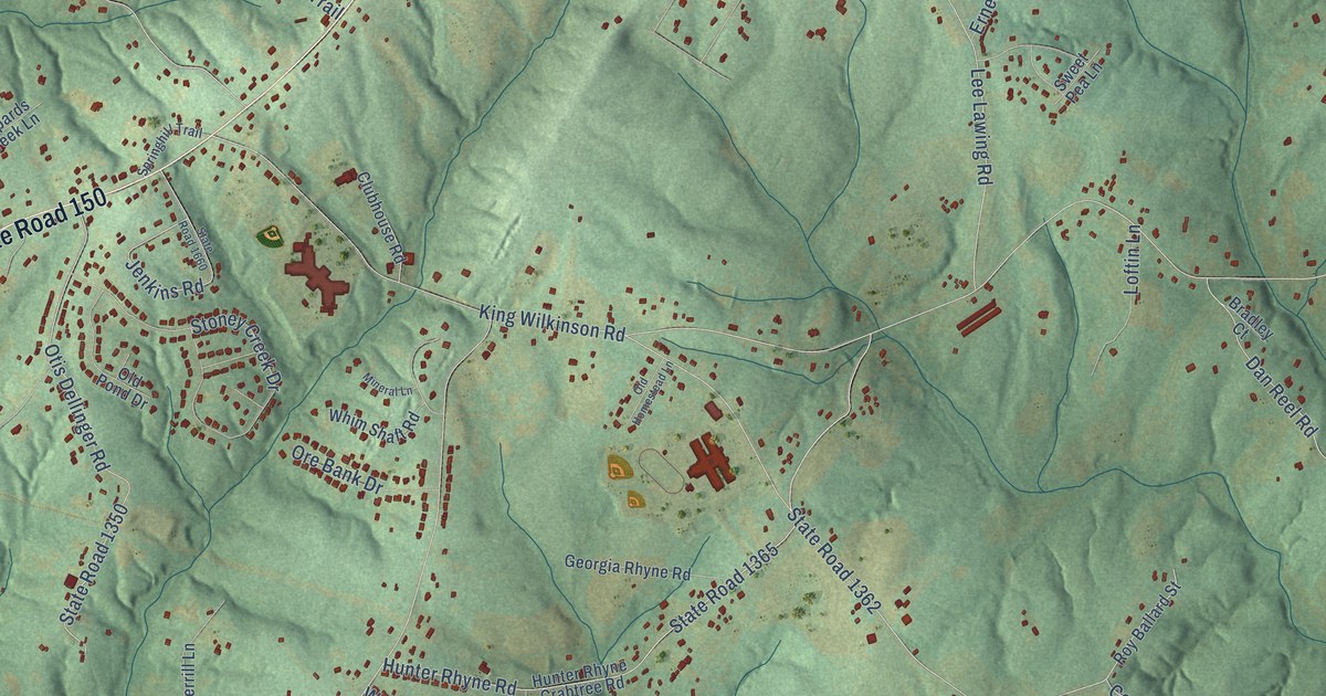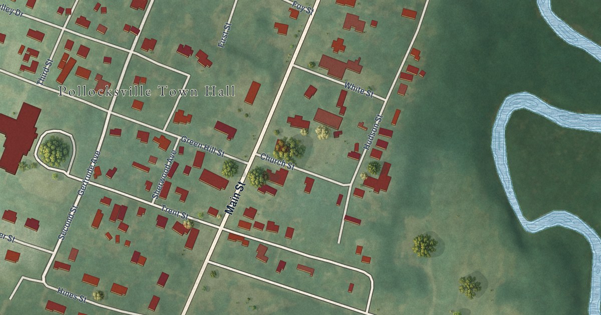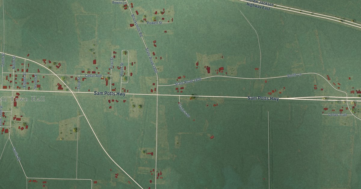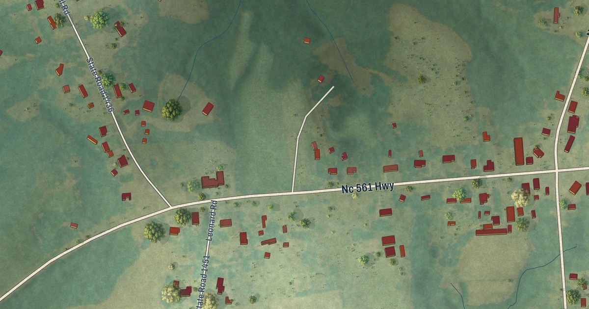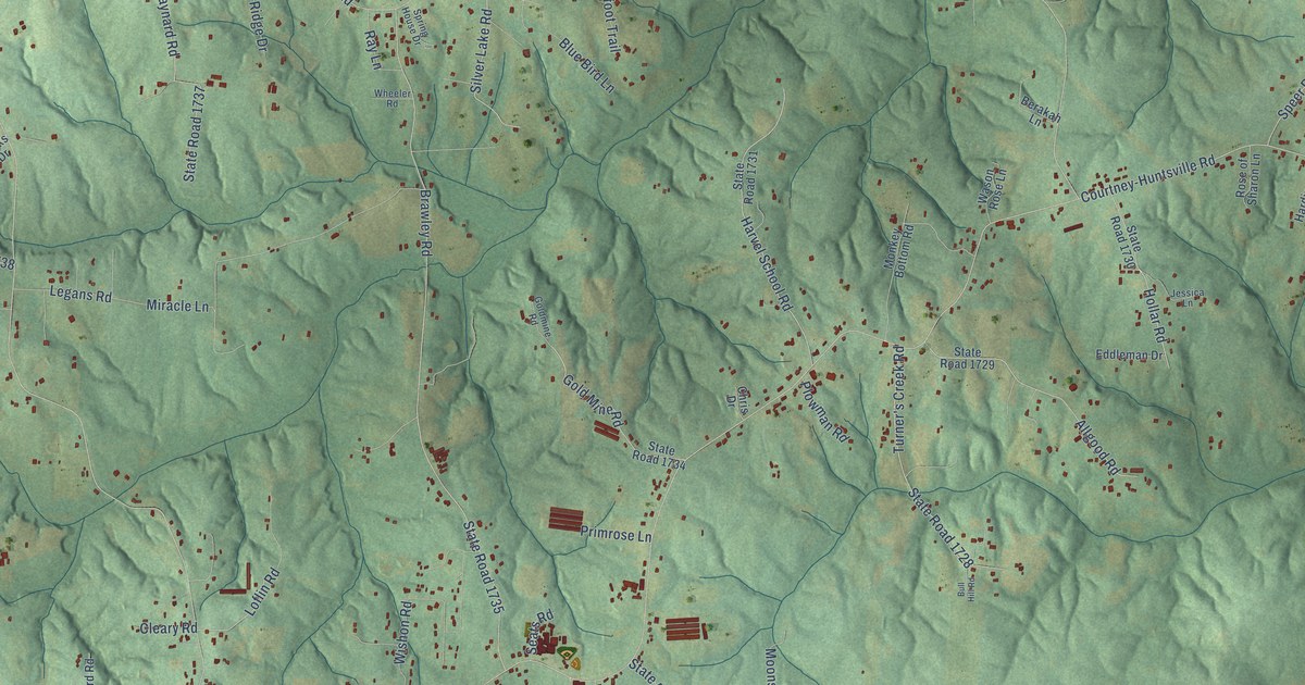
This beautifully detailed map of Courtney, North Carolina was created in 2026 using aerial imagery combined with modern topographical, census, street and landmark data. It’s a one-of-a-kind view of Courtney that combines accurate data with a vintage aesthetic. The map shows every building in its true location, many of the roads carry their names, and the shaded topographic relief shows the shape of the land.
Explore an aerial view of Courtney, North Carolina
On the map you’ll find Wyo, along with Courtney Church Road, Courtney-Huntsville Road, State Road 1001, Wyo Road, State Road 1725, Old Stage Road, State Road 1733, State Road 1720, Brawley Road, State Road 1735, State Road 1718, and more. If you look closely you can even find your house accurately drawn in its correct location. Zoom in on the preview to look for yours.
Did You Know?
From Internet Archive: "This branch of the Courtney family was established in Tennessee by the grandfather of the Franklin lawyer."
Courtney is a community in Yadkin County.
Take a closer look at the Courtney map
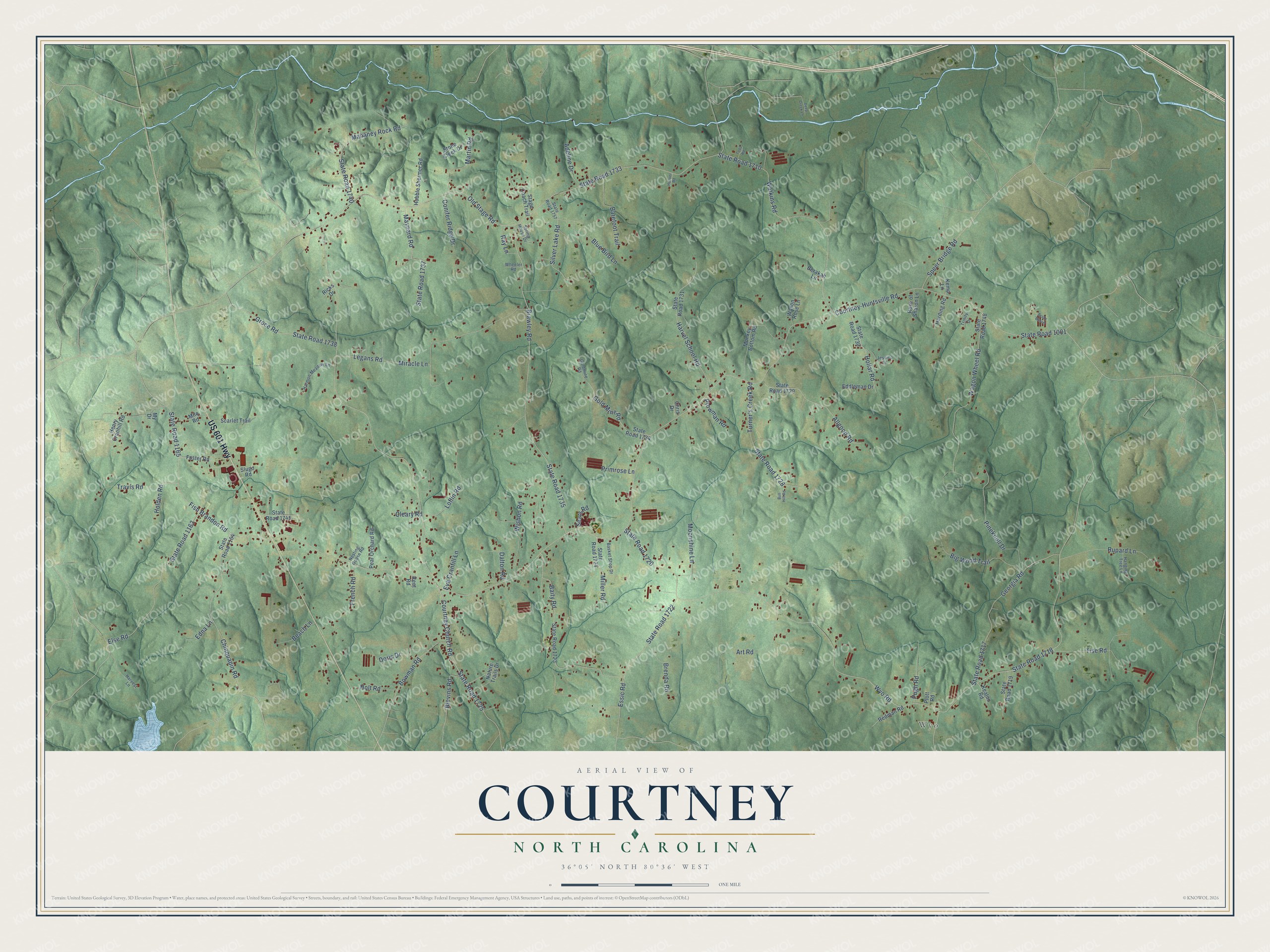
Names on this map
These names are printed on this map.
Places: Wyo.
Streets and roads: US 601 Highway, Courtney Church Road, Courtney-Huntsville Road, State Road 1001, Wyo Road, State Road 1725, Old Stage Road, State Road 1733, State Road 1720, Brawley Road, State Road 1735, State Road 1718.
More street names, A to Z
Adeline Drive, Allgood Road, Art Road, Baity Road, Barefoot Trail, Basket Shop Drive, Beach Lane, Berakah Lane, Big Wood Trail, Blevins Road, Blue Bird Lane, Bowman Road, Brady Bunch, Brenda Road, Bull Hill Road, Chinquapin Road, Chris Drive, Cleary Road, Conifer Ridge Drive, Dalton Road, Deep Creek Lane, Doris Drive, Eddleman Drive, Edna Lane, Else Road, Essic Road, Eva Cranfill Lane, Fish Brandon Road, Foster Road, French Road, Georgia Road, Gold Mine Road, Goldmine Road, Groce Road, Hanging Tree Lane, Harding Road, Harmon Meadow Lane, Harvel School Road, Harvest Lane, Henry Cranhill Road, Hobble Shermer Road, Holden Road, Hollar Road, Holt Road, Hoover Road, Jessica Lane, Keaton Road, Kemp Lane, Legans Road, Loflin Road, Mahaney Rock Road, Martin Road, Maynard Road, Miller Road, Milo Road, Miracle Lane, Monkey Bottom Road, Moonshine Lane, My Drive, Nature Trails Drive, Nesting Goose Road, Pear Orchard Road, Pineknoll Drive, Plott Road, Plowman Road, Primrose Lane, Pugh Road, Ray Lane, Redman Road, Rent Road, Ricks Drive, Rose of Sharon Lane, Rupard Lane, Scarlet Trail, Seats Road, Silver Lake Road, Slugo Road, Speer Bridge Road, Spring House Drive, Stage Coach Trail, State Road 1163, State Road 1164, State Road 1165, State Road 1710, State Road 1717, State Road 1719, State Road 1722, State Road 1723, State Road 1724, State Road 1728, State Road 1729, State Road 1730, State Road 1731, State Road 1734, State Road 1737, State Road 1738, State Road 1740, State Road 1745, State Road 1748, State Road 1757, Stone Creek Drive, Tise Road, Todd Road, Travis Road, Trinity Drive, Turner's Creek Road, Wagon Wheel Road, Wason Rose Lane, Watkins Road, Wheeler Road, Wishon Road.
See it on a wall
The Courtney map as a framed print. Swipe for more.


This beautifully detailed map of Courtney makes an attractive addition to your office, library, or den, and it can even be used to teach children the geography and history of the area. It also makes a great gift for anyone who grew up in Courtney or moved away. When you’re done exploring, click here to get your copy of the Courtney map.