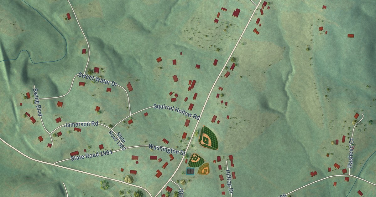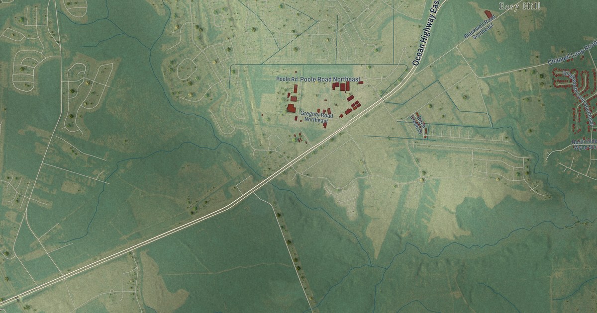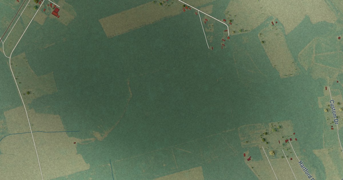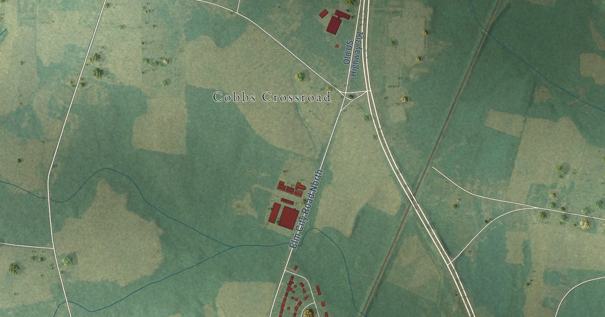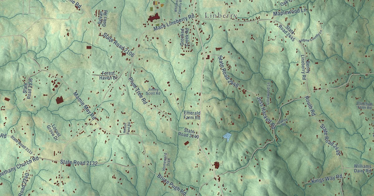
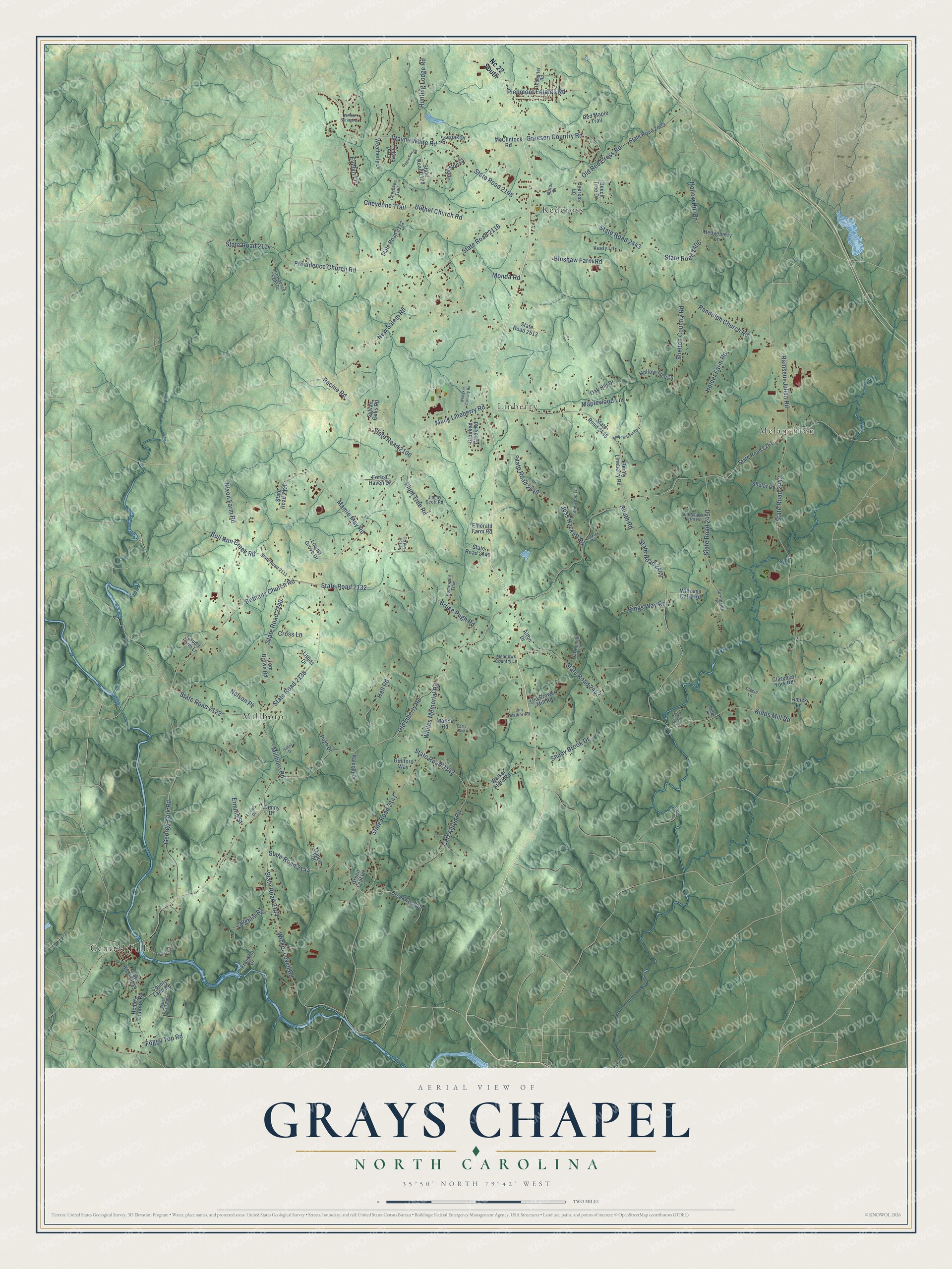
This beautifully detailed map of Grays Chapel, North Carolina was created in 2026 using aerial imagery combined with modern topographical, census, street and landmark data. It’s a one-of-a-kind view of Grays Chapel that combines accurate data with a vintage aesthetic. The map shows every building in its true location, many of the roads carry their names, and the shaded topographic relief shows the shape of the land.
Explore an aerial view of Grays Chapel, North Carolina
On the map you’ll find Millboro, Redcross, Central Falls, Linberry, and Melanchton, along with Bethany Church Road, Old Liberty Road, State Road 2132, Mack Lineberry Road, State Road 2138, Ramseur Julian Road, State Road 2442, and more. If you look closely you can even find your house accurately drawn in its correct location. Zoom in on the preview to look for yours.
Did You Know?
From Internet Archive: "Other areas are encountered in all directions about Randleman, near Sophia, around Tabernacle Church, surrounding Mechanic and Farmer, and southeast and southwest of Grays Chapel."
Grays Chapel is a community in Randolph County.
Take a closer look at the Grays Chapel map
Names on this map
These names are printed on this map.
Places: Millboro, Redcross, Central Falls, Linberry and Melanchton.
Streets and roads: Bethany Church Road, Old Liberty Road, State Road 2132, Mack Lineberry Road, State Road 2138, Ramseur Julian Road, State Road 2442, Mamie May Road, State Road 2141, Providence Church Road, State Road 2114, Kidds Mill Road.
More street names, A to Z
Alton Drive, Amick Lane, Andrew Country Lane, Beech Tree Drive, Benny Lineberry Road, Bethel Church Road, Briaroak Drive, Bruce Pugh Road, Bull Run Creek Road, Carl Allred Road, Caudle Farm Lane, Cherokee Trail, Cheyenne Trail, Clacie Lane, Clarence York Road, County Land Road, Creekwood Drive, Crooked Creek Road, Cross Lane, Cypress Lane, Denny Drive, Dottie Cox Drive, Emerald Farm Road, Ermine Street, Evelyn Lane, Flinchum Farm Road, Foggy Top Road, Forest Haven Drive, Franklin Drive, Fred East Lane, George York Road, Green Leaf Lane, Greeson Country Road, Guilford Way, Hall Road, Hedgeberry Lane, Henley Country Road, Hinshaw Farm Road, Holder Farm Road, Hollow Hill Road, Hollow Tree Drive, Homeward Trail, Hunting Lodge Road, Isabel Drive, Jess Hackett Road, Jimmy Scott Road, Jim Walker Road, Johnston Court, Keely Lane, Kidds Lane, Kings Way Road, Laughlin Road, Ledbetter Road, Lilliewood Lane, Little Point Road, Littles Drive, Locust Grove Drive, Lovell Drive, Maplewood Lane, Marclif Road, McClintock Road, Meadows Country Lane, Millboro Road, Milton Drive, Monda Road, Nc 22 South, Nelson Place, Nelson Pond Road, New Salem Road, Nixon Farm Road, Oak Hill Drive, Oak Hollow Trail, Oakley Road, Old Brower Mill Road, Old Red Cross Road, Perry Boulevard, Piedmont Estates Road, Plum Tree Road, Providence Farm Drive, Pugh Drive, Racine Road, Raleigh Drive, Randolph Church Road, Red Maple Trail, Routh Road, Sandy Lake Drive, Shady Brook Drive, Shelar Drive, Shelton Country Road, Springside Road, State Road 2106, State Road 2108, State Road 2109, State Road 2111, State Road 2112, State Road 2116, State Road 2122, State Road 2136, State Road 2140, State Road 2142, State Road 2143, State Road 2144, State Road 2215, State Road 2240, State Road 2261, State Road 2267, State Road 2403, State Road 2406, State Road 2443, State Road 2445, State Road 2446, State Road 2448, State Road 2450, State Road 2453, State Road 2513, Sylvan Oaks Road, Tippett Road, Tom Brown Road, Walker Store Road, Wayne White Road, Weatherly Drive, Whitaker Country Road, Whites Memorial Road, Wicker Lovell Road, Williams Dairy Road, Willow Springs Drive.
See it on a wall
The Grays Chapel map as a framed print. Swipe for more.


This beautifully detailed map of Grays Chapel makes an attractive addition to your office, library, or den, and it can even be used to teach children the geography and history of the area. It also makes a great gift for anyone who grew up in Grays Chapel or moved away. When you’re done exploring, click here to get your copy of the Grays Chapel map.