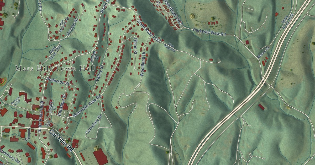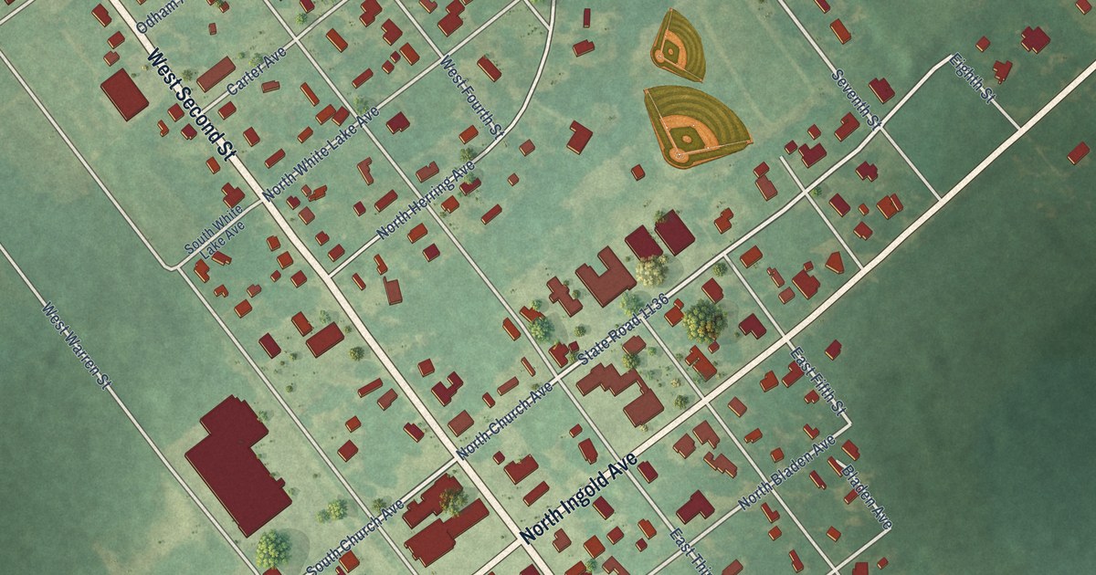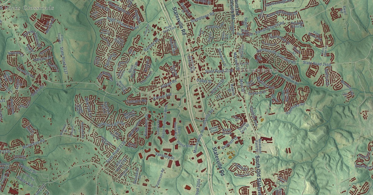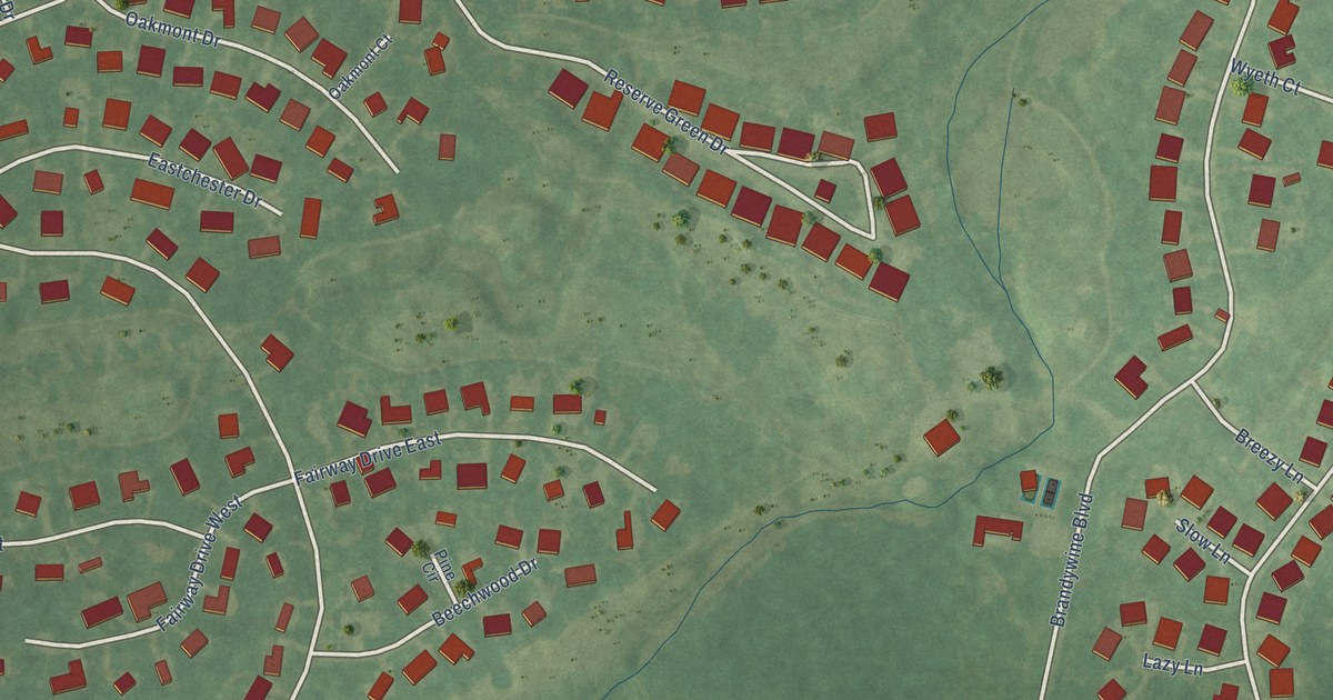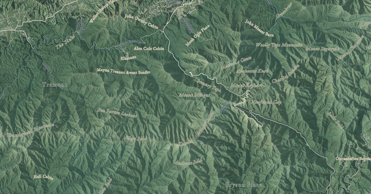
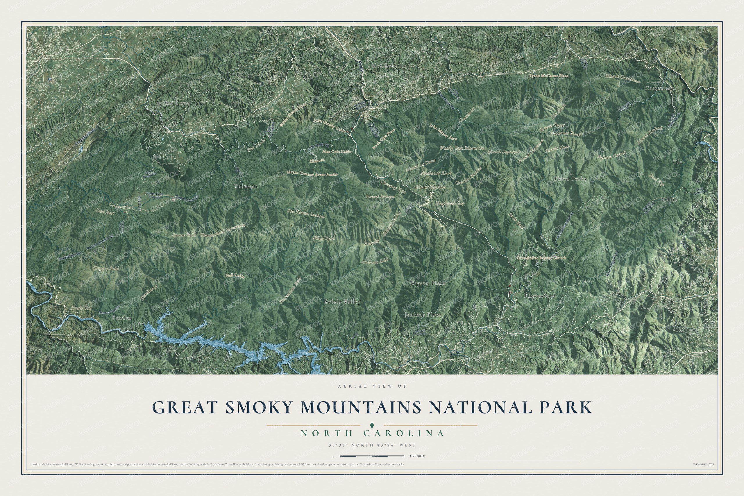
This beautifully detailed map of Great Smoky Mountains National Park was created in 2026 using aerial imagery combined with modern topographical, census, street and landmark data. It covers the whole park on both sides of the North Carolina and Tennessee state line, from Deals Gap and Cades Cove in the west to Mount Sterling and Mount Cammerer in the east. Shaded topographic relief shows the long main ridge and the coves and hollows below it, and many of the park’s names follow the land itself, curving along the ridges and valleys they belong to.
Explore an aerial view of Great Smoky Mountains National Park
On the map you’ll find Kuwohi, Mount Le Conte, Mount Guyot, Mount Kephart, Mount Collins, Mount Chapman, Thunderhead Mountain, Gregory Bald, Andrews Bald, Silers Bald, Spence Field, Charlies Bunion, the Chimney Tops, Newfound Gap, Cades Cove, Elkmont, Greenbrier and Tremont, plus old homeplaces like the Walker Sisters Place, the John Ownby Cabin and the Noah Ogle Place, along with Little River Road, the Cades Cove Loop Road, the Foothills Parkway and the Blue Ridge Parkway. If you’ve climbed to a bald or driven the loop through Cades Cove, zoom in on the preview to find the spot you remember.
Did You Know?
Long before it became a park, families farmed these North Carolina valleys. In 1795, John Mingus and Ralph Hughes made homes along the Oconaluftee. Mingus built the Mingus Mill. The Caldwell family came to Cataloochee in 1834, and Moses and Patience Proctor reached Hazel Creek in 1836.
This park had to be bought piece by piece, because the government was not allowed to buy land for national parks. A 1926 law signed by President Calvin Coolidge allowed the park once 150,000 acres had been purchased, so Tennessee and North Carolina each put up $2 million, and private donors, groups and even school children pledging their pennies raised more. By 1934 the two states had handed deeds for 300,000 acres to the federal government. Today it is the most visited national park in the country, with around 12 million visitors a year and more than 800 miles of trails. Elevations run from about 875 feet to 6,643 feet at Kuwohi, the highest peak, and with 31 kinds of salamanders it is known as the “salamander capital of the world,” according to the park’s answers to common questions.
Take a closer look at the Great Smoky Mountains National Park map
Names on this map
These names are printed on this map.
Places: Kuwohi, Mount Guyot, Cades Cove, Charlies Bunion, Chimney Tops, Coon Butt, Deals Gap, Gregory Bald, Mount Cammerer, Mount Chapman, Mount Collins, Mount Kephart, Mount Le Conte, Mount Sequoyah, Mount Sterling, Old Black, Silers Bald, Thunderhead Mountain, Tricorner Knob, Noah Ogle Place, Anakeesta Knob, Andrews Bald, Greenbrier, Marks Knob, Mount Mingus, Newfound Gap, Shuckstack, Spence Field, The Sinks, Woolly Tops Mountain, Alex Cole Cabin, Elkmont, Hall Cabin, John Messer Barn, John Ownby Cabin, Mayna Treanor Avent Studio, Oconaluftee Baptist Church, Tyson McCarter Place, Walker Sisters Place, Bald Top, Balsam Corner, Bearwallow Bald, Becks Bald, Ben Parton Lookout, Miller Cove, McCookville, Solola Valley, Jenkins Place, Fairfax, Ravensford, Tremont, Bryson Place, Crestmont, Ola, Nellie and Three Forks.
Streets and roads: Parkway, Little River Road, Foothills Parkway, Cades Cove Road, Parson Branch Road, Blue Ridge Parkway, Greenbrier Road, Bunker Hill Road, Hyatt Lane, Parkway Bypass, Mount Sterling Road, National Park Road.
More street names, A to Z
Balsam Mountain Road, Big Creek Trail, Cades Cove Loop Road, Cherokee Orchard Road, Clingmans Dome Road, Cosby Park Road, Cove Creek Road, Fontana Road, Forge Creek Road, Galbraith Creek Road, John Green Road, Line Springs Road, Purchase Road, Ranger Station Road, Rich Mount Road, Tremont Road.
See it on a wall
The Great Smoky Mountains National Park map as a framed print. Swipe for more.


This beautifully detailed map of Great Smoky Mountains National Park makes an attractive addition to your office, library, or den, and it can even be used to teach children the geography and history of the Smokies. It also makes a great gift for anyone who has hiked to a bald, camped in Cades Cove or is planning a first trip. When you’re done exploring, click here to get your copy of the Great Smoky Mountains National Park map.