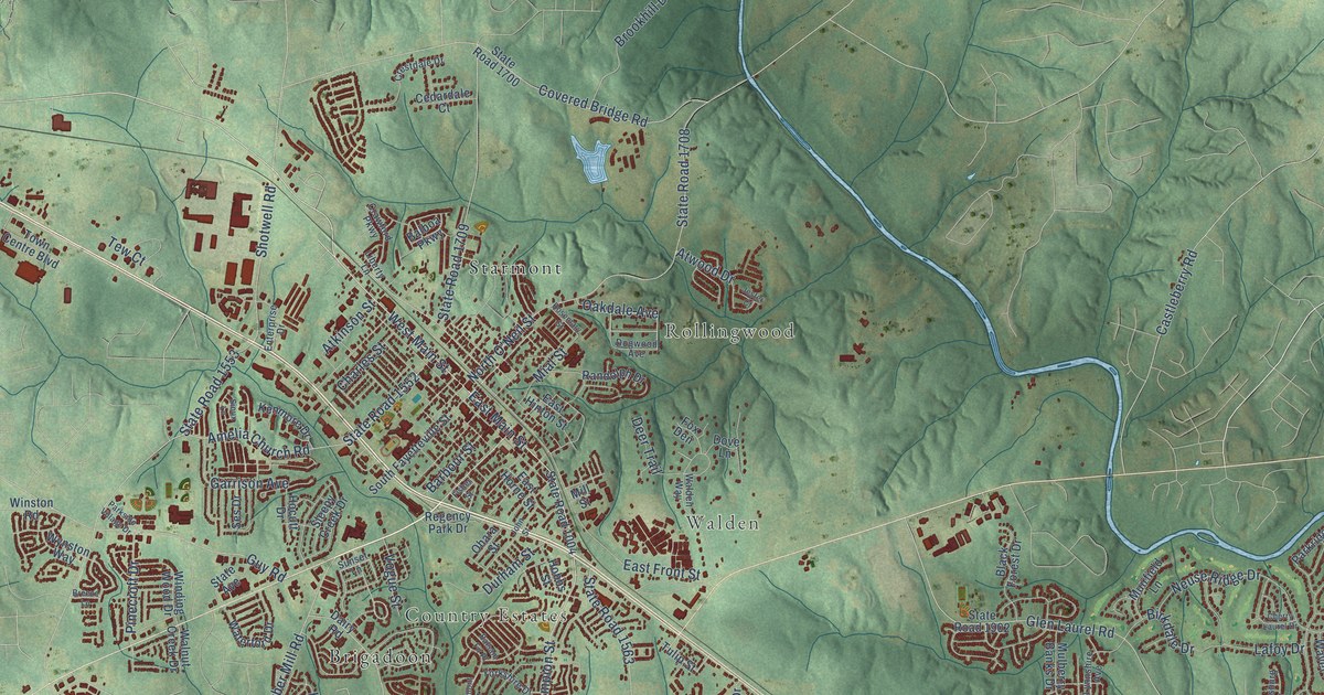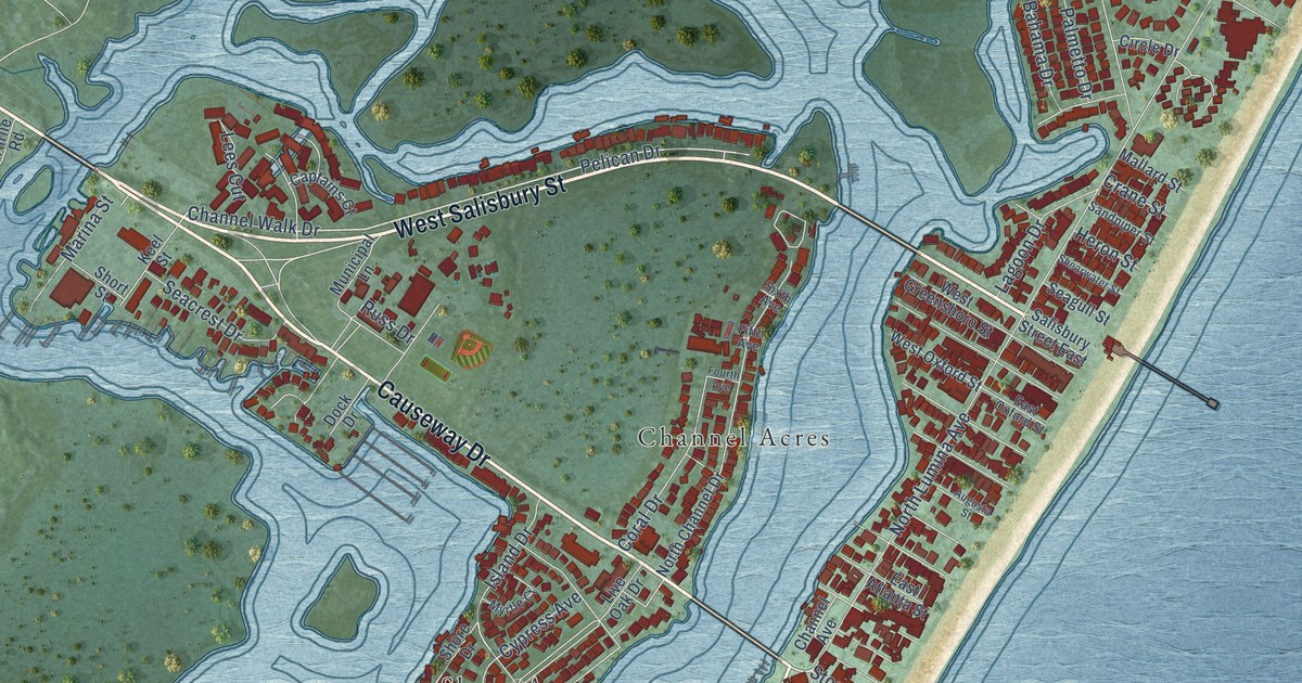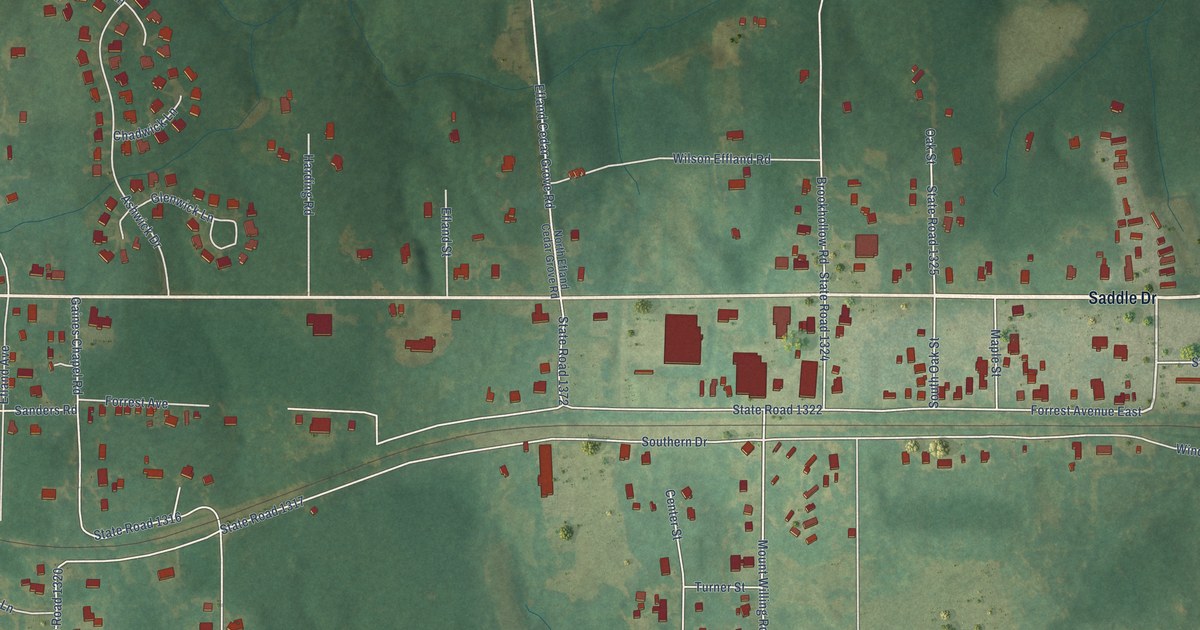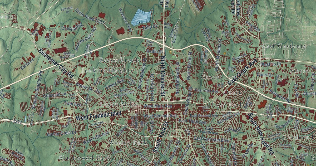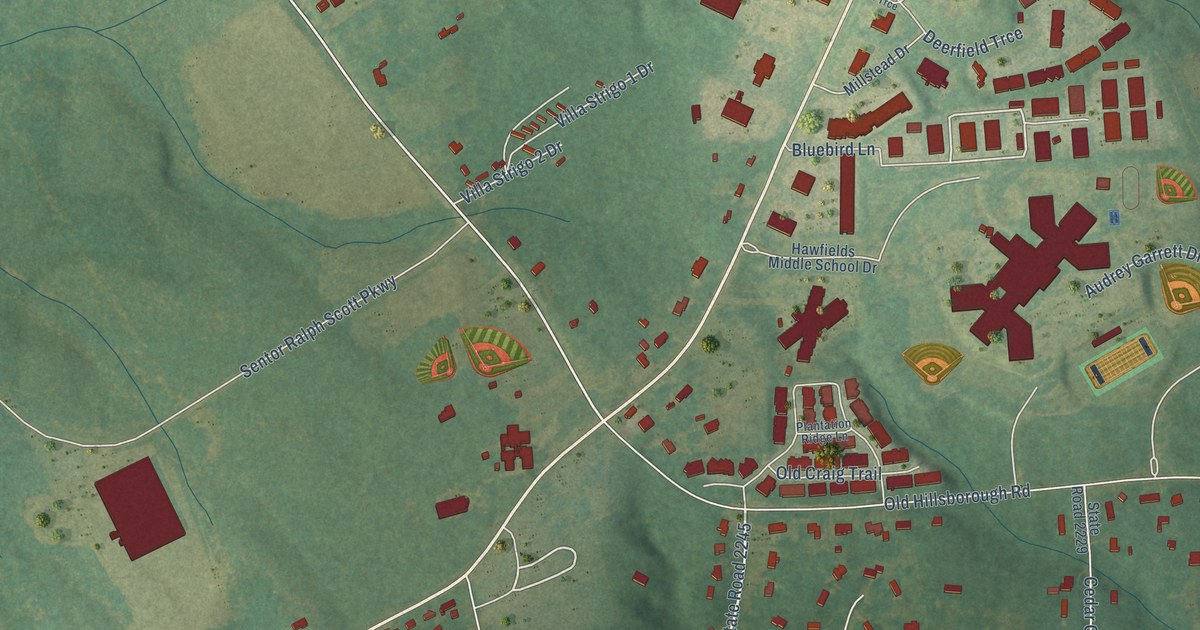
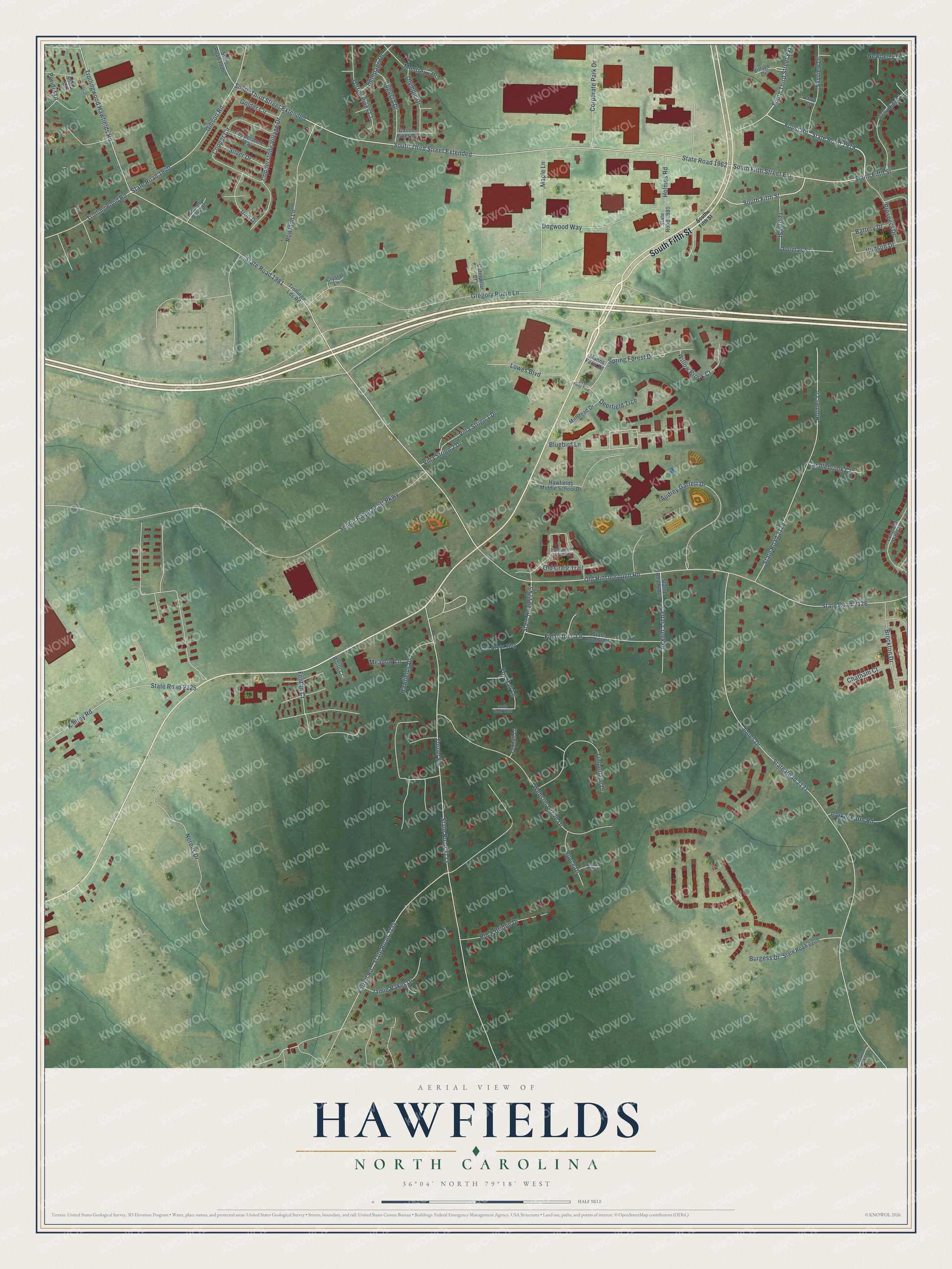
This beautifully detailed map of Hawfields, North Carolina was created in 2026 using aerial imagery combined with modern topographical, census, street and landmark data. It’s a one-of-a-kind view of Hawfields that combines accurate data with a vintage aesthetic. The map shows every building in its true location, many of the roads carry their names, and the shaded topographic relief shows the shape of the land.
Explore an aerial view of Hawfields, North Carolina
On the map you’ll find South Third Street Extension and South Third Street Extended, along with South Fifth Street, Foust Road, State Road 1979, State Road 2245, State Road 1981, Trollingwood Hawfields Road, Spring Forest Drive, State Road 1962, Bluebird Lane, Jones Drive, and more. If you look closely you can even find your house accurately drawn in its correct location. Zoom in on the preview to look for yours.
Did You Know?
From Internet Archive: "The Mebanes emigrated to America from the North of Ireland and settled in Pennsylvania, whence Alexander Mebane, the Elder, removed to Hawfields in Orange county prior to the Revolution."
Hawfields is a community in Alamance County.
Take a closer look at the Hawfields map
Names on this map
These names are printed on this map.
Streets and roads: South Fifth Street, Foust Road, State Road 1979, State Road 2245, South Third Street Extension, State Road 1981, Trollingwood Hawfields Road, Spring Forest Drive, State Road 1962, South Third Street Extended, Bluebird Lane, Jones Drive.
More street names, A to Z
Audrey Garrett Drive, Augusta Drive, Battery Drive, Bethpage Drive, Brockton Drive, Brook Valley Court, Burgess Drive, Candlebrook Court, Castle Pines Drive, Caterpillar Court, Cedar Creek Drive, Chatham Court, Copper Circle, Copperstone Village Drive, Copperstone Way, Corporate Park Drive, Country Park Drive, Crystal Lane, Dawn Court, Deerfield Trce, Deer Field Trce, Dogwood Way, Douglas Street, Eastwood Lane, Farrell Road, Fenton Court, Fieldstone Lane, Fox Hall Lane, Foxhall Lane, Gibson Road, Golder Circle, Gregory Poole Lane, Hawfields Drive, Hawfields Middle School Drive, Holly Ridge Lane, Holmes Lane, Holmes Road, Hudson Drive, Iron Drive, Jamie Baker Drive, Kimrey Road, Lobo Drive, Longleaf Pine Place, Lowes Boulevard, Manns Farm Road, Maple Lane, Meadow Lane, Millstead Drive, Montreux Drive, Nereus Drive, Newberry Drive, Old Arbor Way, Old Craig Trail, Old Hillsborough Road, Olympic Drive, Parker Farm Road, Peridot Drive, Plantation Ridge Lane, Plata Court, Prospect Drive, Rock Bridge Drive, Rowland Lane, Royce Drive, Sentor Ralph Scott Parkway, Silver Drive, Skyview Drive, South Fifth Street Extension, State Road 1936, State Road 1940, State Road 1980, State Road 2125, State Road 2126, State Road 2129, State Road 2131, State Road 2133, State Road 2134, State Road 2205, State Road 2229, State Road 2246, State Road 2256, Terrell Street, Timberlyne Drive, Torrey Pines Court, Trollingw Lds Road, Trollingwood Road, Turner Road, Village Drive, Villa Strigo 1 Drive, Villa Strigo 2 Drive, Webster Grove Drive, White Court, Willow Brook Court.
See it on a wall
The Hawfields map as a framed print. Swipe for more.


This beautifully detailed map of Hawfields makes an attractive addition to your office, library, or den, and it can even be used to teach children the geography and history of the area. It also makes a great gift for someone who left Hawfields and still calls it home. When you’re done exploring, click here to get your copy of the Hawfields map.