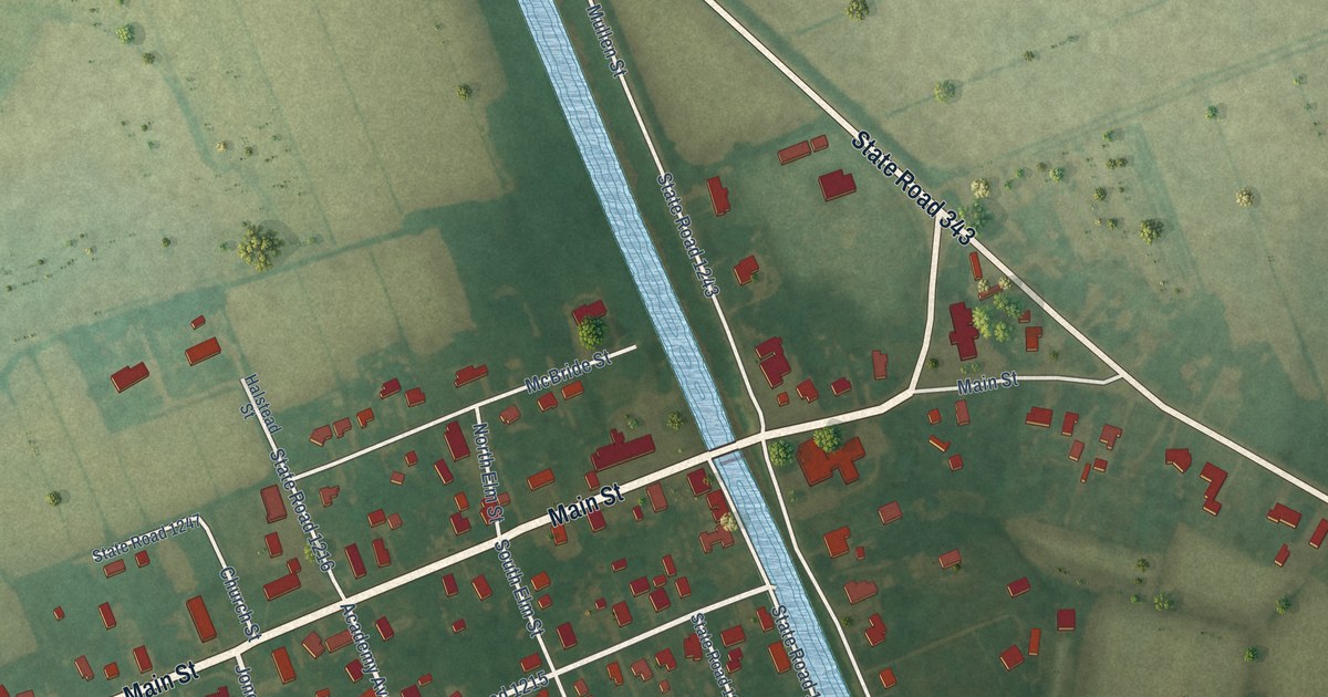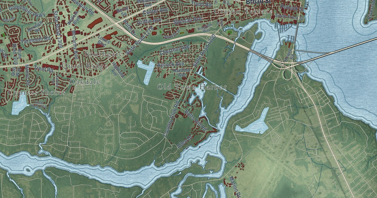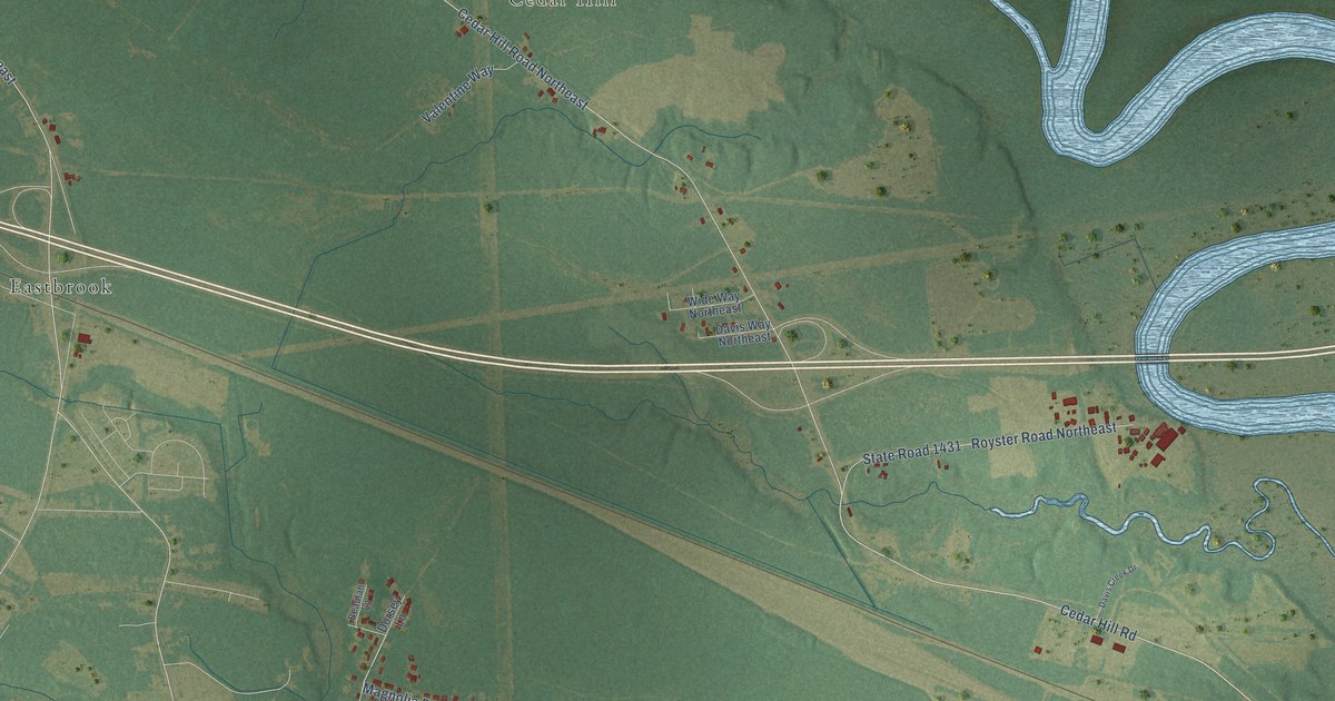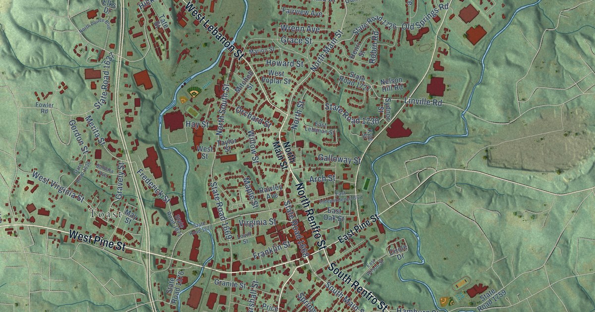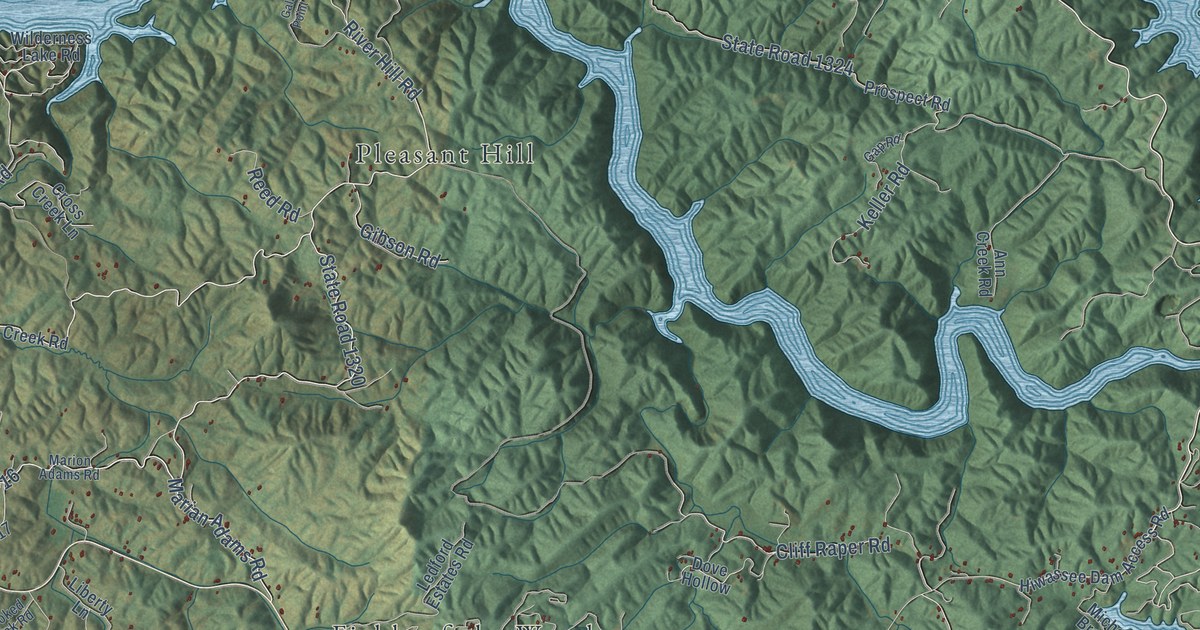
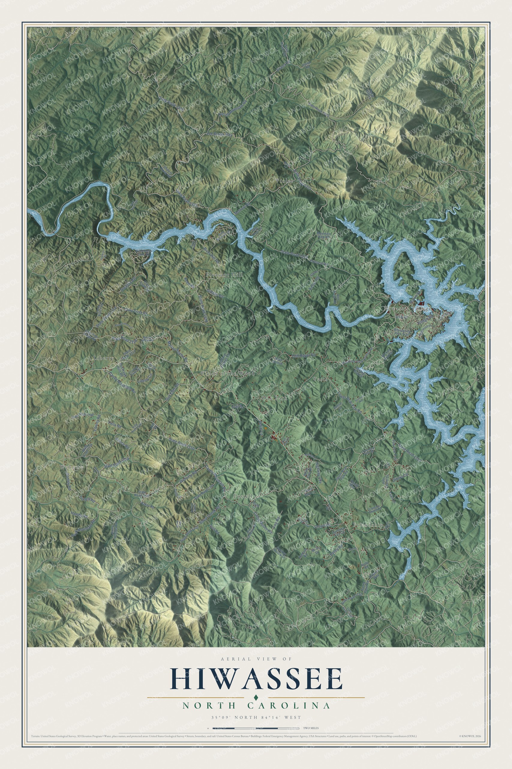
This beautifully detailed map of Hiwassee, North Carolina was created in 2026 using aerial imagery combined with modern topographical, census, street and landmark data. It’s a one-of-a-kind view of Hiwassee that combines accurate data with a vintage aesthetic. The map shows every building in its true location, many of the roads carry their names, and the shaded topographic relief shows the shape of the land.
Explore an aerial view of Hiwassee, North Carolina
On the map you’ll find Friendship, Wehutty, Pleasant Hill, Fields of the Wood, Violet, Postell, Vests, Liberty, and Oak Park, along with State Road 1314, River Hill Road, and more. If you look closely you can even find your house accurately drawn in its correct location. Zoom in on the preview to look for yours.
Did You Know?
From Internet Archive: "According to Cherokee tradition, a body of Creeks was already established near the mouth of Hiwassee while the Cherokee still had their main settlements upon the Little Tennessee."
Hiwassee is a community in Cherokee County.
Take a closer look at the Hiwassee map
Names on this map
These names are printed on this map.
Places: Friendship, Wehutty, Hiwassee Village, Pleasant Hill, Fields of the Wood, Violet, Postell, Vests, Liberty and Oak Park.
Streets and roads: State Road 1314, River Hill Road, Joe Brown Highway, State Road 1326, State Road 1323, State Road 1316, Village Road, Candy Mountain Road, Lower Bear Paw Road, State Road 1150, Cliff Raper Road, State Road 1318.
More street names, A to Z
Aerial Lane, Allen Cemetary Road, Ann Creek Road, Annie Jones, Artemis Way, Baker Road, Beech Lane, Buds Court, Burrell Mountain Road, Camp Creek Road, Candy Mount Heights, Carolina Fox Circle, Cedar Cliff Lane, Club Drive, Crooked Creek Road, Cross Creek Lane, Crowe Road, Dasali Way, Donely Road, Donley Road, Dove Hollow, East Pine Ridge Road, Evans Road, Fawn Lane, Felix Road, Friedship Church Road, Galax Point Lane, Gap Road, Gibson Road, Guy Eller Road, Hamby Road, Hedden Stiles Road, Highway 294, Hillmont Lane, Hill Road, Hiwassee Dam Access Road, Holly Road, Idle Hour Lane, Jenny Hughes Road, John Laurel Drive, Keller Road, Laurel Branch Road, Ledford Estates Road, Liberty Circle, Liberty Lane, Liberty Road, Log Road, Lower Bear Paws Road, Marian Adams Road, Marina Road, Marion Adams Road, Mi-Po Drive, Michen Branch, Micken Branch, Morrow Road, Mountain View Road, Nantahala Drive, Nature Valley Trail, Owassa Road, Pack Mountain Road, Paw Paw Trail, Prince Road, Prospect Road, Putt Putt Lane, Quinn Road, Quite Mountain Road, Radford Road, Red Hawk Hills Road, Reed Road, Reese Lane, Ridgewood Drive, Ruby Road, Seclusion Way, Shadwick Road, Sharing Lane, Shoal Creek Road, Shulers Creek Road, Sierra Circle, Sky Vis, Smokey Hollow Drive, Soda Pop Lane, State Road 1129, State Road 1130, State Road 1145, State Road 1147, State Road 1148, State Road 1152, State Road 1154, State Road 1156, State Road 1158, State Road 1160, State Road 1313, State Road 1317, State Road 1320, State Road 1322, State Road 1324, State Road 1325, State Road 1327, Suit Road, Sunny Point Road, Trail Road, Tulip Lane, Tunnel Drive, Upper Bear Paw Road, Valley Road, Ware Road, Wehutty Road, Whispering Pine Trail, White Pine Drive, Wilderness Lake Road.
See it on a wall
The Hiwassee map as a framed print. Swipe for more.


This beautifully detailed map of Hiwassee makes an attractive addition to your office, library, or den, and it can even be used to teach children the geography and history of the area. It also makes a great gift for someone who left Hiwassee and still calls it home. When you’re done exploring, click here to get your copy of the Hiwassee map.