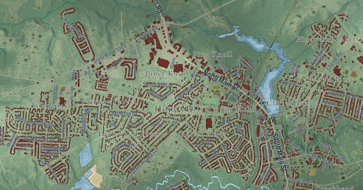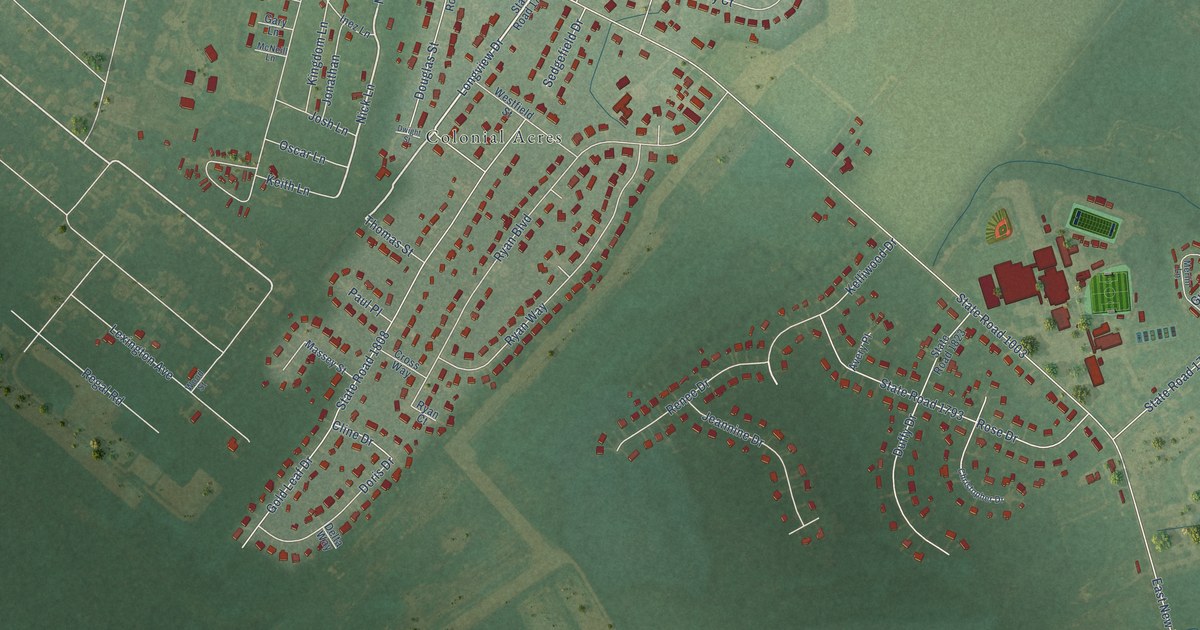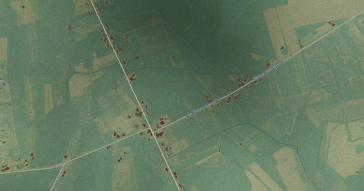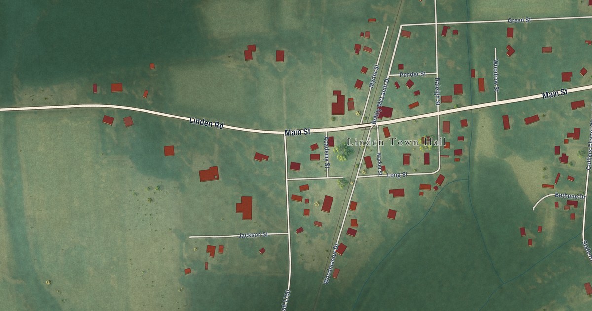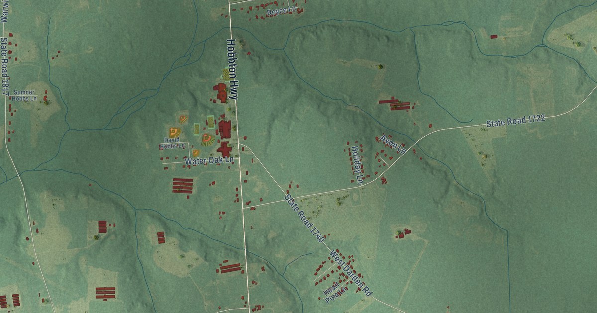
This beautifully detailed map of Hobbton, North Carolina was created in 2026 using aerial imagery combined with modern topographical, census, street and landmark data. It’s a one-of-a-kind view of Hobbton that combines accurate data with a vintage aesthetic. The map shows every building in its true location, many of the roads carry their names, and the shaded topographic relief shows the shape of the land.
Explore an aerial view of Hobbton, North Carolina
On the map you’ll find Monks Crossroads, along with Hobbton Highway, Hunter Road, Luke Hobbs Farm Road, Bradshaw Road, State Road 1817, State Road 1740, West Darden Road, State Road 1845, State Road 1722, Suttontown Road, State Road 1738, and more. If you look closely you can even find your house accurately drawn in its correct location. Zoom in on the preview to look for yours.
Take a closer look at the Hobbton map
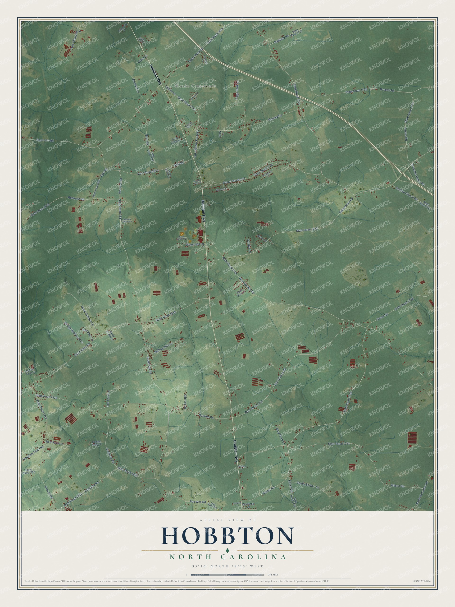
Names on this map
These names are printed on this map.
Places: Monks Crossroads.
Streets and roads: Hobbton Highway, Hunter Road, Luke Hobbs Farm Road, Bradshaw Road, State Road 1817, State Road 1740, West Darden Road, State Road 1845, State Road 1722, Suttontown Road, State Road 1738, State Road 1715.
More street names, A to Z
Avon Lane, Bluebird Lane, Boyette Road, Britt Road, Carr Church Road, Carr Road, Casey Road, Cedar Point Road, Cleophus Lane, Cottonwood Lane, Country Hill Lane, Country Ridge Lane, Crawford Lane, Creekside Drive, Daughtry Town Road, David Hobbs Lane, David Jordan Lane, Enoch Road, Festus Road, George Autry Lane, George McKenzie Lane, Gilmore Lane, Glory Lane, Godwin Farm Lane, Goshen Church Road, Great Cohaire Lane, Heart Pine Lane, Holiday Lane, Honrine Road, Keener Road, Kenan Weeks Road, Lassiter Road, Lee Farm Lane, Lockamy Road, Maple Leaf Lane, Mary Rose Lane, Massey Road, North McCullen Road, Pee Wee Road, Piggy Bank Lane, Pork Chop Hill Lane, Preacher Henry Road, Preston Lane, Rawhide Road, Red Barn Lane, Roanoke Road, Rolling Hills Lane, Rosin Hill Road, Royce Lane, Sandy Bottom Lane, Share Cake Road, Simmons Road, State Road 1636, State Road 1711, State Road 1713, State Road 1714, State Road 1723, State Road 1724, State Road 1731, State Road 1736, State Road 1737, State Road 1739, State Road 1741, State Road 1747, State Road 1802, State Road 1803, State Road 1818, State Road 1819, State Road 1820, State Road 1821, State Road 1822, State Road 1824, State Road 1843, Steed Farms Lane, Sumner Hobbs Lane, Surles Harmon Lane, Turtle Creek Lane, Usher Lane, Warwick Road, Water Oak Lane, Whit Road, Wilson Road, Windsong Lane, Wineberry Lane.
See it on a wall
The Hobbton map as a framed print. Swipe for more.


This beautifully detailed map of Hobbton makes an attractive addition to your office, library, or den, and it can even be used to teach children the geography and history of the area. It also makes a great gift for anyone who grew up in Hobbton or moved away. When you’re done exploring, click here to get your copy of the Hobbton map.