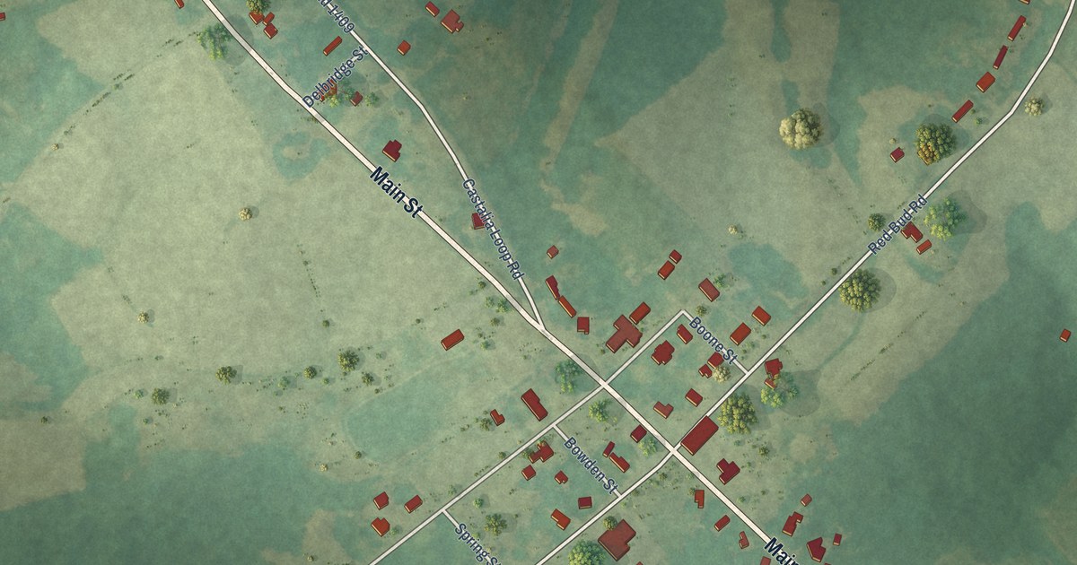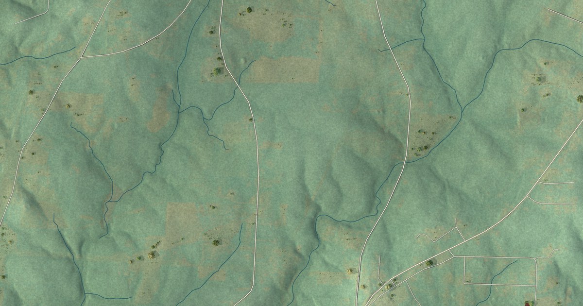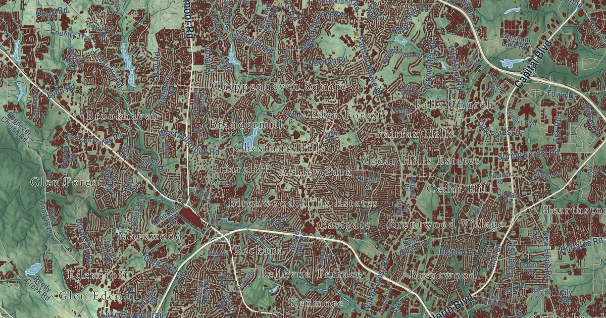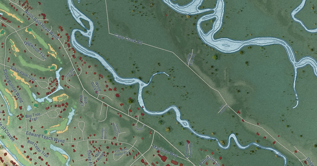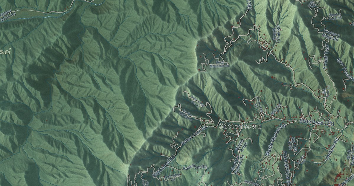
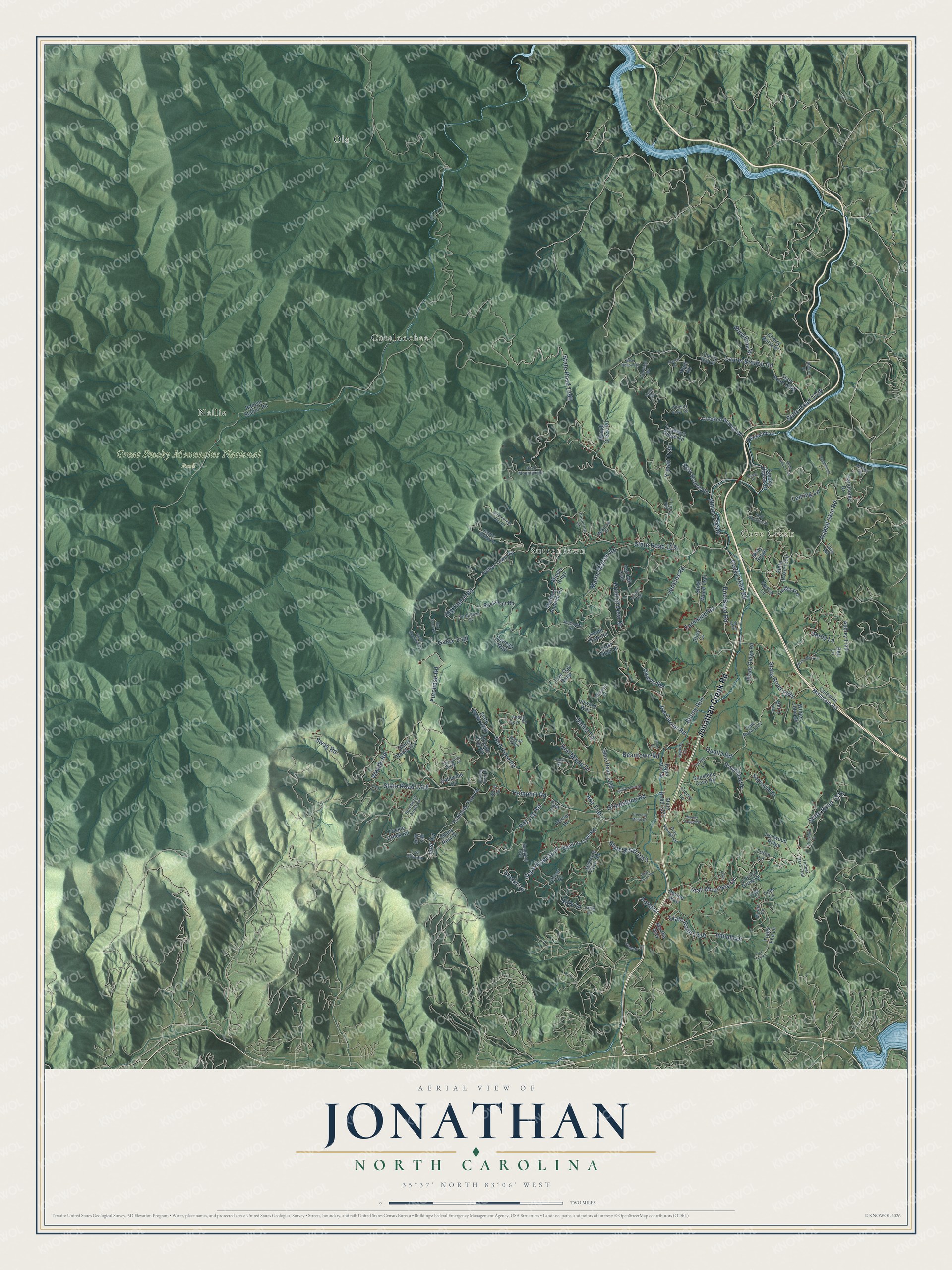
This beautifully detailed map of Jonathan, North Carolina was created in 2026 using aerial imagery combined with modern topographical, census, street and landmark data. It’s a one-of-a-kind view of Jonathan that combines accurate data with a vintage aesthetic. The map shows every building in its true location, many of the roads carry their names, and the shaded topographic relief shows the shape of the land.
Explore an aerial view of Jonathan, North Carolina
On the map you’ll find Cove Creek, Great Smoky Mountains National Park, Ola, Cataloochee, Suttontown, and Nellie, along with Jonathan Creek Road, Cove Creek Road, State Road 1395, State Road 1318, Hemphill Road, State Road 1311, and more. If you look closely you can even find your house accurately drawn in its correct location. Zoom in on the preview to look for yours.
Did You Know?
From Internet Archive: "Morris, Jonathan D. (son of Thom&s Morris), w-as born in Ohio in 1804; received a public school education; studied law and began practice at Batavia, Ohio; for twenty years clerk of the courts of Clermont County; elected a Representative from Ohio to the Thirtieth and Thirty -first Congresses as a Democrat; died at Connersville, Ind., May 16, 1875."
Jonathan is a community in Haywood County.
Take a closer look at the Jonathan map
Names on this map
These names are printed on this map.
Places: Cove Creek, Great Smoky Mountains National Park, Ola, Cataloochee, Suttontown and Nellie.
Streets and roads: Jonathan Creek Road, Cove Creek Road, State Road 1395, State Road 1318, Hemphill Road, State Road 1311, State Road 1338, White Oak Road, Utah Mountain Drive, State Road 1331, Rabbit Skin Road, Swag Road.
More street names, A to Z
Abbey Cove Road, Aqua Vis Lp, Asa Trail, Aubrey Trail, Beantown Road, Bear Hollow Road, Bell Lane, Bent Pine Drive, Berry Lane, Big Laurel Road, Bob Boyd Road, Bow North Arrow Cv, Boyd Farm Road, Boyd Mountain Road, Bunny Run, Cagle Drive, Candlelight Lane, Cato Road, Cedarwood Drive, Cherry Berry Drive, Cherry Hill Drive, Cicero Lane, Coleman Mountain Road, Colt Road, Connies Cv, Corner Drive, Crooked Branch Road, Crystal Tree Drive, Dahlia Lane, Derby Lane, Devine Way, Eliza Cv, Erwin Lane, Esler Branch Road, Farmland Road, Foggy Cv, Forbidden Cv, Galax Trail, Gatewind Drive, Germany Cove Road, Gray Squirrel Drive, Grindstone Road, Handsome Drive, Hanks Road, Harleys Cv, Hazen Drive, Heath Peak Road, His Way, Holly Berry Lane, Hst Oak Trail, Impala Drive, Ironwood Ridge, Jaybird Lane, Jenkins Road, Joe Carver Road, Keull Road, Kitty Lane, Laras Lane, Last Stop Lane, Laurel Branch Road, Leming Lane, Lentini Drive, Lindera Lane, Lisa Lane, Live Oak Loop, Locust Grove Drive, Lono Lane, Lost Cove Road, Lost Cv, Lucy Lane, Marquis Lane, Martha Way, Mattie Marion Road, Mayali Trail, McKinzie Place, Medford Hannah Road, Middle Ridge, Mount Valley Road, Mystic Cv, Ned Cove Road, Old Time Lane, Oliver Drive, Oswego Way, Owens Road, Pansy Place, Panther Springs Road, Penny Lane, Pinecrest Lane, Pinto Place, Point of View Drive, Pot Leg Road, Potts Drive, Precious Metal Drive, Prosperity Ridge Road, Purchase Road, Qualla Road, Quiet Mountain Road, Ranger Station Road, Red Maple Drive, Riley Ridge, Riverwind Drive, Roaring Creek Lane, Roberta Drive, Rockmont Road, Rough Creek Road, Seay Mountain Drive, Sequoyah Drive, Shady Rest Drive, Shady Ridge Road, Shelton Cove Road, Singleton Drive, Smoky Hollow Drive, Songbird Trail, Spellbound Road, Star Crest Drive, State Road 1310, State Road 1313, State Road 1314, State Road 1317, State Road 1319, State Road 1320, State Road 1321, State Road 1324, State Road 1348, State Road 1349, State Road 1350, State Road 1364, Stick Weed Trail, Strickland Drive, Sunshine Cove Road, Sutton Town Road, Teaberry Ridge Road, Timber Barn Trail, Trails End Lane, Tree Top Lane, Trickle Creek Road, Triton Lane, Trotters Trail, Tumbling Fork Road, Upward Way, Warm Cv, Wild Turkey Run Road, Winter John Cv, Woodmore Drive, Woods Road, Wrights Cove Road, Yonah Trail, Zurich Lane.
See it on a wall
The Jonathan map as a framed print. Swipe for more.


This beautifully detailed map of Jonathan makes an attractive addition to your office, library, or den, and it can even be used to teach children the geography and history of the area. It also makes a great gift for anyone who grew up in Jonathan or moved away. When you’re done exploring, click here to get your copy of the Jonathan map.