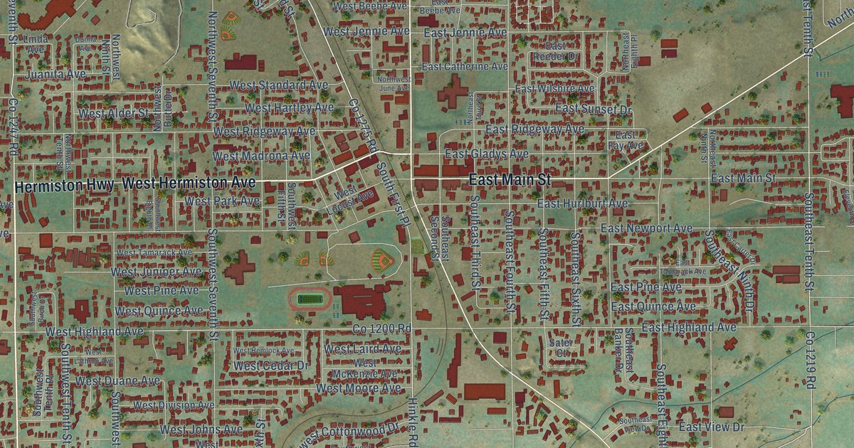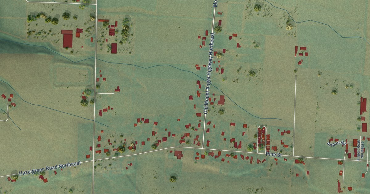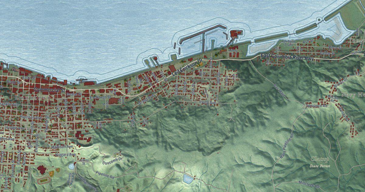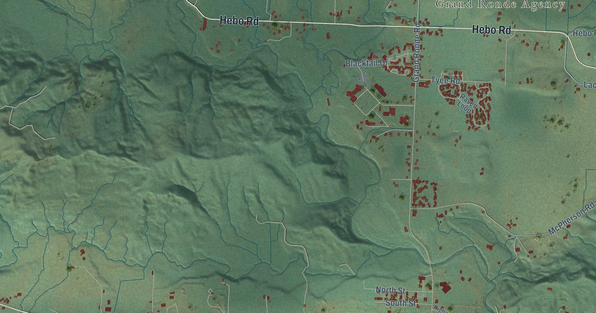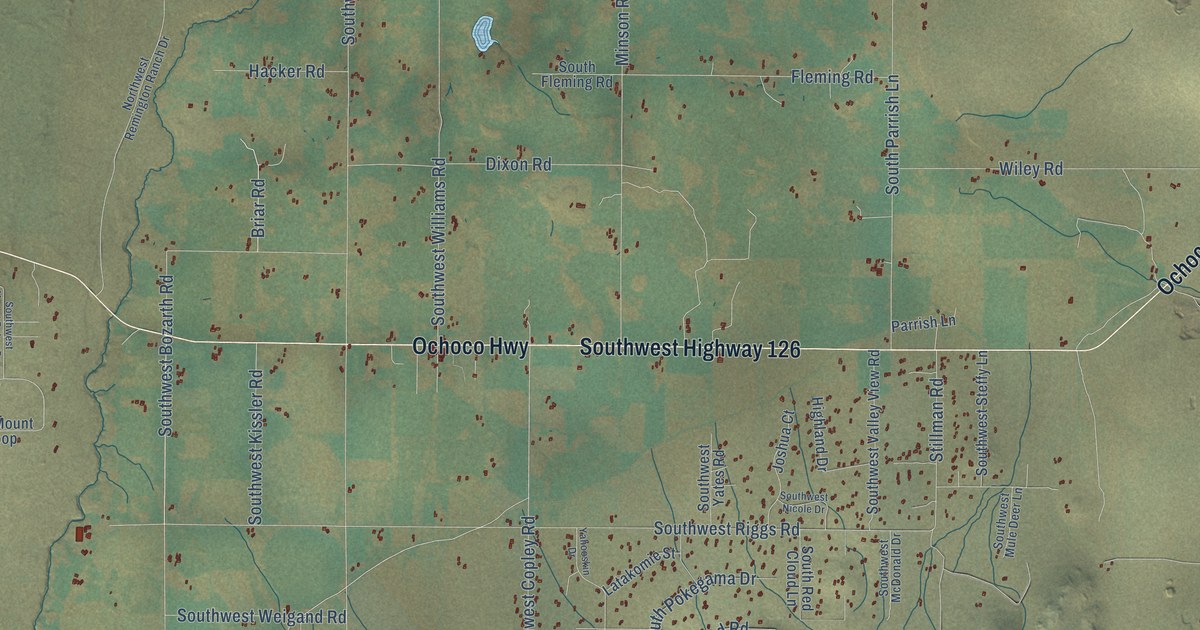
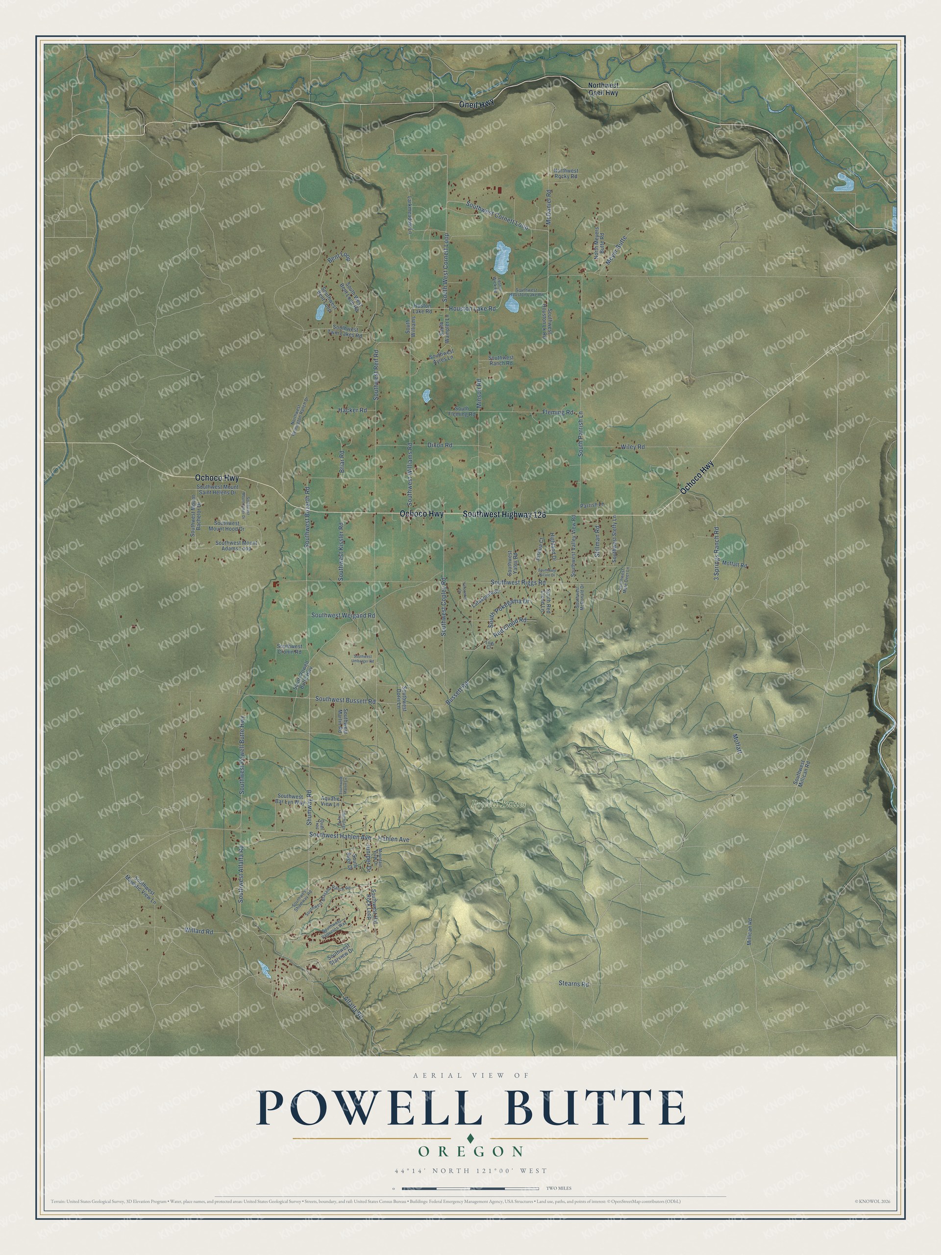
This beautifully detailed map of Powell Butte, Oregon was created in 2026 using aerial imagery combined with modern topographical, census, street and landmark data. It’s a one-of-a-kind view of Powell Butte that combines accurate data with a vintage aesthetic. The map shows every building in its true location, many of the roads carry their names, and the shaded topographic relief shows the shape of the land.
Explore an aerial view of Powell Butte, Oregon
On the map you’ll find Powell Buttes and Moffatt, along with Southwest Highway 126, Ochoco Highway, Oneil Highway, Shumway Road, Southwest Cornett Loop, Houston Lake Road, Southwest Bussett Road, Southwest Powell Butte Highway, Bent Loop, and more. If you look closely you can even find your house accurately drawn in its correct location. Zoom in on the preview to look for yours.
Take a closer look at the Powell Butte map
Names on this map
These names are printed on this map.
Places: Powell Buttes.
Streets and roads: Southwest Highway 126, Ochoco Highway, Oneil Highway, Shumway Road, Southwest Cornett Loop, Houston Lake Road, Southwest Bussett Road, Southwest Powell Butte Highway, Moffatt, South West Cornett Loop, Bent Loop, Southwest Copley Road.
More street names, A to Z
3 Springs Ranch Road, Alfalfa Road, Aquatie View Lane, Briar Road, Bussett Road, Dixon Road, Fleming Road, Hacker Road, Hahlen Avenue, Highland Drive, Huston Lake Road, Joshua Court, Juniper Drive, Larkmeadow Lane, Latakomie Street, Lester Wick Road, Lodi Court, McDaniel Road, Meyer Butte, Millican Road, Minson Road, Moffatt Road, Mountain View Drive, North Meyers Butte Road, Northwest Oneil Highway, Northwest Remington Ranch Drive, Northwest Rocky Road, Parrish Lane, Quail Trail, Red Cloud Road, South Fleming Road, South Parrish Lane, South Pokegama Drive, South Powell Butte Highway, South Red Cloud Lane, South Sage Drive, South Sego Lily Road, South Wampler Lane, Southwest Alfalfa Road, Southwest Ayres Lane, Southwest Bar Lyn Way, Southwest Bent Loop, South West Bent Loop Road, Southwest Bozarth Road, Southwest Brasada Ranch Road, Southwest Cronin Road, Southwest Doris Lane, Southwest Hahlen Avenue, Southwest Hat Rock Loop, Southwest Houston Lake Road, Southwest Houston Lk Road, Southwest Kissler Road, Southwest Majestic View Lane, Southwest Martin Lane, Southwest Martin Road, Southwest McDonald Drive, Southwest Millican Road, Southwest Mount Adams Loop, Southwest Mount Bachelor Drive, Southwest Mount Baker Drive, Southwest Mount Hood Drive, Southwest Mount Saint Helens Drive, Southwest Mule Deer Lane, Southwest Nicole Drive, Southwest Ranch Road, Southwest Reif Road, Southwest Riggs Road, Southwest Shumway Road, Southwest Starview Drive, Southwest Steffy Lane, Southwest Twin Lakes Road, Southwest Umbarger Road, Southwest Valley View Road, Southwest Vaqueros Way, Southwest Weigand Road, Southwest Williams Road, Southwest Yates Road, South Williams, Stearns Road, Stillman Road, Wiley Road, Willard Road, Yahooskin Drive.
See it on a wall
The Powell Butte map as a framed print. Swipe for more.


This beautifully detailed map of Powell Butte makes an attractive addition to your office, library, or den, and it can even be used to teach children the geography and history of the area. It also makes a great gift for someone who left Powell Butte and still calls it home. When you’re done exploring, click here to get your copy of the Powell Butte map.