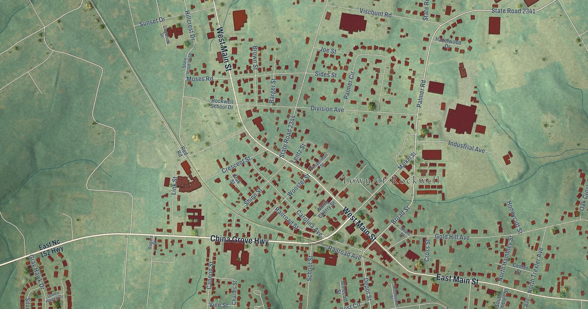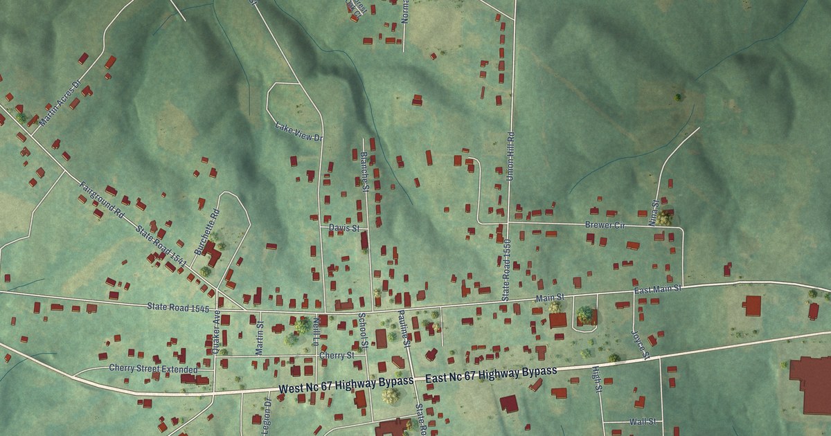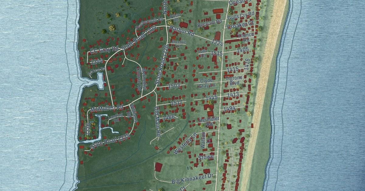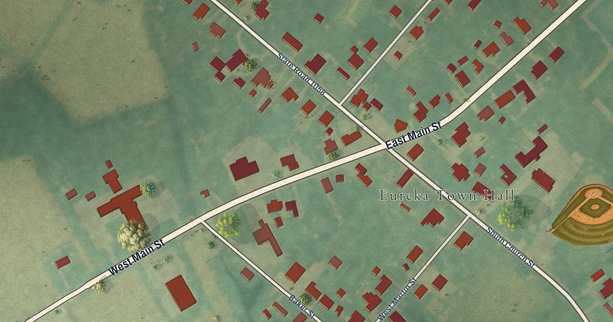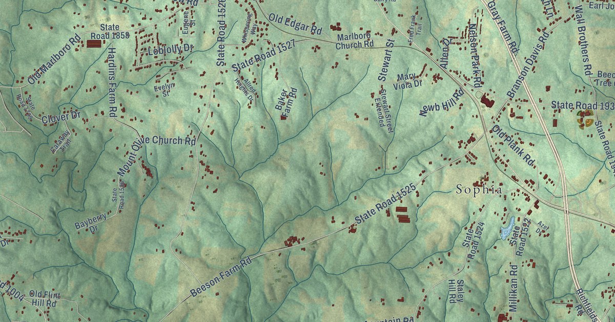
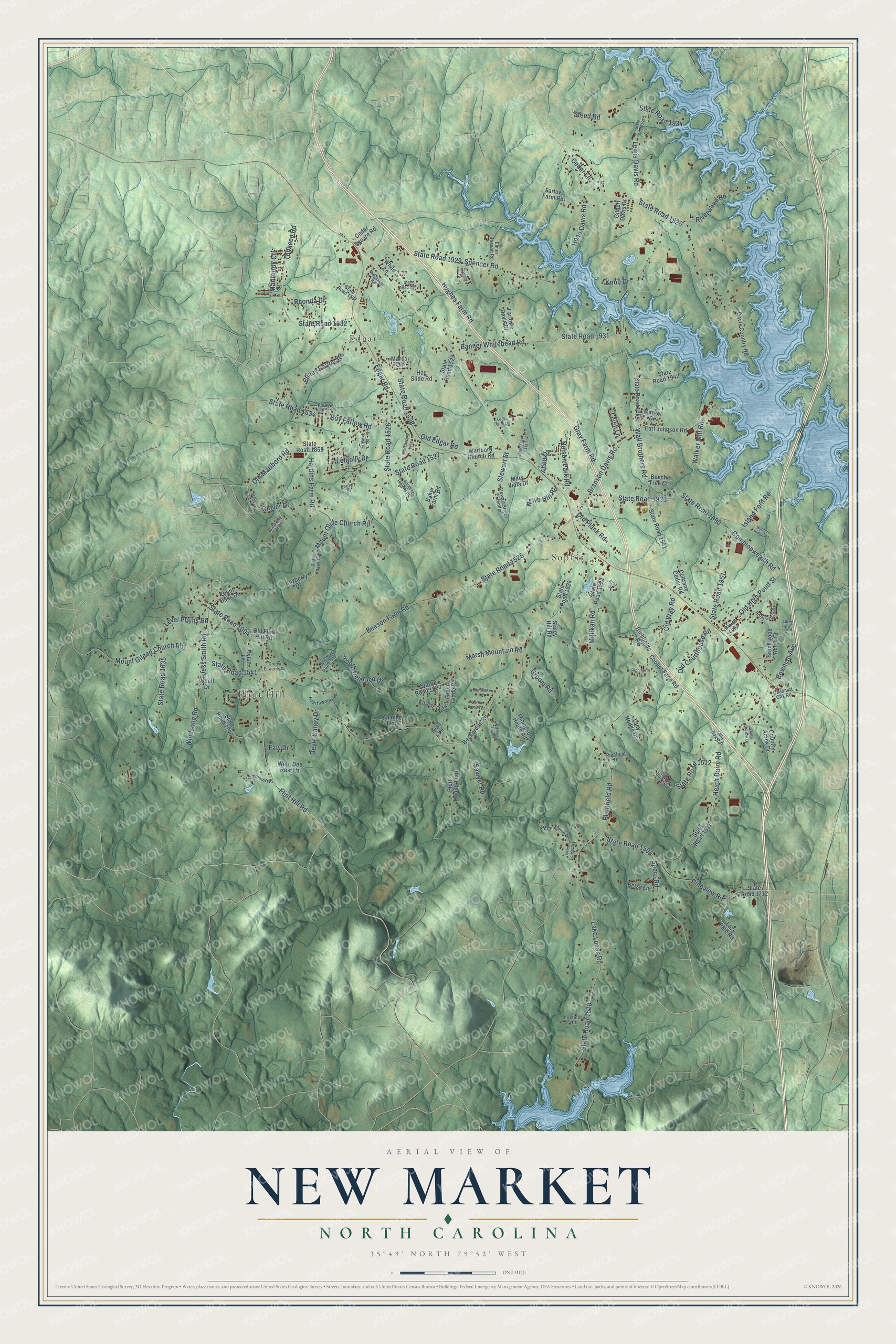
This beautifully detailed map of New Market, North Carolina was created in 2026 using aerial imagery combined with modern topographical, census, street and landmark data. It’s a one-of-a-kind view of New Market that combines accurate data with a vintage aesthetic. The map shows every building in its true location, many of the roads carry their names, and the shaded topographic relief shows the shape of the land.
Explore an aerial view of New Market, North Carolina
On the map you’ll find Sophia, Flint Hill, and Edgar, along with Flint Hill Road, Cedar Lane, Old High Point Street, State Road 1518, Edgar Road, State Road 1526, Beeson Farm Road, State Road 1525, Branson Davis Road, and more. If you look closely you can even find your house accurately drawn in its correct location. Zoom in on the preview to look for yours.
Did You Know?
From Internet Archive: "Landing at AND ITS HEROES. 419 Baltimore, he subsequently married a Miss Joanna Goade, and settled in then Augusta, now Rockingham County, in the Valley of Virginia, six miles south-west of where the little village of New Market was subsequently located."
New Market is a community in Randolph County.
Take a closer look at the New Market map
Names on this map
These names are printed on this map.
Places: Sophia, Flint Hill and Edgar.
Streets and roads: Flint Hill Road, Cedar Lane, Old High Point Street, State Road 1518, Edgar Road, State Road 1526, Beeson Farm Road, State Road 1525, Branson Davis Road, State Road 1004, Plainfield Road, State Road 1926.
More street names, A to Z
Allen Drive, Allred Circle, Allred Heights Drive, Apache Trail, Azel Drive, Baker Farm Road, Banner Whitehead Road, Bayberry Drive, Beckerdite Road, Beech Tree Court, Betsy Lane, Bowman Avenue, Brookshire Court, Brookwood Acres Drive, Brown Loop, Caraway Trail, Cedar Square Road, Chesnutt Oak Road, Clover Drive, Coltrane Cedar Road, Commonwealth Road, Cooper Farm Road, Country Acres Drive, Crotts Edwards Drive, Dairy Breeze Drive, Davis Country Road, Devie Canoy Drive, Dylan Lane, Earl Johnson Road, Eden Forest Drive, Elmer Beeson Road, Eugene Street, Evelyn Street, Farlowe Davis Drive, Farlow Farm Road, Faw Drive, Forest Trail, Foxfield Road, Fred Frank Trail, Giant Oaks Drive, Gilbert Davis Drive, Gray Farm Road, Green Glade Road, Groom Road, Hammond Road, Hardins Farm Road, Hearthwood Road, Heath Dairy Road, Hog Slide Road, Hohn Davis Road, Holly Grove Drive, Hughes Farm Road, Hunters Ridge Road, Island Ford Road, Ivory Lane, Jamie Davis Road, Jasper Drive, Jess Smith Road, Knoll Drive, Lacy Hodge Drive, Lake Lucas Road, Lazy Pine Road, Leigh Lane, Level Plains Road, Lewis Davis Road, Loblolly Drive, Loflin Dairy Road, Loflin Farlow Lane, Lula Ray Road, Marcal Circle, Market Drive, Marlboro Church Road, Marlbrook Court, Marsh Mountain Road, Mary Viola Drive, Millikan Road, Morningdew Drive, Mount Gilead Church Road, Mount Olive Church Road, Nelson Park Road, Newb Hill Road, Old Courthouse Road, Old Edgar Road, Old Flint Hill Road, Old Marlboro Road, Old Plank Road, Old Way Road, Pinefield Drive, Pineview Road, Pliney Farlow Road, Plott Hound Trail, Rhonda Drive, Rich Farm Trail, Richfields Road, Ridgeview Road, Riverwood Road, Roy Farlow Road, Sawyer Road, Sparky Lane, Spencer Road, Spero Road, Staley Hill Road, State Road 1504, State Road 1511, State Road 1512, State Road 1522, State Road 1523, State Road 1524, State Road 1527, State Road 1528, State Road 1529, State Road 1531, State Road 1532, State Road 1534, State Road 1536, State Road 1540, State Road 1541, State Road 1635, State Road 1712, State Road 1716, State Road 1729, State Road 1858, State Road 1929, State Road 1930, State Road 1931, State Road 1933, State Road 1934, State Road 1936, State Road 1941, State Road 1942, State Road 1944, State Road 1951, State Road 1990, Steed Road, Stewart Street, Stewart Street Extended, Thompson Heath Road, Tobacco Road, Turner Dairy Road, Udell Drive, Walker Mill Road, Wall Brothers Road, Whispering Way, White Lane, Windsong Road, Winn Dee Rest Lane, Youth Unlimited Drive.
See it on a wall
The New Market map as a framed print. Swipe for more.


This beautifully detailed map of New Market makes an attractive addition to your office, library, or den, and it can even be used to teach children the geography and history of the area. It also makes a great gift for anyone who grew up in New Market or moved away. When you’re done exploring, click here to get your copy of the New Market map.