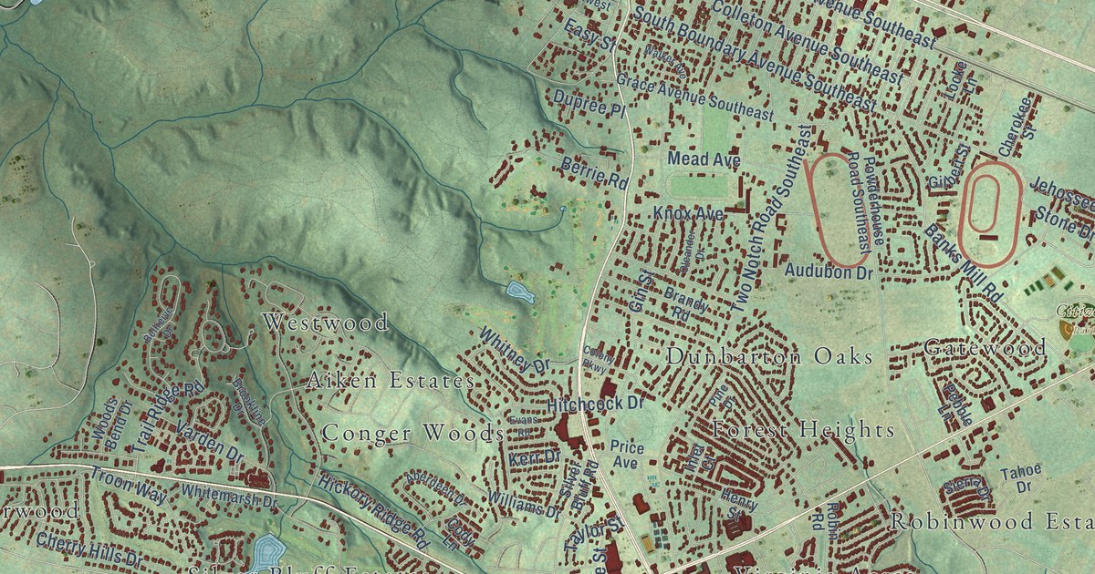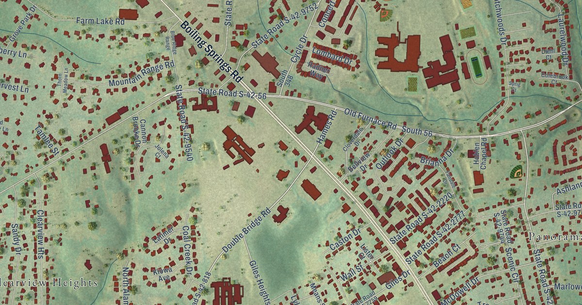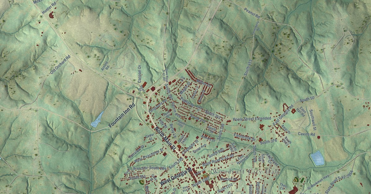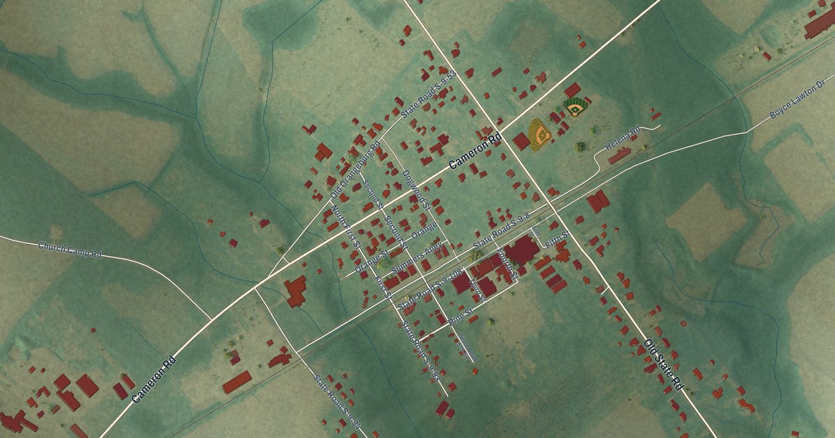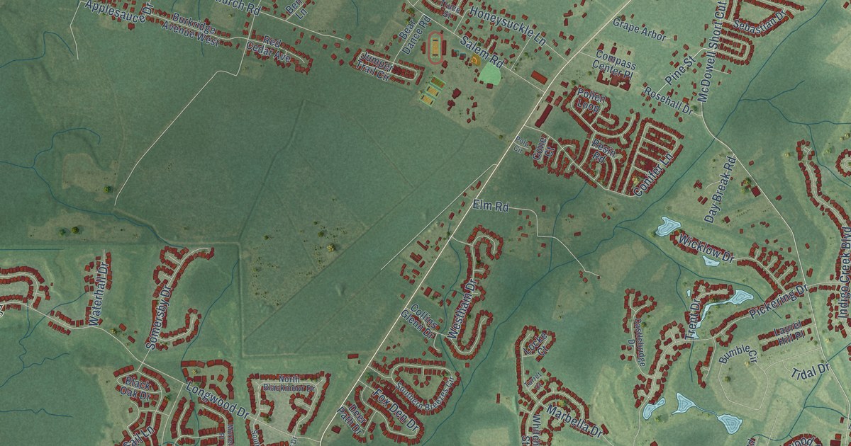
This beautifully detailed map of Burgess, South Carolina was created in 2026 using aerial imagery combined with modern topographical, census, street and landmark data. It’s a one-of-a-kind view of Burgess that combines accurate data with a vintage aesthetic. The map shows every building in its true location, many of the roads carry their names, and the shaded topographic relief shows the shape of the land.
Explore an aerial view of Burgess, South Carolina
On the map you’ll find Longwood Landing, Jensens, and South US Highway 17 Bus, along with Burgess Road, Sunnyside Avenue, Highwood Circle, Winding River Drive, Low Country Loop, Grey Moss Road, Plaza Drive, Carolina Drive, The Boulevard, and more. If you look closely you can even find your house accurately drawn in its correct location. Zoom in on the preview to look for yours.
Did You Know?
From Internet Archive: "On the 27th October. 1864, at the battle of Burgess' Mill he rode over the field seemingly as unconcerned as though he was looking at a plantation."
Burgess is a community in Horry County.
Take a closer look at the Burgess map
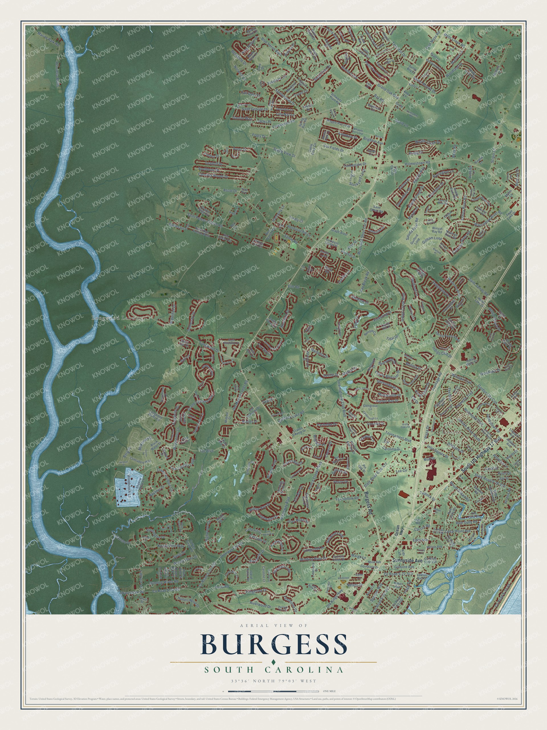
Names on this map
These names are printed on this map.
Places: Longwood Landing and Jensens.
Streets and roads: South US Highway 17 Bus, Burgess Road, Sunnyside Avenue, Highwood Circle, Winding River Drive, Low Country Loop, Grey Moss Road, Plaza Drive, Carolina Drive, The Boulevard, Palmetto Trail, McDowell Short Cut Road.
More street names, A to Z
Abbott Lane, Appian Way, Applesauce Drive, Ascot Drive, Ashley Cove Drive, Ashley River Road, Atlantic Avenue, Atwood Place, Avery Drive, Avondale Drive, B-N Lane, Bahama Drive, Baker Avenue, Bandage Court, Barlowe Court, Barrineau Court, Barrington Lane, Battey Drive, Bayhill Court, Bay Road, Baywood Circle, Bear Dance Road, Beaufort River Drive, Bella Road, Belmonte Drive, Ben Lane, Berg Street, Black Oak Drive, Black Water Drive, Blade Beak Lane, Blue Heron Boulevard, Blue Jay Drive, Bonita Loop, Botany Loop, Bragg Drive, Brampton Drive, Brighton Avenue, Broad River Road, Brookside Drive, Brown Bark Lane, Buddy Lane, Bumble Circle, Burkridge Avenue West, Camp Hill Circle, Canal Drive, Canborough Lane, Cane Break Way, Carolina Oaks Drive, Carolina Woods Drive, Caroline Court, Carson Road, Cascade Drive, Castlebridge Drive, Castle Pines Lane, Catawba River Road, Cattle Drive Circle, Cedar Point Avenue, Cedar Trace Drive, Chamberlin Road, Chanted Drive, Chapel Ridge Circle, Chenoa Drive, Cherry Blossom Drive, Chicory Lane, Cimo Drive, Circle Lane, Collins Creek Drive, Collins Creek Road, Collins Glenn Drive, Colonial Circle, Colony Drive, Compass Center Place, Comradery Way, Cone Court, Conifer Lane, Cooper River Road, County Road S-22-62, County Road S-22-65, County Road S-22-148, County Road S-22-272, County Road S-22-392, County Road S-22-557, County Road S-22-573, County Road S-22-656, County Road S-22-697, Courtfield Drive, Court Street, Craven Swamp Drive, Creek Harbour Circle, Creekside Drive, Curran Street, Cypress Creek Drive, Cypress Estates Drive, Dave Carr Court, David Lane, Day Break Road, Deer Path Drive, Deer Trace Circle, Dinger Court, Dowenbury Drive, Dreamland Drive, Duel Court, Dunrobin Lane, Eden Avenue, Edenborough Drive, Edgewater Drive, Edgewood Drive, Edisto Court, Elk Drive, Elm Road, Elmwood Circle, Emma Gause Place, Enoree Court, Eva Bay Drive, Fern Moss Road, Firethorne Drive, Flagg Street, Footy Drive, Forbes Drive, Four Leaf Lane, Fox Den Drive, Fox Hollow Road, Freewoods Road, Fringetree Drive, Frontage Road, Ganton Way, Garden City Con, Gator Lane, Gazebo Drive, Genesis Drive, Gillham Loop, Gilmore Avenue, Glengrove Lane, Grand Cypress Way, Grandhaven Drive, Grand Oak Boulevard, Grape Arbor, Graytwig Circle, Greeneedle Place, Green Heron Drive, Greenway Boulevard, Green Wing Drive, Guilford Loop, Hagar Brown Road, Harbor Bay Drive, Harmony Lane, Hatteras River Road, Hawks Nest Circle, Heartland Court, Henrietta Bluffs, Heron Lake Court, Hidden Lake Drive, Holmestown Road, Honeydew Road, Honeysuckle Lane, Hunters Wood Drive, Hyacinth Loop, Hyatt Lane, Indian Wells Court, Indigo Club Drive, Indigo Creek Boulevard, Inez Road, Inlet Square Drive, International Club Boulevard, Isle of Palms Road, Jacks Place, Jamestown Drive, Jay Street, Jensen Drive South, Jensens Drive North, Journeys End Road, Jumper Trail Circle, Kestrel Court, Kiawah Loop, Kids Lane, King Arthur Drive, Kings Grant Drive, Kittiwake Lane, Knollwood Drive, Knotty Pine Way, Knox Lane, Labruce Lane, Lady Banks Lane, Laquinta Loop, Laurel Bay Drive, Laurel Drive, Laurel Hill Place, Laurel Woods Drive, Lawton Hall Drive, Leadoff Drive, Lee Circle, Leeds Circle, Lee Street, Leeward Lane, Lely Drive, Lilly Naz Lane, Limestone Street, Little Pee Dee Road, Locke Court, Longcreek Drive, Longhorn Drive, Long Ridge Drive, Longwood Bluffs Circle, Longwood Drive, Lumber River Road, Madrid Drive, Maiden Lane, Mall Drive, Malric Place, Marbella Drive, Margo Lane, Marina Drive, Marine Park Road, Marion Lane, Marsh Hawk Drive, Martinsville Drive, McKinney Drive, Meadowoods Drive, Medinah Lane, Melton Avenue, Memory Lane, Menlo Park Lane, Merion Court, Merry Lane, Mildred Court, Mink Avenue, Miromar Way, Molinia Drive, Moss Creek Road, Mount Gilead Road, Muirfield Road, Murrell Place, Muscari Drive, Myers Lane, Mynatt Court, Nautilus Drive, Nelson Drive, Nittany Court, Norma Lane, North Blackmoor Drive, Norwich Lane, Nut Hatch Lane, Oak Hampton Drive, Oakmont Court, Oat Fields Drive, Ocean Highway, Offshore Drive, Old Field Road, Old Kings Highway, Old Murrells Inlet Road, Oriole Drive, Osprey Cove Loop, Painted Bunting Drive, Painted Fern Court, Palmina Loop, Parmelee Drive, Pecan Trail, Pickering Drive, Piedmont Trail, Pinehurst Lane, Pine Street, Pin Oak Drive, Plum Allee Street, Point Drive, Pollen Loop, Polo Circle, Pond Road, Prestwick Road, Prince Creek Parkway, Purple Martin Drive, Rebecca Lane, Red Bird Lane, Red Cedar Avenue, Reedy River Road, Refuge Way, Registry Drive, Resin Road, Richmond Trail, Riverbend Drive, River Reach Drive, Riverwood Drive, Rock Bed Court, Rosehall Drive, Rotunda Court, Royal Pine Drive, Rum Gully Circle, Rum Gully Road, Running Water Road, Rutledge Lane, Sail Lane, Saint Andrews Lane, Saint George Lane, Saint James Road, Saint Peters Church Road, Salem Road, Saltwind Loop, Saluda River Road, Sawmill Road, Schwartz Plant Road, Scipio Lane, Sea Eagle Court, Seaway Lane, Sebastian Drive, Sedgefield Drive, Seneca River Road, Seville Drive, Shadow Moss Lane, Shady Grove Road, Shamrock Circle, Shea Loop, Shenandoah Drive, Sherwood Drive, Shorecrest Bay Drive, Simonton Court, Simplicity Drive, Sindab Lane, Smalls Drive, Snowy Egret Drive, Somersby Drive, South Blackmoor Drive, Southbury Drive, Southern Breezes Circle, Spanner Way, Sparkleberry Drive, Sprig Drive, Spring Forest Parkway, Spring Run Road, Stable View Drive, Starbuck Lake Road, State Road S-26-477, State Road S-26-816, Stockyard Loop, Stone Throw Drive, Stonington Drive, Sugar Loaf Lane, Sullivan Drive, Summerlight Drive, Sunnehanna Drive, Sunny Boy Lane, Swamp Fox Trail, Swan Lake Drive, Sweet Gum Trail, Sweetleaf Trail, Tadlock Drive, Tall Oaks Court, Tartan Lane, Tavistock Court, Teal Drive, Tern Hall Drive, Terra Vista Drive, Tiburon Drive, Tidal Drive, Timberlake Drive, Tournament Boulevard, Tpc Boulevard, Trace Run, Treasure Avenue, Treaty Court, Tree Top Lane, Trent Drive, Troon Lane, Truce Street, Turret Court, Valhalla Lane, Veranda Way, Vereen Road, Vermilion Drive, Vestry Drive, Vinters Lane, Vista Oaks Court, Waccamaw River Road, Wacca Wache Drive, Wachesaw Road, Wanabac Place, Wateree River Road, Waterhall Drive, Waties Drive, Wells Boulevard, Weslin Creek Drive, Westham Drive, West Surfwind Drive, Whipple Run Loop, Whitchurch Street, White Tree Lane, Whpple Run Loop, Wicklow Drive, Wilderness Lane, Wild Rye Place, Wildwood Place, Willow Bay Drive, Willowbend Drive, Wilshire Lane, Wimbledon Way, Winding Brook Court, Winged Foot Drive, Winston Trail, Winyah Bay Road, Wisteria Drive, Wood Cut Court, Woodlake Drive, Woodland Drive, Woodstock Lane, Wood Thrush Drive, Woody Point Drive.
See it on a wall
The Burgess map as a framed print. Swipe for more.


This beautifully detailed map of Burgess makes an attractive addition to your office, library, or den, and it can even be used to teach children the geography and history of the area. It also makes a great gift for anyone with Burgess roots. When you’re done exploring, click here to get your copy of the Burgess map.