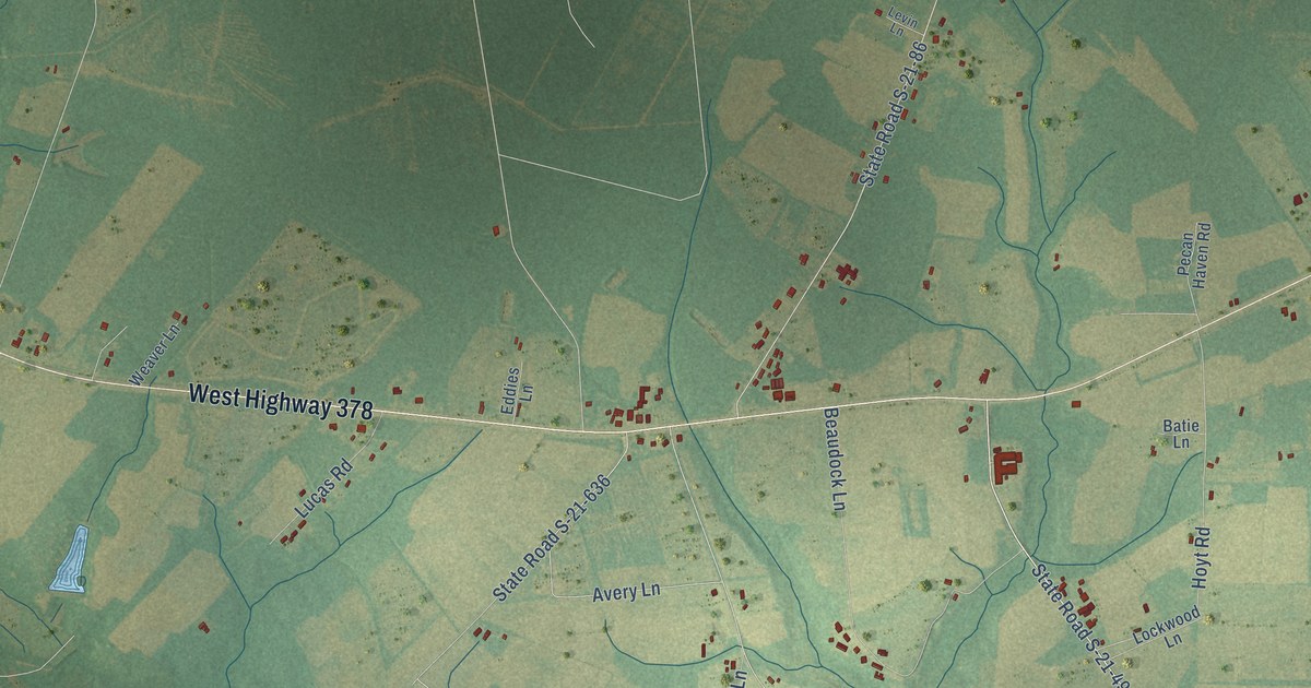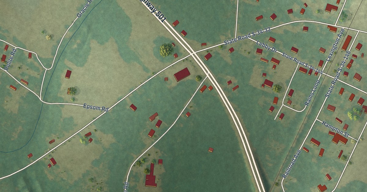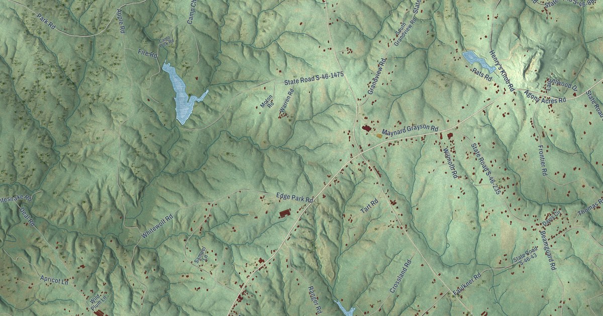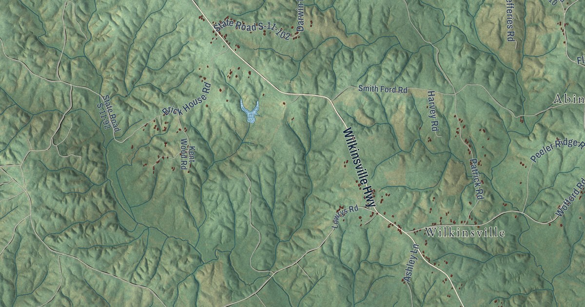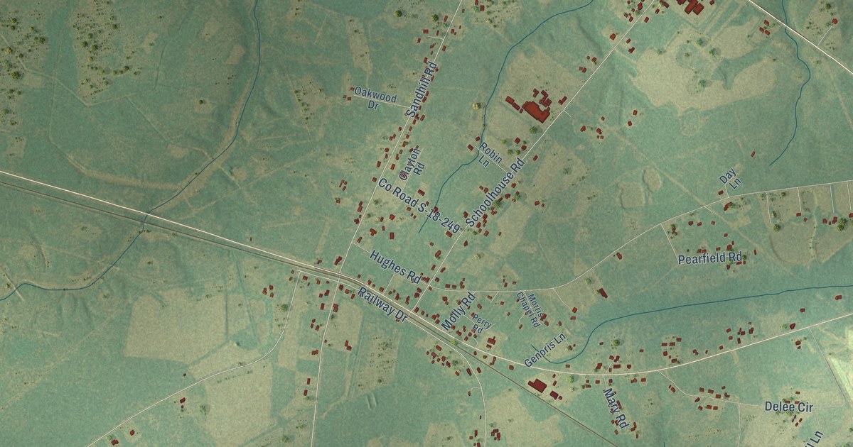
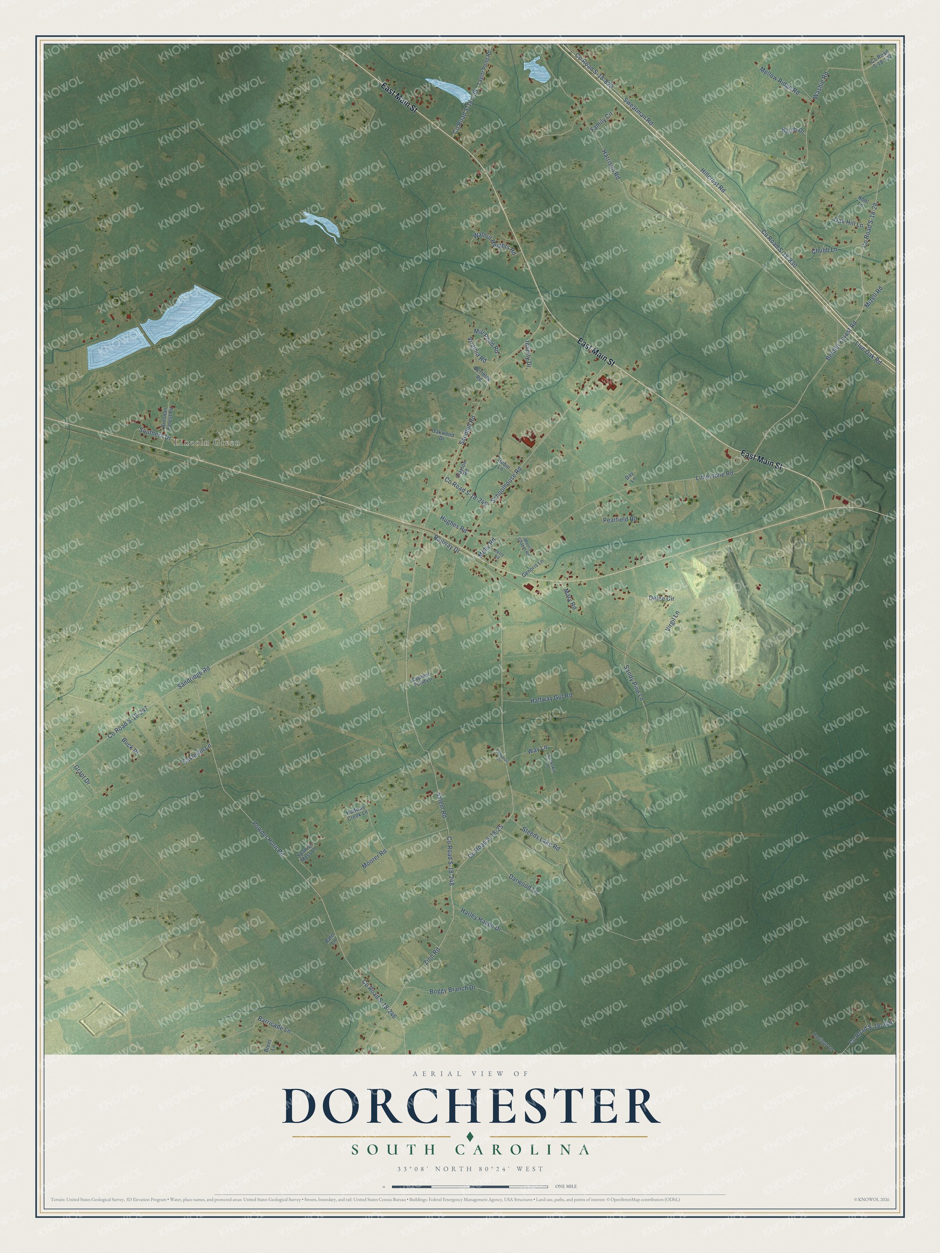
This beautifully detailed map of Dorchester, South Carolina was created in 2026 using aerial imagery combined with modern topographical, census, street and landmark data. It’s a one-of-a-kind view of Dorchester that combines accurate data with a vintage aesthetic. The map shows every building in its true location, many of the roads carry their names, and the shaded topographic relief shows the shape of the land.
Explore an aerial view of Dorchester, South Carolina
On the map you’ll find Lincoln Green, along with East Main Street, County Road S-18-25, County Road S-18-248, Zion Road, County Road S-18-247, Beidler Forest Road, County Road S-18-28, Sandridge Road, Harrison Road, County Road S-18-246, Powder Horn Road, and more. If you look closely you can even find your house accurately drawn in its correct location. Zoom in on the preview to look for yours.
Did You Know?
From Internet Archive: "John Osgood of Dorchester, were all the natives who obtained that honor for the first ninety years which followed the settlement of South- Carolina."
Dorchester is a community in Dorchester County.
Take a closer look at the Dorchester map
Names on this map
These names are printed on this map.
Places: Lincoln Green.
Streets and roads: East Main Street, County Road S-18-25, County Road S-18-248, Zion Road, County Road S-18-247, Beidler Forest Road, County Road S-18-28, Sandridge Road, Harrison Road, County Road S-18-246, Powder Horn Road, Salem Road.
More street names, A to Z
Barricade Lane, Berthlee Road, Boggy Branch Drive, Brent Lane, Brosnan Forest Road, Buck Place, Buckskin Lane, Butch Drive, Chubb Lane, Clayton Road, County Road S-18-132, County Road S-18-139, County Road S-18-249, County Road S-18-349, County Road S-18-829, County Road S-18-830, Cypress Pond Lane, Darwood Lane, Day Lane, Delee Circle, Easterlin Lane, Family Circle, Genoris Lane, Grant Drive, Halfway Creek Lane, Halfway Gut Road, Harley Haven Drive, Hillcrest Road, Horizon Lane, Hughes Road, Infinity Drive, Kohl Lane, Limestone Road, Live Oak Road, Mary Road, Mellow Ridge Road, Mill Pond Road, Mizell Road, Molly Road, Moorer Road, Morris Chapel Road, Oak Hill Lane, Oakwood Drive, Pate Lane, Pearfield Road, Pendarvis Circle, Perry Road, Railway Drive, Robin Lane, Sandhill Road, Sandy Pine Lane, Schoolhouse Road, Southern Drive, Spanish Moss Lane, Steeds Lake Road, Sweatman Road, Taylor Pond Road, Virgil Lane, Virginia Road, Walnut Heights Road, Washie Road, Way Lane.
See it on a wall
The Dorchester map as a framed print. Swipe for more.


This beautifully detailed map of Dorchester makes an attractive addition to your office, library, or den, and it can even be used to teach children the geography and history of the area. It also makes a great gift for someone who left Dorchester and still calls it home. When you’re done exploring, click here to get your copy of the Dorchester map.