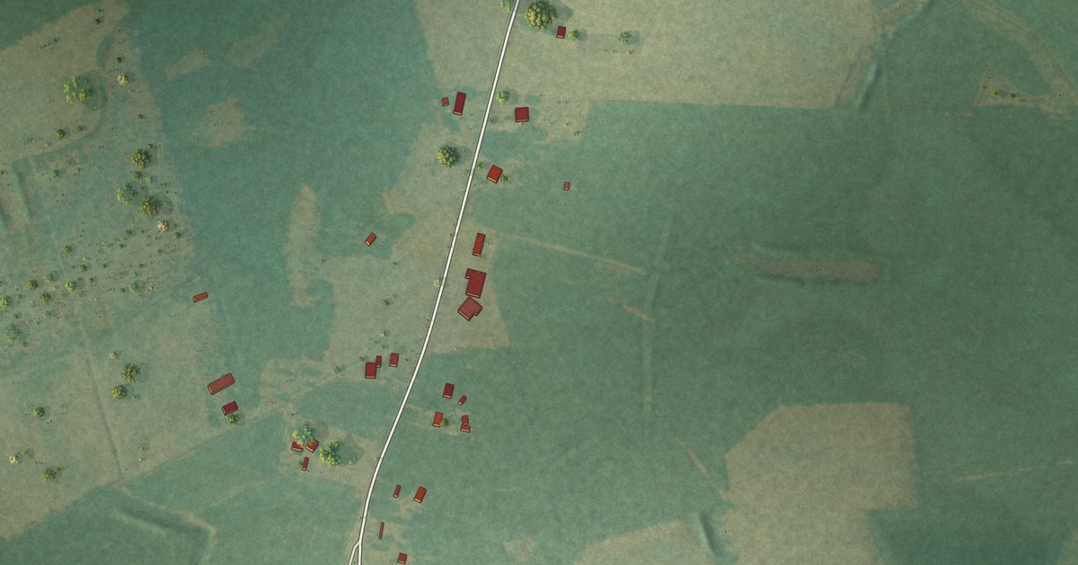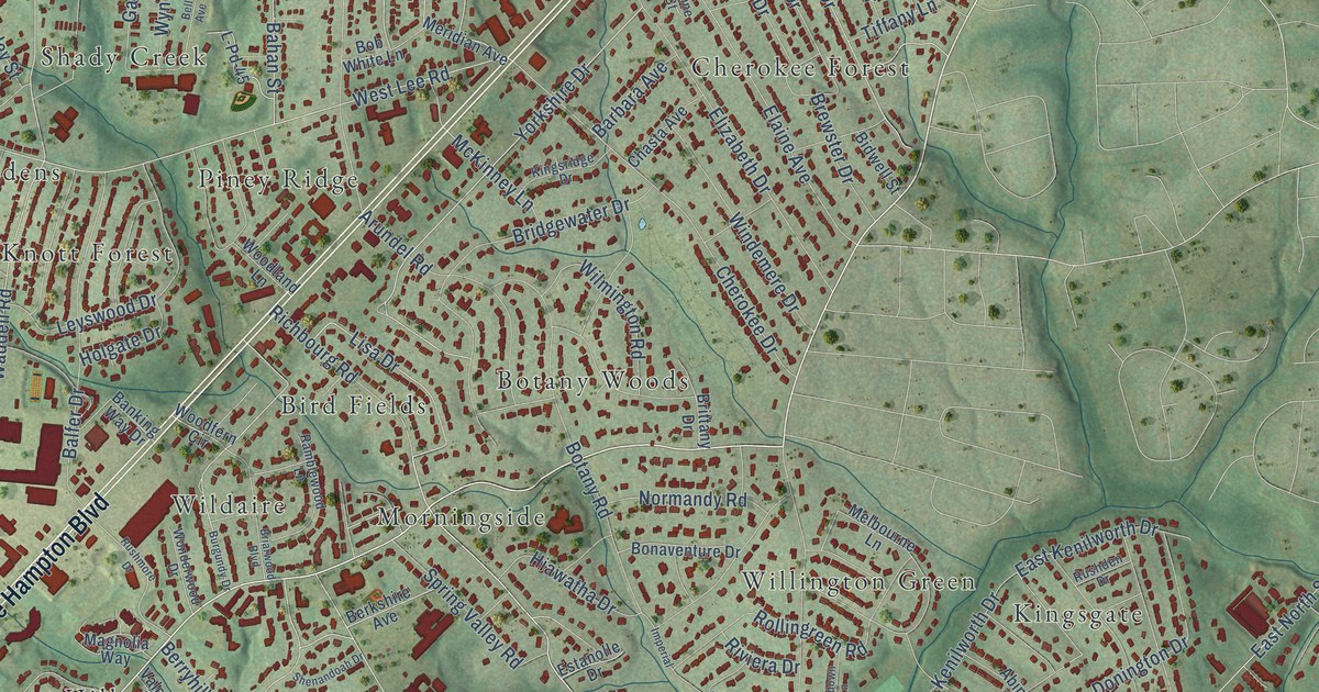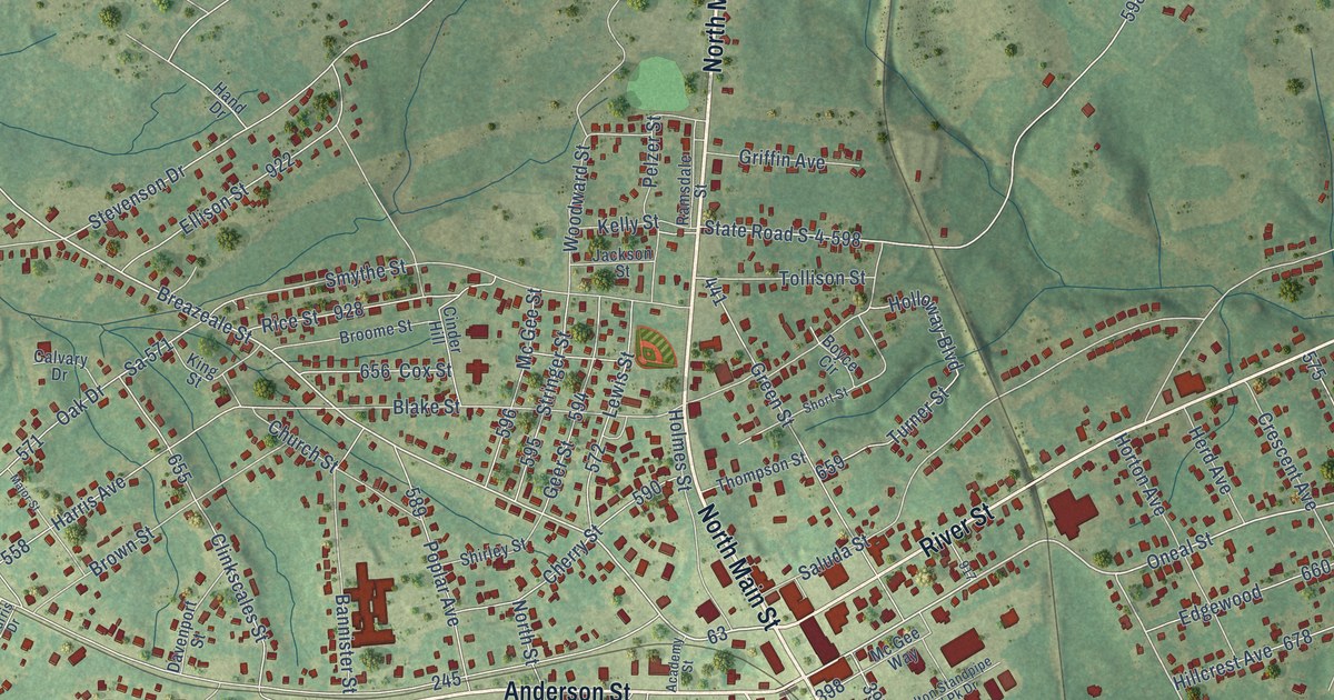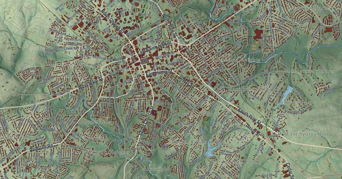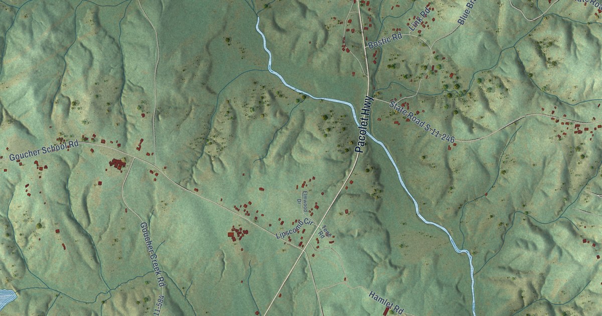
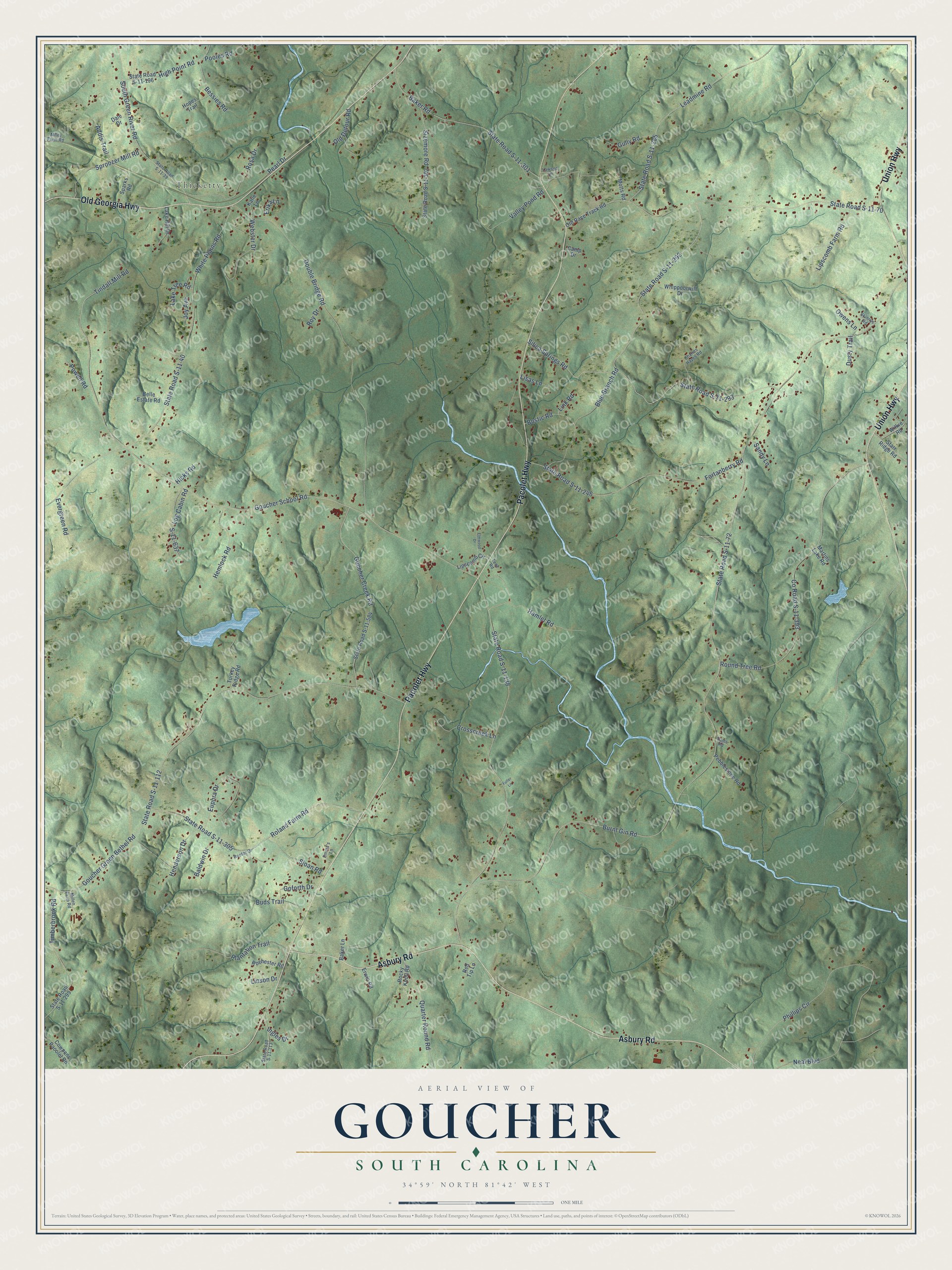
This beautifully detailed map of Goucher, South Carolina was created in 2026 using aerial imagery combined with modern topographical, census, street and landmark data. It’s a one-of-a-kind view of Goucher that combines accurate data with a vintage aesthetic. The map shows every building in its true location, many of the roads carry their names, and the shaded topographic relief shows the shape of the land.
Explore an aerial view of Goucher, South Carolina
On the map you’ll find Thicketty, along with Pacolet Highway, Asbury Road, Old Georgia Highway, Union Highway, Dusty Trail, State Road S-11-138, Burnt Gin Road, State Road S-11-72, Goucher School Road, Goucher Green Bethel Road, State Road S-11-112, and more. If you look closely you can even find your house accurately drawn in its correct location. Zoom in on the preview to look for yours.
Did You Know?
From Internet Archive: "A Joint Resolution to validate an election held September 14, 1920, in Goucher School District No. 16, In Cherokee county, authorliing the issuance of sixty-five hundred (16,500.00) dollars of coupon bonds by said school district for the purpose of erecting and equipping a school building in said school district."
Goucher is a community in Cherokee County.
Take a closer look at the Goucher map
Names on this map
These names are printed on this map.
Places: Thicketty.
Streets and roads: Pacolet Highway, Asbury Road, Old Georgia Highway, Union Highway, Dusty Trail, State Road S-11-138, Burnt Gin Road, State Road S-11-72, Goucher School Road, Goucher Green Bethel Road, State Road S-11-112, State Road S-11-40.
More street names, A to Z
Addis Trail, Baker Lane, Baker Road, Baldwin Drive, Belle Estate Road, Bessies Road, Blue Branch Road, Bostic Road, Buds Trail, Camp Drive, Charles Hayes Road, County Road S-11-393, Cowpens Pacolet Road, Crosscreek Lane, Dale Drive, Double Bridge Road, Elmwood Drive, Emma's Lane, Erika Lane, Erwin Road, Euphra Drive, Evergreen Road, Fortanberry Road, Fuller Lane, Goforth Drive, Goucher Creek Road, Gully Road, Hamlet Road, Hemlock Road, Henderson Drive, Hicks Road, High Point Road, Hopes Trail, Ingles Drive, Joy Avenue, Katie Lane, Lake Hill Drive, Lake Tree Road, Lawson Lane, Leadmine Road, Link Road, Linson Drive, Lipscomb Circle, Lipscomb Farm Road, Lisas Lane, Log Cabin Road, Martins Lake Road, Miley Farm Road, Millen Farm Road, Motts Road, Neal Boulevard, Old Detour Road, Old Race Track Road, Owens Lane, Pearl Drive, Pebblestone Road, Phillips Circle, Plantation Trail, Pooles Road, Powell Road, Quarter Round Road, Rector Drive, Red Tip Lane, Rochester Road, Rocky Knoll Road, Roland Farm Road, Rosa Drive, Round Tree Road, Roy Drive, S-11-637, Sams Road, Sandy Lane, Silica Springs Road, Sizemore Road, Skinnys Road, Sloan Road, South Green River Road, Sparks Road, Sproozer Mill Road, Starr Ridge Road, State Road S-11-39, State Road S-11-70, State Road S-11-113, State Road S-11-196, State Road S-11-246, State Road S-11-285, State Road S-11-292, State Road S-11-293, State Road S-11-299, State Road S-11-301, State Road S-11-302, State Road S-11-305, State Road S-11-584, Tene Road, Timberbrook Road, Tindall Mill Road, Turkey Ridge Road, Valley Pond Road, Webster Drive, Whippoorwill Drive, White Plains Road, Wilkie Road.
See it on a wall
The Goucher map as a framed print. Swipe for more.


This beautifully detailed map of Goucher makes an attractive addition to your office, library, or den, and it can even be used to teach children the geography and history of the area. It also makes a great gift for someone who left Goucher and still calls it home. When you’re done exploring, click here to get your copy of the Goucher map.