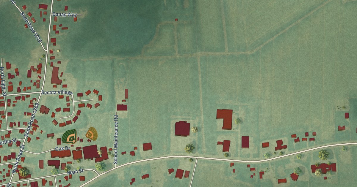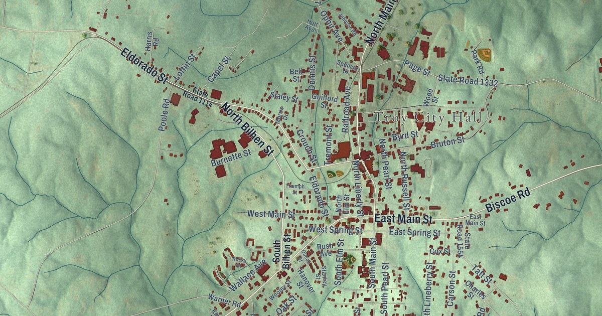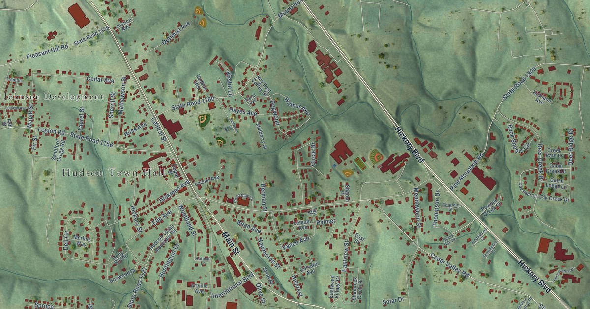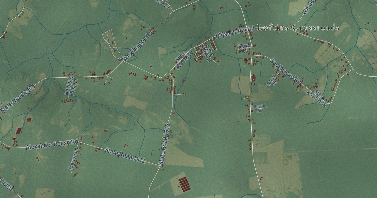
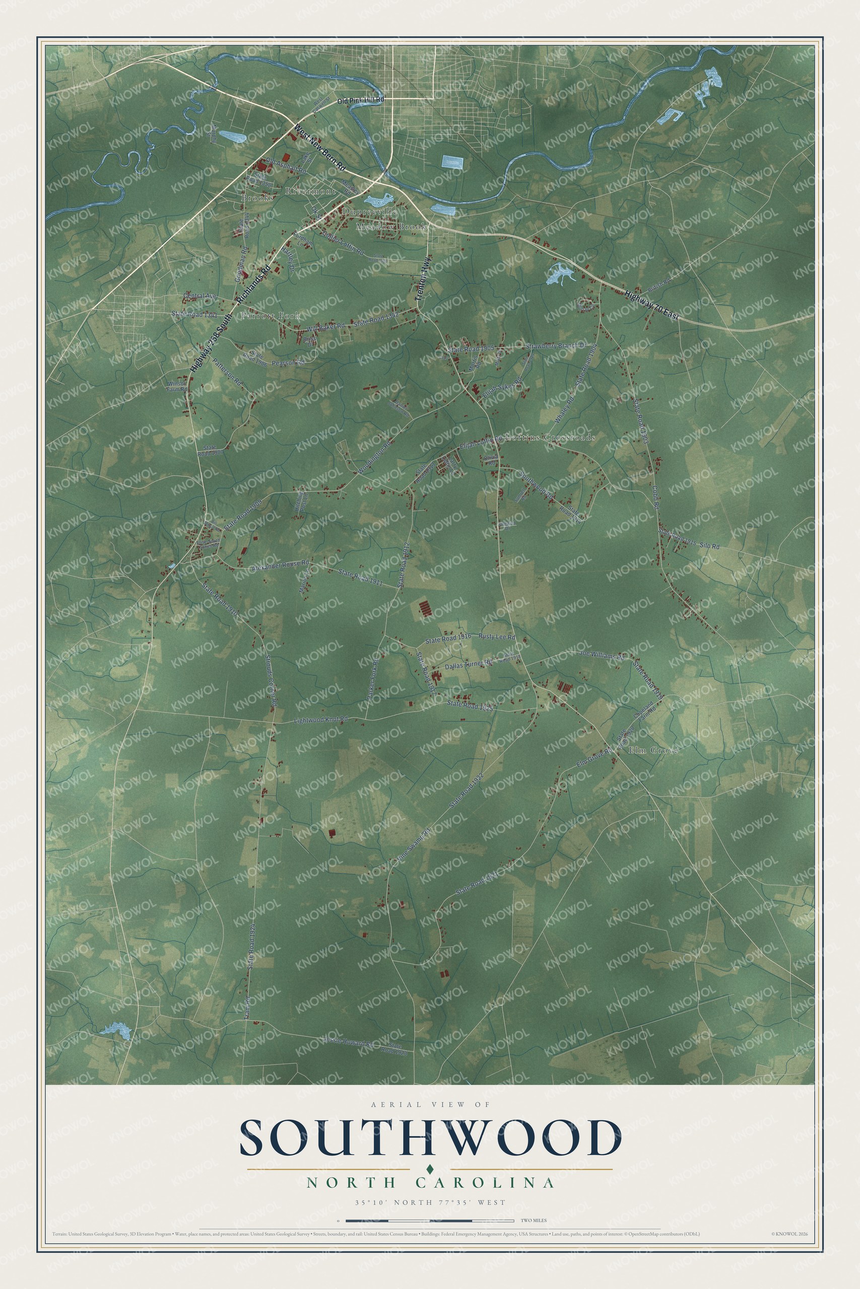
This beautifully detailed map of Southwood, North Carolina was created in 2026 using aerial imagery combined with modern topographical, census, street and landmark data. It’s a one-of-a-kind view of Southwood that combines accurate data with a vintage aesthetic. The map shows every building in its true location, many of the roads carry their names, and the shaded topographic relief shows the shape of the land.
Explore an aerial view of Southwood, North Carolina
On the map you’ll find Loftins Crossroads, Elm Grove, Brooks, Parrott Fork, Meadow Brook, Dupreeville, and Rivermont, along with Richlands Road, Trenton Highway, West New Bern Road, Highway 70 East, Highway 258 South, and more. If you look closely you can even find your house accurately drawn in its correct location. Zoom in on the preview to look for yours.
Take a closer look at the Southwood map
Names on this map
These names are printed on this map.
Places: Loftins Crossroads, Elm Grove, Brooks, Parrott Fork, Meadow Brook, Dupreeville and Rivermont.
Streets and roads: Richlands Road, Trenton Highway, West New Bern Road, Highway 70 East, Highway 258 South, Will Baker Road, State Road 1341, State Road 1922, Vine Swamp Road, Cobb Road, Woodington Road, State Road 1903.
More street names, A to Z
Alexander Rouse Road, Bill Stroud Road, Briss Drive, British Road, Central Avenue, Collier Loftin Road, Copeland Farm Road, Dallas Turner Road, Daniel Johnson Road, Elijah Loftin Road, Elijah Sykes Road, Elise South Jones Road, Elm Grove Road, Fordham Lane, Goodman Road, Hartley Drive, Hitching Post Lane, Idlewild Drive, Jessie Howard Road, Joe Williams Road, Lake Street, Larry Loftin Lane, Laurl, Lightwood Knot Road, Marion Lane, Measley Road, Misty Drive, Morris Road, Murphy Street, Murray Circle, Ok Street, Old Asphalt Road, Old Pink Hill Road, Olivia Road, Parker Fork Road, Patterson Road, Pearson Road, Rusty Lee Road, Silo Road, Southwood Road, State Road 1342, State Road 1344, State Road 1358, State Road 1900, State Road 1904, State Road 1905, State Road 1906, State Road 1907, State Road 1909, State Road 1910, State Road 1911, State Road 1912, State Road 1913, State Road 1914, State Road 1915, State Road 1916, State Road 1917, State Road 1918, State Road 1919, State Road 1920, State Road 1921, State Road 1923, State Road 1924, State Road 1925, State Road 1929, Strawberry Branch Drive, Strouds Corner Road, Sumrell Road, Tram Road, West Caswell Street, Whaley Road, Winsor Farm Road.
See it on a wall
The Southwood map as a framed print. Swipe for more.


This beautifully detailed map of Southwood makes an attractive addition to your office, library, or den, and it can even be used to teach children the geography and history of the area. It also makes a great gift for anyone with Southwood roots. When you’re done exploring, click here to get your copy of the Southwood map.