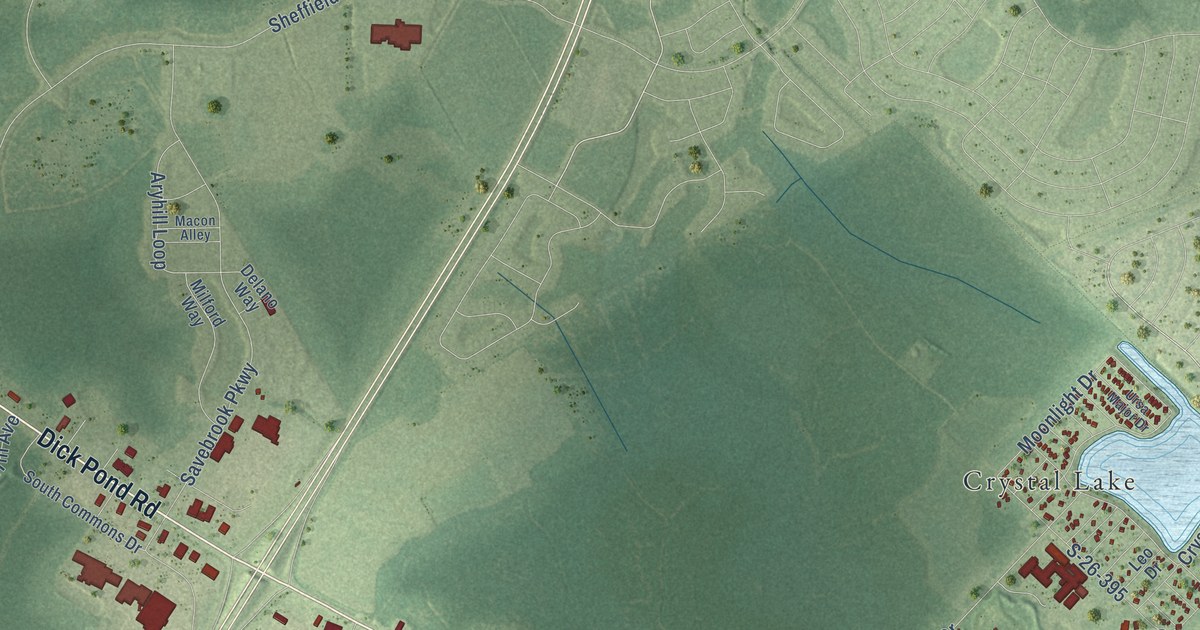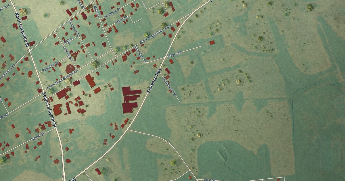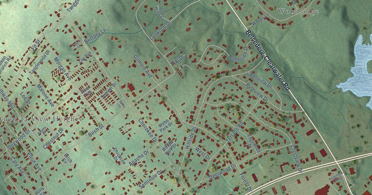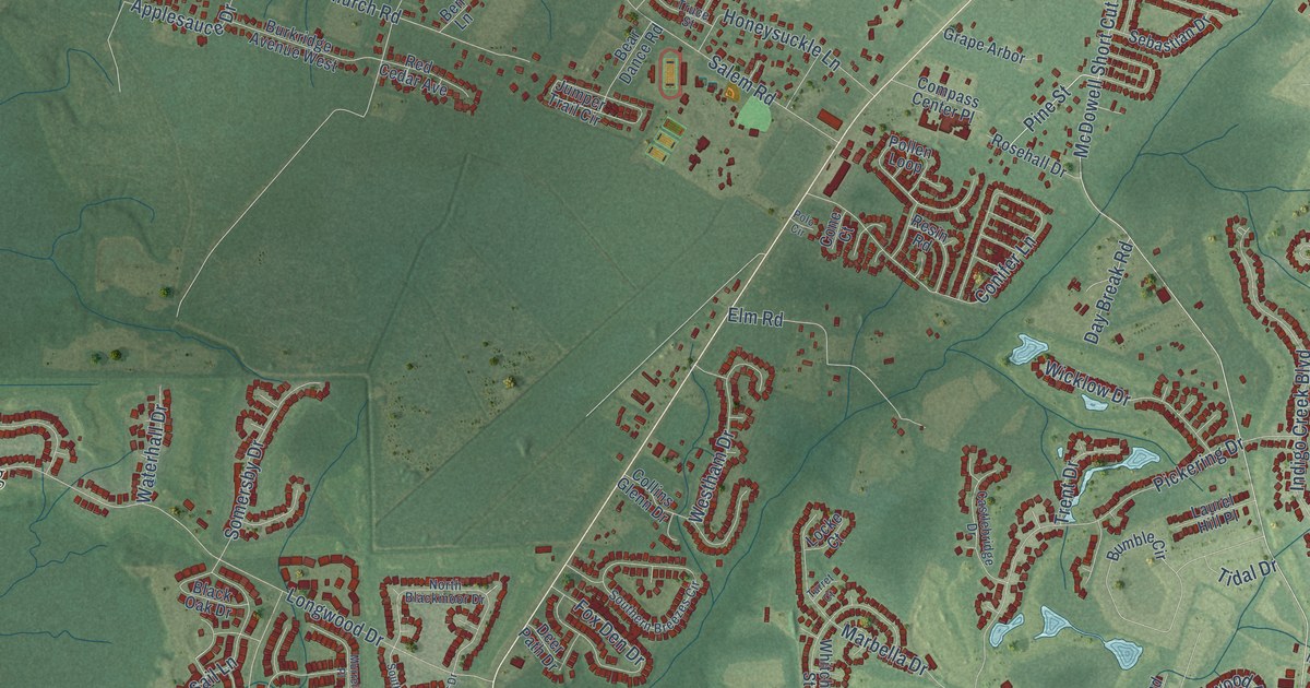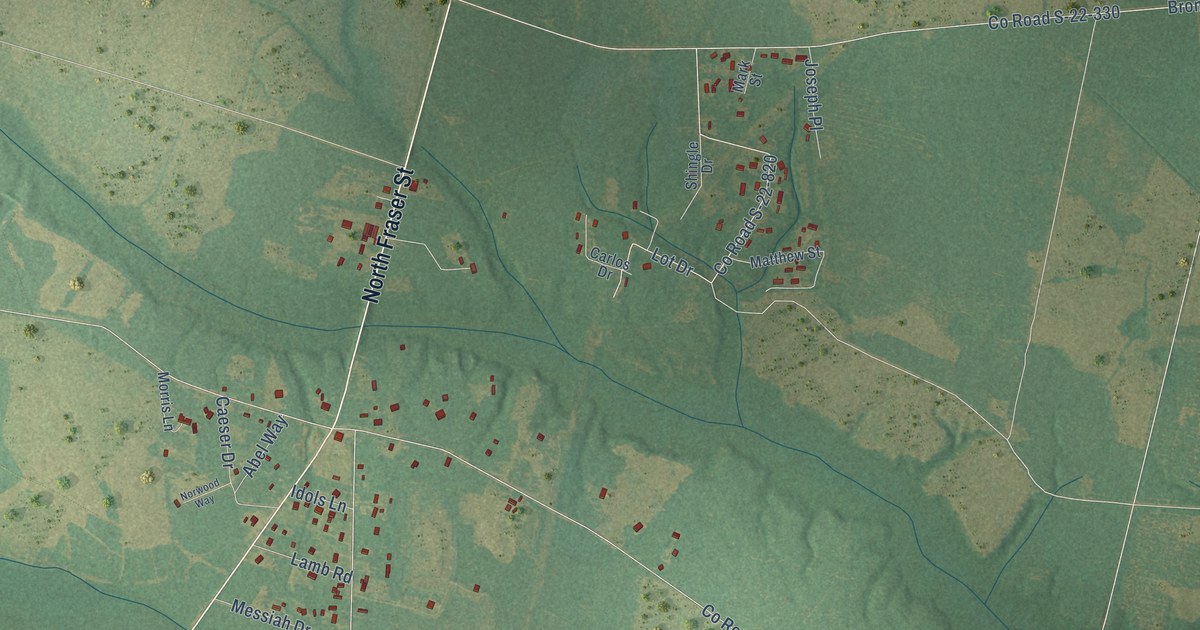
This beautifully detailed map of Plantersville, South Carolina was created in 2026 using aerial imagery combined with modern topographical, census, street and landmark data. It’s a one-of-a-kind view of Plantersville that combines accurate data with a vintage aesthetic. The map shows every building in its true location, many of the roads carry their names, and the shaded topographic relief shows the shape of the land.
Explore an aerial view of Plantersville, South Carolina
On the map you’ll find Saint Pauls, along with North Fraser Street, Chicora Wood Avenue, County Road S-22-264, Exodus Drive, County Road S-22-52, Plantersville Road, County Road S-22-180, Jackson Village Road, Bromell Avenue, County Road S-22-330, Lucy Grier Drive, and more. If you look closely you can even find your house accurately drawn in its correct location. Zoom in on the preview to look for yours.
Did You Know?
From Internet Archive: "Immediately after the completion of the handsome brick Church on the Pee Dee, the urgent need of a chapel of ease in Plantersville presented itself to the vestry."
Plantersville is a community in Georgetown County.
Take a closer look at the Plantersville map
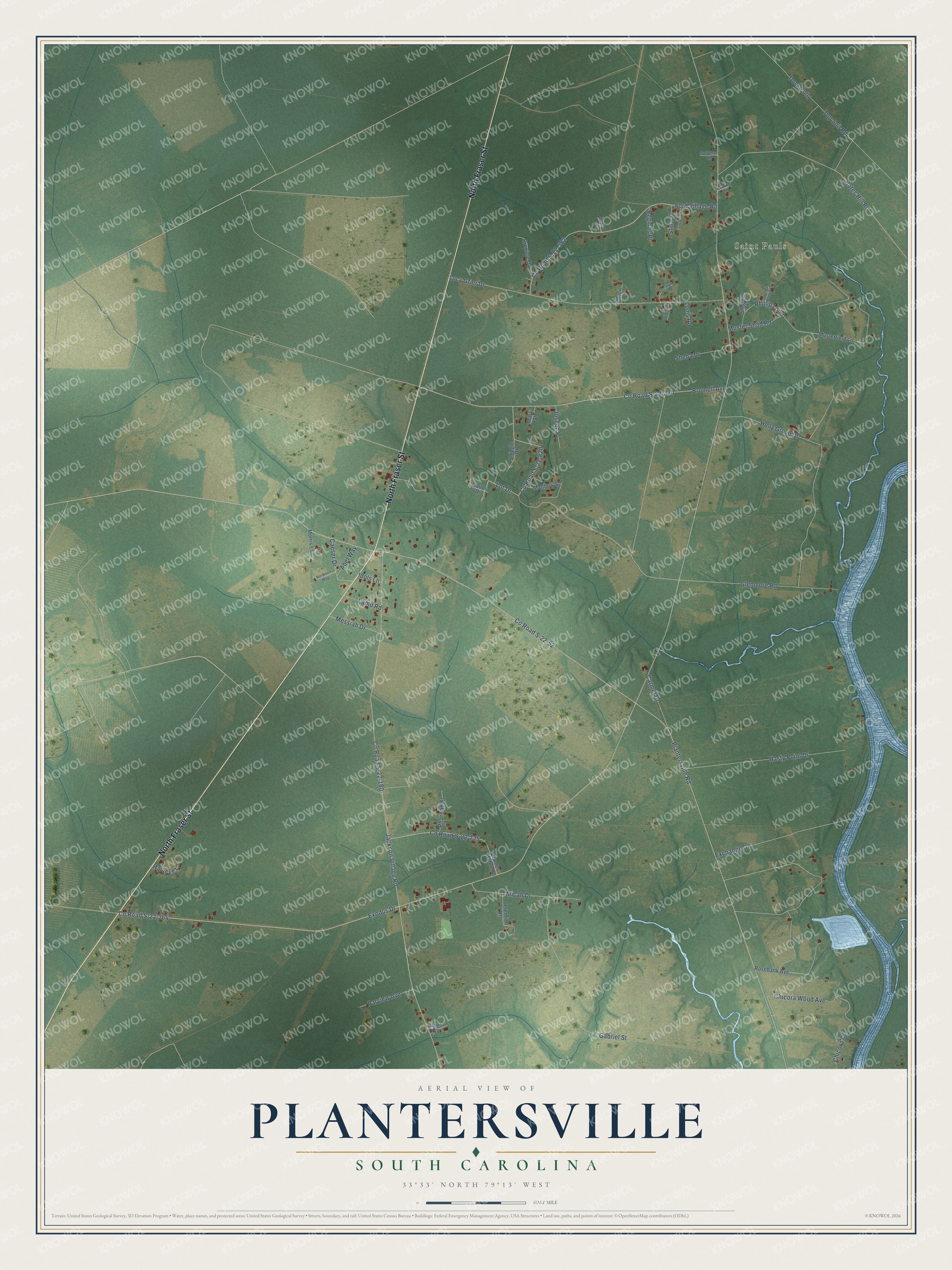
Names on this map
These names are printed on this map.
Places: Saint Pauls.
Streets and roads: North Fraser Street, Chicora Wood Avenue, County Road S-22-264, Exodus Drive, County Road S-22-52, Plantersville Road, County Road S-22-180, Jackson Village Road, Bromell Avenue, County Road S-22-330, Lucy Grier Drive, Holly Grove Drive.
More street names, A to Z
Abel Way, Bates Hill Road, Caeser Drive, Carlos Drive, Carmel Drive, Chicora Avenue, County Road S-22-582, County Road S-22-725, County Road S-22-820, Cronicle Drive, Dock Folly, Exchange Drive, Ford Village Road, Gabriel Street, Glenmore Road, Gregs Avenue, Harvey Court, Hasty Point Drive, Idols Lane, Isaiah Street, James Milton Road, Jeremiah Drive, Joseph Place, Lamb Road, Lazarus Lane, Lot Drive, Louis Road, Mark Street, Matthew Street, Messiah Drive, Micah Drive, Morris Lane, Musterfield Lane, Muster Shad Road, Norwood Way, Parview Avenue, Pharoah Street, Phillip Loop, Proverbs Lane, Psalms Lane, Reginas Place, Rosebank Avenue, Sheba Drive, Shingle Drive, Soloman Lane, Staghorn Trail, Stina Street, Timothy Place, Top Soil Road, Trebor Lane, Velvet Seed Lane.
See it on a wall
The Plantersville map as a framed print. Swipe for more.


This beautifully detailed map of Plantersville makes an attractive addition to your office, library, or den, and it can even be used to teach children the geography and history of the area. It also makes a great gift for anyone with Plantersville roots. When you’re done exploring, click here to get your copy of the Plantersville map.