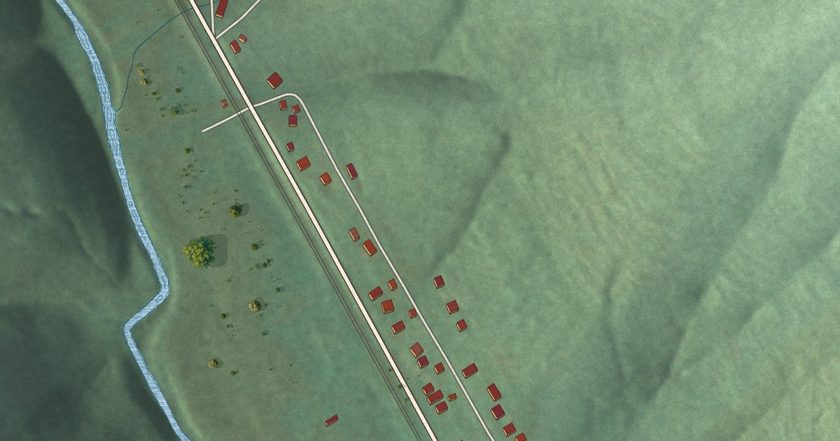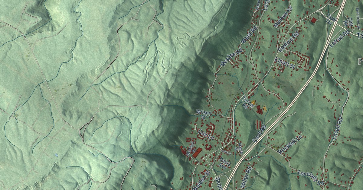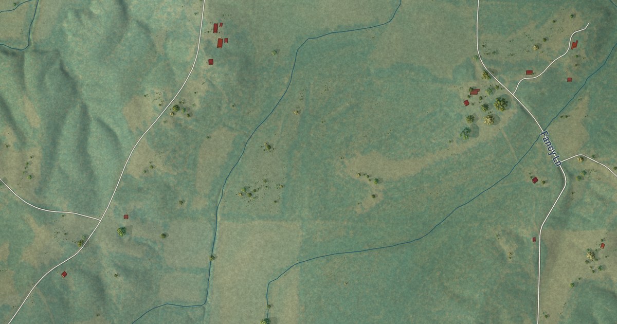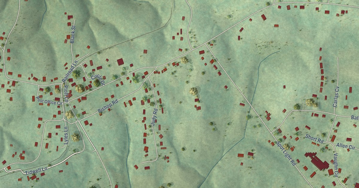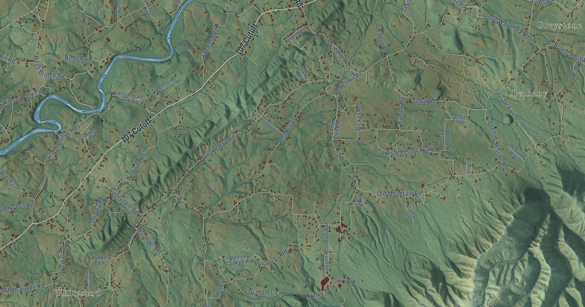
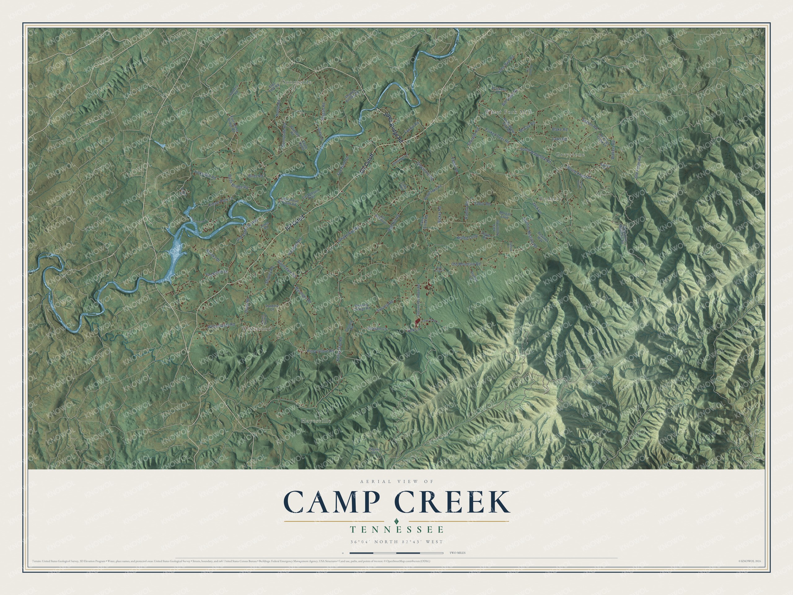
This beautifully detailed map of Camp Creek, Tennessee was created in 2026 using aerial imagery combined with modern topographical, census, street and landmark data. It’s a one-of-a-kind view of Camp Creek that combines accurate data with a vintage aesthetic. The map shows every building in its true location, many of the roads carry their names, and the shaded topographic relief shows the shape of the land.
Explore an aerial view of Camp Creek, Tennessee
On the map you’ll find Hayesville, Sunnyside, Greystone, Whitesand, Bethany, Water Fork Mill, and 107 Cutoff, along with Jones Bridge Road, House Road, Shelton Mission Road, South Waterfork Road, Greystone Road, and more. If you look closely you can even find your house accurately drawn in its correct location. Zoom in on the preview to look for yours.
Did You Know?
From Internet Archive: "In 1786 another settlement was begun on Station Camp Creek, and from this date settlement was quite rapid over the county, the early settlers locating along the stream courses."
Camp Creek is a community in Greene County.
Take a closer look at the Camp Creek map
Names on this map
These names are printed on this map.
Places: Hayesville, Sunnyside, Greystone, Whitesand, Bethany and Water Fork Mill.
Streets and roads: 107 Cutoff, Jones Bridge Road, House Road, Shelton Mission Road, South Waterfork Road, Greystone Road, Kelley Gap Road, Old Asheville Highway, Round Knob Road, Sunnydale Road, White Sands Road, Sunnyside Road.
More street names, A to Z
Ash Meadow Drive, Bill Jones Road, Bill Shaw Road, Birds Bridge Road, Birds Road, Bishop Loop, Blake Road, Bowman Road, Brackens Lane, Brooks Drive, Bull Frog Lane, Burnett Chapel Lane, Cal Dobson Trail, Camp Creek Road, Camp Joshua Lane, Colyer Road, Cutshaw Lane, Dixie Road, Eagle Roost, East Allens Bridge Road, East Fork Road, Fannin Road, Flag Branch Road, Forked Deer Road, Fox Ford Road, Gosnell Road, Graham Lane, Greene Mountain Road, Grey Lane, Greystone Mountain Road, Harrison Road, Jack Lane, Jack Norton Road, Jennings Creek Lane, Jennings Lane, John Bird Road, Jones Road, Kinser Park Lane, Laws Road, Links Mill Road, Little Indian Creek Road, Lofty Heights, McCoy Road, Morgan Loop, Mysinger Road, North Water Fork Road, Old Forge Road, Old Mountain Road, Pandora Lane, Parrish Drive, Peavine Way, Pilgrim Lane, Piney Grove Road, Pisgah Road, Rambo Road, Reaves Mill Road, Red Hill Road, Ricker Road, Round Knob Lane, Sanders Road, Seaton Road, Sentelle Road, Shake Rag Road, Shipley Road, Stanton Lane, Stephen Brooks Road, Susong Road, Tabor Lane, Tabor Road, Ted Cooter Way, Valk Lane, Walters Lane, Walters Road, Woosley College Road.
See it on a wall
The Camp Creek map as a framed print. Swipe for more.


This beautifully detailed map of Camp Creek makes an attractive addition to your office, library, or den, and it can even be used to teach children the geography and history of the area. It also makes a great gift for someone who left Camp Creek and still calls it home. When you’re done exploring, click here to get your copy of the Camp Creek map.