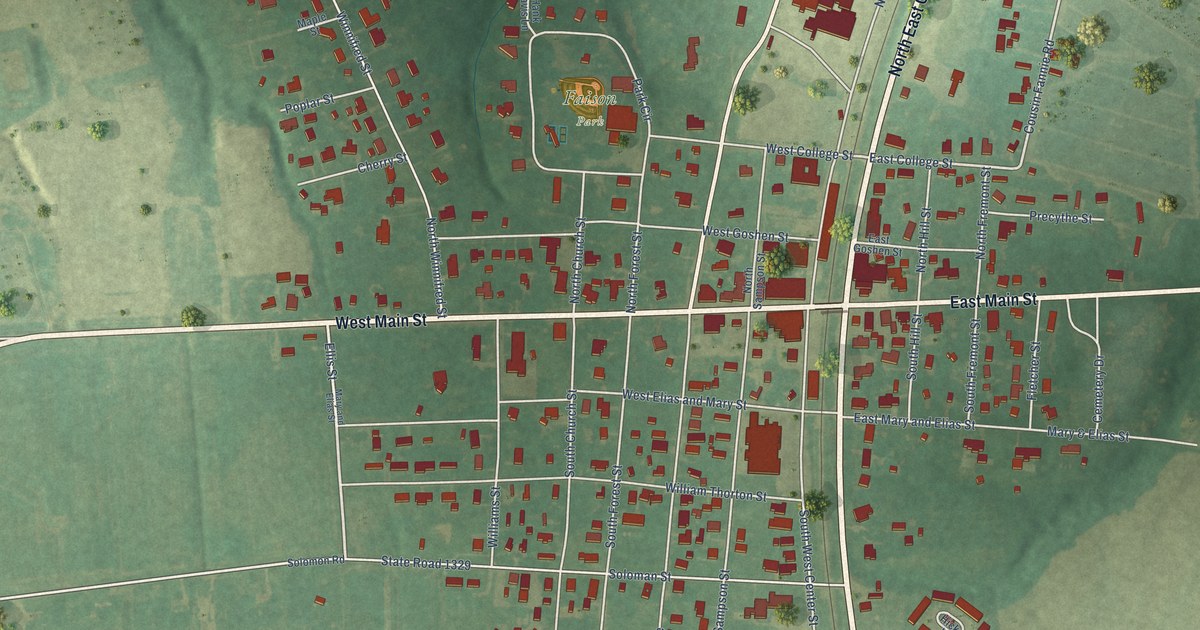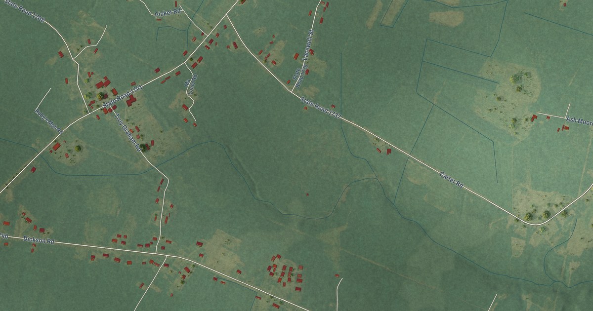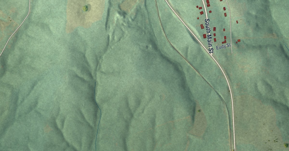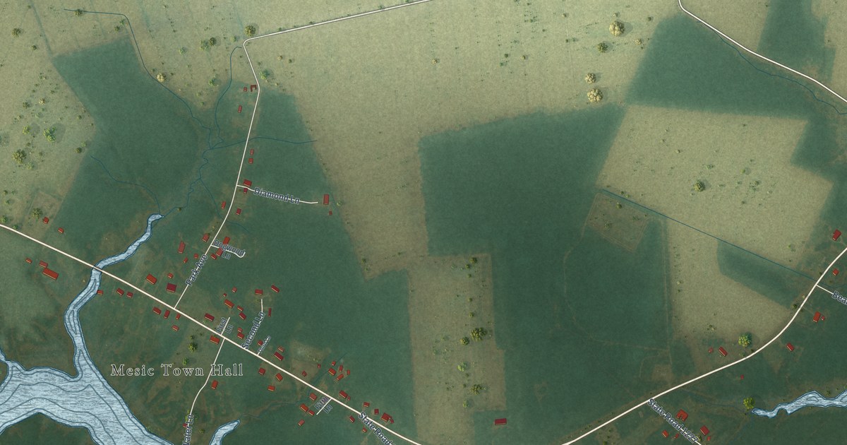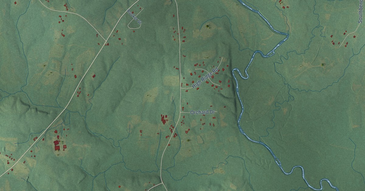
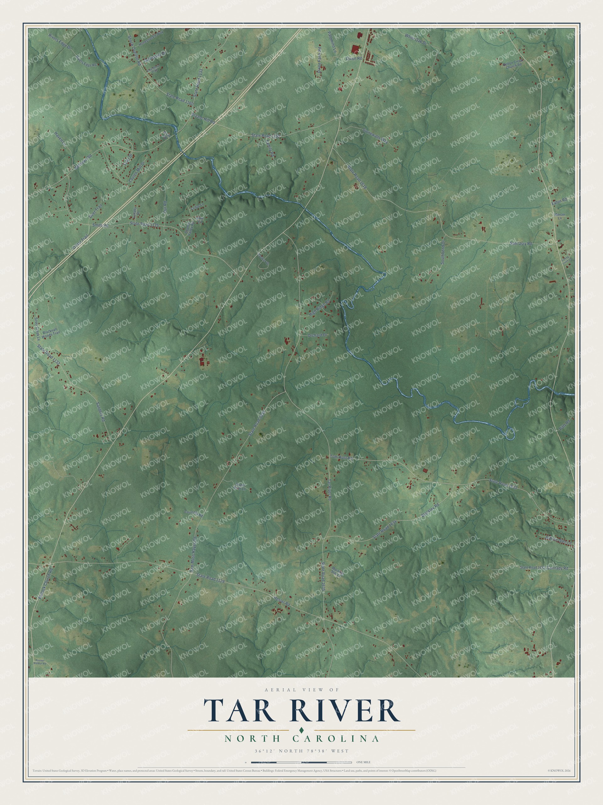
This beautifully detailed map of Tar River, North Carolina was created in 2026 using aerial imagery combined with modern topographical, census, street and landmark data. It’s a one-of-a-kind view of Tar River that combines accurate data with a vintage aesthetic. The map shows every building in its true location, many of the roads carry their names, and the shaded topographic relief shows the shape of the land.
Explore an aerial view of Tar River, North Carolina
On the map you’ll find State Road 1635, Tar River Road, Hester Road, State Road 1129, Sam Moss Hayes Road, State Road 1636, Belltown Road, State Road 1133, State Road 1633, Tom Hunt Road, Sam Usry Road, State Road 1618, and more. If you look closely you can even find your house accurately drawn in its correct location. Zoom in on the preview to look for yours.
Did You Know?
From Internet Archive: "In 1786 William Grimes purchased several farms on Tar River a few miles below Avon, which he consolidated into a fine plantation named by him Grimesland."
Tar River is a community in Granville County.
Take a closer look at the Tar River map
Names on this map
These names are printed on this map.
Streets and roads: State Road 1635, Tar River Road, Hester Road, State Road 1129, Sam Moss Hayes Road, State Road 1636, Belltown Road, State Road 1133, State Road 1633, Tom Hunt Road, Sam Usry Road, State Road 1618.
More street names, A to Z
Ashton Glen Lane, Belton Creek Church Road, Blackley Road, Blacknall Woods Trail, Bryans Hill Road, Bullock Church Road, Cannady Road, Cedar Lane, Country Valley Road, Courtney Road, Critter Trail, Deer Trail, Dixon Farm Road, Dixon Road, Eaton Road, Elderberry Trail, Family Road, Fishing Creek Lane, Goldstone Drive, Haven Lane, High Ridge Road, Hoerner Waldorf Road, Honeysuckle Way, Lauren Mill Drive, Lullaby Drive, Mercer Lane, Morning Star Lane, Orchard Drive, Our Road, Palomino Lane, Pine Circle, Pitts Road, River Road, Rivers Edge Drive, Rivers Edge Road, Rooker Street, Sanders Road, Shock Overton Road, Silver Creek Lane, Smith Road, Southbend Drive, State Road 1132, State Road 1135, State Road 1160, State Road 1192, State Road 1632, State Road 1634, Stonewalls Way, Sweet Briar Lane, Tyler Drive, White Oak Drive.
See it on a wall
The Tar River map as a framed print. Swipe for more.


This beautifully detailed map of Tar River makes an attractive addition to your office, library, or den, and it can even be used to teach children the geography and history of the area. It also makes a great gift for someone who left Tar River and still calls it home. When you’re done exploring, click here to get your copy of the Tar River map.